The Lawn
Downs, Moorland in Staffordshire East Staffordshire
England
The Lawn

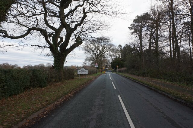
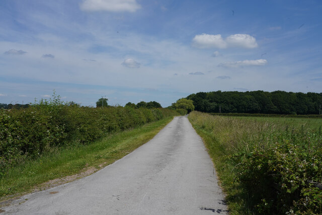
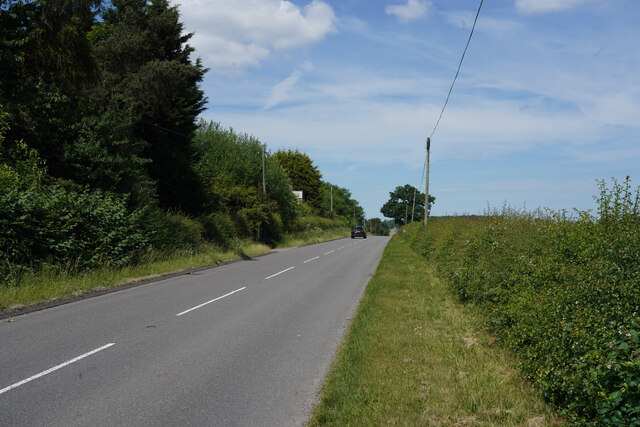
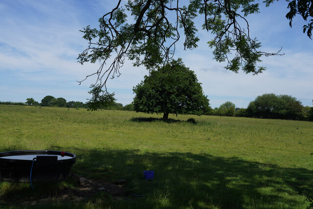
The Lawn is a picturesque area located in Staffordshire, England, encompassing vast expanses of downs and moorland. Spanning over several miles, this landscape is known for its stunning beauty and tranquility. The area is characterized by rolling hills covered in lush green grass and heather, interspersed with rocky outcrops and patches of woodland.
The Lawn is a haven for nature enthusiasts, offering a wide array of flora and fauna. The downs are home to various species of wildflowers, including purple heather, yellow gorse, and vibrant orchids. The moorland supports an abundance of birdlife, such as curlews, lapwings, and skylarks. Visitors may also spot hares, foxes, and deer roaming freely in their natural habitat.
The rugged terrain of The Lawn makes it a popular destination for outdoor activities. Hiking and walking trails crisscross the area, providing visitors with breathtaking views and opportunities to explore the diverse landscape. Additionally, the hills are ideal for paragliding and kite flying, attracting adventure seekers from near and far.
The Lawn is also steeped in history and culture. Ancient burial mounds and stone circles dot the landscape, offering glimpses into the area's rich heritage. The nearby villages offer traditional pubs and quaint cottages, providing a glimpse into the local way of life.
In conclusion, The Lawn in Staffordshire is a scenic and diverse landscape, offering visitors a chance to immerse themselves in nature, engage in outdoor activities, and explore the area's fascinating history.
If you have any feedback on the listing, please let us know in the comments section below.
The Lawn Images
Images are sourced within 2km of 52.819536/-1.7579848 or Grid Reference SK1624. Thanks to Geograph Open Source API. All images are credited.


The Lawn is located at Grid Ref: SK1624 (Lat: 52.819536, Lng: -1.7579848)
Administrative County: Staffordshire
District: East Staffordshire
Police Authority: Staffordshire
What 3 Words
///landmark.beams.fiery. Near Yoxall, Staffordshire
Nearby Locations
Related Wikis

RAF Tatenhill
RAF Tatenhill is a former Royal Air Force satellite airfield in Tatenhill, Staffordshire, England, 4 NM (7.4 km; 4.6 mi) west of Burton on Trent. It was...
Tatenhill Airfield
Tatenhill Airfield (ICAO: EGBM) is a licensed airfield operated by Tatenhill Aviation Ltd. Its CAA Ordinary Licence (Number P813) allows flights for the...
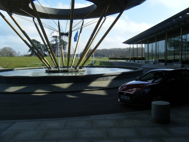
St George's Park National Football Centre
St George's Park (SGP) is the English Football Association's national football centre (NFC) built on a 330-acre (130 ha) site at Burton upon Trent, Staffordshire...

Byrkley Lodge
Byrkley Lodge was a country house and later racing horse stud farm, located close to Burton on Trent, Staffordshire. Demolished in 1953, its former grounds...
Nearby Amenities
Located within 500m of 52.819536,-1.7579848Have you been to The Lawn?
Leave your review of The Lawn below (or comments, questions and feedback).