Harelaw Common

Downs, Moorland in Northumberland

England

Harelaw Common

High tension wires This telephone line was a victim of Storm Arwen two months ago but presumably is still working despite the tension in the cable.  Conversations might be a bit strained.
High tension wires Credit: Leanmeanmo

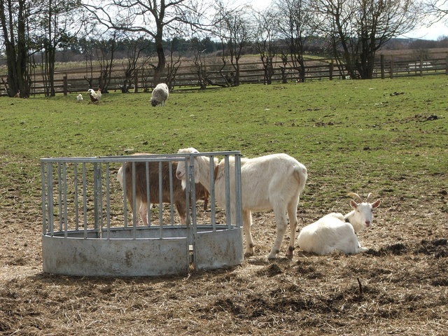
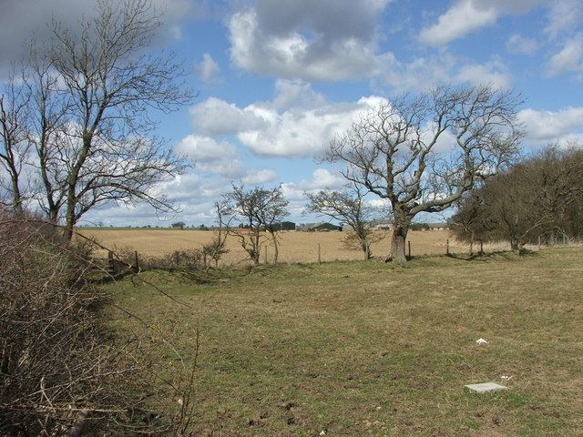
Harelaw Common is a vast expanse of moorland located in Northumberland, England. Covering an area of approximately 2,000 acres, the common is characterized by rolling hills, heather-covered slopes, and expansive views of the surrounding countryside. The landscape is dotted with small streams and ponds, providing important habitats for a variety of wildlife, including birds, insects, and small mammals.

The common is popular with hikers, birdwatchers, and nature enthusiasts, who come to explore the network of footpaths and trails that crisscross the area. The terrain is rugged and challenging, making it a great destination for those seeking a more strenuous outdoor experience.

Harelaw Common is also home to a number of archaeological sites, including ancient burial mounds and stone circles, which offer a glimpse into the area's rich history. The common is managed by a local conservation group, which works to protect and preserve its natural beauty for future generations to enjoy. Overall, Harelaw Common is a tranquil and picturesque destination that offers visitors a chance to experience the beauty of Northumberland's countryside.

If you have any feedback on the listing, please let us know in the comments section below.

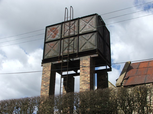
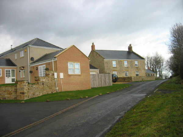
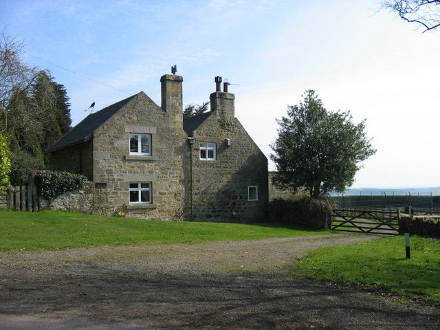
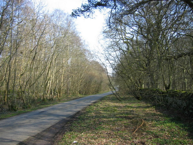
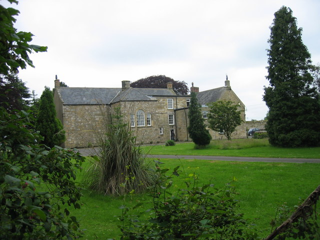
Harelaw Common Images

Images are sourced within 2km of 55.226992/-1.7487319 or Grid Reference NZ1692. Thanks to Geograph Open Source API. All images are credited.

High tension wires This telephone line was a victim of Storm Arwen two months ago but presumably is still working despite the tension in the cable.  Conversations might be a bit strained.
High tension wires
This telephone line was a victim of Storm Arwen two months ago but presumably is still working despite the tension in the cable. Conversations might be a bit strained.
Unusual stone staircase stile at old St Helen's Church Not the easiest stile to negotiate, the vertical posts on top of the wall clearly had wooden rails between them.
Unusual stone staircase stile at old St Helen's Church
Not the easiest stile to negotiate, the vertical posts on top of the wall clearly had wooden rails between them.
St Helen's Church, Longhorsley
Storage Tank Fenrother
Storage Tank
Fenrother
Farmyard Animals A mixture of farmyard animals enjoying the Spring sunshine.
Farmyard Animals
A mixture of farmyard animals enjoying the Spring sunshine.
Farmland The fence separates two fields, one for growing arable crops and the other for grazing horses.
Farmland
The fence separates two fields, one for growing arable crops and the other for grazing horses.
Road to Fenrother from A697
Moor Edge Cottage
Moor Edge Cottage
Mobile telephone mast near Fieldhead
Fieldhead Old farm and new developments
Fieldhead
Old farm and new developments
Moorhen Cottage The only Moorhen weather vane that I've ever seen.
Moorhen Cottage
The only Moorhen weather vane that I've ever seen.
Road through Beaconhill Wood
Driveway leading to Smallburn Farm
The track to Whemley Burn as it leaves the A697 road
St Helens Church (ruin), Longhorsley
Public Footpath over Farmland Footpath heading down to Longhorsley.
Public Footpath over Farmland
Footpath heading down to Longhorsley.
Conifers A small stand of conifers near Fieldhead. An ideal environment for red squirrels
Conifers
A small stand of conifers near Fieldhead. An ideal environment for red squirrels
Show me another place!

Harelaw Common is located at Grid Ref: NZ1692 (Lat: 55.226992, Lng: -1.7487319)

Unitary Authority: Northumberland

Police Authority: Northumbria

What 3 Words

///worlds.eternity.attending. Near Longhorsley, Northumberland

Related Wikis

Longhorsley

Longhorsley is a village in Northumberland, England about 7 miles (11 km) northwest of Morpeth, and about 14 miles (23 km) south of Alnwick. The A697 road...

Causey Park House

Causey Park House is a 16th-century former manor house with Grade II listed building status situated at Causey Park, Northumberland, England. The Manors...

Causey Park Bridge

Causey Park Bridge is a village in Northumberland, England. It is about 6 miles (10 km) to the north of Morpeth and a similar distance inland from the...

Stanton, Northumberland

Stanton is a small hamlet and former civil parish, now in the parish of Netherwitton, in Northumberland, England, which is located 7 miles (11 km) north...

Nearby Amenities

Located within 500m of 55.226992,-1.7487319
Harelaw Common
Place: locality
Lat/Long: 55.2277274/-1.7500893
Longhorsley Moor
Place: locality
Lat/Long: 55.2255887/-1.7541516
Parking
Lat/Long: 55.2292081/-1.7446732
The data included in this document is from www.openstreetmap.org. The data is made available under ODbL.

Have you been to Harelaw Common?

Leave your review of Harelaw Common below (or comments, questions and feedback).