Bradley Moor
Downs, Moorland in Northumberland
England
Bradley Moor
Bradley Moor is a vast expanse of moorland located in Northumberland, England. Situated in the northern part of the county, it covers an area of approximately 3,000 hectares. The moor is part of the larger Northumberland National Park, renowned for its stunning natural beauty and diverse wildlife.
Characterized by its rolling hills, open grassland, and heather-clad slopes, Bradley Moor offers a unique landscape that is both tranquil and awe-inspiring. The moor is predominantly composed of acidic peat soil, creating ideal conditions for the growth of heather and other moorland vegetation. These plants provide habitat for a variety of wildlife, including birds such as curlews, lapwings, and grouse.
One of the notable features of Bradley Moor is the presence of Bronze Age burial mounds, known locally as tumuli. These ancient burial sites provide a glimpse into the area's rich history and heritage. Moreover, the moor is dotted with remnants of old stone walls and boundaries, evidence of former agricultural activities.
Bradley Moor offers visitors an opportunity to explore its extensive network of footpaths and trails, making it a popular destination for hikers, walkers, and nature enthusiasts. The moorland also provides exceptional panoramic views, especially from its higher points, where one can admire the surrounding Northumberland countryside.
Due to its remote location, Bradley Moor offers a peaceful and serene environment, providing an escape from the hustle and bustle of urban life. Its untouched natural beauty and wildlife make it a haven for those seeking a connection with nature.
If you have any feedback on the listing, please let us know in the comments section below.
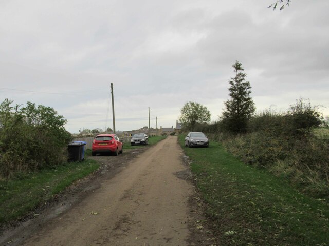
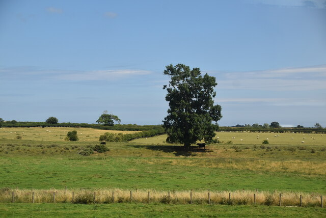
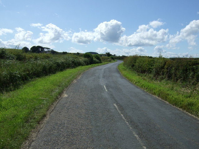
Bradley Moor Images
Images are sourced within 2km of 55.552855/-1.748704 or Grid Reference NU1528. Thanks to Geograph Open Source API. All images are credited.


Bradley Moor is located at Grid Ref: NU1528 (Lat: 55.552855, Lng: -1.748704)
Unitary Authority: Northumberland
Police Authority: Northumbria
What 3 Words
///blanked.warbler.handrail. Near Ellingham, Northumberland
Nearby Locations
Related Wikis

Newham railway station
Newham railway station was a railway station that served the hamlet of Newham Hall, Northumberland, England from 1851 to 1950 on the East Coast Main Line...

Lucker
Lucker is a village and former civil parish, now in the parish of Adderstone with Lucker, in the north of the county of Northumberland, England. It is...
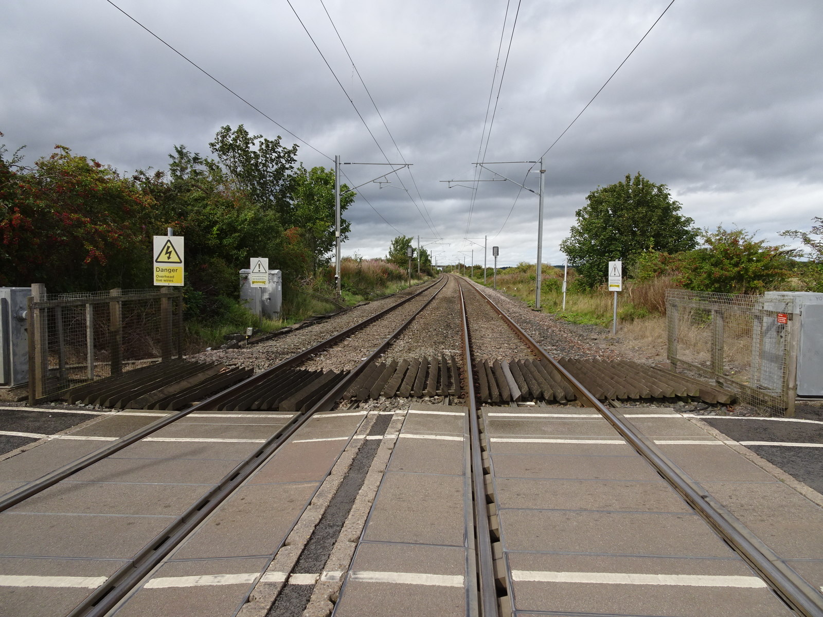
Lucker railway station
Lucker railway station served the village of Lucker, Northumberland, England, from 1847 to 1965 on the East Coast Main Line. == History == The station...
Adderstone Hall
Adderstone Hall (grid reference NU141303) is a privately owned Georgian Grecian mansion situated on the bank of the River Warn near Lucker, Northumberland...
Adderstone
Adderstone is a village and former civil parish, now in the parish of Adderstone with Lucker, in the county of Northumberland, England. In 1951 the parish...

Adderstone with Lucker
Adderstone with Lucker is a civil parish in Northumberland, England. The parish includes the villages of Adderstone, Lucker, Warenford, Rosebrough, Newstead...

Chathill railway station
Chathill is a railway station on the East Coast Main Line, which runs between London King's Cross and Edinburgh Waverley. The station, situated 46 miles...
Bradford Kames
Bradford Kames is the name given to a Site of Special Scientific Interest (SSSI) in north Northumberland, England. The site is an esker, a ridge of glacial...
Nearby Amenities
Located within 500m of 55.552855,-1.748704Have you been to Bradley Moor?
Leave your review of Bradley Moor below (or comments, questions and feedback).