The Lands
Downs, Moorland in Yorkshire
England
The Lands
The Lands, Yorkshire, encompass both the stunning Yorkshire Downs and the captivating Moorland. Situated in the northern part of England, this region offers a breathtaking landscape that attracts nature enthusiasts and outdoor adventurers alike.
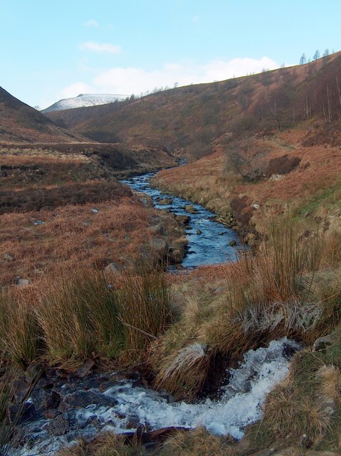
The Yorkshire Downs, characterized by rolling hills and vast open spaces, provide a picturesque setting. The lush green pastures and meadows are home to a diverse range of wildlife, including various bird species, hares, and deer. The Downs are also dotted with charming villages and historic landmarks, such as medieval castles and ancient burial sites, adding an element of intrigue to the area.
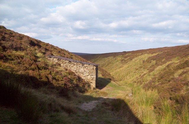
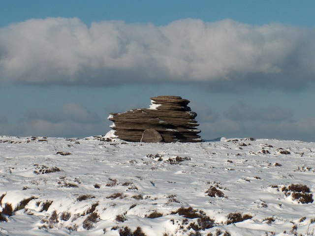
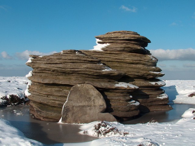
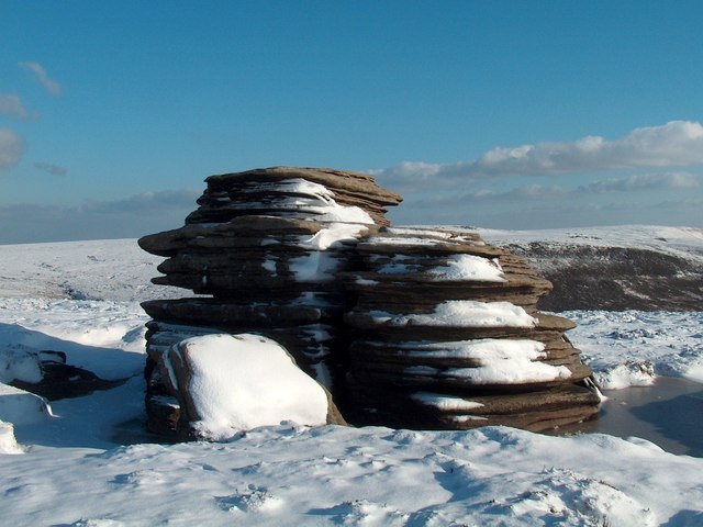
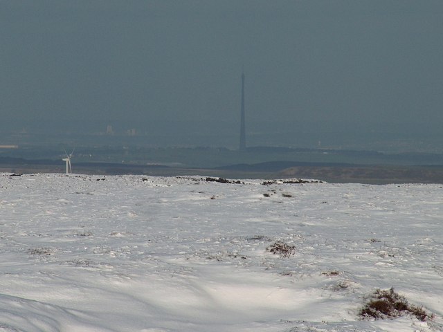
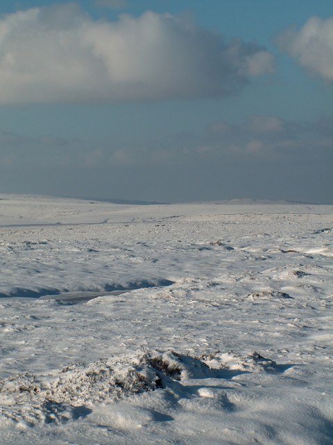
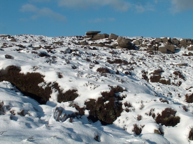
In contrast, the Moorland boasts a rugged and untamed beauty. Its heather-covered hills and expansive stretches of wild, open terrain create a unique and atmospheric landscape. The Moorland is known for its distinctive wildlife, including the iconic red grouse, as well as rare birds like the merlin and the golden plover. It is a place where visitors can experience a sense of tranquility and immerse themselves in the rawness of nature.
Both the Downs and the Moorland provide ample opportunities for outdoor activities such as hiking, cycling, and horseback riding. The region also offers various trails and paths that cater to different skill levels, allowing visitors to explore the area at their own pace.
Overall, The Lands, Yorkshire, with its combination of breathtaking Downs and captivating Moorland, offers a unique and diverse landscape, making it a must-visit destination for nature lovers and those seeking an escape from the hustle and bustle of everyday life.
If you have any feedback on the listing, please let us know in the comments section below.
The Lands Images
Images are sourced within 2km of 53.467831/-1.7679497 or Grid Reference SK1596. Thanks to Geograph Open Source API. All images are credited.


The Lands is located at Grid Ref: SK1596 (Lat: 53.467831, Lng: -1.7679497)
Division: West Riding
Unitary Authority: Sheffield
Police Authority: South Yorkshire
What 3 Words
///fastening.maps.mornings. Near Penistone, South Yorkshire
Nearby Locations
Related Wikis

Longdendale
Longdendale is a valley in the Peak District of England, north of Glossop and southwest of Holmfirth. The name means "long wooded valley" and the valley...

Margery Hill
Margery Hill is a 546-metre (1,791 ft) hill on the Howden Moors in South Yorkshire, England. It lies towards the northern boundary of the Peak District...

Howden Reservoir
The Howden Reservoir is a Y-shaped reservoir, the uppermost of the three in the Upper Derwent Valley, England. The western half of the reservoir lies in...

Howden Edge
Howden Edge (grid reference SK187943) is a peak in the north-east of the Upper Derwent Valley area of the Peak District National Park in England. At 545...

High Stones
High Stones, at 548 metres (1,798 ft), is the highest point within the boundaries of both the City of Sheffield and South Yorkshire, England.High Stones...

River Westend
The River Westend flows through the Dark Peak of the Derbyshire Peak District in England. Its source is at Bleaklow Stones on Bleaklow, from where it...
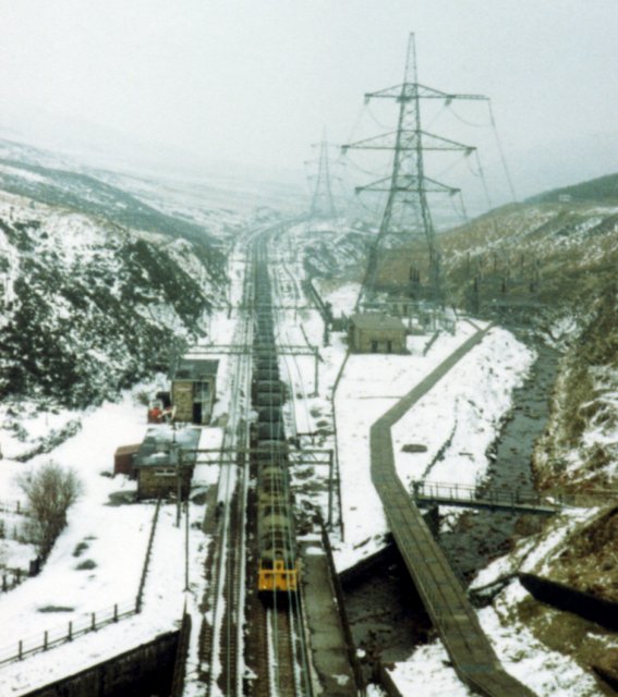
Woodhead railway station
Woodhead railway station was a railway station that served the hamlet of Woodhead on the Woodhead Line. == History == The station was opened on 8 April...

Alport Castles
The Alport Castles are a landslip feature in the Peak District National Park in Derbyshire. At over half a mile long, it is thought to be the largest landslide...
Nearby Amenities
Located within 500m of 53.467831,-1.7679497Have you been to The Lands?
Leave your review of The Lands below (or comments, questions and feedback).