Barbury Down
Downs, Moorland in Wiltshire
England
Barbury Down

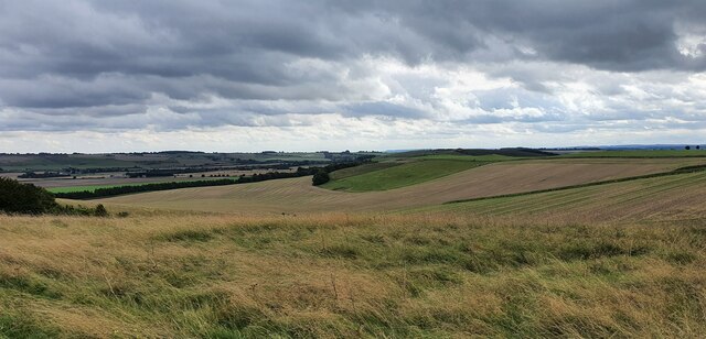
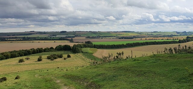
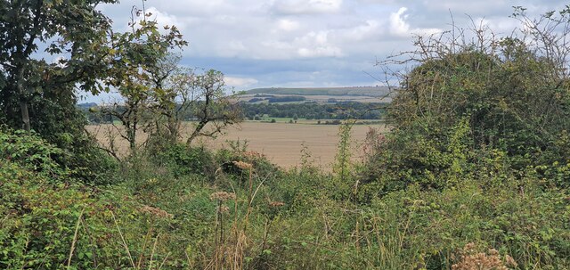
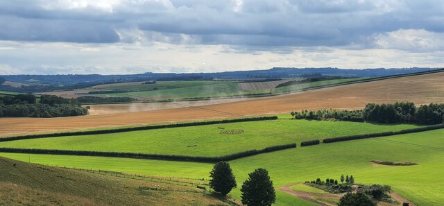
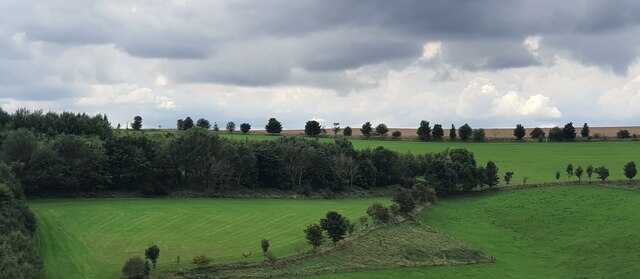
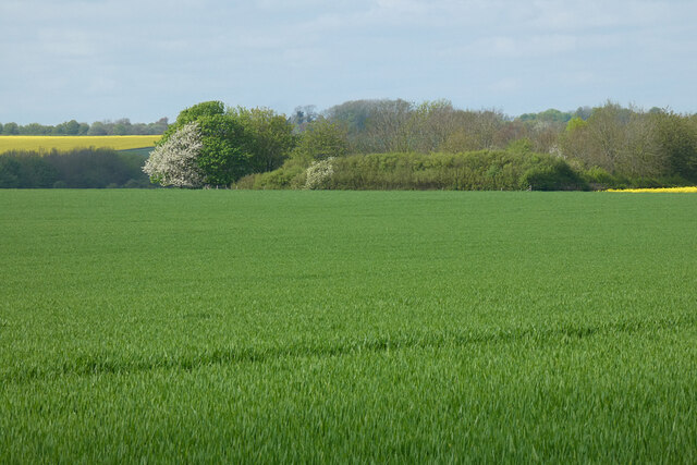
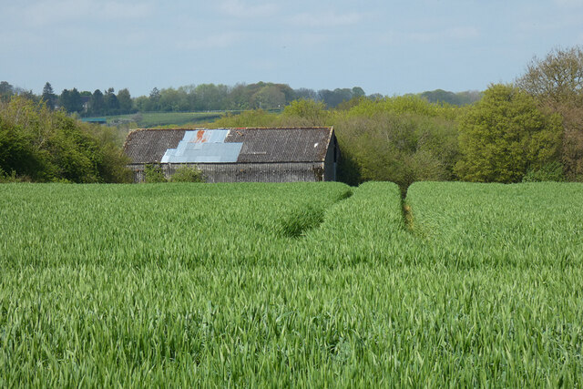
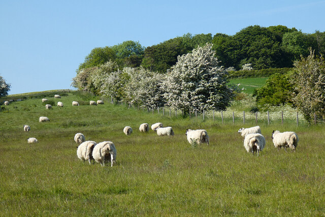
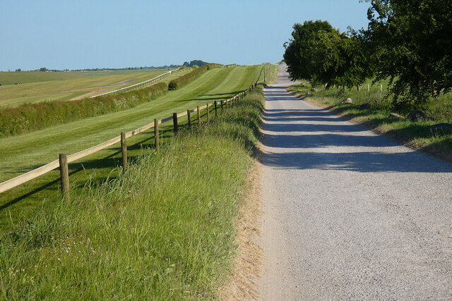
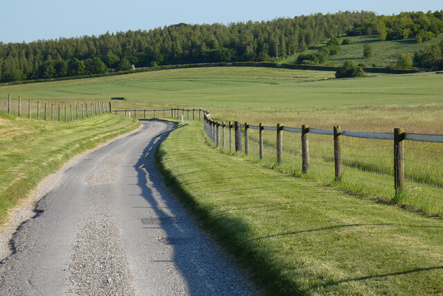
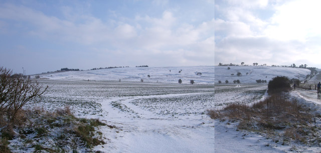
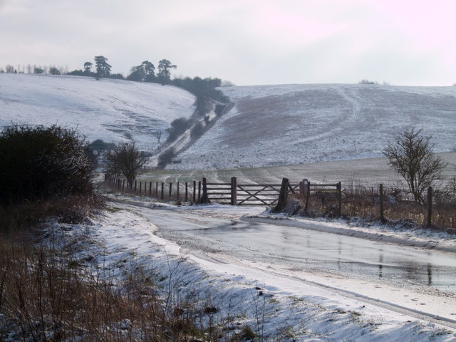
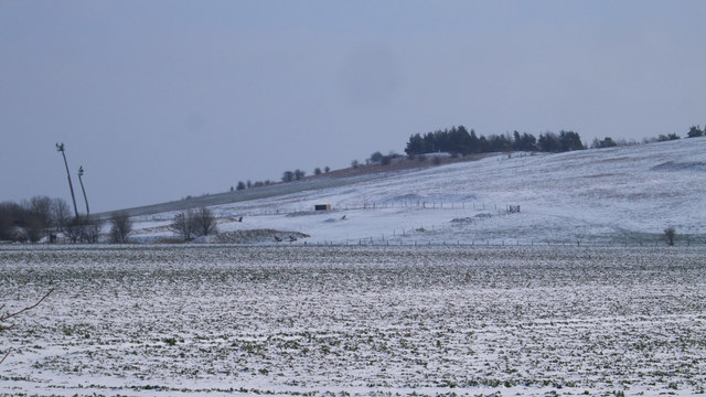
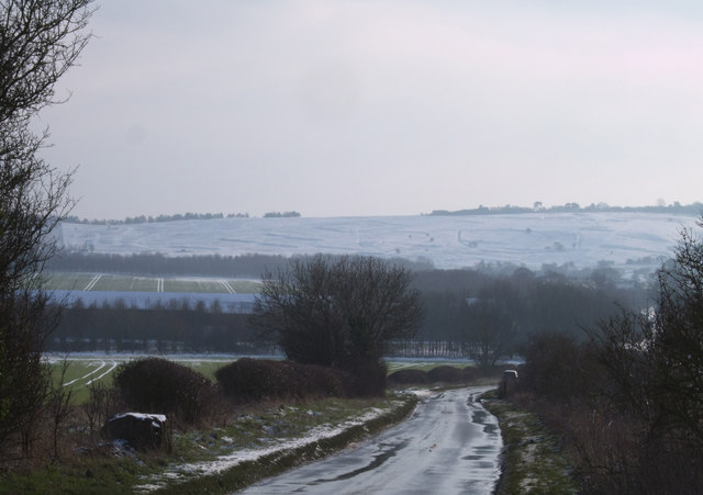
Barbury Down is a prominent chalk downland located in Wiltshire, England. Spanning approximately 400 hectares, it is situated within the North Wessex Downs Area of Outstanding Natural Beauty. The down is well-known for its stunning panoramic views of the surrounding countryside, making it a popular destination for outdoor enthusiasts and nature lovers.
The landscape of Barbury Down is characterized by gently rolling hills covered in short grasses and scattered patches of scrubland. It boasts a diverse range of flora and fauna, including the rare Adonis blue butterfly, wildflowers such as harebells and orchids, and a variety of bird species such as skylarks and meadow pipits.
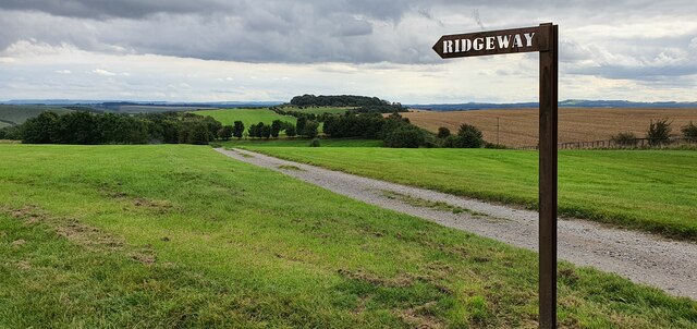
Historically, Barbury Down has been inhabited for thousands of years, with evidence of Iron Age hillforts and burial mounds. The area also played a significant role during the Roman occupation, as a major route known as the Ridgeway runs along the edge of the downs. Today, visitors can still see the remnants of these ancient earthworks and explore the rich cultural heritage of the area.
The down is a popular destination for walking, cycling, and horse riding, with numerous well-marked trails and bridleways crisscrossing the landscape. Additionally, the nearby Barbury Castle, an Iron Age hillfort, offers a fascinating glimpse into the region's past.
Overall, Barbury Down in Wiltshire is a picturesque and historically significant area, providing visitors with a tranquil and immersive experience in the heart of the North Wessex Downs.
If you have any feedback on the listing, please let us know in the comments section below.
Barbury Down Images
Images are sourced within 2km of 51.481981/-1.7786159 or Grid Reference SU1575. Thanks to Geograph Open Source API. All images are credited.


Barbury Down is located at Grid Ref: SU1575 (Lat: 51.481981, Lng: -1.7786159)
Unitary Authority: Wiltshire
Police Authority: Wiltshire
What 3 Words
///grain.suffice.sums. Near Wroughton, Wiltshire
Nearby Locations
Related Wikis

Barbury Castle
Barbury Castle is a scheduled hillfort in Wiltshire, England. It is one of several such forts found along the ancient Ridgeway route. The site, which lies...

Battle of Beran Byrig
At the Battle of Beran Byrig or Beranburh the West Saxons are said to have defeated the Britons at Barbury Castle Hill Fort near Swindon in the year 556...

RAF Wroughton
RAF Wroughton is a former Royal Air Force airfield near Wroughton, in Wiltshire, England, about 4 miles (6 km) south of Swindon. Ministry of Defence aviation...

Draycot Foliat
Draycot Foliat is a hamlet in the civil parish of Chiseldon, in the Swindon district, in the ceremonial county of Wiltshire, England, on the back road...
Ridgeway View
Ridgeway View is a hamlet 1 mile (1.6 km) south of the village of Chiseldon near Swindon, in the county of Wiltshire, England. During World War I, a large...

Clout's Wood
Clout's Wood (grid reference SU137796) is an 11.78 hectare biological Site of Special Scientific Interest in Wiltshire, notified in 1951. The site is managed...

National Collections Centre
The National Collections Centre, near Swindon, England, is the collections management facility for the Science Museum Group and the Science Museum Library...

Burderop Park
Burderop Park is a Grade II* listed country manor house near Chiseldon, Wiltshire, England. The house was constructed in the early 17th century to a courtyard...
Nearby Amenities
Located within 500m of 51.481981,-1.7786159Have you been to Barbury Down?
Leave your review of Barbury Down below (or comments, questions and feedback).