Court Lawn
Downs, Moorland in Yorkshire Richmondshire
England
Court Lawn

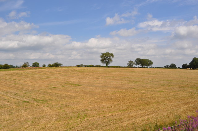
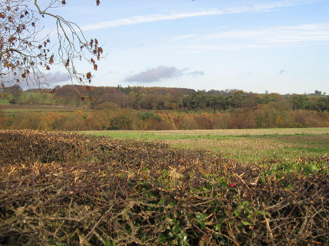
Court Lawn is a picturesque region located in the heart of Yorkshire, England. Situated amidst the serene landscapes of the Yorkshire Downs and Moorland, it offers visitors a breathtaking blend of natural beauty and historical charm. Spanning over a vast area, Court Lawn is renowned for its rolling hills, lush green meadows, and stunning panoramic views that captivate the senses.
The region is home to a diverse range of flora and fauna, with vibrant wildflowers adorning the meadows during the summer months. The Yorkshire Downs, with their sweeping vistas, provide ample opportunities for hiking, horse riding, and other outdoor activities. The moorland, on the other hand, boasts a rugged terrain, offering a unique experience for adventurous souls.
Court Lawn is also notable for its rich history and heritage. The area is dotted with ancient stone circles, burial mounds, and remnants of medieval castles, showcasing the region's fascinating past. History enthusiasts can explore these historical sites, unraveling the stories of the people who once inhabited this land.
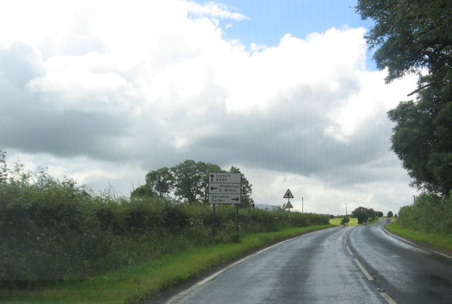
For those seeking tranquility and relaxation, Court Lawn offers several charming villages and market towns nearby. These quaint settlements feature traditional architecture, cozy pubs, and local shops, providing visitors with a taste of authentic Yorkshire life.
Whether it is the captivating landscapes, historical landmarks, or the peaceful ambiance, Court Lawn in Yorkshire is a destination that promises a memorable experience for nature lovers, adventure seekers, and history enthusiasts alike.
If you have any feedback on the listing, please let us know in the comments section below.
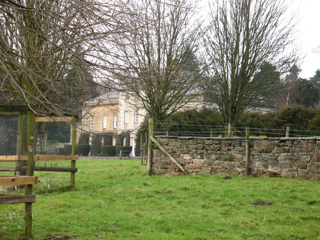
Court Lawn Images
Images are sourced within 2km of 54.317147/-1.7640783 or Grid Reference SE1591. Thanks to Geograph Open Source API. All images are credited.


Court Lawn is located at Grid Ref: SE1591 (Lat: 54.317147, Lng: -1.7640783)
Division: North Riding
Administrative County: North Yorkshire
District: Richmondshire
Police Authority: North Yorkshire
What 3 Words
///wishing.scoping.those. Near Leyburn, North Yorkshire
Nearby Locations
Related Wikis
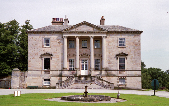
Constable Burton Hall
Constable Burton Hall is a Grade I-listed Georgian country house of dressed stone in an extensive and well wooded park in the village of Constable Burton...

Constable Burton
Constable Burton is a village and civil parish in North Yorkshire, England. It is 3 miles (4.8 km) east of Leyburn. == History == The village takes its...
Garriston
Garriston is a hamlet and civil parish north-east of Leyburn in North Yorkshire, England. In 2015, North Yorkshire County Council estimated the population...

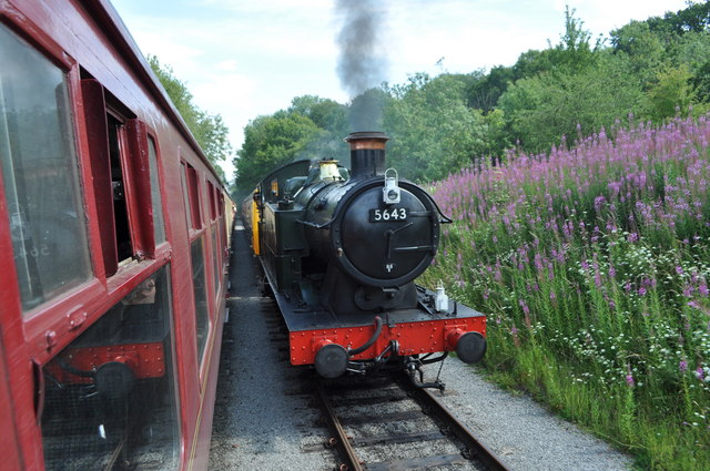
Spennithorne railway station
Spennithorne railway station was on the Wensleydale Railway, in North Yorkshire, England. The station was opened by the Bedale and Leyburn Railway on 19...

Constable Burton railway station
Constable Burton railway station is a disused railway station on the Wensleydale Railway, in North Yorkshire, England. It was built to serve Constable...
Hauxwell Hall
Hauxwell Hall or Hawkswell Hall is a grade II* listed 17th-century country house in West Hauxwell, North Yorkshire, England, some 5 miles (8 km) south...

Unthank, North Yorkshire
Unthank is a former village near Constable Burton in North Yorkshire, England. The village survived until some time in the 19th century. The site is currently...

Barden, Richmondshire
Barden is a hamlet and civil parish in North Yorkshire, England. It is about 5 miles (8 km) south of Richmond. According to the 2001 census the parish...
Related Videos
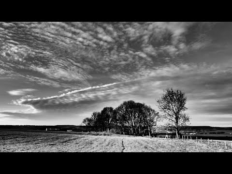
Constable Burton & Thornton Steward, North Yorkshire - 19 February 2023
A 9 mile walk from Constable Burton. The route heads south through Croft Wood and then on past Hutton Hang to Thornton ...
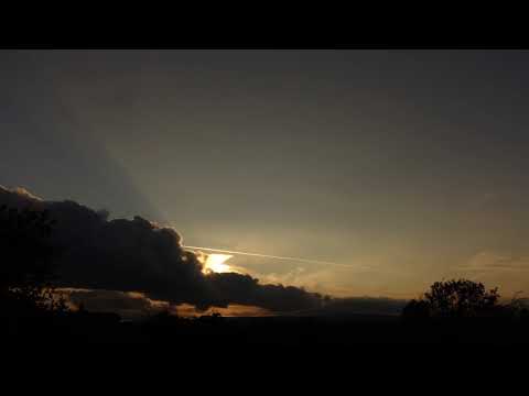
Sun Hill Lodges. Sunset Timelapse. Leyburn, N Yorks, UK
At Leyburn....not Wensleydale Lodge's outlook at Sun Hill Farm Sony RX100 Miii 3 second intervals #sonyrx100miii ...

East Riding Beverley & Motor club Rally - Morning run 2022
Every car from the morning stage at Burton Constable Stables. The first Tarmac closed rally in Yorkshire, Coom Hill.
Nearby Amenities
Located within 500m of 54.317147,-1.7640783Have you been to Court Lawn?
Leave your review of Court Lawn below (or comments, questions and feedback).