Birchinlee Pasture
Downs, Moorland in Derbyshire High Peak
England
Birchinlee Pasture
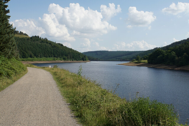
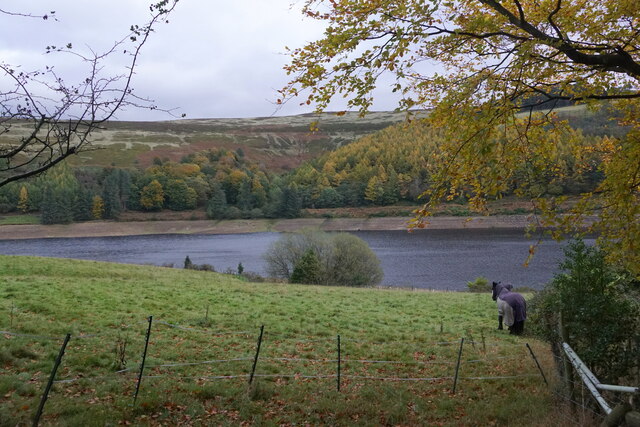
Birchinlee Pasture, located in Derbyshire, England, is a picturesque landscape that showcases the natural beauty of the region's downs and moorland. Stretching over a vast area, this pasture is a paradise for nature lovers and outdoor enthusiasts.
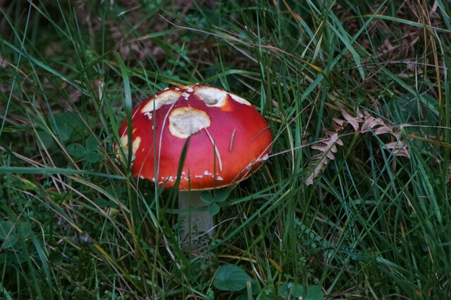
The downs of Birchinlee Pasture are characterized by their gently rolling hills and open grasslands. The grasses that cover these downs provide a lush and vibrant carpet of green, especially during the spring and summer months. The downs are home to various species of wildflowers, creating a vibrant tapestry of colors. Visitors can spot a diverse range of wildlife in this area, including rabbits, hares, and various bird species.
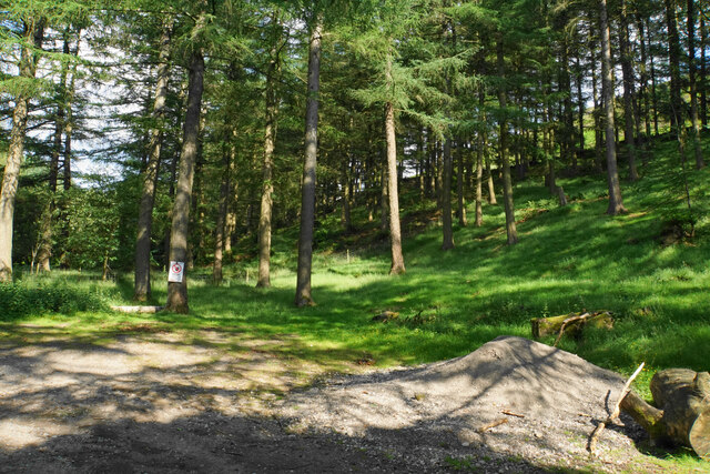
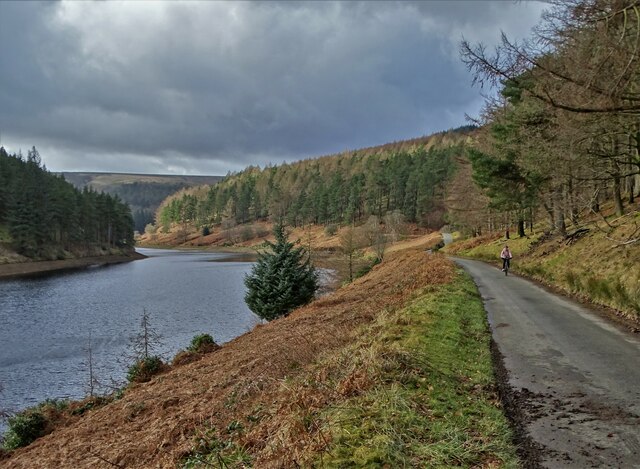
Moving towards the moorland section of Birchinlee Pasture, the landscape transforms into a more rugged and dramatic terrain. The moorland is dominated by heather and gorse, which creates a stunning contrast against the deep greens of the surrounding hills. The moorland is often dotted with rocky outcrops, adding to the area's natural beauty.
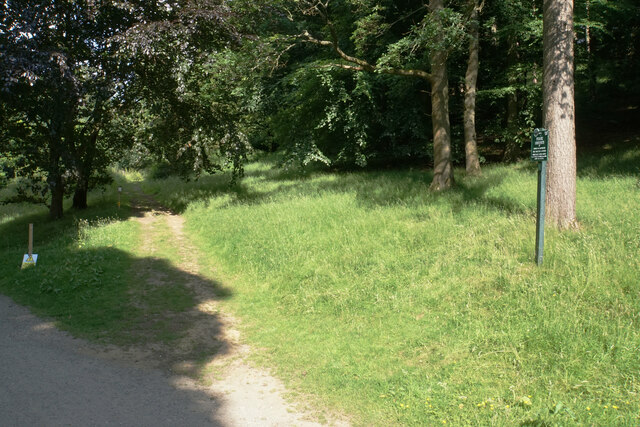
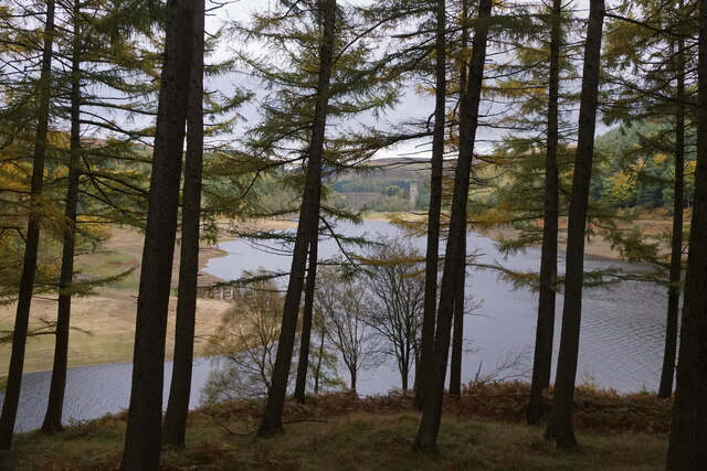
Birchinlee Pasture offers visitors numerous walking and hiking trails, allowing them to explore and immerse themselves in the stunning surroundings. The views from the higher points of the pasture are breathtaking, offering panoramic vistas of the Derbyshire countryside.
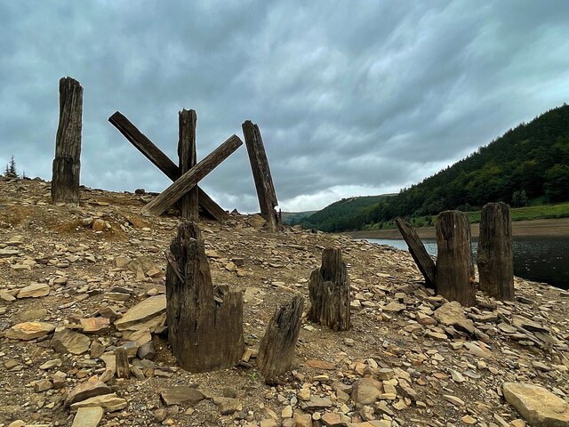
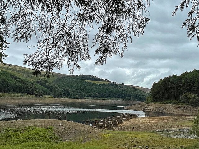
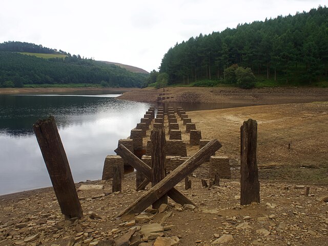
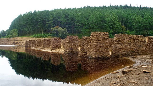
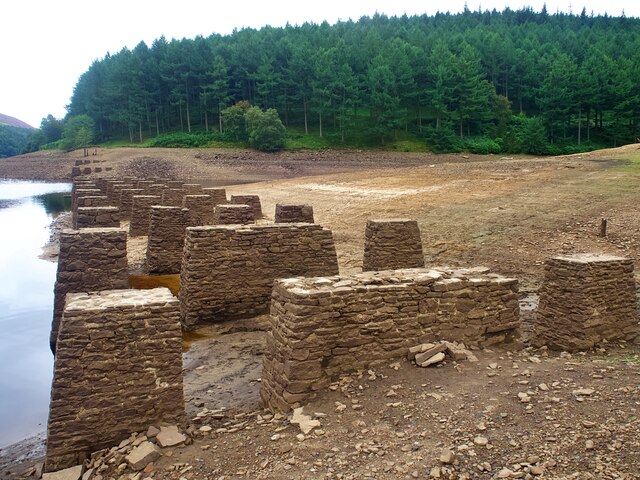
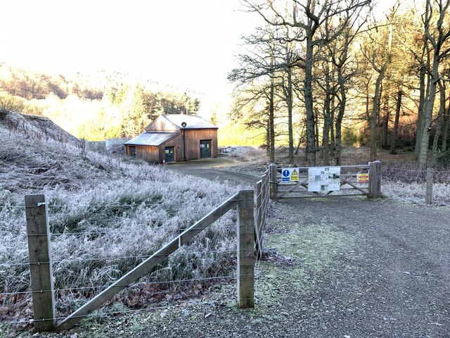
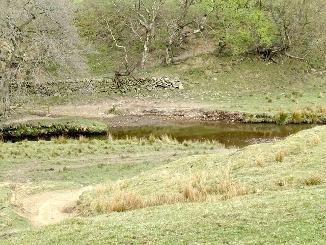
This area is also rich in history, with remnants of old stone walls and abandoned farmsteads scattered throughout. These remnants provide a glimpse into the region's agricultural past and add an extra layer of intrigue to the landscape.
Overall, Birchinlee Pasture is a haven for those seeking tranquility and natural beauty. With its downs, moorland, and captivating views, it offers a truly memorable experience for anyone venturing into its picturesque surroundings.
If you have any feedback on the listing, please let us know in the comments section below.
Birchinlee Pasture Images
Images are sourced within 2km of 53.423135/-1.7699084 or Grid Reference SK1591. Thanks to Geograph Open Source API. All images are credited.


Birchinlee Pasture is located at Grid Ref: SK1591 (Lat: 53.423135, Lng: -1.7699084)
Administrative County: Derbyshire
District: High Peak
Police Authority: Derbyshire
What 3 Words
///tree.newlywed.verve. Near High Peak, Derbyshire
Nearby Locations
Related Wikis

Alport Castles
The Alport Castles are a landslip feature in the Peak District National Park in Derbyshire. At over half a mile long, it is thought to be the largest landslide...

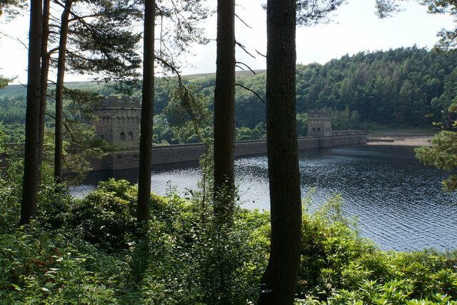
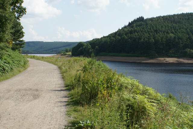
Howden Reservoir
The Howden Reservoir is a Y-shaped reservoir, the uppermost of the three in the Upper Derwent Valley, England. The western half of the reservoir lies in...

River Westend
The River Westend flows through the Dark Peak of the Derbyshire Peak District in England. Its source is at Bleaklow Stones on Bleaklow, from where it...

Derwent Reservoir (Derbyshire)
Derwent Reservoir is the middle of three reservoirs in the Upper Derwent Valley in the north of Derbyshire, England. It lies approximately 10 mi (16 km...

River Alport
The River Alport flows for 5.6 miles (9 km) in the Dark Peak of the Peak District in Derbyshire, England. Its source is on Bleaklow, 3 miles (4.8 km)...

Hope Woodlands
Hope Woodlands is an extensive civil parish in the High Peak district of Derbyshire in England. The parish covers the Woodlands Valley, the western Upper...

Dark Peak
The Dark Peak is the higher and wilder part of the Peak District in England, mostly forming the northern section but also extending south into its eastern...

Lost Lad
Lost Lad is a hill, 518 metres (1,699 ft) high on the Derwent Edge in the Peak District in the county of Derbyshire in England. It is a subpeak of Back...
Nearby Amenities
Located within 500m of 53.423135,-1.7699084Have you been to Birchinlee Pasture?
Leave your review of Birchinlee Pasture below (or comments, questions and feedback).