Balbeggie
Settlement in Perthshire
Scotland
Balbeggie

Balbeggie is a small village located in the county of Perthshire, Scotland. Situated approximately 8 miles northeast of the city of Perth, it lies on the banks of the River Tay. With a population of around 700 residents, Balbeggie is a close-knit community that offers a peaceful and picturesque setting.
The village is surrounded by beautiful countryside, making it an ideal location for nature enthusiasts and outdoor activities. The nearby Kinnoull Hill and Moncreiffe Hill provide stunning views of the surrounding area and offer various walking trails for visitors to explore.
Balbeggie has a rich history, with evidence of human settlement in the area dating back to prehistoric times. The village has a number of historical landmarks, including the Balbeggie Stone Circle, which is believed to be around 4,000 years old. The stone circle is a popular attraction for those interested in ancient history and archaeology.
In terms of amenities, Balbeggie has a primary school, a village hall, and a local shop, providing basic services for its residents. For more extensive shopping and entertainment options, the city of Perth is easily accessible by car or public transportation.
Overall, Balbeggie offers a peaceful and scenic environment, making it an attractive place to live for those seeking a quiet rural lifestyle while still having access to urban conveniences.
If you have any feedback on the listing, please let us know in the comments section below.
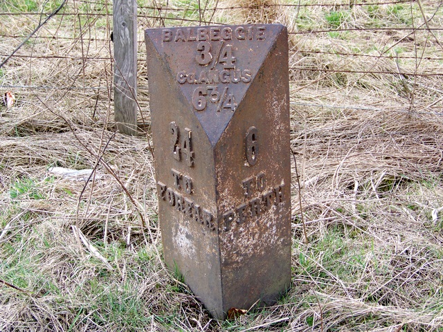
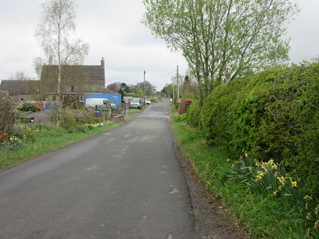
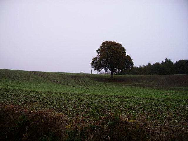
Balbeggie Images
Images are sourced within 2km of 56.449385/-3.348444 or Grid Reference NO1629. Thanks to Geograph Open Source API. All images are credited.


Balbeggie is located at Grid Ref: NO1629 (Lat: 56.449385, Lng: -3.348444)
Unitary Authority: Perth and Kinross
Police Authority: Tayside
What 3 Words
///unloading.clutches.react. Near Scone, Perth & Kinross
Nearby Locations
Related Wikis

Balbeggie
Balbeggie () is a village in Perth and Kinross, Scotland about 7 miles (11 kilometres) northeast of Perth on the A94 road. == References ==

Perth Airport (Scotland)
Perth Airport (IATA: PSL, ICAO: EGPT) (Scottish Gaelic: Port-adhair Pheairt) is a general-aviation airport located at New Scone, 3 nautical miles (5.6...
St Martins, Perth and Kinross
St Martins is a parish in Perth and Kinross, Scotland, just north of the Sidlaws range of hills, about 4.3 miles (6.9 km) north-northeast of Perth and...

Witches' Stone
Witches' Stone is an historic stone in the Scottish parish of St Martins, Perth and Kinross. It marks the location where Macbeth meets with two witches...

Kinrossie
Kinrossie is a linear village in the Perth and Kinross area of Scotland. It is less than a mile south off the A94 road, 8 miles (13 kilometres) from Perth...
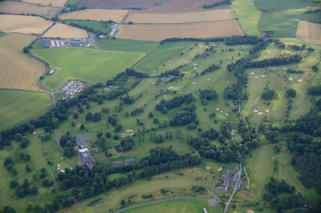
Murrayshall Country Estate & Golf Club
Murrayshall Country Estate & Golf Club, in Scone, Perth and Kinross, Scotland, features two 20th-century golf courses surrounding a 17th-century house...
Raid on Scone
After the action at Lanark, William Wallace joined forces with William Douglas the Hardy and led a raid on the city of Scone. He and his men forced William...

Wolfhill
Wolfhill is a village in Perthshire, Scotland, with a population of 316 (2001 census). Formerly known as Carolina, it was given the nickname of "Snipetown...
Nearby Amenities
Located within 500m of 56.449385,-3.348444Have you been to Balbeggie?
Leave your review of Balbeggie below (or comments, questions and feedback).