Hartwell

Settlement in Staffordshire Stafford

England

Hartwell

Water Tower at Meir Heath
Water Tower at Meir Heath Credit: Linda Mellor

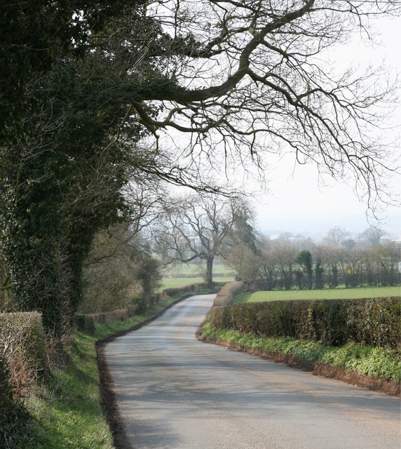
Hartwell is a small village located in the county of Staffordshire, England. Situated approximately 5 miles north of Stafford, the village is nestled in the picturesque countryside, surrounded by rolling hills and charming rural landscapes.

With a population of around 1,000 residents, Hartwell has a close-knit community that values its rich history and natural beauty. The village dates back centuries and still retains its old-world charm, with several historic buildings and landmarks dotting its streets. One notable example is the Grade II listed St. Giles Church, a beautiful medieval structure that serves as a focal point for the community.

Despite its small size, Hartwell offers a range of amenities to its residents. The village has a primary school, providing education to local children, and a village hall that hosts various community events and gatherings. Additionally, there are a few local shops and amenities that cater to the everyday needs of the residents.

For those seeking outdoor activities, Hartwell boasts ample opportunities. The countryside surrounding the village offers scenic walking and cycling routes, providing a perfect escape from the hustle and bustle of city life. The nearby Cannock Chase, an Area of Outstanding Natural Beauty, is a popular destination for nature lovers and offers diverse wildlife, trails, and recreational activities.

Overall, Hartwell, Staffordshire, is a charming village that embodies the beauty of rural England. Its rich history, community spirit, and idyllic countryside make it an attractive place to live for those seeking a peaceful and picturesque lifestyle.

If you have any feedback on the listing, please let us know in the comments section below.
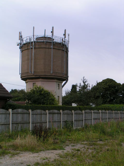
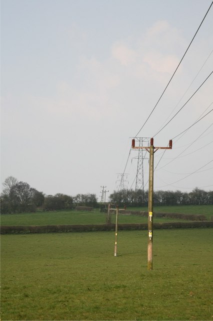
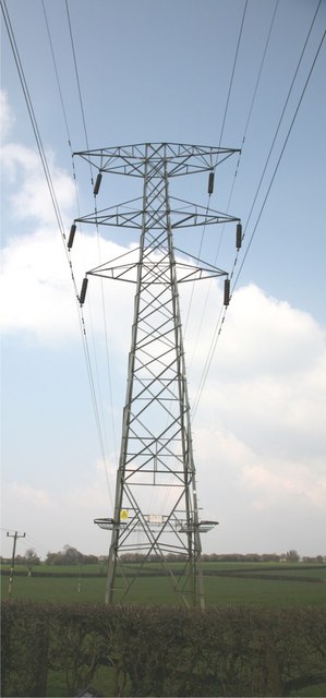
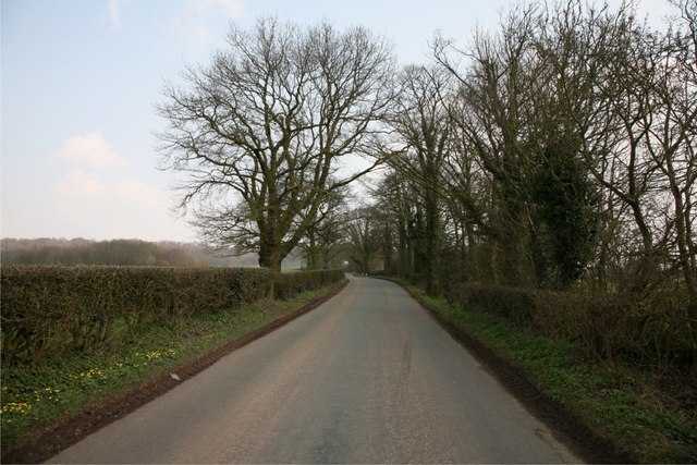
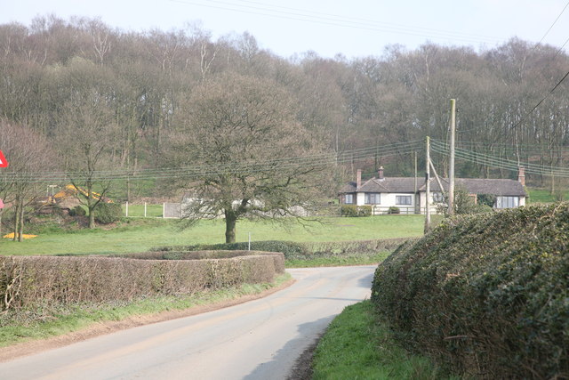
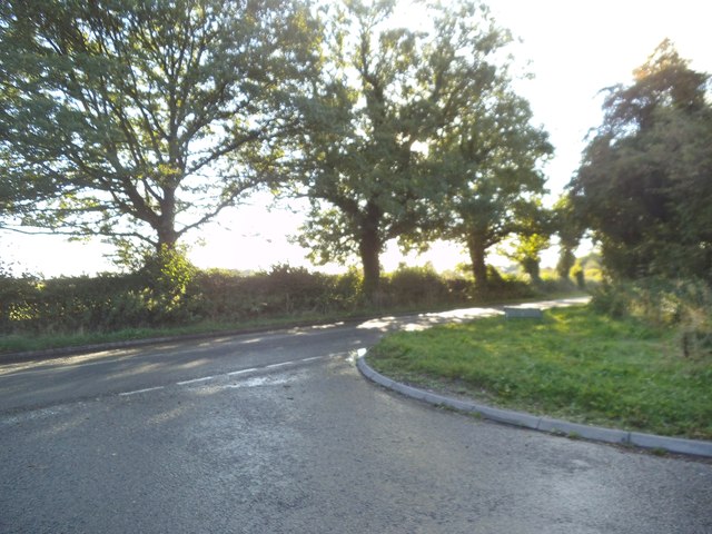
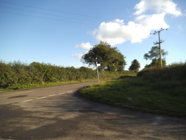
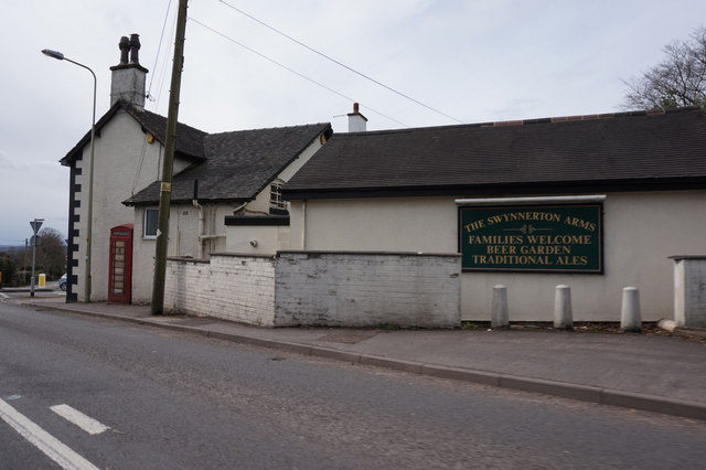
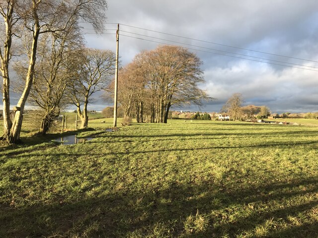
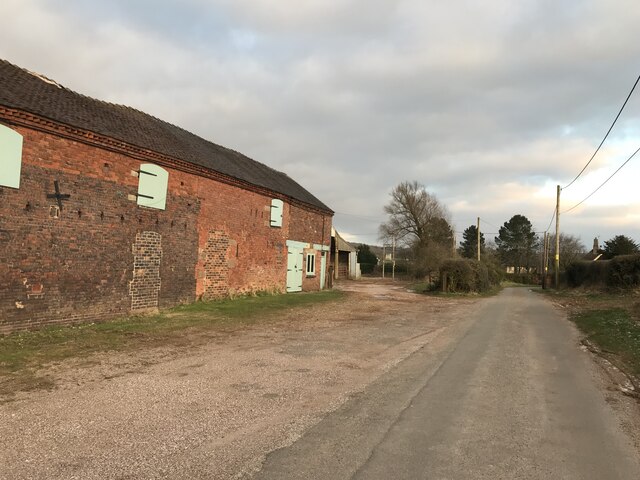
Hartwell Images

Images are sourced within 2km of 52.94739/-2.133167 or Grid Reference SJ9138. Thanks to Geograph Open Source API. All images are credited.

Water Tower at Meir Heath
Electricity Pylons These pylons head towards Cocknage Farm.
Electricity Pylons
These pylons head towards Cocknage Farm.
Pylon Pylon in fields adjacent to South Cocknage Farm.
Pylon
Pylon in fields adjacent to South Cocknage Farm.
Barlaston Road
Barlaston Road
Barlaston Road
Barlaston Road
Woodland This woodland runs parallel with the Cocknage Road.
Woodland
This woodland runs parallel with the Cocknage Road.
Cocknage Road A view down the Cocknage Road with woodland to the west.
Cocknage Road
A view down the Cocknage Road with woodland to the west.
Blurton Road Junction The view of the junction with Station Road near Barlastion.
Blurton Road Junction
The view of the junction with Station Road near Barlastion.
Longton Road Junction The view of the junction with Blurton Road near Barlastion.
Longton Road Junction
The view of the junction with Blurton Road near Barlastion.
Swynnerton Arms, Rough Close
Entrance to Barlaston & Rough Close Common
Rough Close, Swynnerton Arms Roadside public house at the corner of Lightwood Road and Windmill Hill. Entrance from rear; central counter, with drinking & eating areas left, and dining right. Background music, games machine, patio. Cask ales on offer at my visit: Bass, Greene King Abbot, Sharp's Doom Bar.
Rough Close, Swynnerton Arms
Roadside public house at the corner of Lightwood Road and Windmill Hill. Entrance from rear; central counter, with drinking & eating areas left, and dining right. Background music, games machine, patio. Cask ales on offer at my visit: Bass, Greene King Abbot, Sharp's Doom Bar.
Old Milepost by the A520, Longton Road, Rough Close, Stone Rural Parish Cast iron post by the A520, in parish of STONE RURAL (STAFFORD District), Rough Close, on grass, on East side of road. Lathe iron casting, erected by the County Council in the 19th/20th century. 

Inscription reads:-
: STONE 4 / STAFFORD 11 : : ROUGH CLOSE : : LONGTON 3 :
Maker:-
: Chas. Lathe, Tipton. : 

Milestone Society National ID: ST_STLT11.
Old Milepost by the A520, Longton Road, Rough Close, Stone Rural Parish
Cast iron post by the A520, in parish of STONE RURAL (STAFFORD District), Rough Close, on grass, on East side of road. Lathe iron casting, erected by the County Council in the 19th/20th century. Inscription reads:- : STONE 4 / STAFFORD 11 : : ROUGH CLOSE : : LONGTON 3 : Maker:- : Chas. Lathe, Tipton. : Milestone Society National ID: ST_STLT11.
Fields and Coppices near Leadendale
Leadendale Looking towards Rough Close from the southern edge of the square.
Leadendale
Looking towards Rough Close from the southern edge of the square.
Farm Buildings at Big Cullamore Farm and bridleway near Knenhall.
Farm Buildings at Big Cullamore
Farm and bridleway near Knenhall.
Frozen and Rutted Track near Knenhall The trampling of livestock combined with frozen ground have turned this bridleway into an ankle-twister.
Frozen and Rutted Track near Knenhall
The trampling of livestock combined with frozen ground have turned this bridleway into an ankle-twister.
Show me another place!

Hartwell is located at Grid Ref: SJ9138 (Lat: 52.94739, Lng: -2.133167)

Administrative County: Staffordshire

District: Stafford

Police Authority: Staffordshire

What 3 Words

///bake.list.pink. Near Barlaston, Staffordshire

Nearby Locations

Hartwell

Related Wikis

Barlaston and Rough Close Common

Barlaston and Rough Close Common is a local nature reserve, an area of heathland in Staffordshire, England, near Barlaston and about 3 miles (4.8 km) north...

Barlaston

Barlaston is a village and civil parish in the borough of Stafford in the county of Staffordshire, England. It is roughly halfway between the city of...
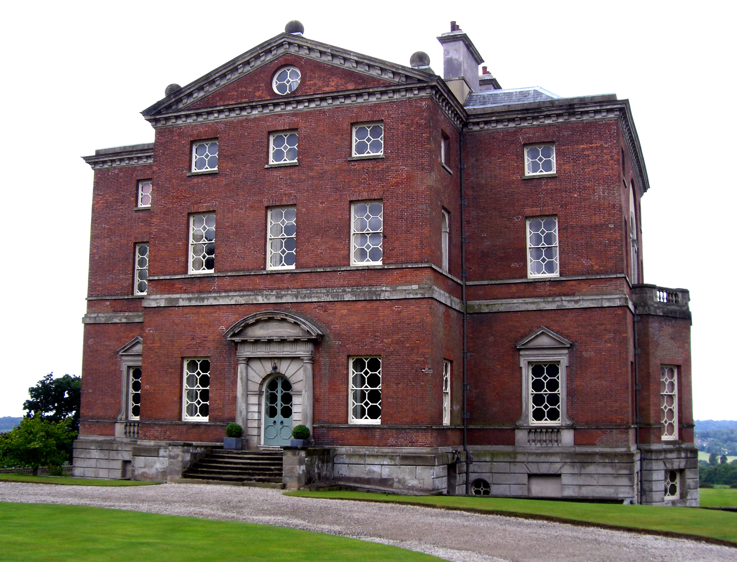
Barlaston Hall

Barlaston Hall is an English Palladian country house in the village of Barlaston in Staffordshire, on a ridge overlooking the valley of the River Trent...

Meir Heath

Meir Heath is a village just to the south of Stoke-on-Trent, Staffordshire situated on a hilltop between Meir and Rough Close, 2+1⁄2 miles from Barlaston...

Downs Banks

Downs Bank, also known as Barlaston Downs, is an area of open countryside, located two miles (3 km) north of the town of Stone in Staffordshire, and four...

Meir K.A. F.C.

Meir King's Arms Football Club was an association football club based in Stoke-on-Trent, England, established in 1972. Originally formed as the Sunday...

Wedgwood Memorial College

Wedgwood Memorial College was a small residential college in Barlaston, near Stoke-on-Trent in Staffordshire, England. The college was owned and operated...

Meir Heath Cricket Club

Meir Heath Cricket Club is a cricket club and ground in Meir Heath, Staffordshire. The first recorded match on the ground was in 1991, when Staffordshire...

Related Videos

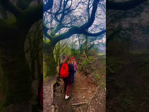
hppjohnson going on holiday

changing gas Spanish gas cheeper and change pipe.

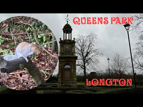
Queens Park Longton Stoke on Trent A cold Decembers walk

Join us on this walk through Queens Park in Longton Stoke-on-Trent it's a cold December day and the last Christmas bank holiday ...

Nearby Amenities

Located within 500m of 52.94739,-2.133167
Power: tower
Lat/Long: 52.9497208/-2.1290192
Power: tower
Lat/Long: 52.9472514/-2.1275118
Power: tower
Lat/Long: 52.9506468/-2.1322748
Power: pole
Lat/Long: 52.9457614/-2.1301567
Power: pole
Lat/Long: 52.9451567/-2.1300011
Power: pole
Lat/Long: 52.9447625/-2.129352
Power: pole
Lat/Long: 52.9483537/-2.1296041
Man Made: tower
Tower Type: lighting
Lat/Long: 52.9470953/-2.1319298
Man Made: tower
Tower Type: lighting
Lat/Long: 52.9465199/-2.1315235
Man Made: tower
Tower Type: lighting
Lat/Long: 52.9468393/-2.1329409
Man Made: tower
Tower Type: lighting
Lat/Long: 52.9462497/-2.1325252
Man Made: tower
Tower Type: lighting
Lat/Long: 52.946541/-2.1306909
Man Made: tower
Tower Type: lighting
Lat/Long: 52.9463551/-2.1306158
Man Made: tower
Tower Type: lighting
Lat/Long: 52.9461741/-2.1305461
Man Made: tower
Tower Type: lighting
Lat/Long: 52.9459996/-2.1304683
Communication Mobile Phone: yes
Man Made: mast
Tower Type: communication
Lat/Long: 52.9456724/-2.1321701
Man Made: utility_pole
Lat/Long: 52.9455598/-2.131723
Power: pole
Lat/Long: 52.9483985/-2.1289479
Power: pole
Lat/Long: 52.9487007/-2.1300155
Power: pole
Lat/Long: 52.9493282/-2.1309542
Power: pole
Lat/Long: 52.9495955/-2.1313651
Power: pole
Lat/Long: 52.9500162/-2.1315893
Power: pole
Lat/Long: 52.9490619/-2.1305557
Power: pole
Lat/Long: 52.9512289/-2.1294438
Power: pole
Lat/Long: 52.9502231/-2.129262
Power: pole
Lat/Long: 52.9496647/-2.1395545
Power: pole
Lat/Long: 52.9489837/-2.1388027
Power: pole
Lat/Long: 52.9481565/-2.1386252
Power: pole
Lat/Long: 52.9480946/-2.1395685
Power: pole
Lat/Long: 52.9478948/-2.1388447
Power: pole
Lat/Long: 52.9477316/-2.138289
Power: pole
Lat/Long: 52.9475008/-2.1375464
Power: pole
Lat/Long: 52.9472785/-2.1369767
Power: pole
Lat/Long: 52.9474445/-2.1362295
Power: pole
Lat/Long: 52.9476106/-2.1353655
Power: pole
Lat/Long: 52.9477513/-2.1346324
The data included in this document is from www.openstreetmap.org. The data is made available under ODbL.

Have you been to Hartwell?

Leave your review of Hartwell below (or comments, questions and feedback).