Braithwaite Moor
Downs, Moorland in Yorkshire Harrogate
England
Braithwaite Moor

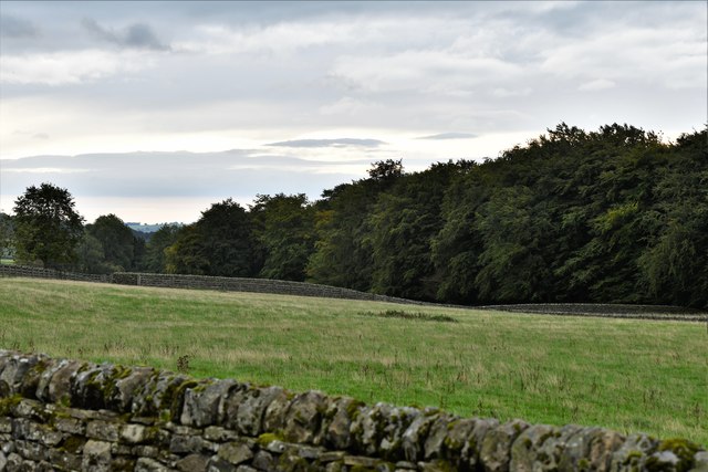
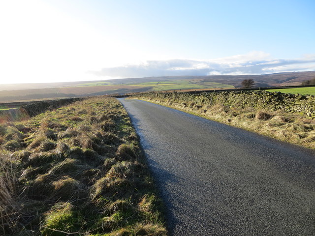
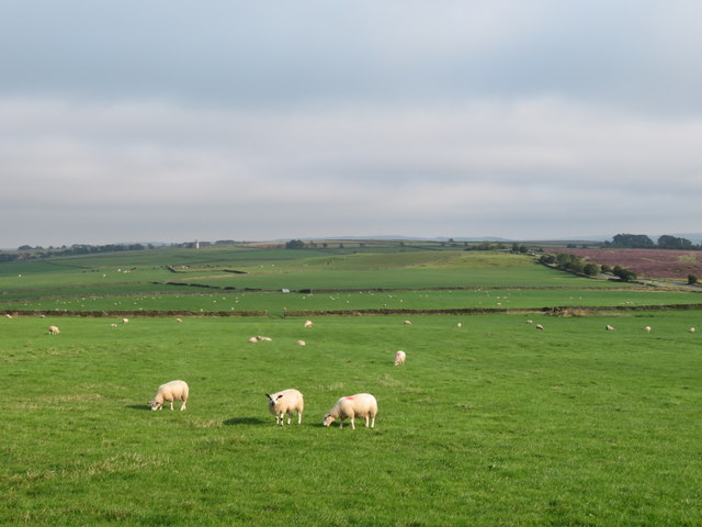
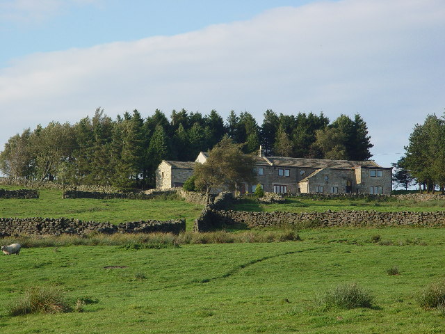
Braithwaite Moor is a captivating expanse of moorland located in the Yorkshire Downs, England. Spanning an area of approximately 10 square kilometers, it is situated in the northern part of the county, near the village of Braithwaite. The moorland is characterized by its undulating terrain, covered in a mix of heather, grasses, and scattered patches of bracken.
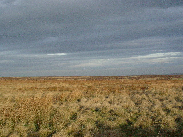
The landscape of Braithwaite Moor showcases the unique beauty of the Yorkshire Downs. The moorland is dotted with numerous small streams and peat bogs, which add to its wild and rugged allure. The peat bogs are not only visually striking but also play a crucial role in maintaining the moor's delicate ecological balance.
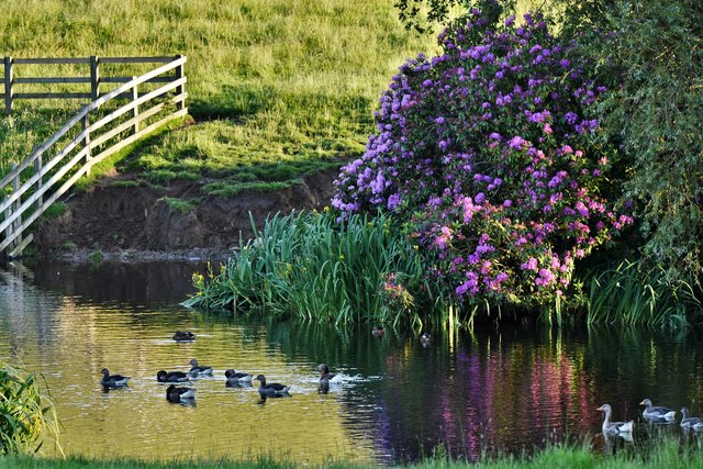
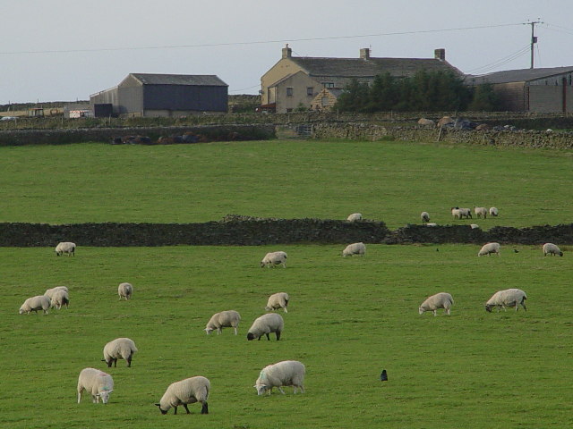
The moorland is home to a variety of wildlife species, including curlews, lapwings, and snipes, which find refuge in its diverse habitats. Birdwatchers are often drawn to the area to observe the resident and migratory avian species that frequent the moor.
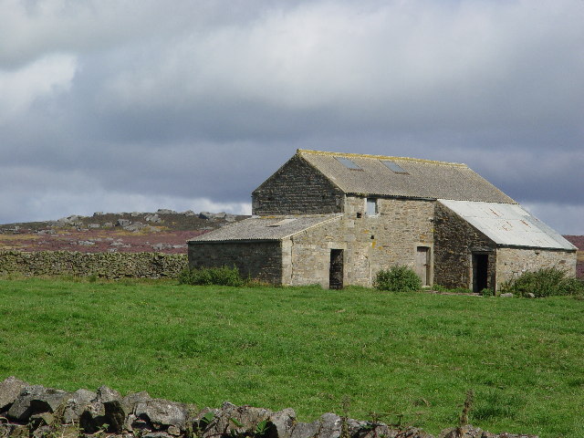
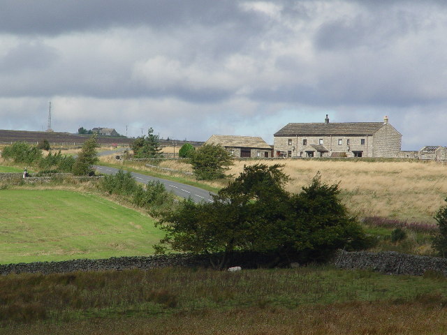
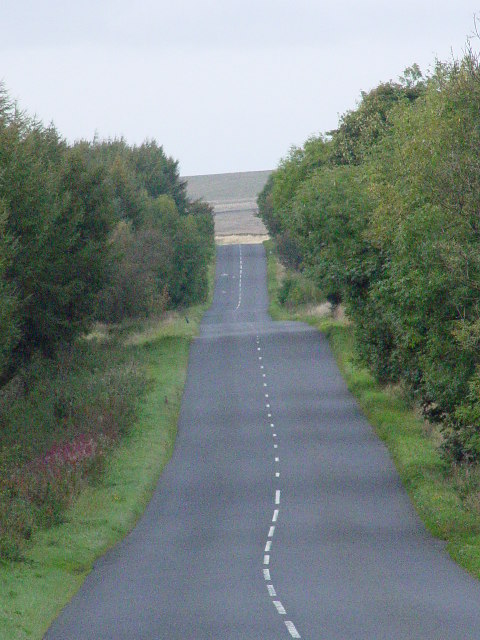
Braithwaite Moor is also a popular destination for hikers and nature enthusiasts. It offers a network of walking trails that allow visitors to explore its vast expanse and soak in the breathtaking views of the surrounding countryside. The moorland's remote location and serene atmosphere make it an ideal place for those seeking solitude and a connection with nature.
In summary, Braithwaite Moor is a captivating expanse of moorland nestled in the Yorkshire Downs. With its diverse flora and fauna, unique peat bogs, and stunning landscapes, it offers a haven for wildlife and a tranquil retreat for visitors.
If you have any feedback on the listing, please let us know in the comments section below.
Braithwaite Moor Images
Images are sourced within 2km of 54.049633/-1.7813108 or Grid Reference SE1461. Thanks to Geograph Open Source API. All images are credited.


![Mystery stone in a field A single stone around 1.5m high in the middle of a pasture close by the junction of Fall Lane and Sandy Gate Road. It isn't a boundary stone, but examination of 19thC maps shows an extra field boundary here [now gone] and I assume that this was once a gatepost. The view is towards the wooded flanks of the Washburn valley above Thruscross Reservoir.](https://s3.geograph.org.uk/geophotos/06/56/95/6569579_8fd9dbb3.jpg)


Braithwaite Moor is located at Grid Ref: SE1461 (Lat: 54.049633, Lng: -1.7813108)
Division: West Riding
Administrative County: North Yorkshire
District: Harrogate
Police Authority: North Yorkshire
What 3 Words
///baths.grills.organic. Near Pateley Bridge, North Yorkshire
Nearby Locations
Related Wikis

Thruscross
Thruscross is a small settlement and civil parish in the Harrogate district of North Yorkshire, England. It lies in the Washburn Valley, 11 miles (18...

Bewerley
Bewerley is a village and civil parish in the Harrogate district of North Yorkshire, England, about twelve miles west of Ripon. The parish includes the...

Thruscross Reservoir
Thruscross Reservoir is the northernmost of four reservoirs in the Washburn valley, lying north of Otley and west of Harrogate in North Yorkshire, England...

Thornthwaite, North Yorkshire
Thornthwaite is a small village in the Harrogate district of North Yorkshire, England. It lies in the valley of Padside Beck, a side valley on the south...
Greenhow
Greenhow is a village in North Yorkshire, England, often referred to as Greenhow Hill. The term how derives from the Old Norse word haugr meaning a hill...

Pateley Bridge
Pateley Bridge (known locally as Pateley) is a market town in Nidderdale in the county and district of North Yorkshire, England. Historically part of the...

Pateley Bridge railway station
Pateley Bridge railway station is a disused railway station in North Yorkshire, England. The station was the terminating station on the North Eastern Railway...

Pateley Playhouse
The Pateley Playhouse is a small amateur-run theatre in the town of Pateley Bridge in Nidderdale, North Yorkshire, England. The building was initially...
Nearby Amenities
Located within 500m of 54.049633,-1.7813108Have you been to Braithwaite Moor?
Leave your review of Braithwaite Moor below (or comments, questions and feedback).