Barden Fell
Downs, Moorland in Yorkshire Richmondshire
England
Barden Fell

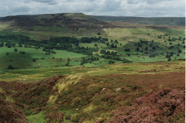
Barden Fell is a picturesque expanse of rugged moorland located in the Yorkshire Dales, England. Situated in the county of Yorkshire, it forms part of the larger Nidderdale Area of Outstanding Natural Beauty. With its rolling hills, dramatic cliffs, and heather-covered slopes, Barden Fell offers visitors a stunning display of natural beauty.
Covering an area of approximately 5 square miles, Barden Fell is characterized by its undulating terrain, reaching elevations of up to 1,200 feet. The moorland is predominantly composed of heather, creating a vibrant purple carpet during the summer months. This unique habitat supports a diverse range of wildlife, including red grouse, curlews, and the occasional merlin.
The fell is crisscrossed by a network of footpaths and trails, providing ample opportunities for walkers and hikers to explore the area. One of the most popular routes is the Barden Moor Circular Walk, which offers breathtaking views of the surrounding countryside, including glimpses of the famous Bolton Abbey.
Barden Fell also holds historical significance, with the ruins of the Barden Tower perched on its slopes. This 15th-century fortified house was once a hunting lodge for the Clifford family, providing a glimpse into the area's past.
The moorland is easily accessible, with car parking available near Barden Bridge. However, visitors are advised to come prepared, as the weather can be unpredictable, and the terrain can be challenging in some areas.
Overall, Barden Fell is a haven for nature lovers, offering a peaceful retreat and a chance to immerse oneself in the wild beauty of the Yorkshire countryside.
If you have any feedback on the listing, please let us know in the comments section below.
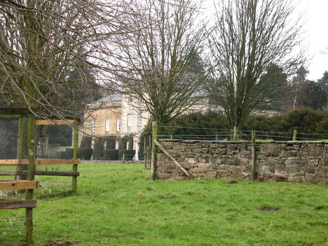
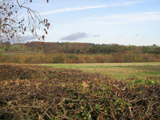
Barden Fell Images
Images are sourced within 2km of 54.359465/-1.787026 or Grid Reference SE1396. Thanks to Geograph Open Source API. All images are credited.


![Barden Lane Latest edition OS maps show this now as a 'Byway open to all traffic' [BOAT] which would suggest a change of grading from county road.](https://s0.geograph.org.uk/geophotos/04/60/07/4600756_bdb76268.jpg)

![Site of Walburn DMV There was a village here in the medieval period, but all that remains now is nearby Walburn Hall and its associated buildings. The village extended up this hillside and along either side of the short straight of the A6108 past the hall, the visible ridges here being the outlines of the 'crofts and tofts' which were the houses and their long 'gardens' used for cultivation and the keeping of a few animals. Little can be seen in this photo, but the houses were to the right of the photo facing what is now a stone wall down the middle of what was once a green with a small stream running down the centre. The crofts extended across the hillside to the left with a 'back lane' now visible as a sunken way [off picture to left]. To the right of the wall and below the small copse were more houses which faced the green from the other side. This is one of the best deserted medieval village sites in North Yorkshire and is well documented, but unfortunately is all on private land. For details of this and other sites in the area, read 'Valley of the Wild River' by Andrew Fleming.](https://s3.geograph.org.uk/geophotos/04/60/14/4601475_e20ab040.jpg)


Barden Fell is located at Grid Ref: SE1396 (Lat: 54.359465, Lng: -1.787026)
Division: North Riding
Administrative County: North Yorkshire
District: Richmondshire
Police Authority: North Yorkshire
What 3 Words
///owned.flopped.pebble. Near Catterick Garrison, North Yorkshire
Nearby Locations
Related Wikis
Hipswell Moor
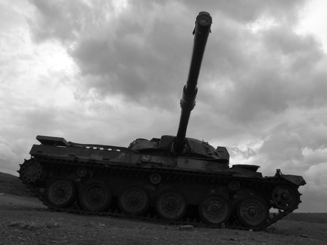
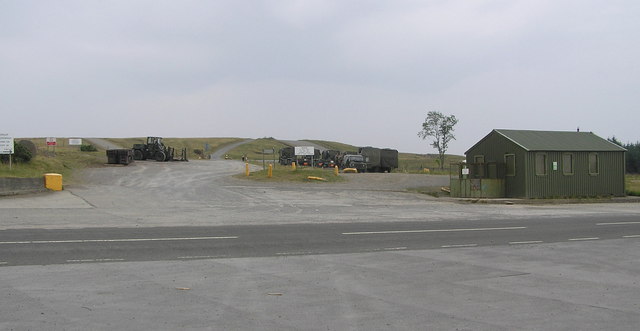
Hipswell Moor is an area used for military training, near Catterick Garrison in North Yorkshire, England. It includes parts of the civil parishes of Barden...

Walburn, North Yorkshire
Walburn is a hamlet and civil parish in North Yorkshire, England. It is located in lower Swaledale, 5 miles (8 km) south-west of Richmond. The population...

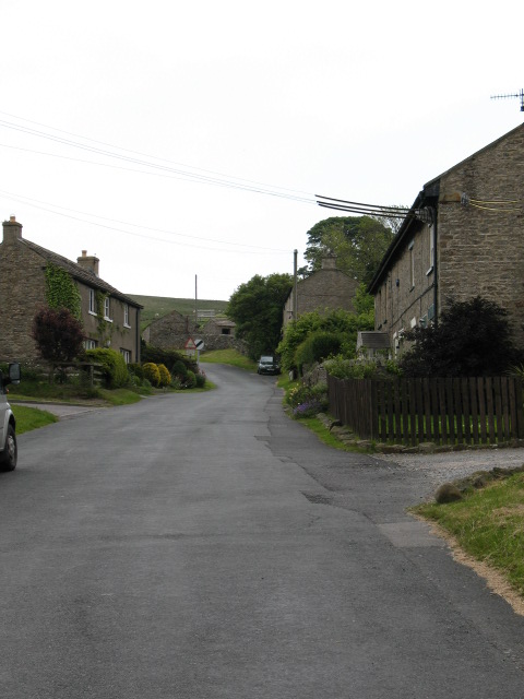
Barden, Richmondshire
Barden is a hamlet and civil parish in North Yorkshire, England. It is about 5 miles (8 km) south of Richmond. According to the 2001 census the parish...
Swaledale
Swaledale is a valley in North Yorkshire, England. It is one of the Yorkshire Dales, which are part of the Pennines, and within the Yorkshire Dales National...

Stainton, west North Yorkshire
Stainton is a hamlet and civil parish in the North Yorkshire district of North Yorkshire, England. It is located just outside the Yorkshire Dales National...
Downholme
Downholme is a village and civil parish in North Yorkshire, England. It is situated approximately 4 miles (6 km) west from the market town of Richmond...
Hauxwell Hall
Hauxwell Hall or Hawkswell Hall is a grade II* listed 17th-century country house in West Hauxwell, North Yorkshire, England, some 5 miles (8 km) south...
Garriston
Garriston is a hamlet and civil parish north-east of Leyburn in North Yorkshire, England. In 2015, North Yorkshire County Council estimated the population...
Nearby Amenities
Located within 500m of 54.359465,-1.787026Have you been to Barden Fell?
Leave your review of Barden Fell below (or comments, questions and feedback).