Flagg Moor
Downs, Moorland in Derbyshire Derbyshire Dales
England
Flagg Moor

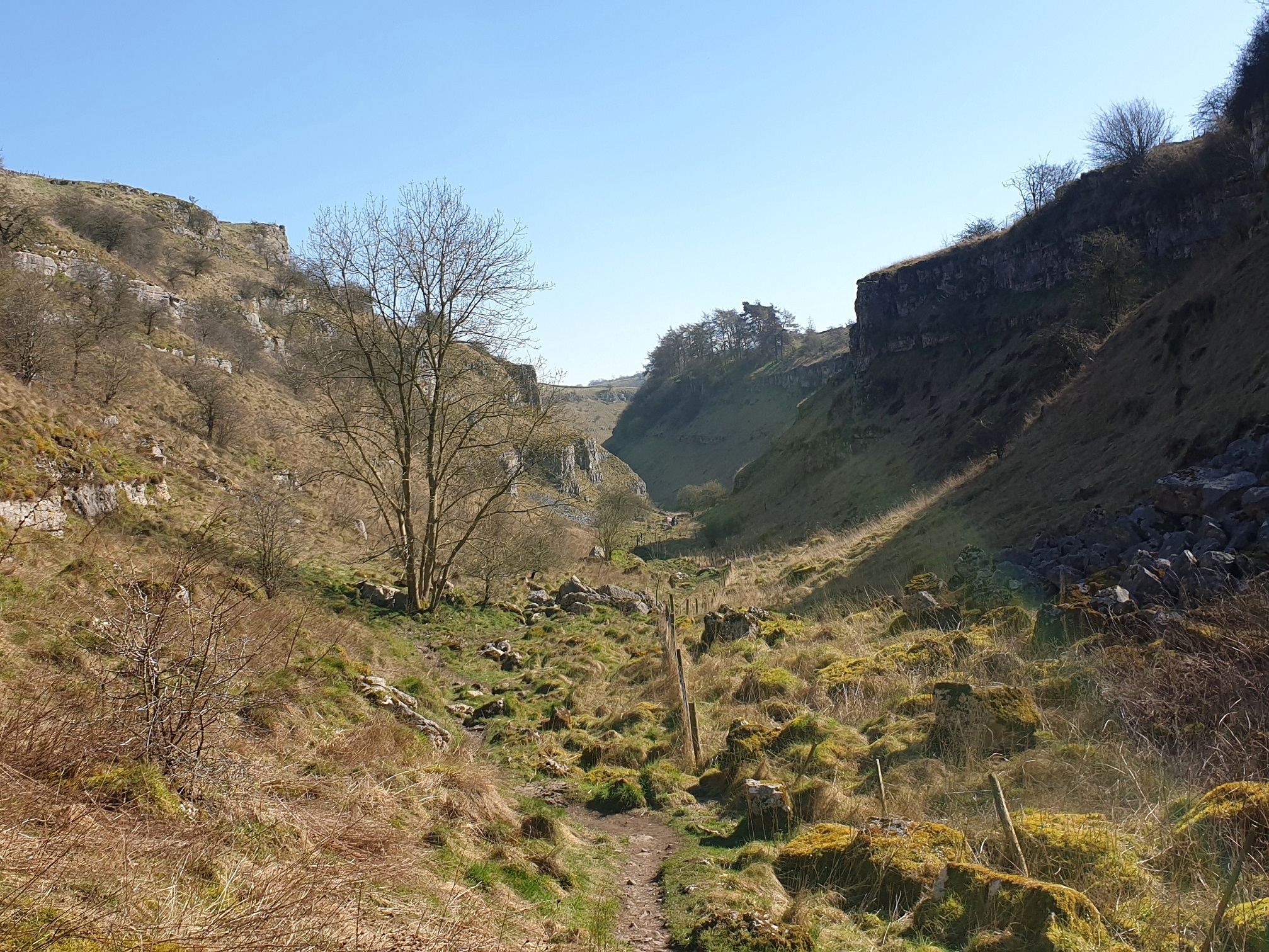
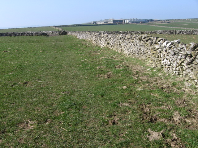
Flagg Moor is a picturesque area situated in the county of Derbyshire, England. It is located within the Peak District National Park, near the village of Flagg. This vast expanse of moorland covers an approximate area of 4 square miles and is characterized by its rolling hills, heathland, and scattered woodland.
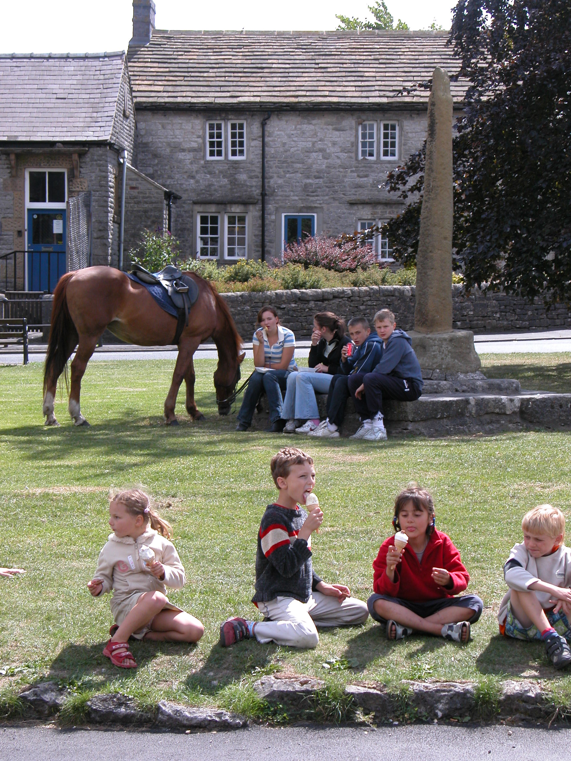
The moorland of Flagg Moor is renowned for its natural beauty and is a popular destination for hikers, nature enthusiasts, and bird watchers. It offers breathtaking panoramic views of the surrounding countryside, with its wide-open spaces providing a sense of tranquility and escape from the hustle and bustle of urban life.
The vegetation of Flagg Moor is mainly comprised of heather, grasses, and gorse, which create a vibrant tapestry of colors throughout the seasons. The area is also home to a diverse range of wildlife, including red grouse, curlews, skylarks, and various species of butterflies and insects.
There are several walking trails and footpaths that crisscross Flagg Moor, allowing visitors to explore its beauty and discover its hidden gems. These trails cater to all levels of fitness, from gentle strolls to more challenging hikes. Along the way, walkers may encounter ancient stone circles, remnants of lead mining activities, and numerous sheep grazing peacefully.
Flagg Moor is a place where visitors can truly immerse themselves in nature and experience the rugged charm of the Derbyshire countryside. Whether it's a leisurely walk, a picnic, or simply a moment of solitude, this moorland offers a delightful escape for those seeking a connection with the great outdoors.
If you have any feedback on the listing, please let us know in the comments section below.
Flagg Moor Images
Images are sourced within 2km of 53.202431/-1.797379 or Grid Reference SK1367. Thanks to Geograph Open Source API. All images are credited.


Flagg Moor is located at Grid Ref: SK1367 (Lat: 53.202431, Lng: -1.797379)
Administrative County: Derbyshire
District: Derbyshire Dales
Police Authority: Derbyshire
What 3 Words
///hazel.under.spires. Near Newhaven, Derbyshire
Nearby Locations
Related Wikis

White Peak
The White Peak, also known as the Low Peak, is a limestone plateau that forms the central and southern part of the Peak District in England. It is mostly...

Flagg, Derbyshire
Flagg (Old Norse A sod of peat) is a small Peak District village and civil parish, set in the Derbyshire Dales, halfway between the small market town...

Hurdlow railway station
Hurdlow railway station was near to the hamlet of Hurdlow within Hartington Middle Quarter civil parish, to the south east of Buxton, Derbyshire on the...
Monyash
Monyash (/muhn-ee-ash/ munyash) is a village and civil parish in the Peak District, Derbyshire, England, 5 miles (8.0 km) west of the market town Bakewell...

Cromford and High Peak Railway
The Cromford and High Peak Railway (C&HPR) was a standard-gauge line between the Cromford Canal wharf at High Peak Junction and the Peak Forest Canal at...
Lathkill Dale
Lathkill Dale is the valley of the River Lathkill near Bakewell, Derbyshire in the Peak District of England. The river emerges into the dale from springs...

Hartington Middle Quarter
Hartington Middle Quarter is a civil parish within the Derbyshire Dales district, which is in the county of Derbyshire, England. Formerly a part of Hartington...
Taddington Moor
Taddington Moor is a limestone hill between the villages of Taddington, Flagg and Chelmorton in the Derbyshire Peak District. The moor is an upland farming...
Nearby Amenities
Located within 500m of 53.202431,-1.797379Have you been to Flagg Moor?
Leave your review of Flagg Moor below (or comments, questions and feedback).