Blackwall Plantation
Downs, Moorland in Derbyshire High Peak
England
Blackwall Plantation
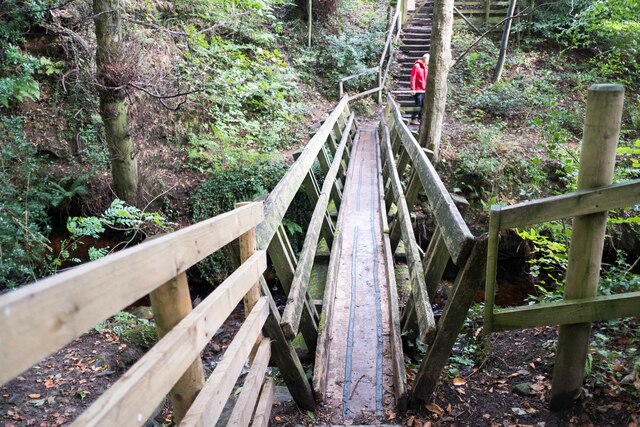
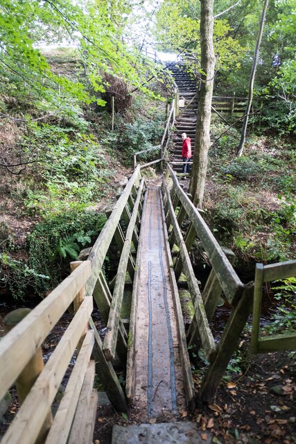
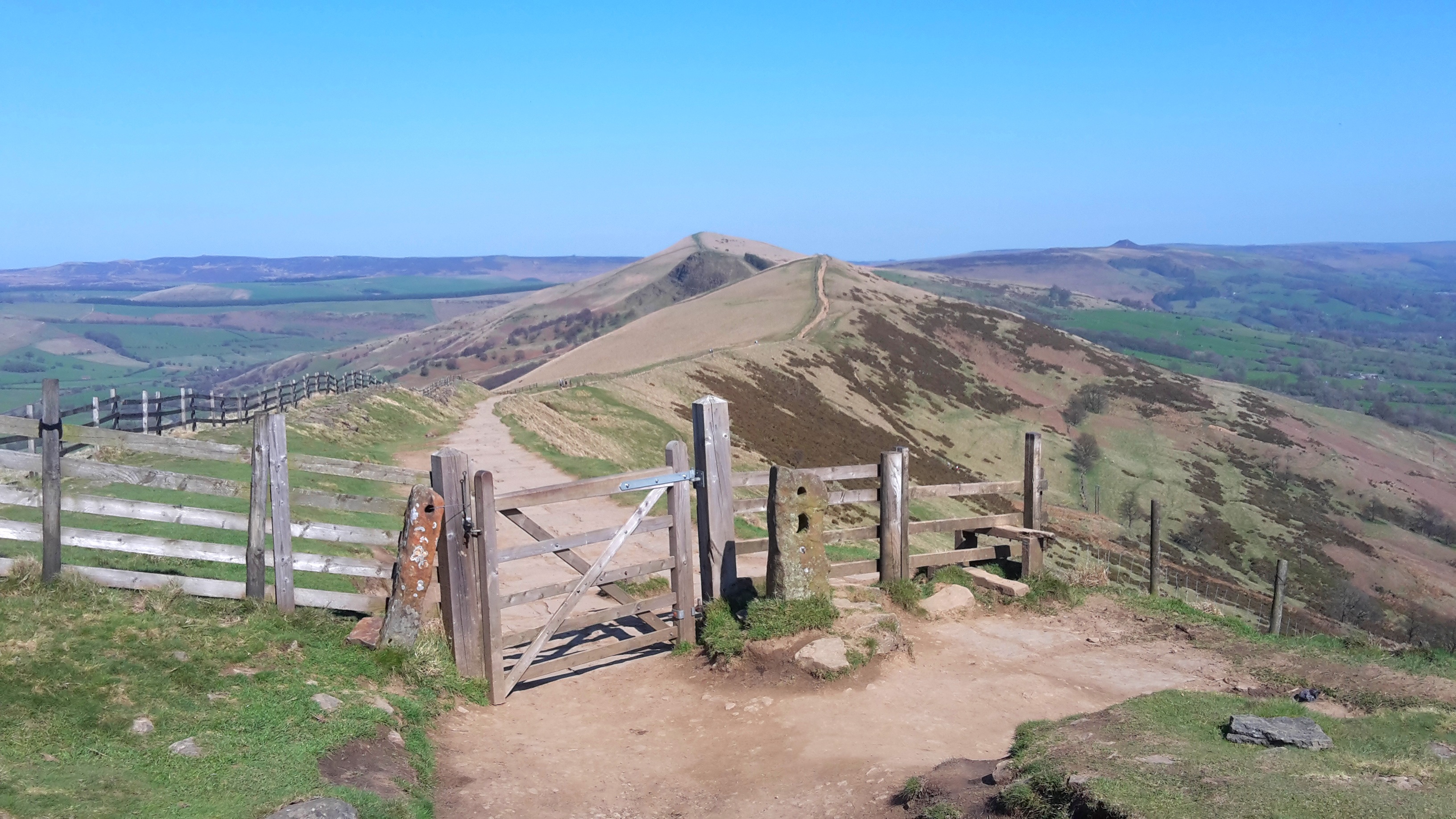
Blackwall Plantation is a picturesque area located in Derbyshire, England. Situated on the borders of the breathtaking Peak District National Park, it encompasses a diverse landscape of downs, moorland, and woodland. Spanning over several hundred acres, this plantation is a haven for nature enthusiasts and offers a multitude of recreational activities.
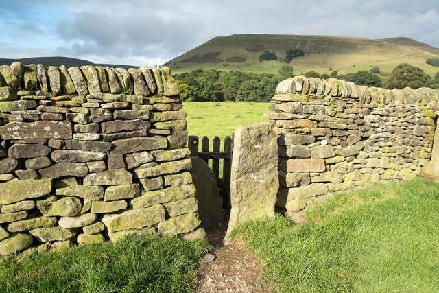
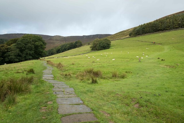
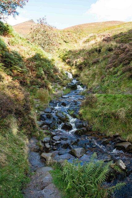
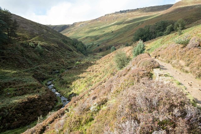
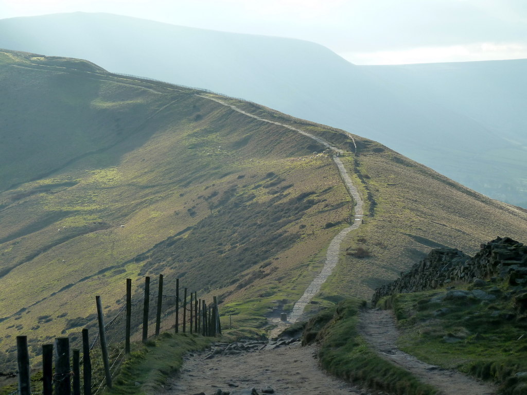
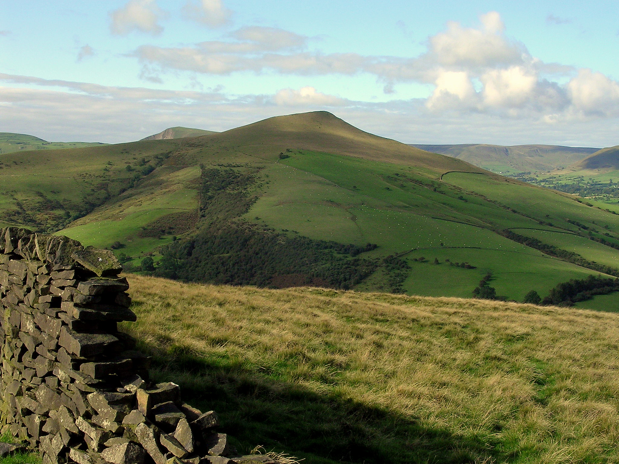
The plantation's downs provide a stunning backdrop of rolling hills, offering panoramic views of the surrounding countryside. The undulating terrain is carpeted with lush green grasses and dotted with vibrant wildflowers during the spring and summer months. It's a popular spot for picnickers, hikers, and runners, who can explore the numerous walking trails that wind their way through this idyllic landscape.
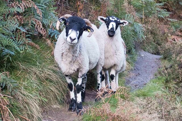
The moorland within Blackwall Plantation adds to its natural charm. Blanketed with heather and gorse, it provides a rich habitat for a variety of wildlife, including birds, insects, and small mammals. Birdwatchers will be delighted by the presence of species such as curlews, lapwings, and skylarks, which can often be spotted soaring above the open moorland.
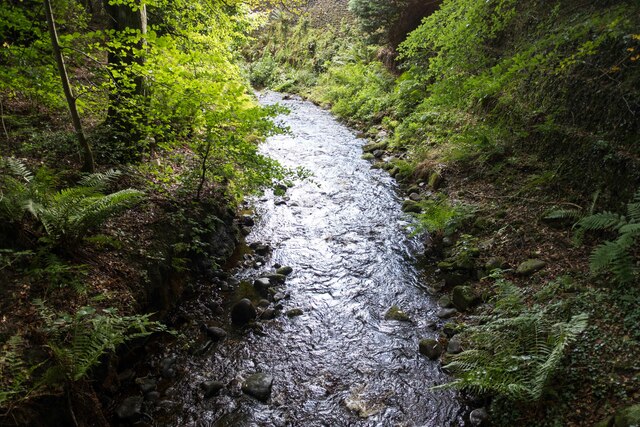
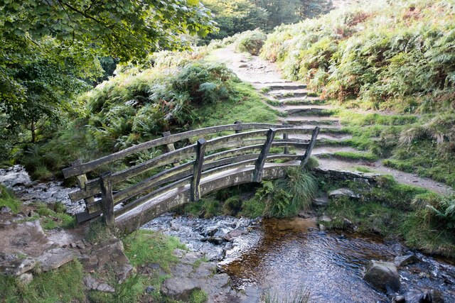
In addition to its natural beauty, Blackwall Plantation boasts a well-maintained woodland area. Towering oak and beech trees dominate the landscape, creating a tranquil atmosphere and offering shade during hot summer days. The woodland is home to an array of native wildlife, and visitors might catch a glimpse of deer, foxes, or even elusive badgers.
Overall, Blackwall Plantation in Derbyshire is a captivating destination for those seeking a slice of nature's beauty. Its combination of downs, moorland, and woodland provides a diverse and enchanting landscape, perfect for outdoor activities and wildlife exploration.
If you have any feedback on the listing, please let us know in the comments section below.
Blackwall Plantation Images
Images are sourced within 2km of 53.377156/-1.8037218 or Grid Reference SK1386. Thanks to Geograph Open Source API. All images are credited.

Blackwall Plantation is located at Grid Ref: SK1386 (Lat: 53.377156, Lng: -1.8037218)
Administrative County: Derbyshire
District: High Peak
Police Authority: Derbyshire
What 3 Words
///seating.nuns.wheat. Near High Peak, Derbyshire
Nearby Locations
Related Wikis

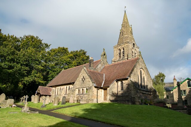
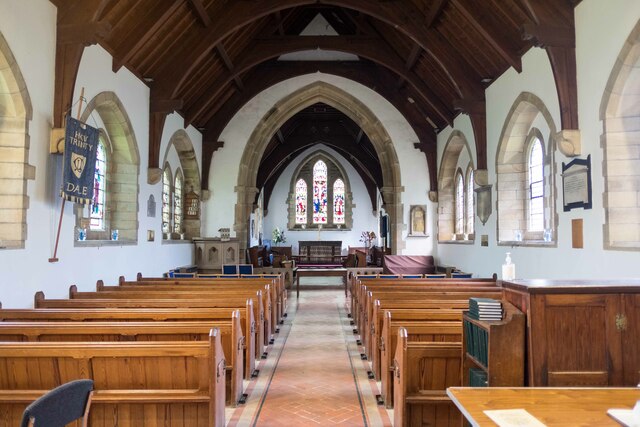
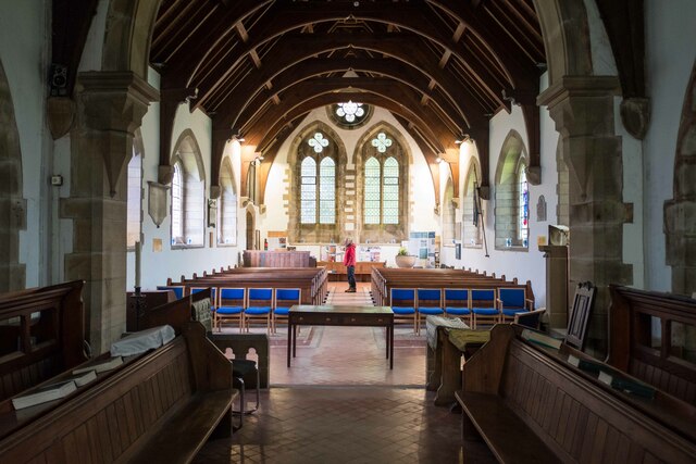
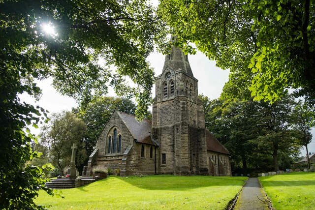
The Church of the Holy and Undivided Trinity, Edale
The Church of the Holy and Undivided Trinity, Edale, is a Grade II listed parish church in the Church of England in Edale, Derbyshire. == History == The...

Edale
Edale is a village and civil parish in the Peak District, Derbyshire, England, whose population was 353 at the 2011 Census. Edale, with an area of 7,030...
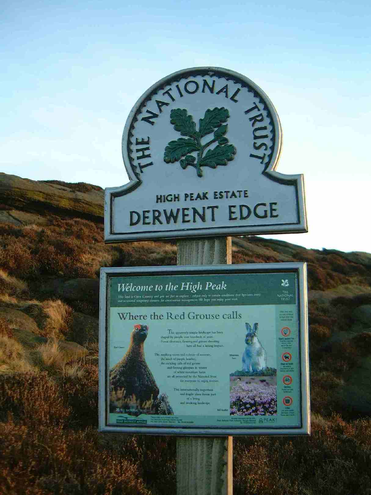
High Peak Estate
The High Peak Estate is an area of Pennine moorland in the ownership of the National Trust in the Dark Peak area of Derbyshire, England. The National...
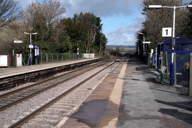
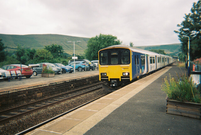
Edale railway station
Edale railway station serves the rural village of Edale in the Derbyshire Peak District, in England. It is located 20 miles (32 km) west of Sheffield and...
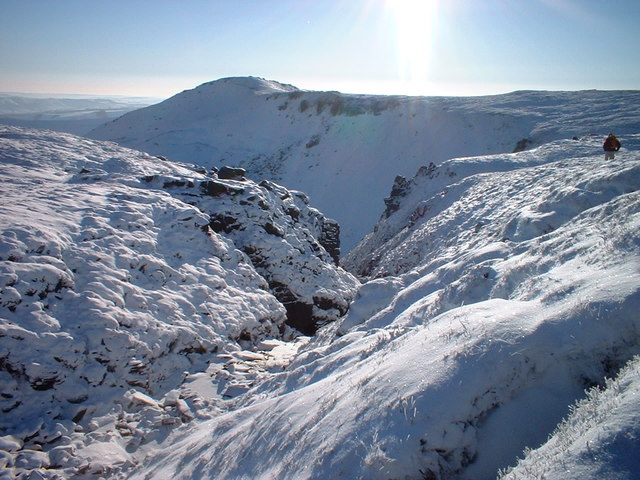
Grindslow Knoll
Grindslow Knoll is a hill in the Dark Peak area of the Peak District National Park in Derbyshire, England. It is joined to Kinder Scout by a high col though...
Great Ridge
Great Ridge is a ridge separating the vales of Edale and Castleton in Derbyshire, England. It extends for approximately 3 kilometres (1.9 mi) from Mam...
Hollins Cross
Hollins Cross lies between Mam Tor and Lose Hill on the Great Ridge that separates Castleton and Edale in Derbyshire, England. Hollins Cross is the lowest...
Lose Hill
Lose Hill lies in the Derbyshire Peak District. It is the south-east corner of the parish of Edale and the end of the Great Ridge that runs from Rushup...
Nearby Amenities
Located within 500m of 53.377156,-1.8037218Have you been to Blackwall Plantation?
Leave your review of Blackwall Plantation below (or comments, questions and feedback).