Hartsgreen
Settlement in Shropshire
England
Hartsgreen
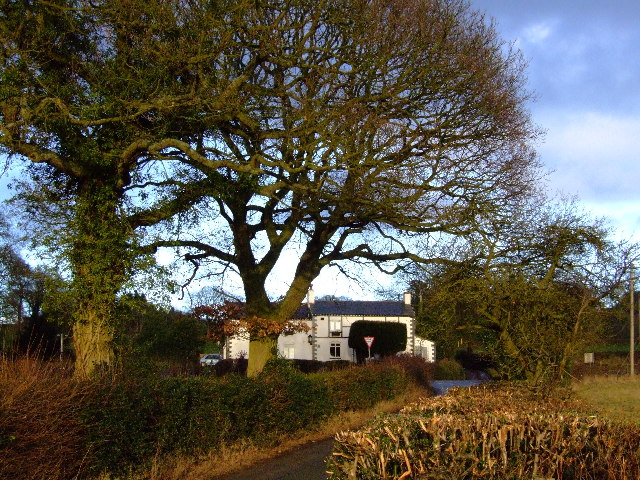
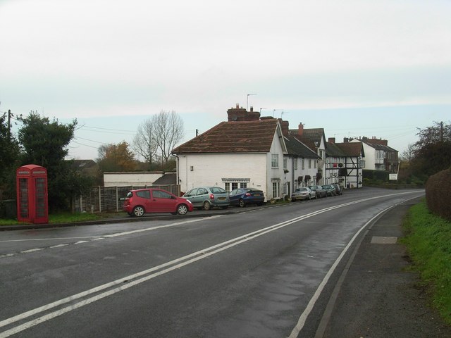
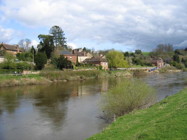
Hartsgreen is a small village located in the county of Shropshire, England. Situated in the West Midlands region, it is nestled in the picturesque countryside, surrounded by rolling hills and green landscapes. The village is part of the larger parish of Pontesbury, which is about 5 miles to the northwest.
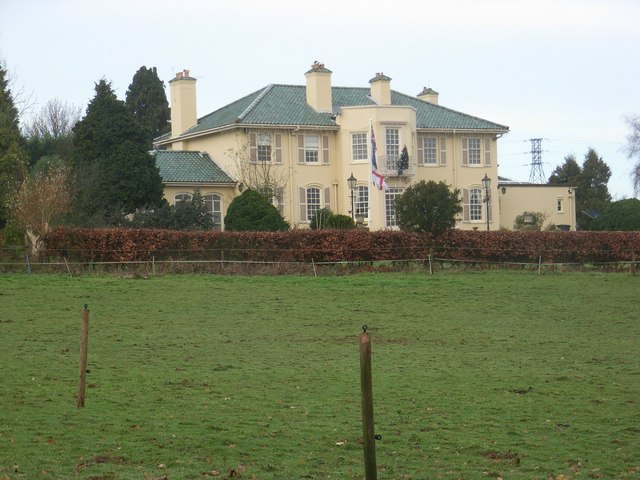
With a population of around 500 residents, Hartsgreen is known for its tranquil and close-knit community. The village is primarily residential, with a scattering of traditional cottages and houses, adding to its charm and character. The architecture reflects the rural heritage of the area, showcasing a mix of timber-framed and brick buildings.
Despite its small size, Hartsgreen offers a range of amenities to its residents. These include a local pub, a village hall that hosts various community events, and a small village shop that caters to the daily needs of its inhabitants. For more extensive shopping and leisure facilities, the nearby town of Shrewsbury is easily accessible by car or public transport.
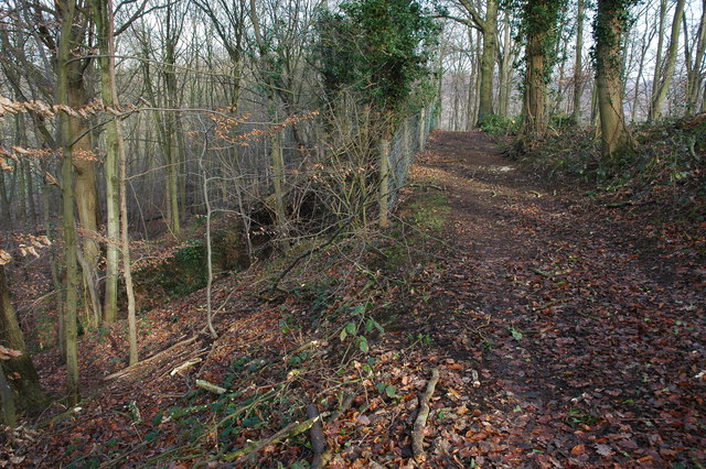
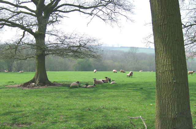
The surrounding natural beauty of Hartsgreen provides ample opportunities for outdoor activities. The area is dotted with walking and cycling trails, allowing residents and visitors to explore the stunning countryside. The nearby Pontesbury Hill, part of the Shropshire Hills Area of Outstanding Natural Beauty, offers breathtaking views and is a popular spot for nature enthusiasts.
Overall, Hartsgreen offers a peaceful and idyllic setting for those seeking a quiet rural lifestyle while still having access to essential amenities and the natural beauty of the Shropshire countryside.
If you have any feedback on the listing, please let us know in the comments section below.
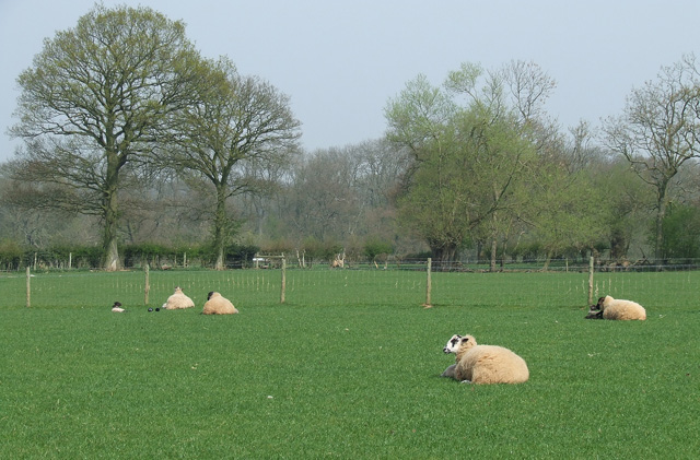
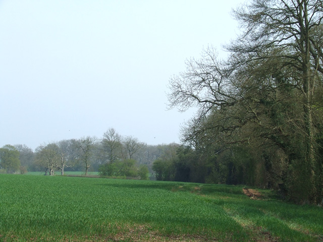
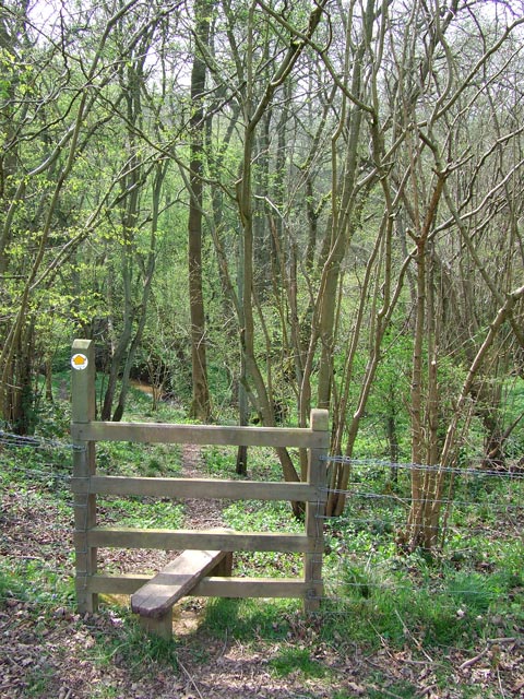
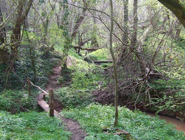
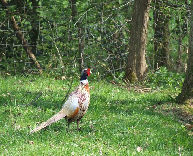
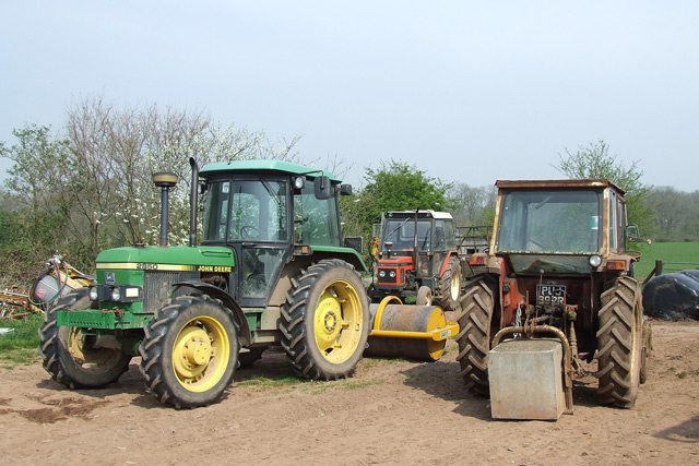
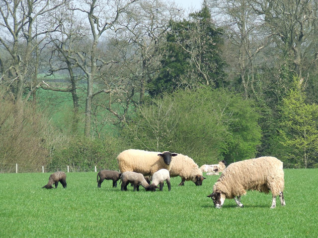
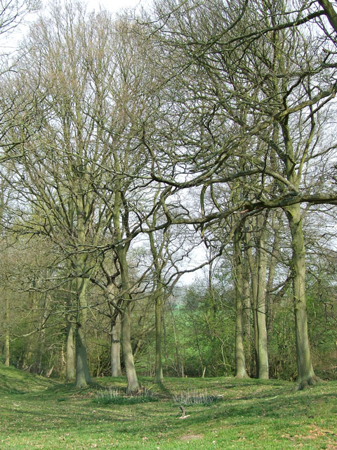
Hartsgreen Images
Images are sourced within 2km of 52.444556/-2.3103855 or Grid Reference SO7983. Thanks to Geograph Open Source API. All images are credited.


Hartsgreen is located at Grid Ref: SO7983 (Lat: 52.444556, Lng: -2.3103855)
Unitary Authority: Shropshire
Police Authority: West Mercia
What 3 Words
///cello.relate.eternally. Near Romsley, Shropshire
Nearby Locations
Related Wikis

Romsley, Shropshire
Romsley (grid reference SO783826) is a hamlet and civil parish in southeast Shropshire, England. It is bounded on the north and west by Alveley and on...

Shatterford
Shatterford is a village in the Wyre Forest District of Worcestershire, England, located north-west of Bewdley and lies less than a mile from the county...

Castle Hill, Wolverley
Castle Hill or Baron Hill is about a mile from the hamlet of Kingsford in the civil parish of Wolverley and Cookley, Worcestershire. In 1912 the site consisted...

Alveley
Alveley is a village in the Severn Valley in southeast Shropshire, England, about 11 miles (18 km) south-southeast of Bridgnorth. It is in the civil parish...

Arley House and Gardens
Arley House and Gardens are situated at Upper Arley, about 4 miles (6.4 km) north-west of Bewdley, in Worcestershire, England. The gardens, arboretum and...
Kingsford, Worcestershire
Kingsford is a large hamlet in Worcestershire, England. == Location == Kingsford is located one mile (1.6 km) north of the village of Wolverley, Worcestershire...
Upper Arley
Upper Arley (grid reference SO765805) is a village and civil parish near Kidderminster in the Wyre Forest District of Worcestershire, England. Historically...

Drakelow Tunnels
Drakelow Tunnels are a former underground military complex beneath the Blakeshall Estate north of Kidderminster, Worcestershire, covering 285,000 sq ft...
Have you been to Hartsgreen?
Leave your review of Hartsgreen below (or comments, questions and feedback).