Bracken Parks
Downs, Moorland in Yorkshire Richmondshire
England
Bracken Parks

Bracken Parks is a picturesque area located in Yorkshire, England, encompassing both the Downs and Moorland landscapes. It is renowned for its natural beauty, offering visitors a diverse range of scenic views and outdoor activities.
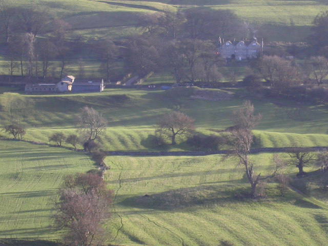
The Downs of Bracken Parks are characterized by rolling hills and vast open spaces. The landscape is predominantly covered in lush green grasslands, dotted with patches of bracken, wildflowers, and grazing animals. These open areas provide ample opportunities for recreational activities such as walking, picnicking, and kite flying. The Downs also offer stunning panoramic views of the surrounding countryside, making it a popular spot for nature enthusiasts and photographers.
On the other hand, the Moorland in Bracken Parks presents a more rugged and wild terrain. It features vast expanses of heather-covered hills, interspersed with rocky outcrops and peat bogs. This unique ecosystem is home to a variety of plant and animal species, including grouse, curlew, and bilberry. Many visitors enjoy hiking or mountain biking through the moorland, taking in the breathtaking vistas and experiencing the tranquility of the untouched wilderness.
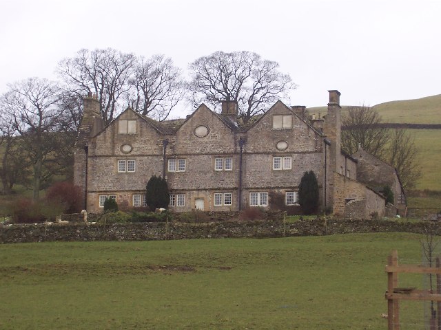
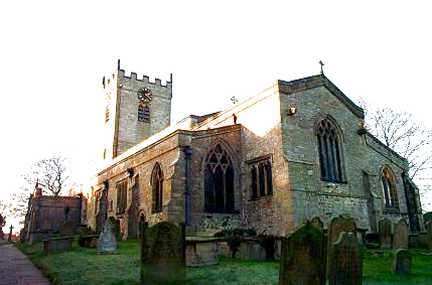
Bracken Parks also boasts a rich cultural heritage, with several historic sites and landmarks scattered throughout the area. These include ancient burial mounds, ruins of old farmsteads, and remnants of Bronze Age settlements. Visitors can explore these sites while learning about the region's fascinating history.
In summary, Bracken Parks in Yorkshire offers visitors a diverse and captivating experience, with its combination of picturesque Downs and untamed Moorland landscapes. Whether seeking tranquility, outdoor adventures, or a glimpse into the past, this area has something to offer for everyone.
If you have any feedback on the listing, please let us know in the comments section below.
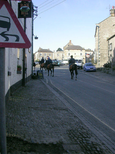
Bracken Parks Images
Images are sourced within 2km of 54.272112/-1.8157763 or Grid Reference SE1286. Thanks to Geograph Open Source API. All images are credited.


Bracken Parks is located at Grid Ref: SE1286 (Lat: 54.272112, Lng: -1.8157763)
Division: North Riding
Administrative County: North Yorkshire
District: Richmondshire
Police Authority: North Yorkshire
What 3 Words
///steady.lies.cycle. Near Leyburn, North Yorkshire
Nearby Locations
Related Wikis
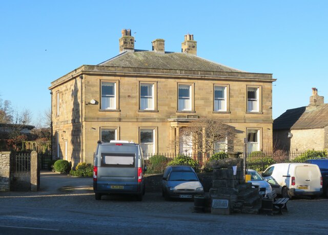
Braithwaite Hall
Braithwaite Hall is a 17th-century manor house in Coverdale in the Yorkshire Dales in England. It lies 1.8 miles (2.9 km) west of the village of East...

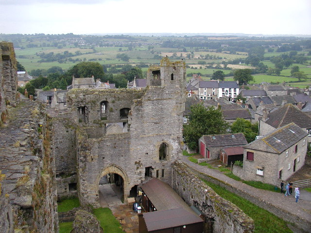
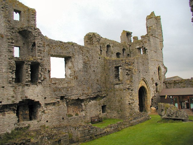
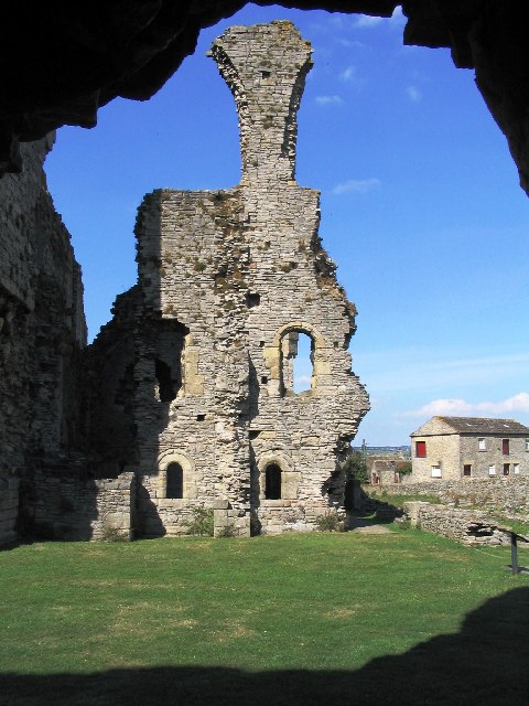
Middleham Castle
Middleham Castle is a ruined castle in Middleham in Wensleydale, in the county of North Yorkshire, England. It was built by Robert Fitzrandolph, 3rd Lord...

Coverham Abbey
Coverham Abbey, North Yorkshire, England, was a Premonstratensian monastery that was founded at Swainby in 1190 by Helewisia, daughter of the Chief Justiciar...

Middleham
Middleham is a market town and civil parish in the district and county of North Yorkshire, England. It lies in Wensleydale in the Yorkshire Dales, on...
Coverham
Coverham is a village in Coverdale in the Yorkshire Dales in North Yorkshire, England. It lies 2 miles (3.2 km) west of the town of Middleham. == History... ==
Church of St Mary and St Alkelda, Middleham
The Church of St Mary and St Alkelda is a Church of England parish church in Middleham, Richmondshire, North Yorkshire. The church is a grade I listed...

Holy Trinity Church, Coverham
Holy Trinity Church is a redundant Anglican church in the village of Coverham, North Yorkshire, England. It is recorded in the National Heritage List...
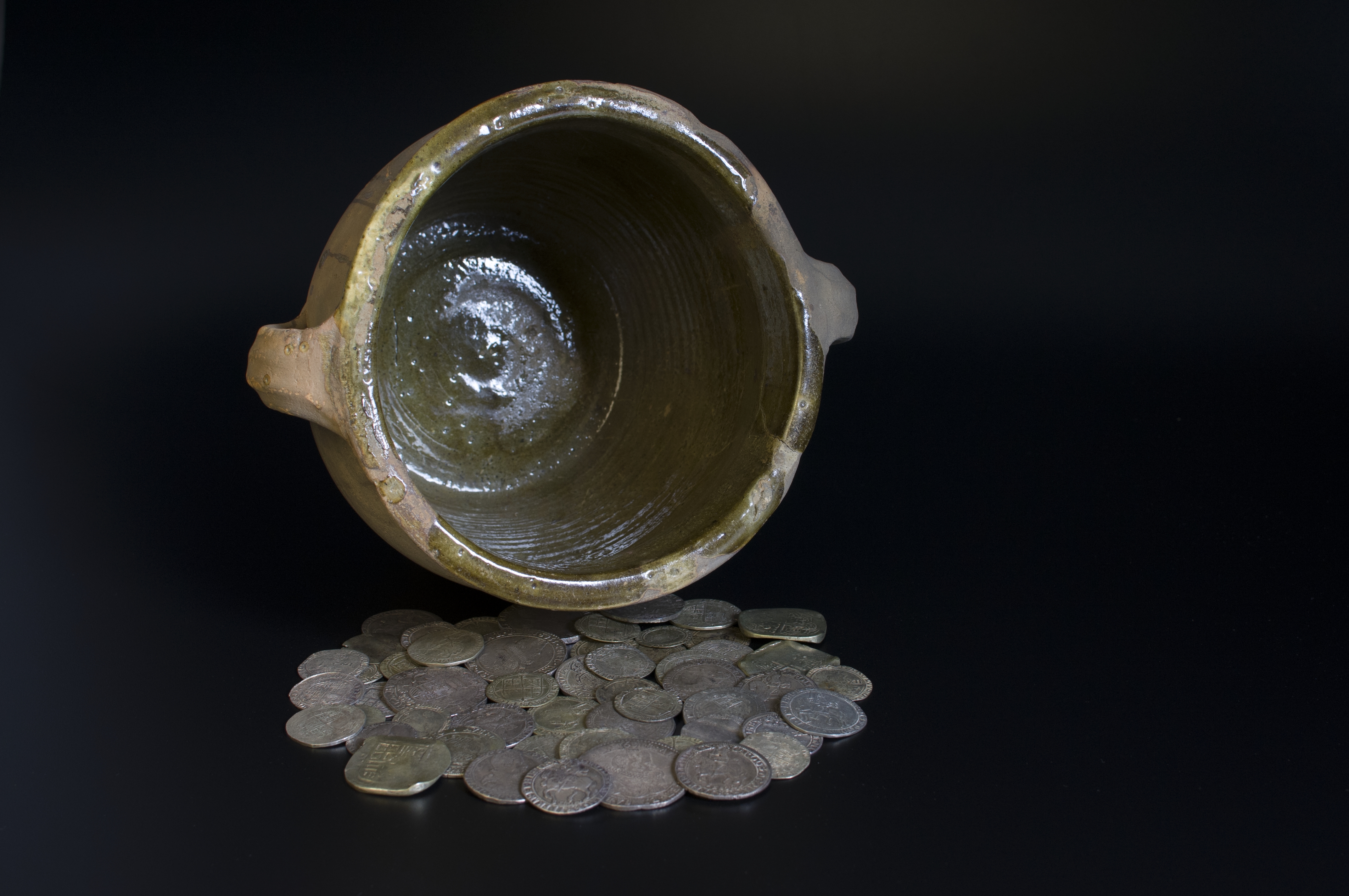
Middleham Hoard
The Middleham Hoard is a coin hoard found near Middleham, North Yorkshire in England. It dates from the period of the English Civil War, and consists of...
Nearby Amenities
Located within 500m of 54.272112,-1.8157763Have you been to Bracken Parks?
Leave your review of Bracken Parks below (or comments, questions and feedback).