Netheravon Down
Downs, Moorland in Wiltshire
England
Netheravon Down

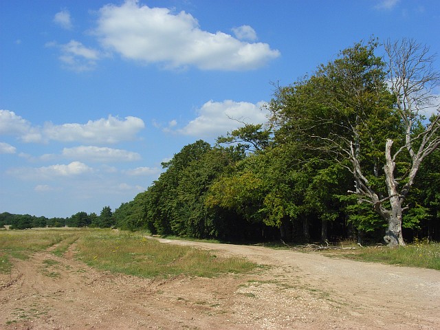
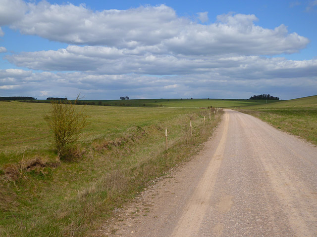
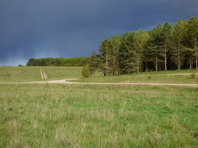
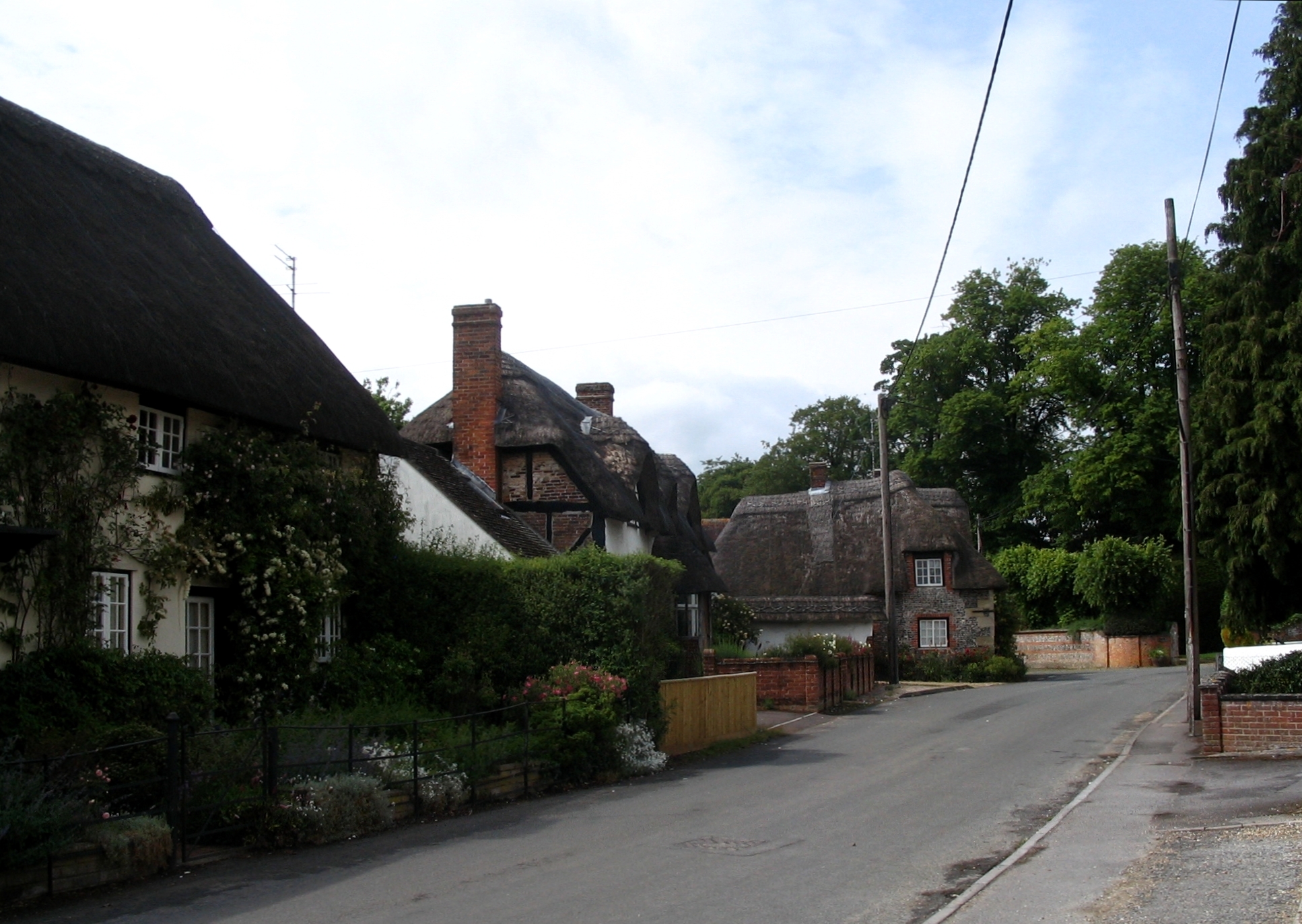
Netheravon Down is a prominent geographical feature located in Wiltshire, England. It is a vast expanse of downs and moorland that stretches over an area of approximately 3,000 acres. The down is situated near the village of Netheravon, which lies on the eastern edge of Salisbury Plain.
The landscape of Netheravon Down is characterized by rolling hills covered in grassland and heathland, interspersed with patches of woodland. The downs provide breathtaking panoramic views of the surrounding countryside, with views extending as far as the Salisbury Cathedral in the distance.
The area is known for its rich biodiversity, supporting a wide variety of plant and animal species. The grassland is home to numerous wildflowers, including orchids and rare species such as the Adonis blue butterfly. The heathland provides a habitat for reptiles like adders and lizards, while the woodlands are home to birds such as woodpeckers and nightjars.
Netheravon Down has a significant historical background as well. It is believed to have been inhabited since prehistoric times, with evidence of Bronze Age and Iron Age settlements found in the area. The down was also used as a training ground during World War I and II, and remnants of military structures can still be seen scattered across the landscape.
Today, Netheravon Down is a popular destination for outdoor activities such as hiking, birdwatching, and nature walks. The area is crisscrossed by a network of footpaths and bridleways, providing visitors with opportunities to explore and enjoy the natural beauty of this remarkable downs and moorland.
If you have any feedback on the listing, please let us know in the comments section below.
Netheravon Down Images
Images are sourced within 2km of 51.224783/-1.8395939 or Grid Reference SU1147. Thanks to Geograph Open Source API. All images are credited.


Netheravon Down is located at Grid Ref: SU1147 (Lat: 51.224783, Lng: -1.8395939)
Unitary Authority: Wiltshire
Police Authority: Wiltshire
What 3 Words
///hence.fever.punk. Near Lark Hill, Wiltshire
Nearby Locations
Related Wikis

Robin Hood's Ball
Robin Hood’s Ball is a Neolithic causewayed enclosure on Salisbury Plain in Wiltshire, England, approximately 5 miles (8 km) northwest of the town of Amesbury...

Larkhill
Larkhill is a garrison town in the civil parish of Durrington, Wiltshire, England. It lies about 1+3⁄4 miles (2.8 km) west of the centre of Durrington...

All Saints' Church, Netheravon
The Church of All Saints is the Church of England parish church for the village of Netheravon, Wiltshire, England. A church has stood on this site near...

Netheravon
Netheravon is a village and civil parish on the River Avon and A345 road, about 4 miles (6.4 km) north of the town of Amesbury in Wiltshire, South West...
Garrison Church of St Alban the Martyr, Larkhill
The Garrison Church of St Alban the Martyr is a Church of England church in Larkhill, Wiltshire, England. == History == The garrison church, dedicated...
RAF Shrewton
Royal Air Force Shrewton or more simply RAF Shrewton is a former Royal Air Force satellite airfield located in Wiltshire, England. The following units...
Figheldean
Figheldean is a village and civil parish on the River Avon, 3+1⁄2 miles (6 km) north of Amesbury in Wiltshire, England. Figheldean parish extends 3 miles...

Fittleton cum Haxton
Fittleton cum Haxton is a civil parish in Wiltshire, England, 12 miles (19 km) north of Salisbury. The parish contains the adjacent settlements of Fittleton...
Related Videos

Lockdown cross-country
Bank holiday in lockdown Larkhill XC opened up for the kids to play!
Have you been to Netheravon Down?
Leave your review of Netheravon Down below (or comments, questions and feedback).