Bleaklow Meadows
Downs, Moorland in Derbyshire High Peak
England
Bleaklow Meadows
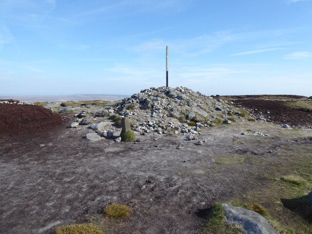
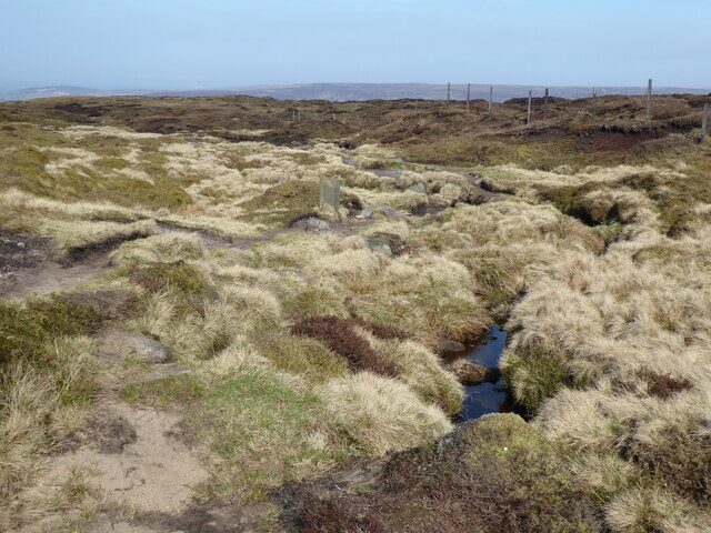
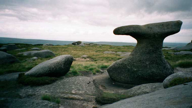
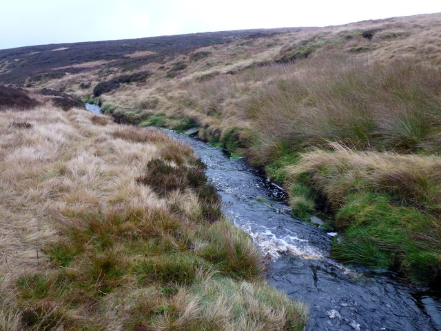
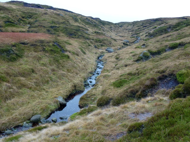
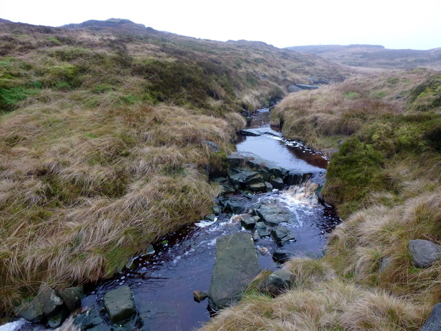
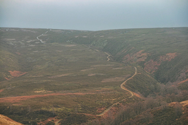
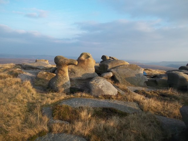
Bleaklow Meadows is a vast expanse of natural beauty located in Derbyshire, England. Nestled within the picturesque Peak District National Park, it covers an area of over 2,000 acres. This stunning landscape is characterized by its rolling hills, open grasslands, and heather-covered moorlands.
As its name suggests, Bleaklow Meadows can often have a wild and desolate atmosphere due to the harsh weather conditions that prevail in this region. It is known for its unpredictable climate, which can range from bright sunshine to dense fog and heavy rainfall within a matter of hours. These weather patterns create a unique and ever-changing environment that attracts visitors from far and wide.
The meadows are home to a diverse range of flora and fauna, making it a haven for nature enthusiasts and wildlife lovers. The open grasslands are adorned with vibrant wildflowers during the summer months, creating a colorful tapestry across the landscape. The area is also inhabited by various bird species, including the elusive ring ouzel and the iconic red grouse.
Hikers and outdoor enthusiasts flock to Bleaklow Meadows to explore its rugged terrain and stunning vistas. The area offers a network of well-marked trails, allowing visitors to discover its hidden gems, including ancient stone circles and prehistoric burial sites. There are also opportunities for rock climbing and mountain biking, catering to adrenaline seekers.
Bleaklow Meadows is a place of raw natural beauty, where visitors can experience the untamed spirit of the Derbyshire countryside. It is a true gem within the Peak District National Park, offering a glimpse into the wild and captivating landscapes that define this region.
If you have any feedback on the listing, please let us know in the comments section below.
Bleaklow Meadows Images
Images are sourced within 2km of 53.472956/-1.840598 or Grid Reference SK1097. Thanks to Geograph Open Source API. All images are credited.


Bleaklow Meadows is located at Grid Ref: SK1097 (Lat: 53.472956, Lng: -1.840598)
Administrative County: Derbyshire
District: High Peak
Police Authority: Derbyshire
What 3 Words
///passage.pesky.waiters. Near Glossop, Derbyshire
Nearby Locations
Related Wikis

Bleaklow
Bleaklow is a high, largely peat-covered, gritstone moorland in the Derbyshire High Peak near the town of Glossop. It is north of Kinder Scout, across...
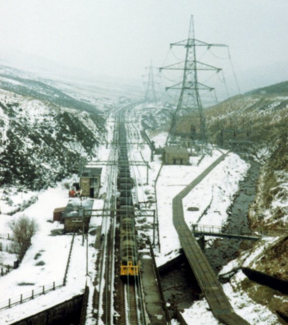
Woodhead railway station
Woodhead railway station was a railway station that served the hamlet of Woodhead on the Woodhead Line. == History == The station was opened on 8 April...
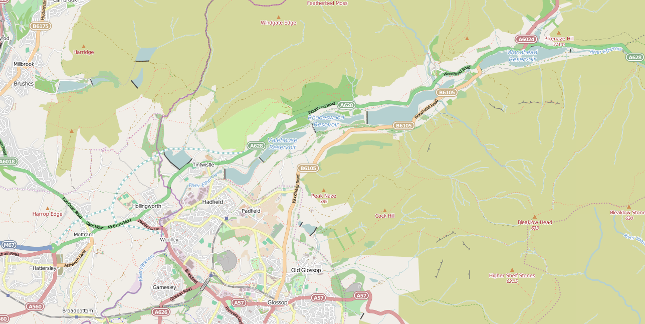
Longdendale Chain
The Longdendale Chain is a sequence of six reservoirs on the River Etherow in the Longdendale Valley, in northern Derbyshire. They were constructed between...
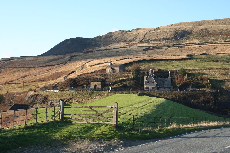
Woodhead, Derbyshire
Woodhead is a small and scattered settlement at the head of the Longdendale valley in Derbyshire, England. It lies on the trans-Pennine A628 road connecting...

Woodhead Reservoir
Woodhead reservoir is a man-made lake near the hamlet of Woodhead in Longdendale in north Derbyshire, England. It was constructed by John Frederick Bateman...

Bleaklow Bomber
The Bleaklow Bomber was a US Air Force (USAF) Boeing RB-29A Superfortress that crashed near Higher Shelf Stones on Bleaklow in the Peak District in 1948...

Crowden railway station
Crowden railway station is a closed railway station on the Woodhead Line between Manchester and Sheffield, that served the hamlet of Crowden, Derbyshire...

Longdendale
Longdendale is a valley in the Peak District of England, north of Glossop and southwest of Holmfirth. The name means "long wooded valley" and the valley...
Nearby Amenities
Located within 500m of 53.472956,-1.840598Have you been to Bleaklow Meadows?
Leave your review of Bleaklow Meadows below (or comments, questions and feedback).