Coombe Bissett Down

Downs, Moorland in Wiltshire

England

Coombe Bissett Down

It's wheelie bin day A collection of wheelie bins in the hamlet of Stratford Tony.
It's wheelie bin day Credit: Anthony Vosper

Coombe Bissett Down is a nature reserve located in Wiltshire, England. Situated in the southern part of the county, it covers an area of approximately 70 acres and is managed by the Wiltshire Wildlife Trust.

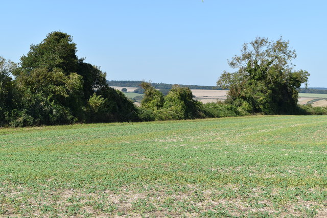
The reserve is characterized by its diverse range of habitats, including chalk downland, limestone grassland, and areas of scrub and woodland. These habitats support a wide variety of plant and animal species, many of which are rare or endangered.

The chalk downland at Coombe Bissett Down is particularly notable, with its rich biodiversity and stunning panoramic views. It is home to a number of rare plant species, such as pyramidal orchids, horseshoe vetch, and chalk milkwort. In the summer months, the downs are alive with the vibrant colors of wildflowers, attracting an array of butterflies and other insects.

Moorland can also be found at Coombe Bissett Down, providing a different habitat for wildlife. Heathland plants like heather and gorse can be seen here, and the area is known for its birdlife, including stonechats and skylarks.

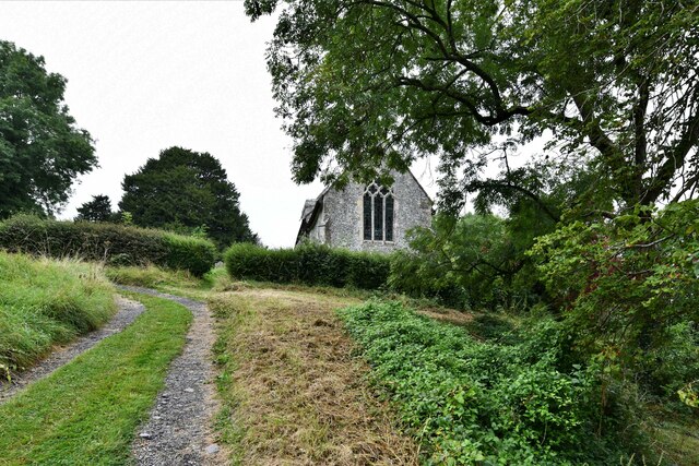
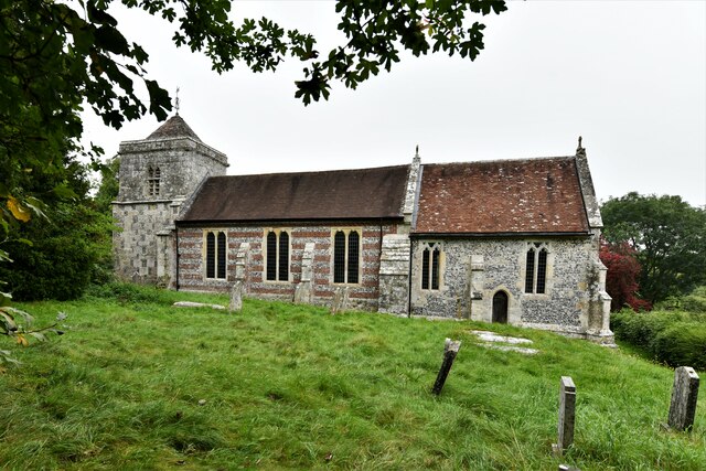
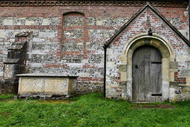
The reserve is not only important for its wildlife, but also for its historical and cultural significance. It is home to several ancient burial mounds, dating back thousands of years, and there are remnants of old field systems and quarries in the area.

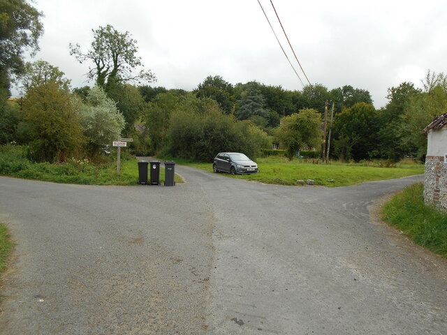
Coombe Bissett Down is a popular destination for nature lovers, walkers, and birdwatchers, who can explore the network of footpaths that crisscross the reserve and take in the natural beauty of this unique landscape. The reserve also offers various educational and volunteer opportunities, allowing visitors to learn more about the importance of conservation and the protection of our natural heritage.

If you have any feedback on the listing, please let us know in the comments section below.

Coombe Bissett Down Images

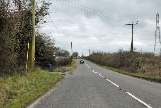
Images are sourced within 2km of 51.02215/-1.855406 or Grid Reference SU1024. Thanks to Geograph Open Source API. All images are credited.

It's wheelie bin day A collection of wheelie bins in the hamlet of Stratford Tony.
It's wheelie bin day
A collection of wheelie bins in the hamlet of Stratford Tony.
Stratford Tony: St. Mary and St. Lawrence Church from the steep track leading to it
Stratford Tony: St. Mary and St. Lawrence Church, southern aspect
Stratford Tony: St. Mary and St. Lawrence Church, north porch
Lane leading to Blandford Road It was quite a shock leaving this chalk surfaced lane between two strips of jungle for the very busy Blandford Road.
Lane leading to Blandford Road
It was quite a shock leaving this chalk surfaced lane between two strips of jungle for the very busy Blandford Road.
Entrance to Hillcrest boarding kennels
Straight road from Jervoise Farm
Stratford Tony Ford This ford on the River Ebble is found at Stratford Tony.
Stratford Tony Ford
This ford on the River Ebble is found at Stratford Tony.
The Church of St Mary and St Lawrence at Stratford Tony Viewed from the south.
The Church of St Mary and St Lawrence at Stratford Tony
Viewed from the south.
A354 towards Blandford Byways head off to left and, just out of sight, to right here.
A354 towards Blandford
Byways head off to left and, just out of sight, to right here.
By Stratford Tony Road A hedge leads away from the road, towards a channel off the River Ebble, which flows past the trees ahead on the left.
By Stratford Tony Road
A hedge leads away from the road, towards a channel off the River Ebble, which flows past the trees ahead on the left.
Stratford Tony Road The road along the Ebble valley takes a curve on its way to Combe Bissett.
Stratford Tony Road
The road along the Ebble valley takes a curve on its way to Combe Bissett.
Blandford Road south of Coombe Bissett
Farm track off Blandford Road The map shows these going on for miles connecting fields with main roads.
Farm track off Blandford Road
The map shows these going on for miles connecting fields with main roads.
Old Blandford Road The right of way marked on the map cuts across a field just here, but locked gates and barbed wire suggest we should stick to the track.
Old Blandford Road
The right of way marked on the map cuts across a field just here, but locked gates and barbed wire suggest we should stick to the track.
Field beside Old Blandford Road
Show me another place!

Coombe Bissett Down is located at Grid Ref: SU1024 (Lat: 51.02215, Lng: -1.855406)

Unitary Authority: Wiltshire

Police Authority: Wiltshire

What 3 Words

///elder.airfields.conceals. Near Bishopstone, Wiltshire

Nearby Locations

Coombe Bissett Down

Related Wikis

Homington and Coombe Bissett Downs

Homington and Coombe Bissett Downs (grid reference SU104245) is a 25.0 hectare biological Site of Special Scientific Interest in Wiltshire, notified in...

Stratford Toney Down

Stratford Toney Down (grid reference SU095246) is a 23.1 hectare biological Site of Special Scientific Interest in Wiltshire, England, which was notified...

Throope Down

Throope Down (grid reference SU086244) is a 34.4 hectare biological Site of Special Scientific Interest in Wiltshire, England, on chalk grassland in Bishopstone...

Coombe Bissett

Coombe Bissett is a village and civil parish in the English county of Wiltshire in the River Ebble valley, 3 miles (4.8 km) southwest of Salisbury on the...

Nearby Amenities

Located within 500m of 51.02215,-1.855406
Spire View Airstrip
Aeroway: aerodrome
Lat/Long: 51.0209773/-1.86044
Coombe Bissett Down
Place: locality
Lat/Long: 51.0200595/-1.854478
The data included in this document is from www.openstreetmap.org. The data is made available under ODbL.

Have you been to Coombe Bissett Down?

Leave your review of Coombe Bissett Down below (or comments, questions and feedback).