Hartley Green
Settlement in Staffordshire Stafford
England
Hartley Green
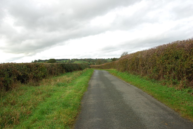
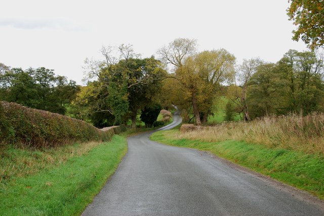
Hartley Green is a small village located in the county of Staffordshire, England. It is situated approximately 8 miles south of the county town of Stafford and is surrounded by picturesque countryside. The village has a population of around 500 residents.
Hartley Green is known for its peaceful and rural environment, making it an attractive place for those seeking a quiet and idyllic lifestyle. The village is characterized by its traditional English architecture, with many historic buildings dating back to the 18th and 19th centuries.
The heart of the village is dominated by the St. Mary's Church, a beautiful medieval church that serves as a focal point for the community. There is also a quaint village pub, The Green Inn, which is popular among locals and visitors alike.
While Hartley Green is primarily a residential area, it benefits from its proximity to larger towns and cities. The nearby town of Stafford provides residents with access to a range of amenities, including shops, schools, and healthcare facilities. The village is also well-connected to the wider region, with good road links to major cities such as Birmingham and Manchester.
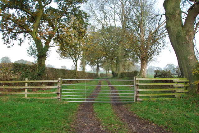
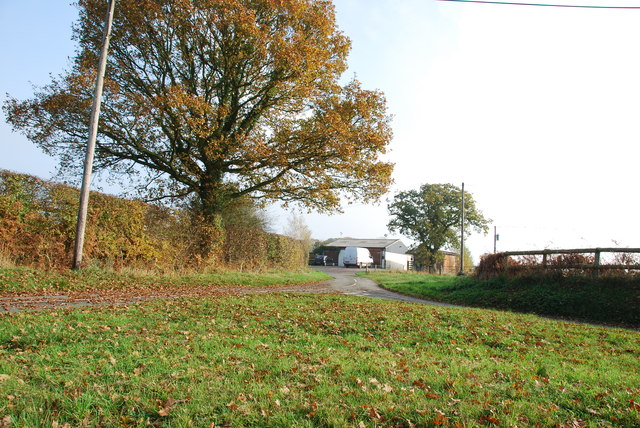
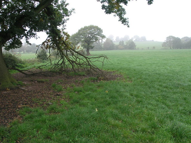
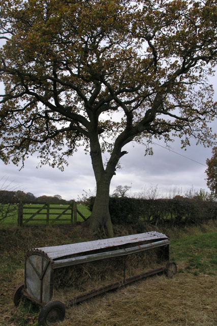
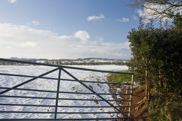
Surrounded by rolling hills and farmland, Hartley Green offers plenty of opportunities for outdoor activities and exploration. The village is a great base for walking and cycling enthusiasts, with numerous footpaths and trails in the surrounding countryside.
Overall, Hartley Green is a charming and welcoming village that offers a peaceful and rural lifestyle, while still providing easy access to the amenities of larger towns and cities.
If you have any feedback on the listing, please let us know in the comments section below.
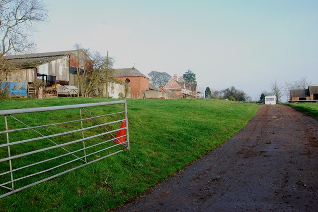
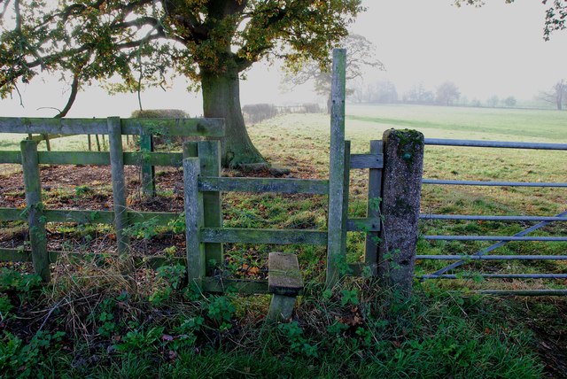
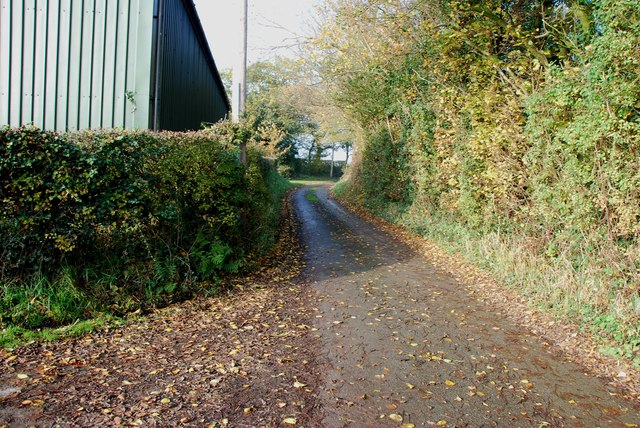
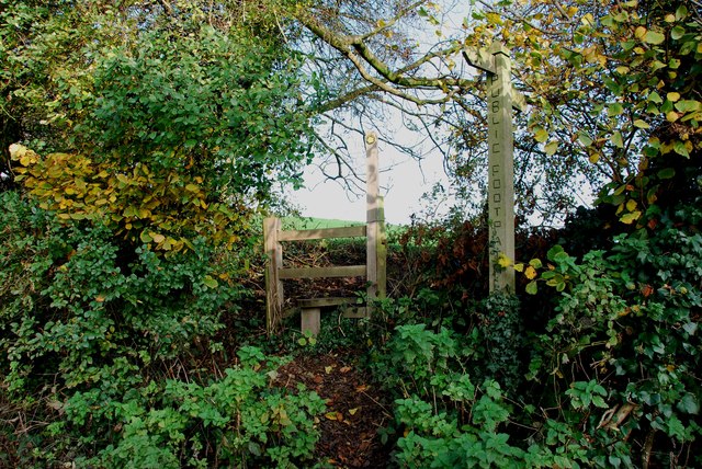
Hartley Green Images
Images are sourced within 2km of 52.863408/-2.035617 or Grid Reference SJ9729. Thanks to Geograph Open Source API. All images are credited.


Hartley Green is located at Grid Ref: SJ9729 (Lat: 52.863408, Lng: -2.035617)
Administrative County: Staffordshire
District: Stafford
Police Authority: Staffordshire
What 3 Words
///weeps.sharpen.blazed. Near Great Haywood, Staffordshire
Nearby Locations
Related Wikis

Gayton, Staffordshire
Gayton is a small rural village and civil parish in Staffordshire, located approximately 1 mile from the A51 between Stone and Stafford. In 2001 it had...

Fradswell
Fradswell is a village in Staffordshire, England, approximately 7 miles (10 km) north-east of the town of Stafford and 7 miles (11 km) north of Colwich...

Sandon Hall
Sandon Hall is a 19th-century country mansion, the seat of the Earl of Harrowby, at Sandon, Staffordshire, 5 miles (8.0 km) northeast of Stafford. It is...

Weston and Ingestre railway station
Weston and Ingestre railway station was a former British railway station opened by the North Staffordshire Railway to serve the village of Ingestre in...
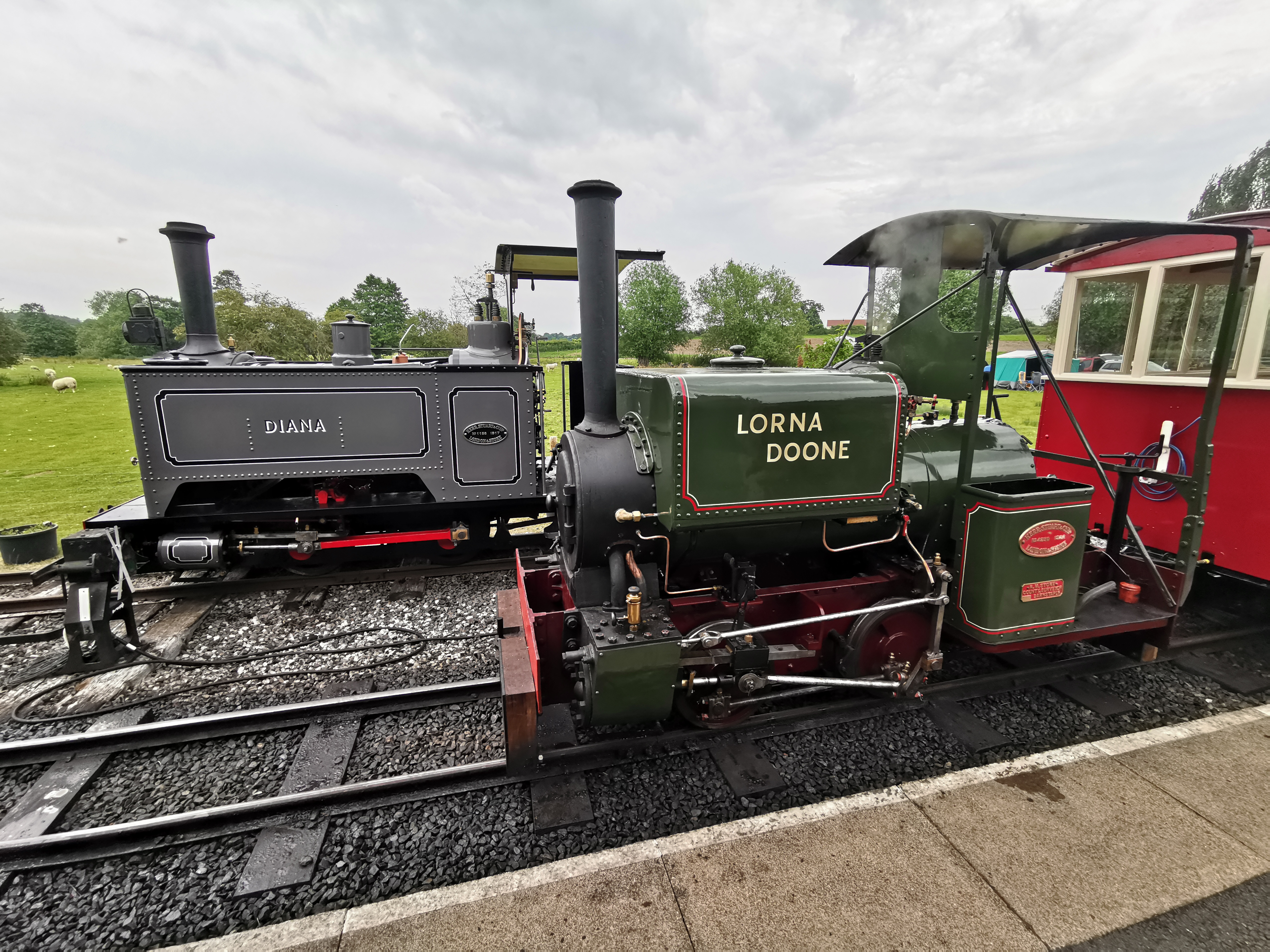
Amerton Railway
The Amerton Railway is a 2 ft (610 mm) narrow gauge heritage railway in the English county of Staffordshire. It is owned by Staffordshire Narrow Gauge...

Weston, Staffordshire
Weston is a village and civil parish. within the English county of Staffordshire. The parish is in the local authority of Stafford (non-metropolitan district...

Amerton
Amerton is a small village in the Borough of Stafford, Staffordshire, England, situated on the A518 road between Stafford and Uttoxeter. The population...
Salt and Sandon railway station
Salt and Sandon railway station was a former British railway station opened by the Stafford and Uttoxeter Railway to serve the village of Salt in Staffordshire...
Related Videos
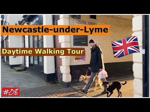
Newcastle-under-Lyme (Staffordshire) 🇬🇧 ☀️ Walking tour 🚶🏻♂️
Thanks for watching guys Instagram https://instagram.com/gaurav__munjal?igshid=YmMyMTA2M2Y= Facebook ...
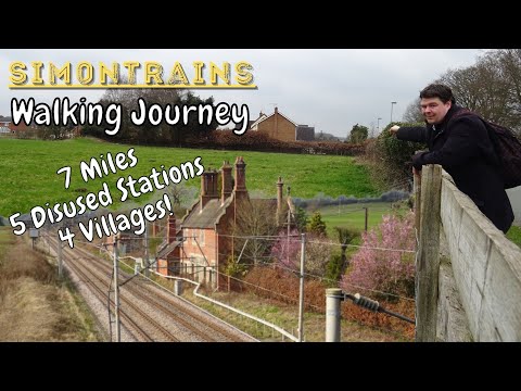
The Hunt for 5 Disused Stations in Staffordshire! | Sim0nTrains Walking Journey
7 Miles, 5 Disused Stations and 4 Villages and all by walking! This video is in search for 5 disused railway stations in Staffordshire ...

prison!! officer karen shows me the hand after walking infront of my camera #prison #pinac
to support the channel via PayPal please follow the link below and choose friends & family option thank-you for your support ...

manufacturing of toddler leather safety walking reins #manufacturing #leather #leathersmith
leathersmith #toddler #toddlers #myfirststeps #silver Cross #balmoral #babypram #baby #babygirl #babyboy #babygift #firststeps ...
Have you been to Hartley Green?
Leave your review of Hartley Green below (or comments, questions and feedback).