Barnley Moss
Downs, Moorland in Yorkshire Richmondshire
England
Barnley Moss
![Junction of gills The junction of Steel House Gill [left] and Long Gill [ahead] must mark the start of the River Burn, which is an insignificant beck at this point, towards the western end of the old coal mining area.](https://s1.geograph.org.uk/geophotos/01/27/63/1276337_4e2bfb77.jpg)
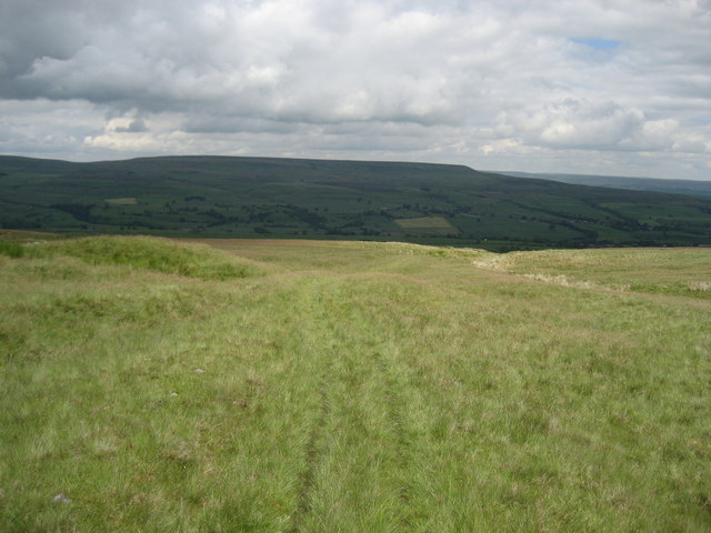
Barnley Moss is a captivating expanse of moorland situated in the picturesque region of Yorkshire, England. Located in the heart of the Yorkshire Downs, this vast area of land stretches for miles, offering visitors a unique and breathtaking experience.
Covered in a thick carpet of heather and grass, Barnley Moss showcases the quintessential beauty of the Yorkshire countryside. The moorland is characterized by its undulating terrain, punctuated by small hills and valleys, providing visitors with stunning vistas at every turn.
The sprawling landscape of Barnley Moss is home to a diverse range of flora and fauna. The heather dominates the landscape and adds a splash of vibrant purple during the summer months. The moorland also supports a variety of grasses, mosses, and wildflowers, creating a rich tapestry of colors and textures.
This enchanting moorland is not only visually stunning but also plays a vital role in supporting a range of wildlife. Visitors may spot a myriad of bird species, including the iconic red grouse, skylarks, and curlews. The moorland is also home to small mammals such as stoats, hares, and voles.
Barnley Moss offers a tranquil escape from the hustle and bustle of city life, with numerous walking trails and paths for outdoor enthusiasts to explore. The moorland is a popular destination for hikers, nature lovers, and photographers, who are all drawn to the area's natural beauty and serenity.
In conclusion, Barnley Moss is a captivating expanse of moorland in Yorkshire, boasting stunning landscapes, diverse flora and fauna, and a peaceful ambiance that attracts visitors from near and far.
If you have any feedback on the listing, please let us know in the comments section below.
Barnley Moss Images
Images are sourced within 2km of 54.23238/-1.8558697 or Grid Reference SE0981. Thanks to Geograph Open Source API. All images are credited.


![New plantation at Ulfers Gill A plantation of broadleaved trees [middle distance]on access land above Caldbergh.](https://s0.geograph.org.uk/photos/43/97/439724_1a991066.jpg)

![Photographer's dilemma. According to the 1:50000 map I could be standing exactly at the junction of 4 squares. The 1:25000 map would confirm that I'm about 10m within the chosen square and looking at the junction of the LRT which goes left towards a shooting house, and a 'mystery status' track [possibly a county road] that heads straight on towards Colsterdale.](https://s0.geograph.org.uk/photos/43/97/439760_437f993c.jpg)


Barnley Moss is located at Grid Ref: SE0981 (Lat: 54.23238, Lng: -1.8558697)
Division: North Riding
Administrative County: North Yorkshire
District: Richmondshire
Police Authority: North Yorkshire
What 3 Words
///title.jingles.adhesive. Near Leyburn, North Yorkshire
Nearby Locations
Related Wikis
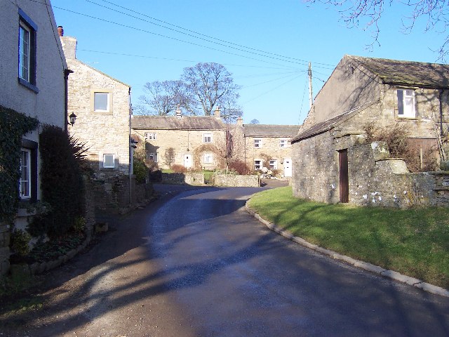
West Scrafton
West Scrafton is a village and civil parish in Coverdale in the Yorkshire Dales, England. It is located 4 miles (6.4 km) south west of Leyburn. It falls...

East Scrafton
East Scrafton is a hamlet in the Yorkshire Dales in the Richmondshire district of North Yorkshire, England. It is about 3 miles (5 km) south-west of Leyburn...

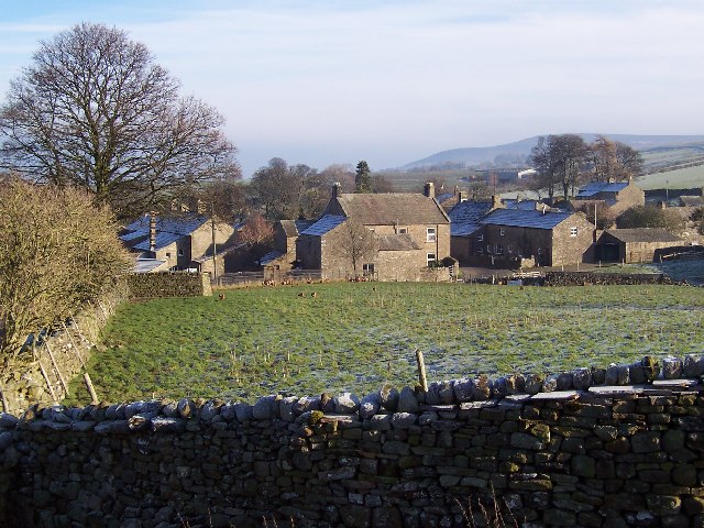
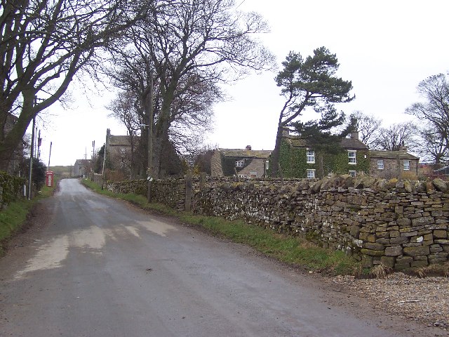
Caldbergh
Caldbergh (Caldeber in the Domesday Book) is a hamlet within the Yorkshire Dales, North Yorkshire, England. It lies about four miles south of Leyburn....

Caldbergh with East Scrafton
Caldbergh with East Scrafton is a civil parish in the Richmondshire district of North Yorkshire, England. The parish includes the settlements of Caldbergh...

Colsterdale
Colsterdale is the valley of the River Burn, a tributary of the River Ure, in the Yorkshire Dales in North Yorkshire, England. It gives its name to a hamlet...

Coverdale, North Yorkshire
Coverdale is a dale in the far east of the Yorkshire Dales, North Yorkshire, England. It takes its name from the River Cover, a tributary of the River...
Melmerby in Coverdale
Melmerby is a village and civil parish in North Yorkshire, England. It lies in Coverdale in the Yorkshire Dales about 3 miles (4.8 km) south-west of Leyburn...
Carlton, Richmondshire
Carlton is a village in the civil parish of Carlton Town in the Richmondshire district of North Yorkshire, England. According to the 2011 Census it had...
Nearby Amenities
Located within 500m of 54.23238,-1.8558697Have you been to Barnley Moss?
Leave your review of Barnley Moss below (or comments, questions and feedback).