Belford Moor
Downs, Moorland in Northumberland
England
Belford Moor
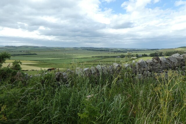
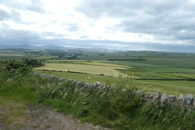
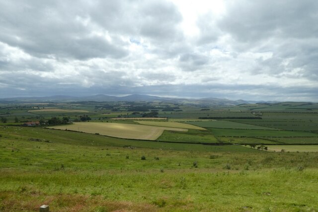
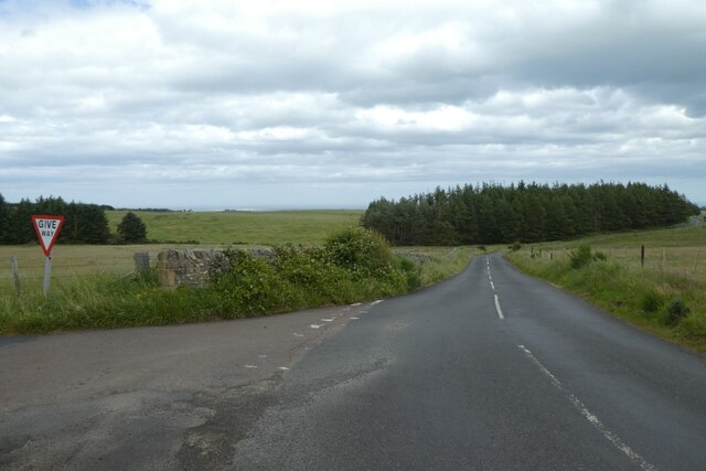
Belford Moor, located in Northumberland, is a picturesque and diverse landscape characterized by its downs and moorland. Spanning a vast area, it is situated in the northern part of England, near the small village of Belford. The moor is known for its rolling hills, heather-covered slopes, and wide open spaces, making it a popular destination for nature enthusiasts and hikers.
The moorland stretches out in all directions, offering breathtaking panoramic views of the surrounding countryside. The terrain is predominantly comprised of heath and peat bog, with patches of grassland and scattered woodland. These various habitats support a rich and diverse range of plants and wildlife, including species such as curlews, lapwings, and skylarks, which are often seen and heard throughout the moor.
Belford Moor is also home to a number of ancient archaeological sites, including Bronze Age burial mounds and settlements. These historical features provide a glimpse into the area's past and are of great interest to archaeologists and history enthusiasts.
Visitors to Belford Moor can explore the numerous walking trails and footpaths that meander through the landscape, allowing them to fully immerse themselves in the natural beauty of the area. The moorland is also a popular spot for birdwatching, photography, and simply enjoying the tranquility and solitude that can be found in this remote location.
Overall, Belford Moor offers a unique and captivating experience for those seeking to explore the untamed beauty of Northumberland's downs and moorland.
If you have any feedback on the listing, please let us know in the comments section below.
Belford Moor Images
Images are sourced within 2km of 55.588052/-1.8713548 or Grid Reference NU0832. Thanks to Geograph Open Source API. All images are credited.


Belford Moor is located at Grid Ref: NU0832 (Lat: 55.588052, Lng: -1.8713548)
Unitary Authority: Northumberland
Police Authority: Northumbria
What 3 Words
///text.songbook.attitudes. Near Belford, Northumberland
Nearby Locations
Related Wikis
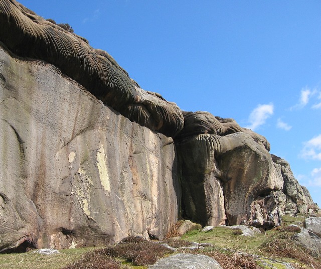
Colour Heugh and Bowden Doors
Colour Heugh and Bowden Doors are two crag rock formations in north Northumberland in North East England, designated as a Site of Special Scientific Interest...

Westhall, Northumberland
Westhall is a privately owned 19th-century castellated house at Belford in Northumberland, England now in use as a farm. It is on a site with older historical...
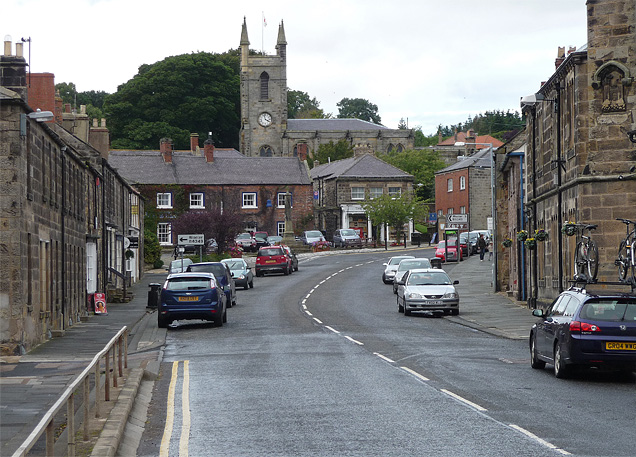
Belford, Northumberland
Belford is a village and civil parish in Northumberland, England, about halfway between Alnwick and Berwick-upon-Tweed, a few miles inland from the east...

Middleton Hall, Middleton, Northumberland
Middleton Hall is a country house near the settlement of Middleton, Northumberland, in that parish, that dates from 1871. It is listed Grade II on the...

Belford Hall
Belford Hall is a Grade I listed building, an 18th-century mansion house situated at Belford, Northumberland. The Manor of Belford was acquired by the...

Middleton, Northumberland
Middleton is a settlement and civil parish in Northumberland, England. The parish is situated on the North Sea coast, south of the island of Lindisfarne...
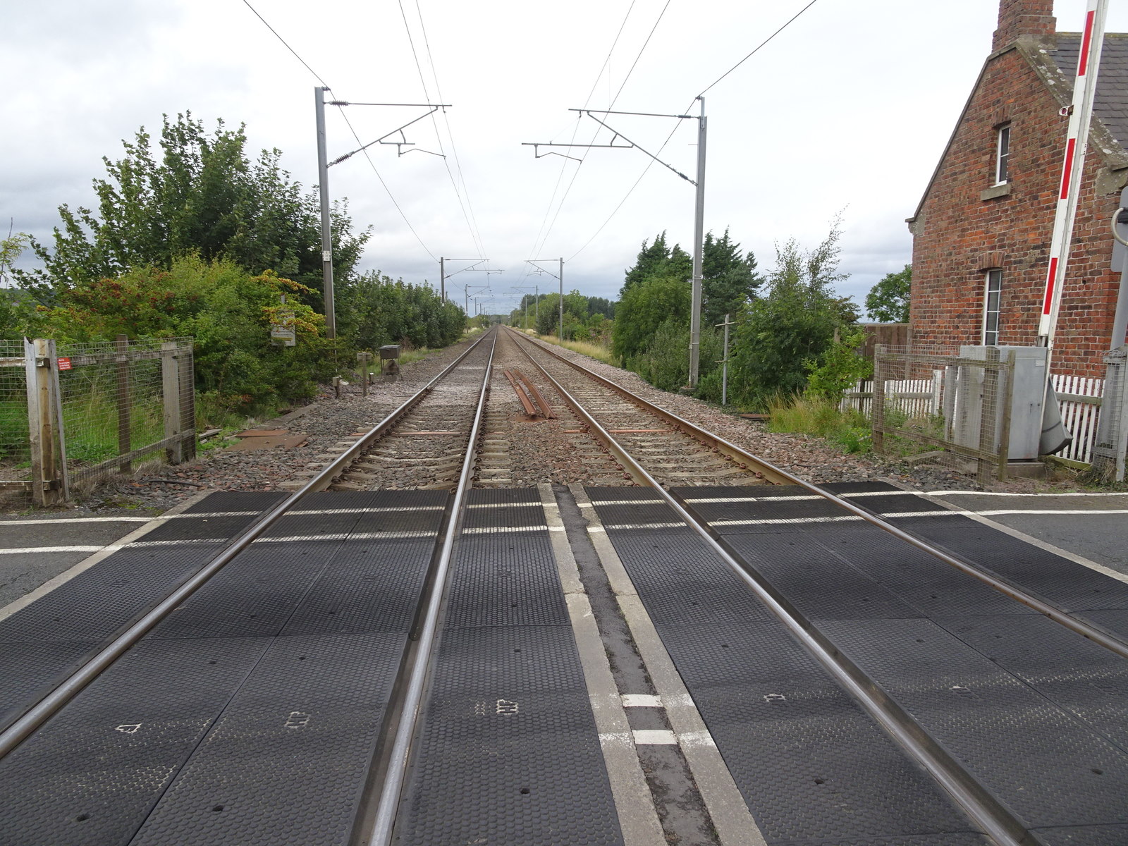
Crag Mill railway station
Crag Mill railway station served the village of Belford, Northumberland, England from around 1862 to 1877 on the East Coast Main Line. == History == The...

Easington, Northumberland
Easington is a place and former civil parish, now in the parish of Belford about 14 miles from Alnwick, in the county of Northumberland, England. In 2011...
Nearby Amenities
Located within 500m of 55.588052,-1.8713548Have you been to Belford Moor?
Leave your review of Belford Moor below (or comments, questions and feedback).