Addingham High Moor
Downs, Moorland in Yorkshire
England
Addingham High Moor
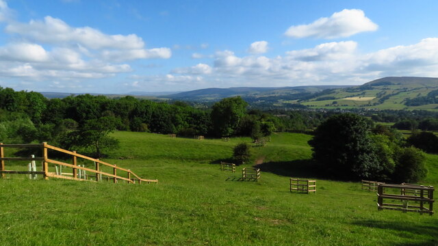
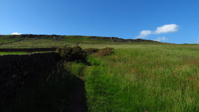
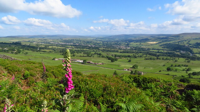
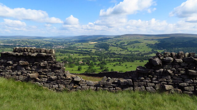
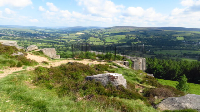
Addingham High Moor is a stunning natural landscape located in the county of Yorkshire, England. Spanning over 1,000 acres, this moorland is characterized by its vast expanse of rolling hills, heather-covered slopes, and picturesque valleys. Situated on the edge of the Yorkshire Dales National Park, the moorland offers breathtaking views of the surrounding countryside.
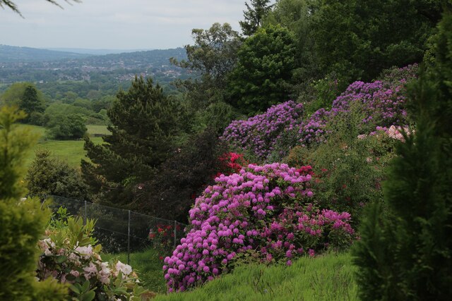
The moorland is home to a diverse range of flora and fauna, making it a haven for nature enthusiasts and wildlife lovers alike. Visitors can spot a variety of bird species, including curlews, lapwings, and golden plovers, as well as rare plants such as the bilberry and cowberry. The area is also known for its abundance of heather, which blankets the landscape in vibrant shades of purple during the summer months.
In addition to its natural beauty, Addingham High Moor also has a rich cultural heritage. The remains of ancient settlements and burial sites can be found scattered across the moorland, providing a glimpse into the area's past. The moorland is also a popular destination for hikers and walkers, with a network of footpaths and trails weaving through the landscape.
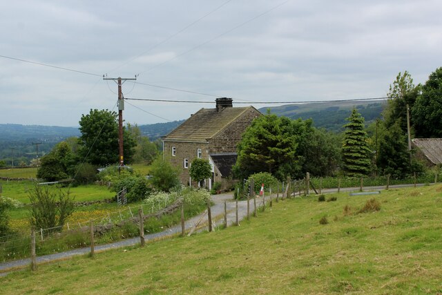
One notable feature of Addingham High Moor is its accessibility. A number of car parks and public transport links make it easy for visitors to explore and enjoy the area. Furthermore, the moorland is located near the charming village of Addingham, which offers amenities such as cafes, pubs, and accommodation options for those looking to spend more time in the area.
Overall, Addingham High Moor is a captivating destination that showcases the natural beauty and cultural heritage of Yorkshire. Whether it's hiking, birdwatching, or simply taking in the breathtaking views, this moorland offers a truly memorable experience for all who visit.
If you have any feedback on the listing, please let us know in the comments section below.
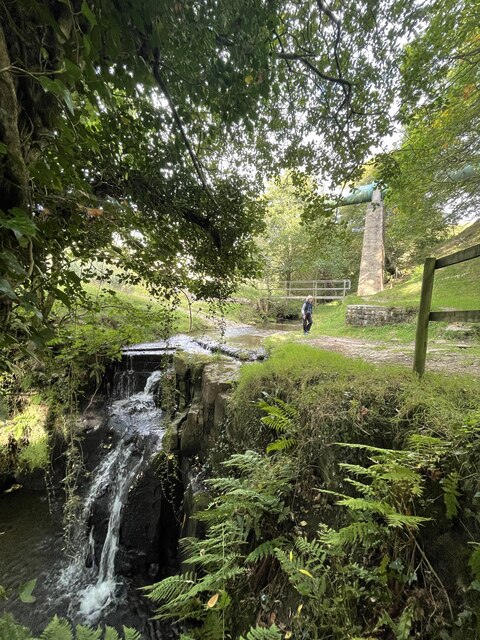
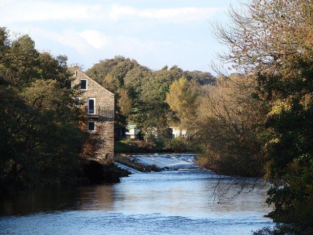
Addingham High Moor Images
Images are sourced within 2km of 53.9182/-1.8783436 or Grid Reference SE0846. Thanks to Geograph Open Source API. All images are credited.


Addingham High Moor is located at Grid Ref: SE0846 (Lat: 53.9182, Lng: -1.8783436)
Division: West Riding
Unitary Authority: Bradford
Police Authority: West Yorkshire
What 3 Words
///raven.mural.grunt. Near Addingham, West Yorkshire
Nearby Locations
Related Wikis

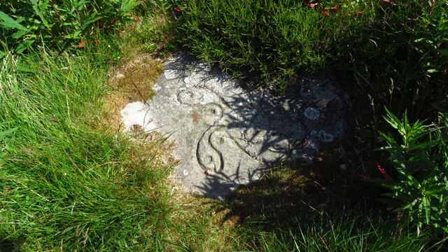
Swastika Stone
The Swastika Stone is a stone adorned with a design that resembles a swastika, located on the Woodhouse Crag on the northern edge of Ilkley Moor in West...
Addingham
Addingham (formerly Haddincham c. 972, Odingehem 1086) is a village and civil parish in the City of Bradford in West Yorkshire, England. It is situated...

Ilkley Golf Club
Ilkley Golf Club is a golf club in North Yorkshire, England, just outside the town of Ilkley in West Yorkshire. It is located about a mile to the northwest...

Nebstone
The Nebstone is a notable rock found close to the Swastika Stone on the northern edge of Ilkley Moor in West Yorkshire, England. It has the appearance...
Related Videos

Yorkshire Dales Walks - Addingham Moor circular in the snow
A circular walk in the snow over Addingham moor. Only a short walk of around 2.2 miles on 3.12.2023.

Chasing the sunset to Moon Alter for the world record bivi bag attempt 26.02.22
My participation in the Russ Moorhouse world record bivi bag attempt on 26 Feb 2022. I Solo bivied at Moon Alter on Ilkley Moor ...

Feeling Better Already – Beautiful Forest Bathing and Tai Chi
Helen and I took time out yesterday to bask in the restorative beauty of Heber's Ghyll, Ilkley. We combined forest bathing with ...

Too Fast 6b - a new traverse near Swastika Stones, Ilkley Moor
Only went up to brush it but it felt on, so I filmed it on my phone; my trainer made a decent cradle. The UK Lockdown is lifted ...
Nearby Amenities
Located within 500m of 53.9182,-1.8783436Have you been to Addingham High Moor?
Leave your review of Addingham High Moor below (or comments, questions and feedback).