Barden Fell

Downs, Moorland in Yorkshire Craven

England

Barden Fell

Sheep dip below Howgill Lane The facility is variously referred to on maps as 'sheep dip' or 'sheep wash'; the water presumably comes from the stream causing the boggy surface in the foreground.
Sheep dip below Howgill Lane Credit: Stephen Craven

Barden Fell is a renowned area of natural beauty situated in Yorkshire, England. It is a vast expanse of rolling hills, moorland, and heathland that covers an area of approximately 5,000 acres. Located within the Yorkshire Dales National Park, Barden Fell offers visitors a unique and diverse landscape to explore.

The terrain of Barden Fell is characterized by its undulating hills and expansive moorland, providing breathtaking panoramic views of the surrounding countryside. The area is also home to a variety of wildlife, including birds of prey, such as kestrels and buzzards, as well as rare species like the black grouse.

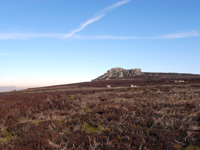
Walking and hiking enthusiasts will be delighted by the numerous trails and footpaths that crisscross the area. One of the most popular routes is the Barden Moor Walk, which takes visitors through heather-covered moorland and offers stunning vistas over the valley below. The walk also passes by the iconic Simon's Seat, a prominent rocky outcrop that is said to have inspired the poet William Wordsworth.

In addition to its natural beauty, Barden Fell is steeped in history. The area boasts ancient archaeological sites, including burial mounds and stone circles, providing glimpses into its past. Barden Tower, a 15th-century fortified house, stands proudly on the Fell and offers visitors a glimpse into its rich medieval history.

Overall, Barden Fell is a captivating destination for nature lovers, history enthusiasts, and outdoor adventurers alike. Its breathtaking landscapes, diverse wildlife, and rich history make it a must-visit location within the Yorkshire Dales National Park.

If you have any feedback on the listing, please let us know in the comments section below.
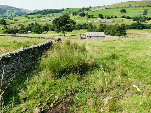
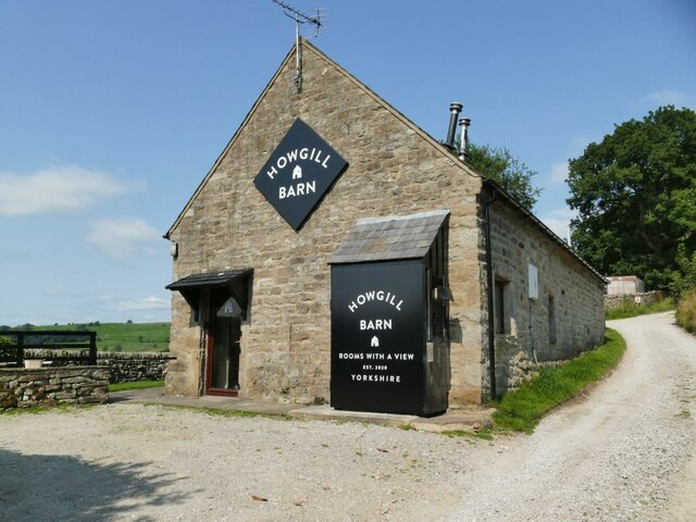
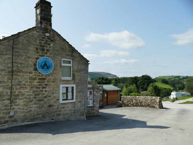
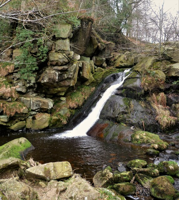
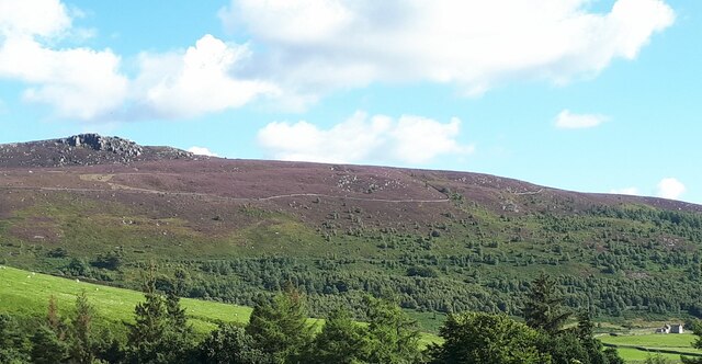
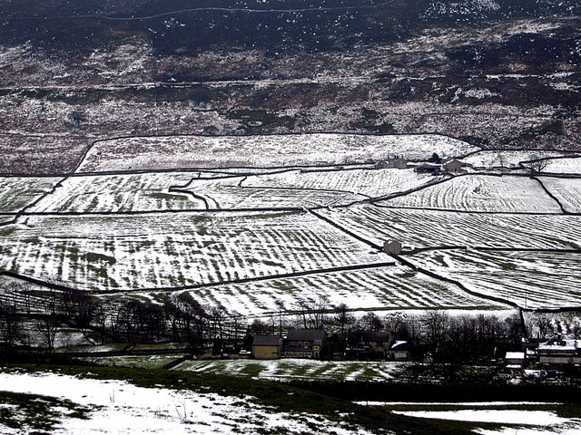
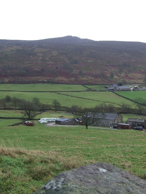
Barden Fell Images

Images are sourced within 2km of 54.025461/-1.8803669 or Grid Reference SE0758. Thanks to Geograph Open Source API. All images are credited.

Sheep dip below Howgill Lane The facility is variously referred to on maps as 'sheep dip' or 'sheep wash'; the water presumably comes from the stream causing the boggy surface in the foreground.
Sheep dip below Howgill Lane
The facility is variously referred to on maps as 'sheep dip' or 'sheep wash'; the water presumably comes from the stream causing the boggy surface in the foreground.
Howgill Barn Now holiday accommodation.
Howgill Barn
Now holiday accommodation.
Howgill Lodge Holiday accommodation with adjacent caravan and camp site.
Howgill Lodge
Holiday accommodation with adjacent caravan and camp site.
Simon's Seat
Simon's Seat
Waterfall on Sheepshaw Beck This is just after the Valley of Desolation where the stream is Posforth Gill Beck
Waterfall on Sheepshaw Beck
This is just after the Valley of Desolation where the stream is Posforth Gill Beck
Former chapel near Howgill This former Primitive Methodist chapel was erected in 1836. It closed in the 1990s and was converted into a house: <span class="nowrap"><a title="https://www.myprimitivemethodists.org.uk/content/chapels/yorkshire/hi-hy/howgill_barden_pm_chapel_north_yorkshire" rel="nofollow ugc noopener" href="https://www.myprimitivemethodists.org.uk/content/chapels/yorkshire/hi-hy/howgill_barden_pm_chapel_north_yorkshire">Link</a><img style="margin-left:2px;" alt="External link" title="External link - shift click to open in new window" src="https://s1.geograph.org.uk/img/external.png" width="10" height="10"/></span>
Former chapel near Howgill
This former Primitive Methodist chapel was erected in 1836. It closed in the 1990s and was converted into a house: LinkExternal link
Simon's Seat from Parcevall Hall A view from just over a mile away across the valley.
Simon's Seat from Parcevall Hall
A view from just over a mile away across the valley.
Mediaeval field patterns near Parceval Hall, Appletreewick Ancient strips show clearly under a covering of snow.
Mediaeval field patterns near Parceval Hall, Appletreewick
Ancient strips show clearly under a covering of snow.
Rocky outcrop Outcrop of gritstone rocks near Lord's Seat
Rocky outcrop
Outcrop of gritstone rocks near Lord's Seat
Footbridge over Blands Beck, Skyreholme
High Skyreholme from Howgill Lane
Skyreholme from Howgill Lane
Simons Seat from Blands Beck
Simon's Seat This view was taken from Skyreholme Bank (minor road) looking south-east to Simon's Seat (485 metres). The furthest farm is Dalehead Farm.
Simon's Seat
This view was taken from Skyreholme Bank (minor road) looking south-east to Simon's Seat (485 metres). The furthest farm is Dalehead Farm.
Flytipping by a public footpath near Skyreholme. I think most of it has now been removed, but why do some farmers permit or even encourage this sort of industrial eyesore on their land? And smack by a right of way...
Flytipping by a public footpath near Skyreholme.
I think most of it has now been removed, but why do some farmers permit or even encourage this sort of industrial eyesore on their land? And smack by a right of way...
View towards Dalehead Farm The view south east from the roadside above Middle Skyreholme, with the buildings at Dalehead Farm standing at the level where cultivated land gives way to heathery moorland. Behind the farm, steep rock strewn slopes lead up some 280 metres to the craggy summit of Simon's Seat.
View towards Dalehead Farm
The view south east from the roadside above Middle Skyreholme, with the buildings at Dalehead Farm standing at the level where cultivated land gives way to heathery moorland. Behind the farm, steep rock strewn slopes lead up some 280 metres to the craggy summit of Simon's Seat.
Eastwood Head Farm On Howgill Lane, a rough track serving this and Dalehead Farm.
Eastwood Head Farm
On Howgill Lane, a rough track serving this and Dalehead Farm.
Dalehead Farm
Dalehead Farm
Show me another place!

Barden Fell is located at Grid Ref: SE0758 (Lat: 54.025461, Lng: -1.8803669)

Division: West Riding

Administrative County: North Yorkshire

District: Craven

Police Authority: North Yorkshire

What 3 Words

///spouting.majority.outbursts. Near Embsay, North Yorkshire

Nearby Locations

Carncliff Top Barden Fell

Related Wikis

Nearby Amenities

Located within 500m of 54.025461,-1.8803669
Great Agill Head
Natural: fell
Source: npe
Lat/Long: 54.0269559/-1.8802315
Barden Fell
Natural: fell
Source: OS 1:25k
Lat/Long: 54.0230501/-1.8758891
Rocking Stone
Natural: rock
Source: NLS-OS-1st_Series
Lat/Long: 54.0224568/-1.8783824
Agill Head Well
Natural: spring
Source: NLS-OS-1st_Series
Lat/Long: 54.0214609/-1.8816011
Bench: no
Leisure: picnic_table
Lit: no
Material: stone
Lat/Long: 54.0216005/-1.8805418
The data included in this document is from www.openstreetmap.org. The data is made available under ODbL.

Have you been to Barden Fell?

Leave your review of Barden Fell below (or comments, questions and feedback).