Caddywife Fell
Downs, Moorland in Yorkshire Richmondshire
England
Caddywife Fell
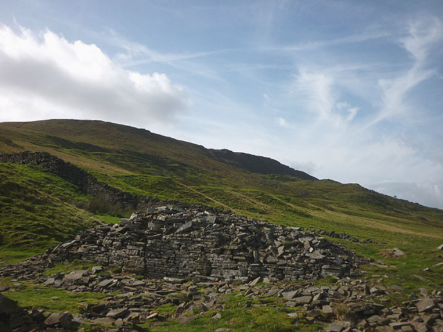
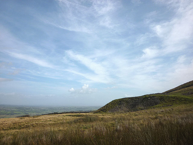
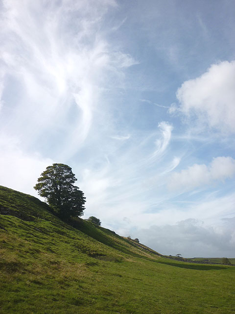
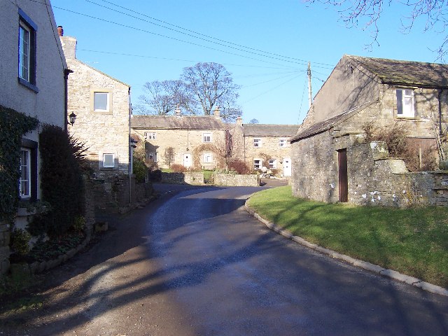
Caddywife Fell is a picturesque area located in the heart of Yorkshire, encompassing both the Downs and Moorland landscapes. With its idyllic scenery and diverse natural features, it attracts nature enthusiasts, hikers, and tourists throughout the year.
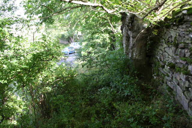
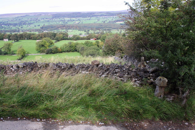
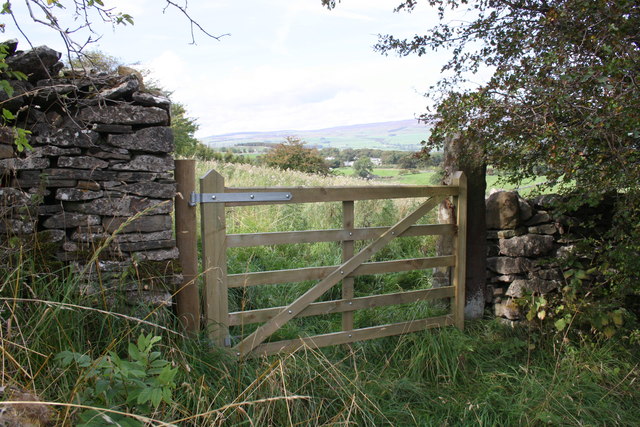
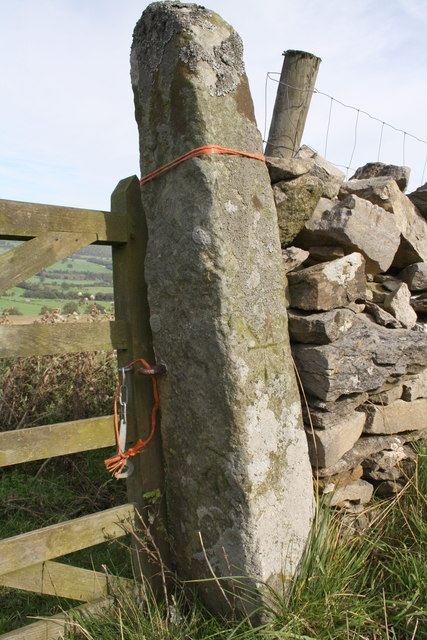
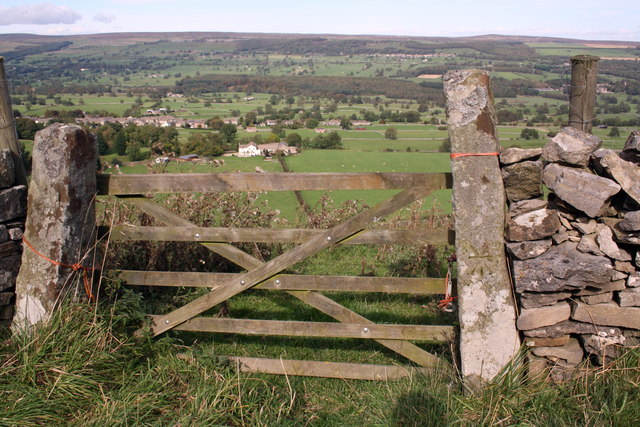
The Downs of Caddywife Fell are characterized by rolling hills and vast open spaces, offering breathtaking panoramic views of the surrounding countryside. These grassy expanses are dotted with sheep, adding to the charm and rural ambiance of the area. Visitors can enjoy leisurely walks or go horseback riding along the well-maintained trails that crisscross the Downs.
In contrast, the Moorland of Caddywife Fell presents a wild and rugged terrain, covered in heather and bracken. This untamed landscape is home to a variety of wildlife, including birds of prey, grouse, and deer. Adventurous hikers can explore the Moorland's intricate network of footpaths and discover hidden valleys, rocky outcrops, and cascading waterfalls.
One of the notable attractions in Caddywife Fell is the historic Caddywife Abbey. Built in the 12th century, this medieval monastery offers a glimpse into the region's rich heritage. The abbey features stunning architecture, including intricate stone carvings and stained glass windows.
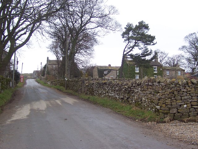
The village of Caddywife, nestled amidst the natural beauty of the Fell, provides visitors with a warm and inviting atmosphere. It offers a range of amenities, including cozy bed and breakfasts, traditional pubs, and local shops selling handmade crafts and souvenirs.
Whether exploring the gentle slopes of the Downs or venturing into the untamed Moorland, Caddywife Fell promises a captivating experience for nature lovers and history enthusiasts alike.
If you have any feedback on the listing, please let us know in the comments section below.
Caddywife Fell Images
Images are sourced within 2km of 54.269149/-1.8923159 or Grid Reference SE0785. Thanks to Geograph Open Source API. All images are credited.


Caddywife Fell is located at Grid Ref: SE0785 (Lat: 54.269149, Lng: -1.8923159)
Division: North Riding
Administrative County: North Yorkshire
District: Richmondshire
Police Authority: North Yorkshire
What 3 Words
///span.crawler.equipment. Near Leyburn, North Yorkshire
Nearby Locations
Related Wikis
Melmerby in Coverdale
Melmerby is a village and civil parish in North Yorkshire, England. It lies in Coverdale in the Yorkshire Dales about 3 miles (4.8 km) south-west of Leyburn...
Carlton, Richmondshire
Carlton is a village in the civil parish of Carlton Town in the Richmondshire district of North Yorkshire, England. According to the 2011 Census it had...

Coverham with Agglethorpe
Coverham with Agglethorpe is a civil parish in North Yorkshire, England. It includes the villages of Coverham and Agglethorpe. The population of the civil...

Agglethorpe
Agglethorpe is a hamlet in the Richmondshire district of North Yorkshire, England, it lies in northern Coverdale, approximately 4 miles (6.4 km) south...

Coverdale, North Yorkshire
Coverdale is a dale in the far east of the Yorkshire Dales, North Yorkshire, England. It takes its name from the River Cover, a tributary of the River...

East Scrafton
East Scrafton is a hamlet in the Yorkshire Dales in the Richmondshire district of North Yorkshire, England. It is about 3 miles (5 km) south-west of Leyburn...

Caldbergh
Caldbergh (Caldeber in the Domesday Book) is a hamlet within the Yorkshire Dales, North Yorkshire, England. It lies about four miles south of Leyburn....

Caldbergh with East Scrafton
Caldbergh with East Scrafton is a civil parish in the Richmondshire district of North Yorkshire, England. The parish includes the settlements of Caldbergh...
Nearby Amenities
Located within 500m of 54.269149,-1.8923159Have you been to Caddywife Fell?
Leave your review of Caddywife Fell below (or comments, questions and feedback).