Appletreewick Moor
Downs, Moorland in Yorkshire Craven
England
Appletreewick Moor

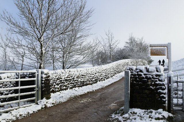
Appletreewick Moor is a picturesque area located in the Yorkshire Dales National Park in Yorkshire, England. It is known for its stunning natural beauty and diverse wildlife. The moorland stretches across vast open spaces, offering panoramic views of rolling hills, heather-covered landscapes, and scattered limestone outcrops.
The moorland is home to an array of flora and fauna, with heather dominating the landscape, creating a vibrant purple carpet during the summer months. Other plant species found in the area include bilberry, bracken, and cotton grass. This diverse vegetation provides a habitat for various bird species, including curlews, lapwings, and grouse, which can often be spotted soaring through the skies.
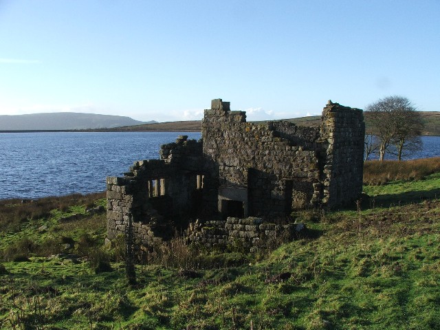
Appletreewick Moor is also renowned for its historic features, such as ancient stone circles and burial mounds, which provide a glimpse into the area's rich past. The moorland has been inhabited for thousands of years, and evidence of human activity can be seen through these archaeological sites.
The area offers numerous walking and hiking trails, allowing visitors to explore the moorland at their own pace. The popular Dales Way footpath passes through Appletreewick Moor, offering stunning views and a chance to experience the tranquility of the Yorkshire countryside.
Overall, Appletreewick Moor is a captivating destination for nature enthusiasts and history buffs alike. Its breathtaking landscapes, diverse wildlife, and historical sites make it a must-visit location for anyone looking to immerse themselves in the beauty of Yorkshire's moorland.
If you have any feedback on the listing, please let us know in the comments section below.
Appletreewick Moor Images
Images are sourced within 2km of 54.086232/-1.8968246 or Grid Reference SE0665. Thanks to Geograph Open Source API. All images are credited.


Appletreewick Moor is located at Grid Ref: SE0665 (Lat: 54.086232, Lng: -1.8968246)
Division: West Riding
Administrative County: North Yorkshire
District: Craven
Police Authority: North Yorkshire
What 3 Words
///conveying.compacts.canal. Near Grassington, North Yorkshire
Nearby Locations
Related Wikis
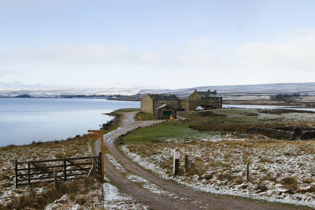
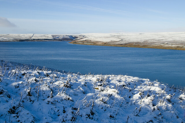
Grimwith Reservoir
Grimwith Reservoir is located in the Yorkshire Dales in North Yorkshire, England. It was originally built by the Bradford Corporation as one of eleven...

Stump Cross Caverns
Stump Cross Caverns is a limestone cave system between Wharfedale and Nidderdale in North Yorkshire, England. == Geography == The caverns at Stump Cross...
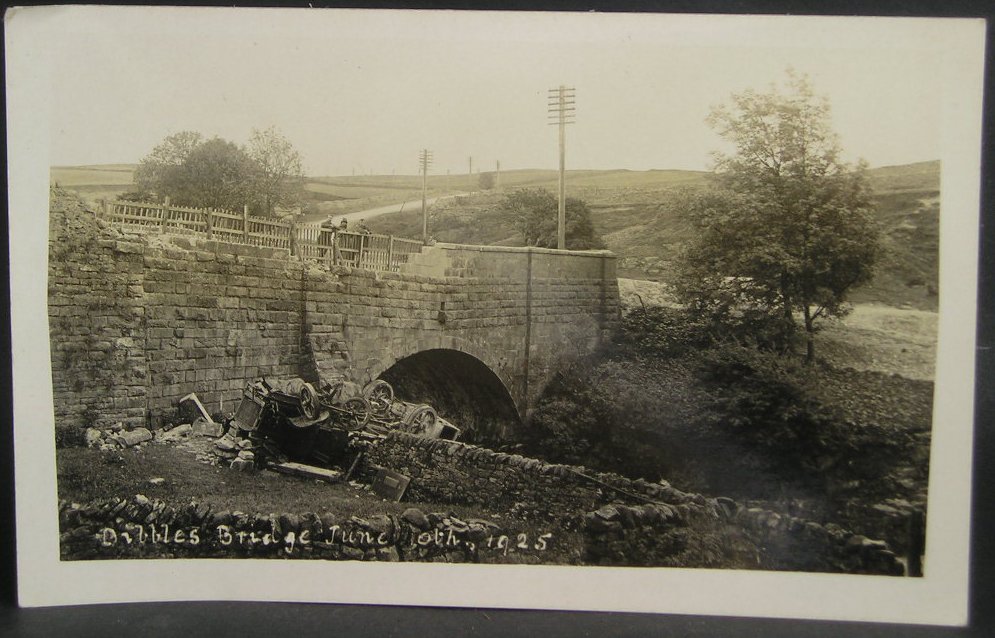
1925 Dibbles Bridge coach crash
On 10 June 1925, a coach crashed at the bottom of a steep hill at Dibbles Bridge, near Hebden in North Yorkshire, England. Seven people were killed and...

1975 Dibbles Bridge coach crash
On 27 May 1975, a coach carrying elderly passengers crashed at the bottom of a steep hill at Dibble's Bridge, near Hebden in North Yorkshire, England....

Trollers Gill
Trollers Gill is a limestone gill or gorge in North Yorkshire, England, close to the village of Skyreholme and 4.7 miles (7.5 km) south-east of Grassington...

Parcevall Hall
Parcevall Hall -- also known as Parceval Hall -- and its gardens are located at Skyreholme near Appletreewick village, Wharfedale, North Yorkshire, England...

Greenhow
Greenhow is a village in North Yorkshire, England, often referred to as Greenhow Hill. The term how derives from the Old Norse word haugr meaning a hill...
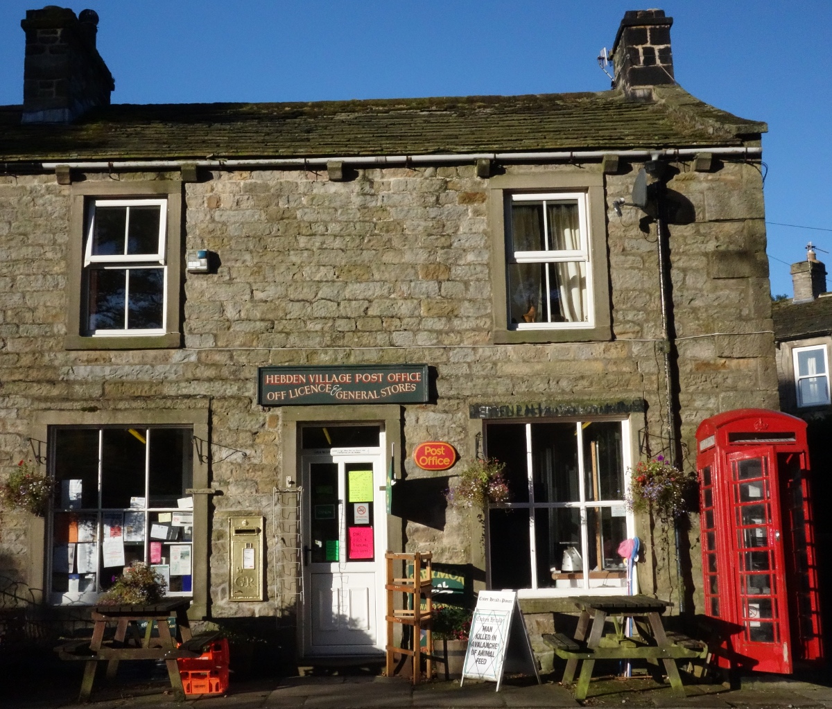
Hebden, North Yorkshire
Hebden ( HEB-dərn) is a village and civil parish in the Craven District of North Yorkshire, England, and one of four villages in the ecclesiastical parish...
Nearby Amenities
Located within 500m of 54.086232,-1.8968246Have you been to Appletreewick Moor?
Leave your review of Appletreewick Moor below (or comments, questions and feedback).