Bareholme Moss
Downs, Moorland in Cheshire High Peak
England
Bareholme Moss

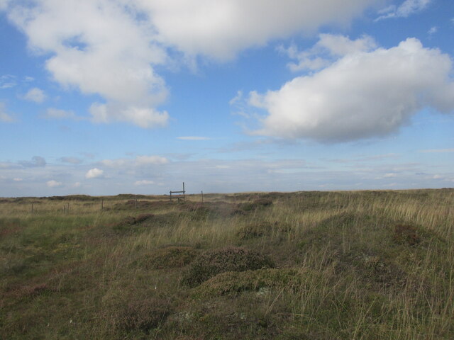
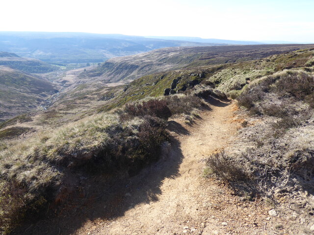
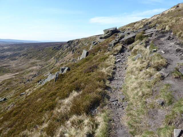
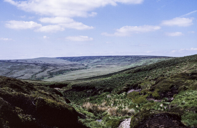
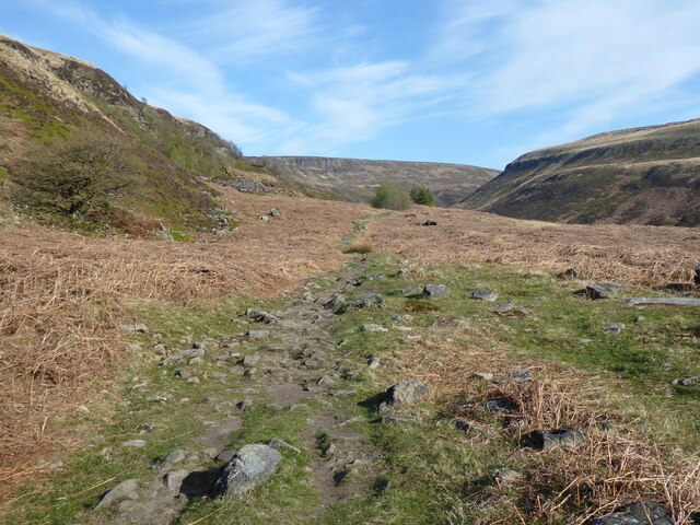
Bareholme Moss is a pristine and expansive area of moorland located in Cheshire, England. Covering an area of approximately 100 hectares, it is nestled within the picturesque landscape of the Cheshire Downs. The moss boasts a diverse range of ecological features and is home to a variety of unique flora and fauna.
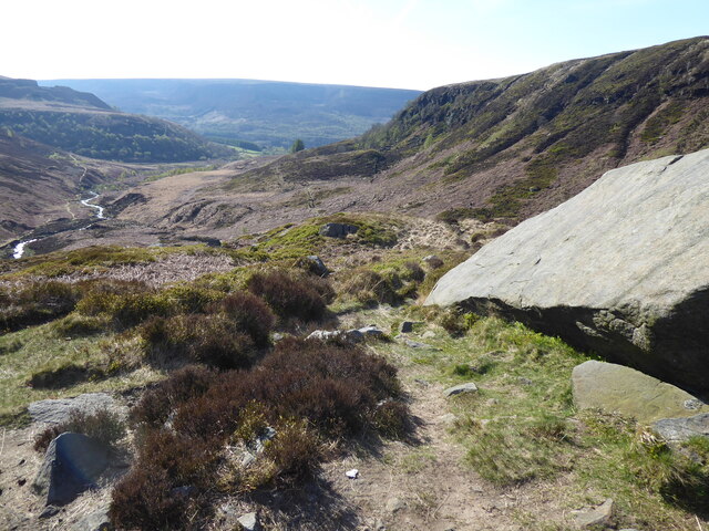
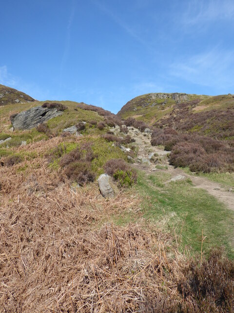
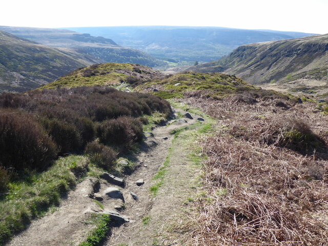
The terrain of Bareholme Moss is characterized by its undulating and often boggy nature. The area is crisscrossed by numerous small streams and rivulets, creating a network of wetland habitats. These water bodies provide a crucial breeding ground for a range of amphibians, including common frogs and smooth newts.
The vegetation at Bareholme Moss comprises a mixture of heather, grasses, and sphagnum mosses. This combination of plant species creates a vibrant and colorful tapestry across the moorland. In the summer months, the heather blooms in vibrant hues of purple, attracting a myriad of pollinators like bees and butterflies.
The moss also supports a diverse array of bird species, making it a popular destination for birdwatchers. The distinctive calls of skylarks, meadow pipits, and curlews can often be heard echoing across the open landscape. Rare species such as the merlin, a small falcon, have also been spotted in the vicinity.
Bareholme Moss is a designated Site of Special Scientific Interest (SSSI) due to its rich biodiversity and geological significance. It is managed and conserved by local authorities and conservation organizations to ensure the protection of its unique features for future generations. Visitors to the moss can enjoy its tranquil beauty, embark on nature walks, and experience the wonders of this remarkable moorland ecosystem.
If you have any feedback on the listing, please let us know in the comments section below.
Bareholme Moss Images
Images are sourced within 2km of 53.509163/-1.899434 or Grid Reference SE0601. Thanks to Geograph Open Source API. All images are credited.


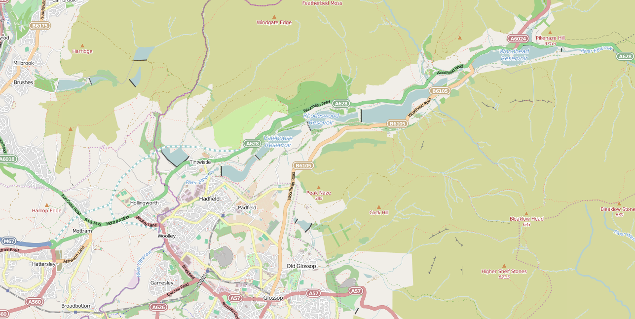
Bareholme Moss is located at Grid Ref: SE0601 (Lat: 53.509163, Lng: -1.899434)
Administrative County: Derbyshire
District: High Peak
Police Authority: Derbyshire
What 3 Words
///evaded.erupt.larger. Near Glossop, Derbyshire
Nearby Locations
Related Wikis

Black Chew Head
Black Chew Head in Saddleworth in the Metropolitan Borough of Oldham is the highest point or county top of Greater Manchester in northern England. It stands...

Featherbed Moss
Featherbed Moss is a flat-topped hill, 541 metres (1,775 ft) high, in the Peak District in the county of Derbyshire in England. It is sometimes mistakenly...

Crowden, Derbyshire
Crowden (also known as Crowden-in-Longdendale) is a hamlet in the High Peak borough of Derbyshire, England. Historically a part of Cheshire, Crowden was...

Crowden railway station
Crowden railway station is a closed railway station on the Woodhead Line between Manchester and Sheffield, that served the hamlet of Crowden, Derbyshire...

Chew Reservoir
Chew Reservoir is a reservoir at the head of the Chew Valley in the Peak District National Park in Greater Manchester, England. The reservoir scheme in...

Woodhead Reservoir
Woodhead reservoir is a man-made lake near the hamlet of Woodhead in Longdendale in north Derbyshire, England. It was constructed by John Frederick Bateman...
Longdendale Chain
The Longdendale Chain is a sequence of six reservoirs on the River Etherow in the Longdendale Valley, in northern Derbyshire. They were constructed between...

Torside Reservoir
Torside Reservoir is the largest man-made lake in Longdendale in north Derbyshire, England. It was constructed by John Frederick Bateman between April...
Nearby Amenities
Located within 500m of 53.509163,-1.899434Have you been to Bareholme Moss?
Leave your review of Bareholme Moss below (or comments, questions and feedback).