Barnsley Wold
Downs, Moorland in Gloucestershire Cotswold
England
Barnsley Wold

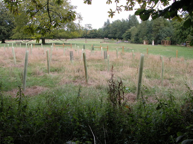
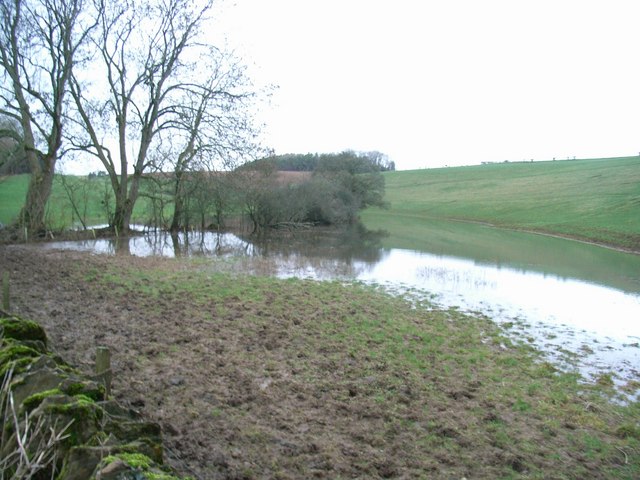
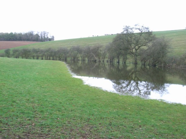
Barnsley Wold is a picturesque area located in Gloucestershire, England. It is situated in the southern part of the county, nestled amidst the rolling hills and scenic landscapes of the Cotswold Area of Outstanding Natural Beauty. Covering a vast expanse of downs and moorland, Barnsley Wold offers visitors a unique and captivating experience.
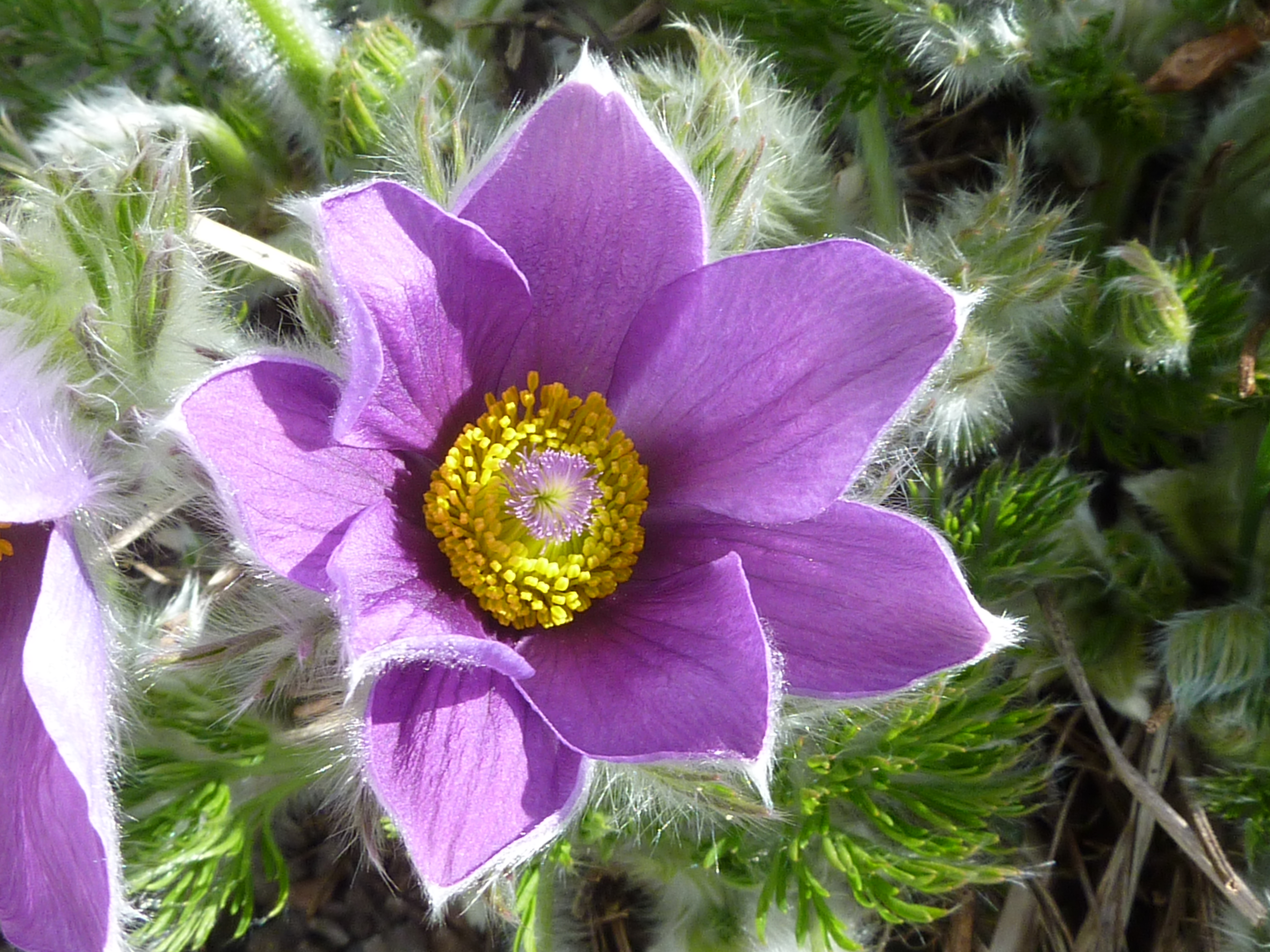
The area is characterized by its undulating terrain and open grassland, providing a haven for a diverse range of flora and fauna. Visitors can expect to encounter a variety of plant species, including wildflowers like cowslips and harebells, as well as patches of heather and gorse. This rich vegetation attracts a plethora of wildlife, including butterflies, bees, and various bird species such as skylarks and stonechats.
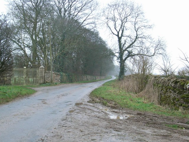
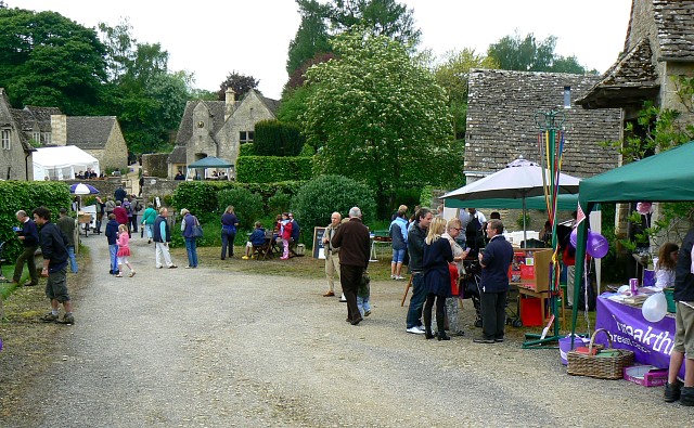
Walking enthusiasts will find Barnsley Wold a paradise, with numerous footpaths and trails meandering through the area. These paths offer breathtaking views of the surrounding countryside and provide opportunities for peaceful and invigorating walks. The tranquil atmosphere and unspoiled nature of Barnsley Wold make it a perfect destination for those seeking solitude and a chance to reconnect with nature.
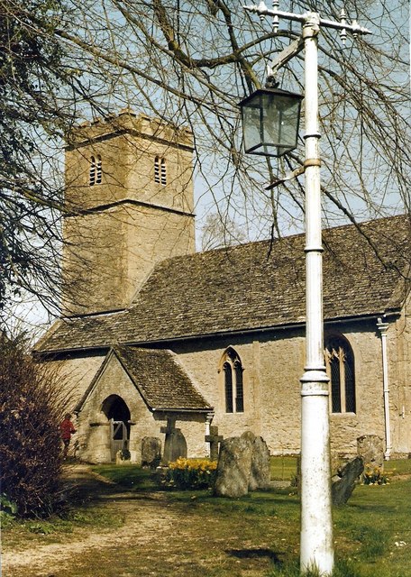
In addition to its natural beauty, Barnsley Wold boasts a rich historical heritage. The area is dotted with ancient burial mounds, known as barrows, which date back to the Bronze Age. These archaeological wonders offer a glimpse into the lives and customs of early inhabitants.
Overall, Barnsley Wold in Gloucestershire is a must-visit destination for nature lovers and history enthusiasts alike. With its stunning landscapes, abundant wildlife, and historical significance, it offers a memorable and enriching experience for all who venture to explore its wonders.
If you have any feedback on the listing, please let us know in the comments section below.
Barnsley Wold Images
Images are sourced within 2km of 51.762787/-1.9042776 or Grid Reference SP0607. Thanks to Geograph Open Source API. All images are credited.


Barnsley Wold is located at Grid Ref: SP0607 (Lat: 51.762787, Lng: -1.9042776)
Administrative County: Gloucestershire
District: Cotswold
Police Authority: Gloucestershire
What 3 Words
///challenge.crouching.spotty. Near Stratton, Gloucestershire
Nearby Locations
Related Wikis
Barnsley Warren
Barnsley Warren (grid reference SP055064) is a 61.3-hectare (151-acre) biological Site of Special Scientific Interest in Gloucestershire, notified in 1954...

Barnsley Park
Barnsley Park is a country house and park, measuring about 3 miles (4.8 km) in circumference in Barnsley, Gloucestershire, England. == History == An Iron...
Barnsley, Gloucestershire
Barnsley is a village and civil parish in the Cotswold district of Gloucestershire, England, 3.7 miles (6.0 km) northeast of Cirencester. It is 125 kilometres...

Foss Cross Quarry
Foss Cross Quarry (grid reference SP056092) is a 0.67-hectare (1.7-acre) geological Site of Special Scientific Interest in Gloucestershire, notified in...
Foss Cross railway station
Foss Cross railway station was on the Midland and South Western Junction Railway in Gloucestershire. The station opened on 1 August 1891 with the section...

Winson Meadows
Winson Meadows (grid reference SP093081) is a 7.93-hectare (19.6-acre) biological Site of Special Scientific Interest in Gloucestershire, notified in 1974...
Winson, Gloucestershire
Winson is a village in the Cotswold district of the English county of Gloucestershire. == Location == Winson lies next to the River Coln, north west of...
Coln Rogers
Coln Rogers is a village and former civil parish, now in the parish of Coln St. Dennis, in the Cotswold district of the county of Gloucestershire, England...
Have you been to Barnsley Wold?
Leave your review of Barnsley Wold below (or comments, questions and feedback).