Tidpit Common Down
Downs, Moorland in Wiltshire New Forest
England
Tidpit Common Down
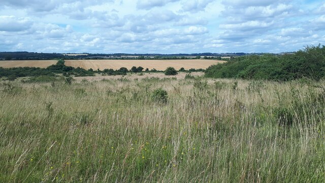
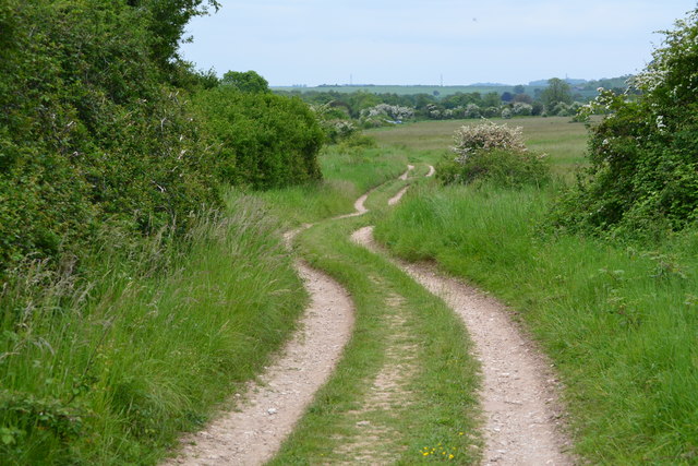
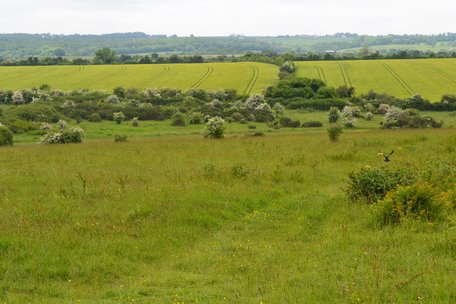
Tidpit Common Down is a vast expanse of downland and moorland located in the county of Wiltshire, England. Situated near the village of Coombe Bissett, it covers an area of approximately 200 acres. The common is characterized by its rolling hills, open grassland, and a mix of heathland and scrub.
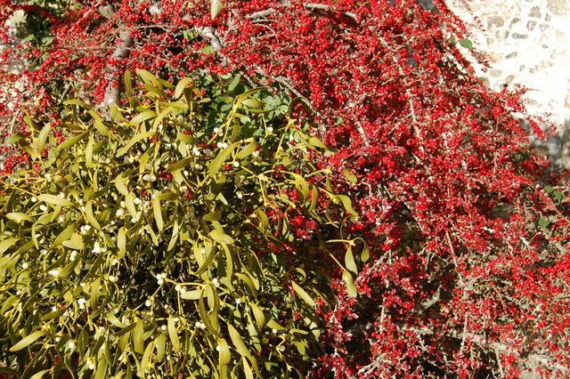
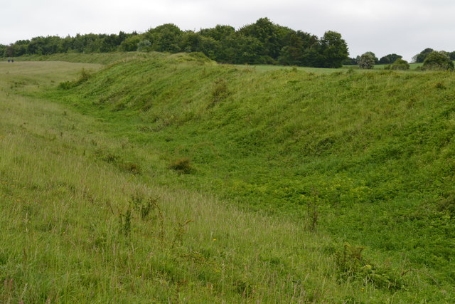
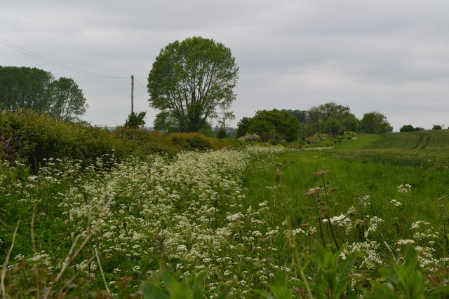
The landscape of Tidpit Common Down is dominated by its chalky soil, which supports a diverse range of flora and fauna. The area is renowned for its rich biodiversity, with several rare plant species found here, including orchids, harebells, and cowslips. The common is also home to a variety of birds, such as skylarks, stonechats, and meadow pipits, which thrive in the open grassland.
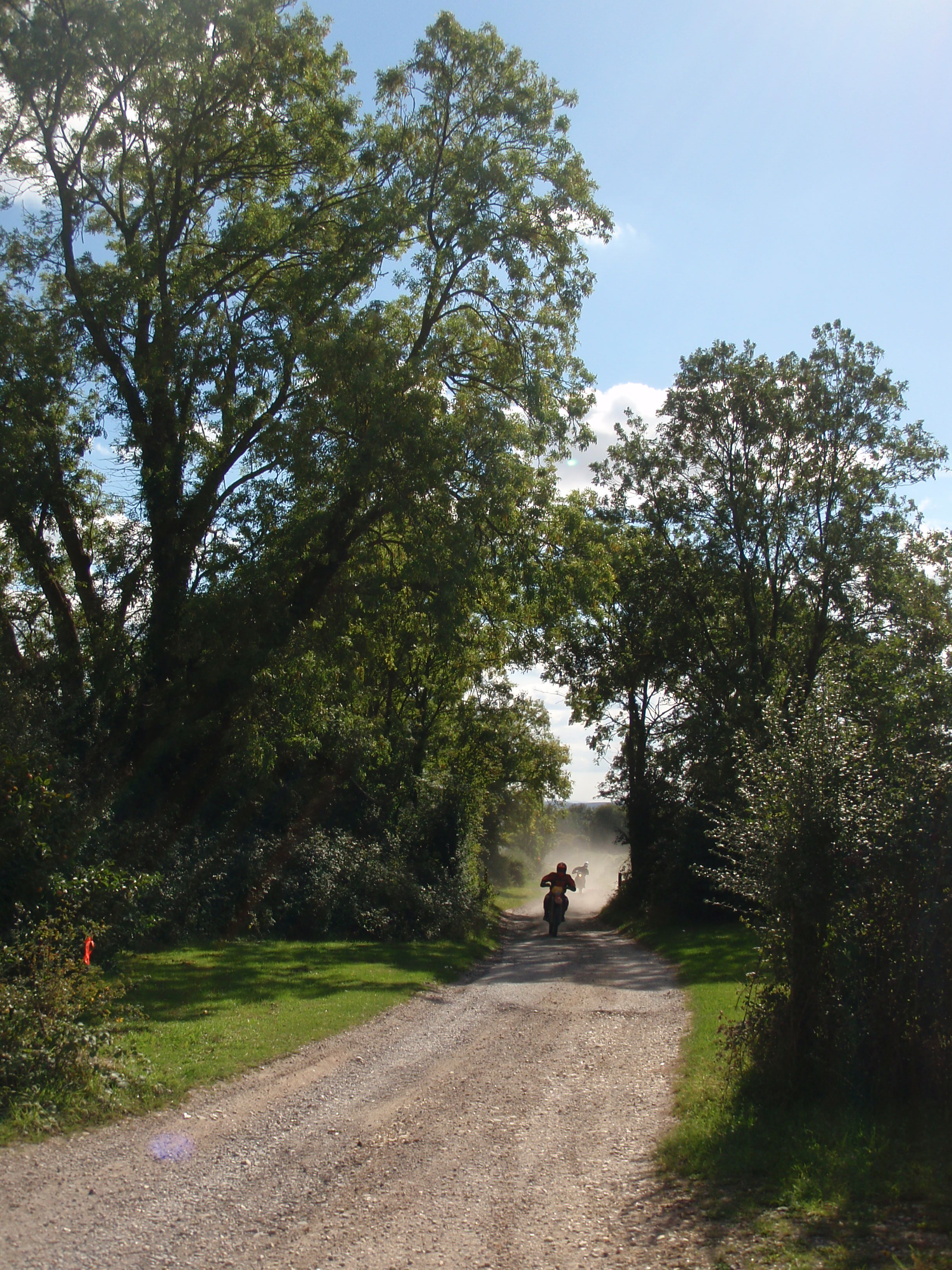
The common is a popular destination for nature enthusiasts and walkers, who come to explore the numerous footpaths and bridleways that crisscross the area. These paths offer stunning views of the surrounding countryside, including the nearby Salisbury Plain and the Chalke Valley. Additionally, Tidpit Common Down forms part of the Cranborne Chase and West Wiltshire Downs Area of Outstanding Natural Beauty, further highlighting its natural significance.
The common is managed by a local conservation group in collaboration with Natural England, ensuring the preservation and protection of its unique habitat. This includes the careful monitoring of grazing animals, such as sheep and ponies, which help maintain the open grassland and prevent the encroachment of scrub.
Overall, Tidpit Common Down is a captivating and ecologically important landscape that offers visitors a chance to experience the beauty and tranquility of the Wiltshire countryside.
If you have any feedback on the listing, please let us know in the comments section below.
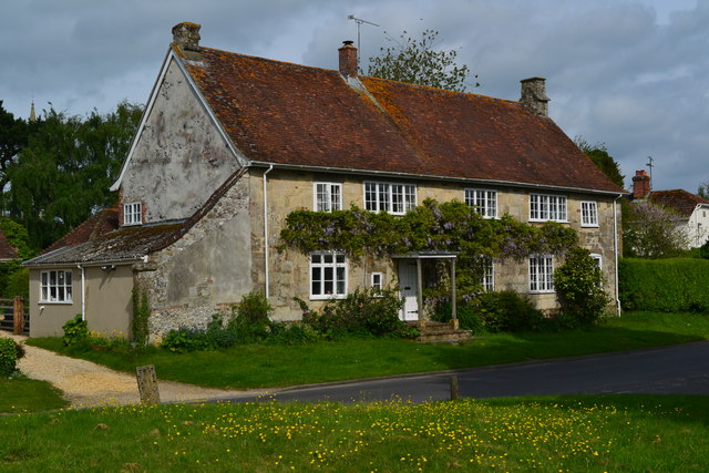
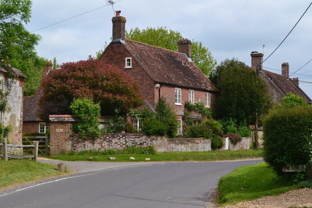
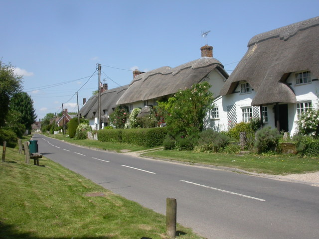
Tidpit Common Down Images
Images are sourced within 2km of 50.959931/-1.9073701 or Grid Reference SU0617. Thanks to Geograph Open Source API. All images are credited.


Tidpit Common Down is located at Grid Ref: SU0617 (Lat: 50.959931, Lng: -1.9073701)
Administrative County: Hampshire
District: New Forest
Police Authority: Hampshire
What 3 Words
///flicked.suave.chase. Near Bower Chalke, Wiltshire
Nearby Locations
Related Wikis
Martin, Hampshire
Martin is a village and civil parish in the New Forest district of Hampshire, England. The nearest town, Fordingbridge, is 7 miles (11 km) to the south...
Toyd Down and Quarry
Toyd Down and Quarry is a 6.7-hectare (17-acre) biological Site of Special Scientific Interest east of Martin in Hampshire.This site is composed of two...

Boulsbury Wood
Boulsbury Wood is a 119.8-hectare (296-acre) biological Site of Special Scientific Interest in Dorset and Hampshire. The site is west of Fordingbridge...

Martin and Tidpit Downs
Martin and Tidpit Downs is a 367.5-hectare (908-acre) biological Site of Special Scientific Interest north-west of Fordingbridge in Hampshire. Martin Down...

Bokerley Dyke
Bokerley Dyke, Bokerly Dyke, Bokerley Ditch, is a linear earthwork 5.75 kilometres (3.6 mi) long in Hampshire, between Woodyates and Martin. It is a Scheduled...

Martin Down Enclosure
The Martin Down Enclosure is an archaeological site on Martin Down, near the village of Martin, in Hampshire, England. It is near the boundaries with Dorset...

St Aldhelm's Church, Boveridge
St Aldhelm's Church is a former Church of England church in Boveridge, Dorset, England. It was built at the expense of Richard Brouncker in 1838 and became...

Pentridge
Pentridge is a village and former civil parish, now in the parish of Sixpenny Handley and Pentridge, in the Dorset district, in the ceremonial of Dorset...
Nearby Amenities
Located within 500m of 50.959931,-1.9073701Have you been to Tidpit Common Down?
Leave your review of Tidpit Common Down below (or comments, questions and feedback).