Black Moor
Downs, Moorland in Derbyshire High Peak
England
Black Moor
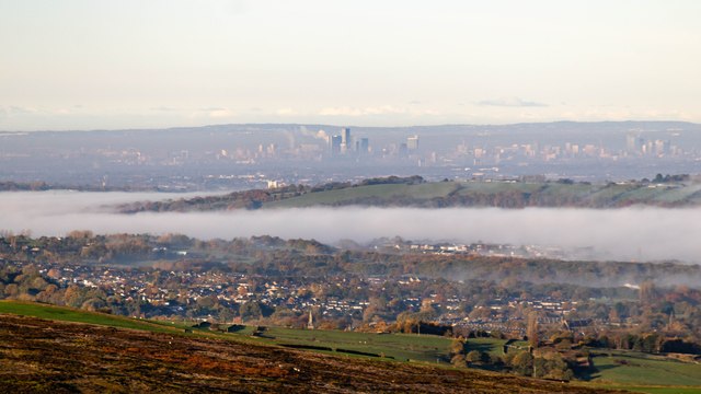
Black Moor is a picturesque area located in Derbyshire, England. It is situated on the southern edge of the Peak District National Park and covers a vast expanse of moorland and rolling hills. The region is known for its outstanding natural beauty and is a popular destination for nature enthusiasts and hikers.
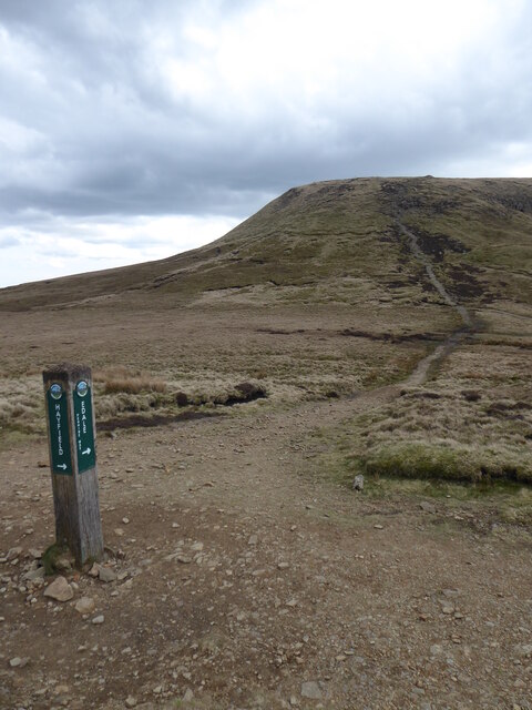
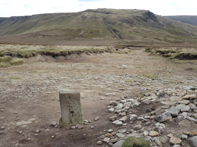
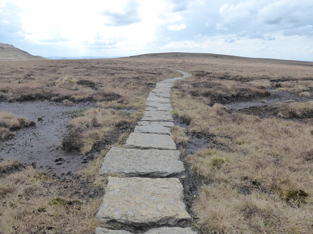
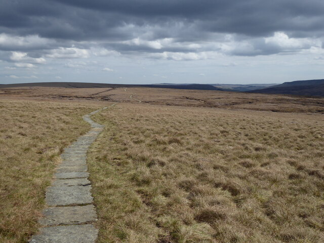
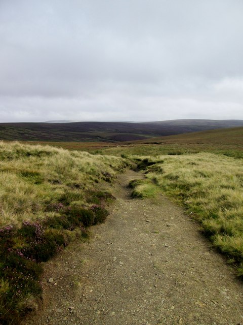
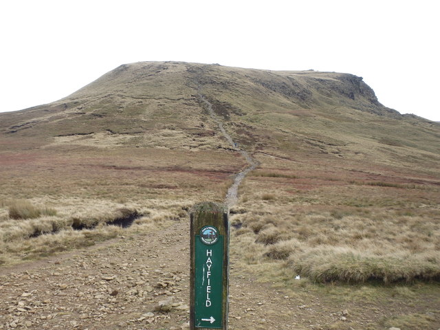
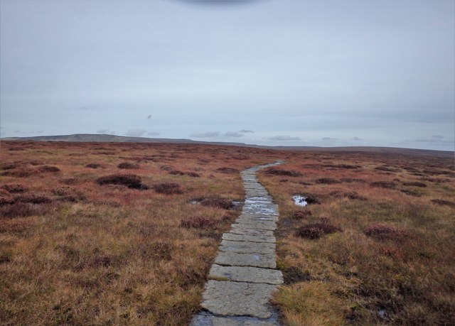
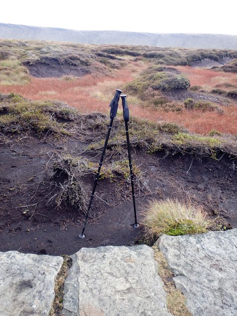
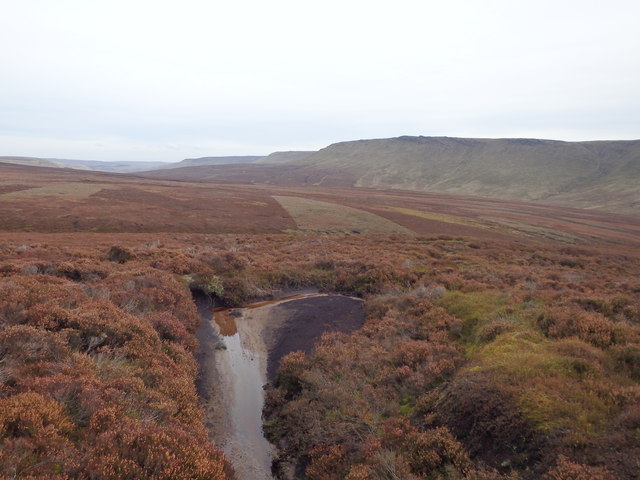
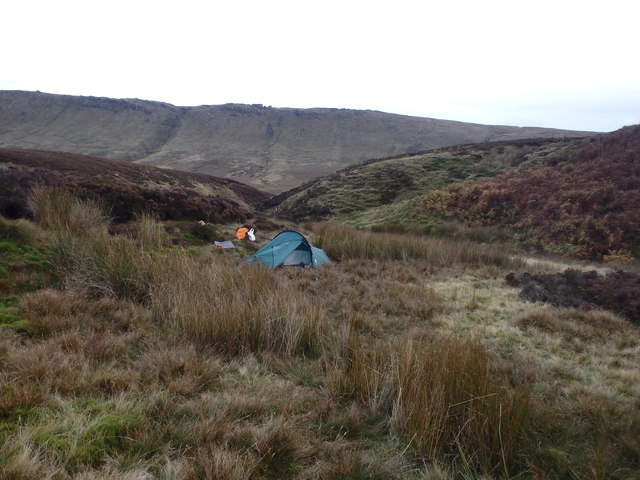
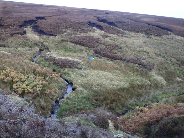
The landscape of Black Moor is dominated by heather-covered moorland, interspersed with patches of grassland and scattered trees. The area is renowned for its rugged terrain, offering breathtaking panoramic views of the surrounding countryside. The moorland is home to a variety of plant and animal species, including rare birds such as curlew, merlin, and golden plover.
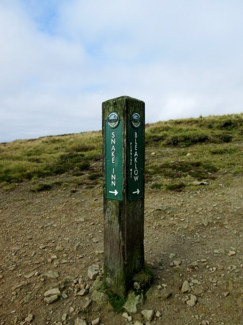
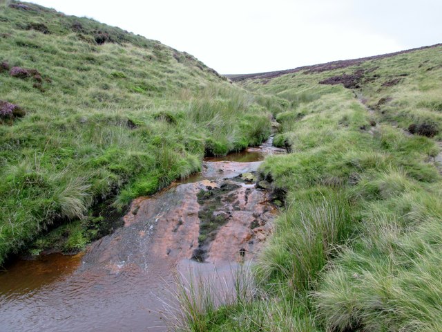
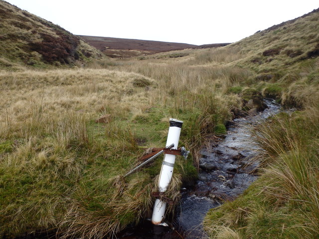
Visitors to Black Moor can enjoy a range of outdoor activities, including hiking, cycling, and birdwatching. There are several well-marked trails that wind through the moorland, showcasing the area's diverse flora and fauna. The region is also intersected by several streams and rivers, providing opportunities for fishing and picnicking by the water.
In addition to its natural beauty, Black Moor is steeped in history. The area is dotted with ancient burial mounds, stone circles, and remnants of old settlements, dating back to the Neolithic and Bronze Age periods. These archaeological sites offer a glimpse into the rich cultural heritage of the region.
Overall, Black Moor in Derbyshire is a captivating destination, offering a unique blend of natural beauty, outdoor activities, and historical significance. It is a place where visitors can immerse themselves in the tranquil surroundings and appreciate the wonders of the British countryside.
If you have any feedback on the listing, please let us know in the comments section below.
Black Moor Images
Images are sourced within 2km of 53.424596/-1.9066156 or Grid Reference SK0691. Thanks to Geograph Open Source API. All images are credited.


Black Moor is located at Grid Ref: SK0691 (Lat: 53.424596, Lng: -1.9066156)
Administrative County: Derbyshire
District: High Peak
Police Authority: Derbyshire
What 3 Words
///tadpole.jobs.usual. Near Glossop, Derbyshire
Nearby Locations
Related Wikis

Mill Hill (Derbyshire)
Mill Hill is an open, flat-topped hill, 1,785 feet (544 m) above sea level, in the Peak District in the county of Derbyshire in England. == Location... ==

Hurst Reservoir
Hurst Reservoir is a former, now disused, reservoir near Glossop, north Derbyshire. == History == In 1837, 50 local millowners and gentlemen, known as...

Snake Pass
Snake Pass is a hill pass in the Derbyshire section of the Peak District, crossing the Pennines between Glossop and the Ladybower Reservoir at Ashopton...

Mossy Lea Reservoir
Mossy Lea Reservoir is a disused reservoir near Glossop, north Derbyshire. In 1837, 50 local millowners and gentlemen, known as the "Glossop Commissioners...

Featherbed Top
Featherbed Top is an open, flat-topped hill, 544 metres (1,785 ft) high, in the Peak District in the county of Derbyshire in England. == Description... ==

Chunal
Chunal is a hamlet in Derbyshire, England. It is located on the A624 road, 1 mile south of Glossop. The philosopher Ludwig Wittgenstein conducted aeronautical...

Charlestown, Derbyshire
Charlestown is a village in Glossopdale, Derbyshire, England. It is in the Simmondley Ward of the High Peak District Council. The village is situated on...

Glossopdale
Glossopdale is the area around Glossop, Derbyshire, England, the valley of the Glossop Brook. It includes Glossop, Hadfield, Charlesworth, Dinting, Dinting...
Nearby Amenities
Located within 500m of 53.424596,-1.9066156Have you been to Black Moor?
Leave your review of Black Moor below (or comments, questions and feedback).