Black Heath
Downs, Moorland in Staffordshire Staffordshire Moorlands
England
Black Heath
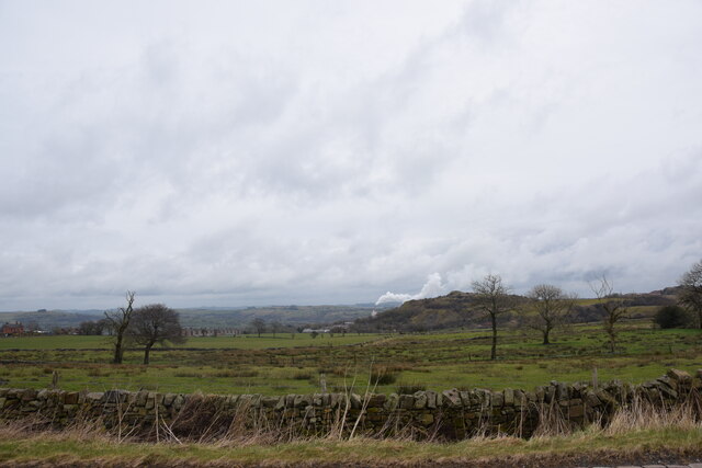
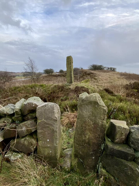
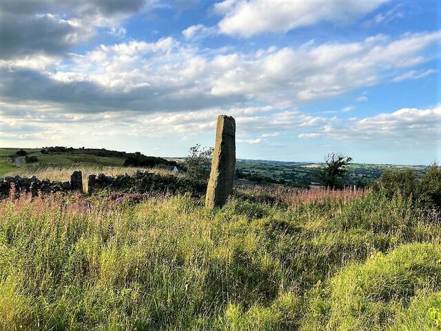
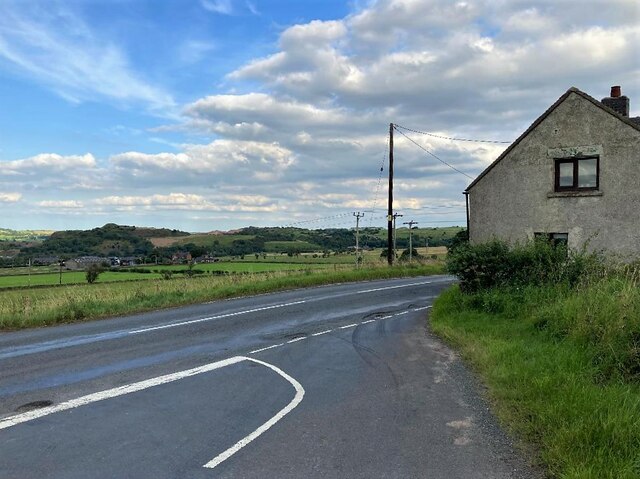
Black Heath is a rural area located in the county of Staffordshire, England. Situated in the northern part of the county, it is characterized by its picturesque landscape, encompassing both downs and moorland. The area covers a significant expanse, with Black Heath being one of the prominent settlements within this region.
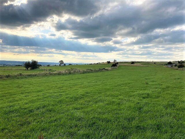
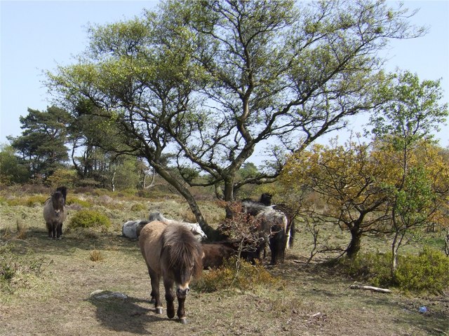
The downs of Black Heath offer a unique and diverse habitat, consisting of rolling hills, grasslands, and meadows. These downs are known for their rich flora and fauna, with wildflowers such as primroses and bluebells adding vibrant colors to the landscape. The area is also home to various species of birds, including skylarks and meadow pipits, making it a haven for birdwatchers and nature enthusiasts.
In contrast, the moorland of Black Heath showcases a more rugged and untamed terrain. With its extensive heather coverage and scattered boulders, this area provides a starkly beautiful sight. Moorland wildlife, such as grouse and hares, can often be spotted here, adding to the area's natural charm.
Black Heath is not heavily populated, with small communities scattered throughout the region. The residents mainly engage in agricultural activities, including sheep farming and crop cultivation. The tranquil and serene atmosphere of Black Heath attracts visitors seeking a peaceful retreat or those interested in exploring the region's natural beauty.
Overall, Black Heath, Staffordshire, offers a captivating blend of downs and moorland, boasting stunning landscapes and a rich natural heritage that is sure to captivate anyone who visits.
If you have any feedback on the listing, please let us know in the comments section below.
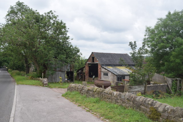
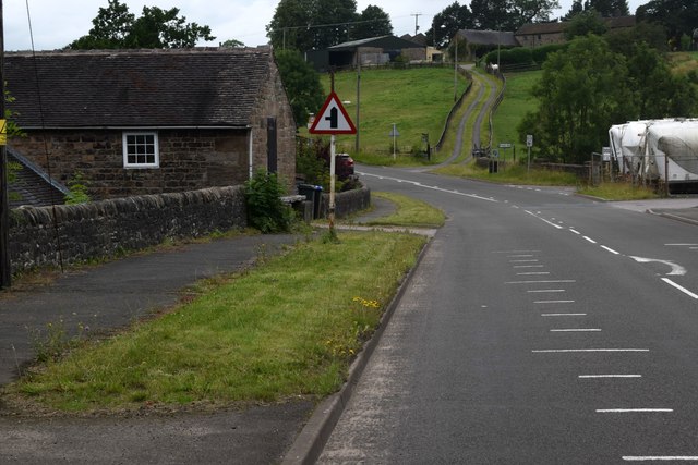
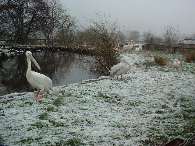
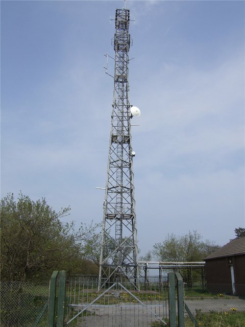
Black Heath Images
Images are sourced within 2km of 53.044534/-1.9234861 or Grid Reference SK0549. Thanks to Geograph Open Source API. All images are credited.


Black Heath is located at Grid Ref: SK0549 (Lat: 53.044534, Lng: -1.9234861)
Administrative County: Staffordshire
District: Staffordshire Moorlands
Police Authority: Staffordshire
What 3 Words
///prank.coasting.unimpeded. Near Cheadle, Staffordshire
Nearby Locations
Related Wikis

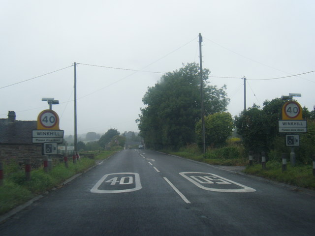
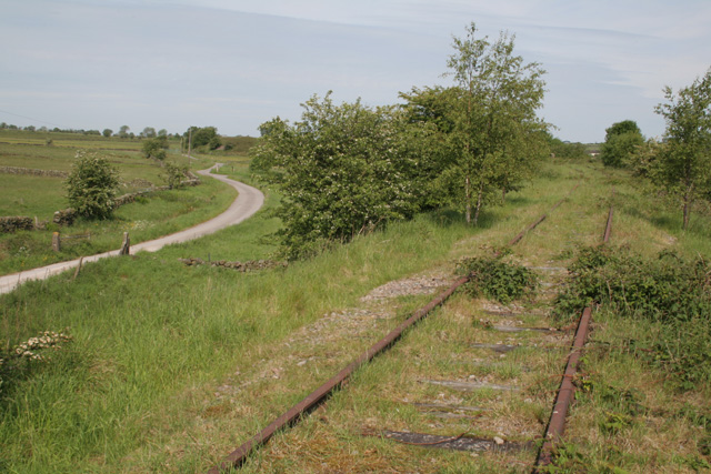
Winkhill railway station
Winkhill railway station was a railway station that served the hamlet of Winkhill, Staffordshire. It was opened by the North Staffordshire Railway (NSR...

Peak Wildlife Park
Peak Wildlife Park is a zoo in central England. The nearest towns are Leek, Ashbourne and Stoke-on-Trent. The zoo was originally known as Blackbrook Zoological...

Broomyshaw
Broomyshaw is a village in Staffordshire, England. Population details for the 2011 census can be found under Waterhouses, Staffordshire
Caldon Low Halt railway station
Caldon Low Halt railway station was a railway station near the hamlet of Cauldon, Staffordshire. It was opened by the North Staffordshire Railway (NSR...

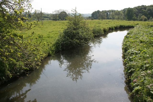
Harston Wood
Harston Wood is a nature reserve of the Staffordshire Wildlife Trust. It is an ancient woodland, adjacent to the village of Froghall, near Cheadle, Staffordshire...

Cauldon
Cauldon or Caldon is a village and former civil parish, 19 miles (31 km) north east of Stafford, now in the parish of Waterhouses, in the Staffordshire...
Whiston, Staffordshire Moorlands
Whiston is a village in the Staffordshire Moorlands district of Staffordshire, England. Population details as taken at the 2011 census can be found under...
Back o'th' Brook
Back o'th' Brook is a village in Staffordshire, England. The population for the 2011 census can be found under Waterhouses
Have you been to Black Heath?
Leave your review of Black Heath below (or comments, questions and feedback).