Uddens Park

Downs, Moorland in Dorset

England

Uddens Park

Ford at Broom Hill This dry ford is the first of two fords at Broom Hill.
Ford at Broom Hill Credit: John Walton

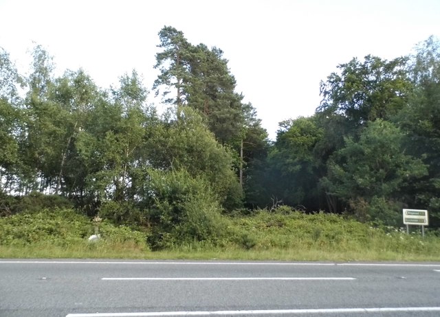
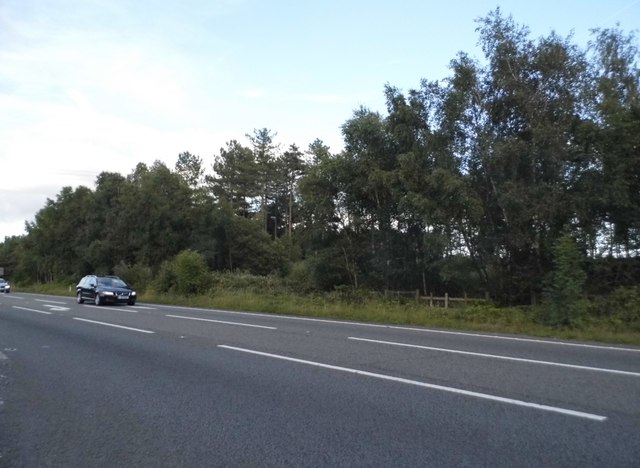
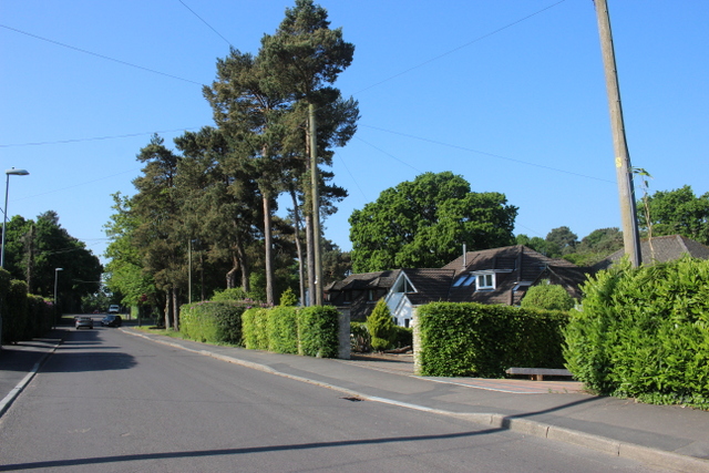
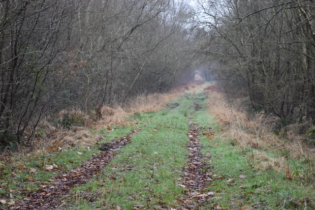
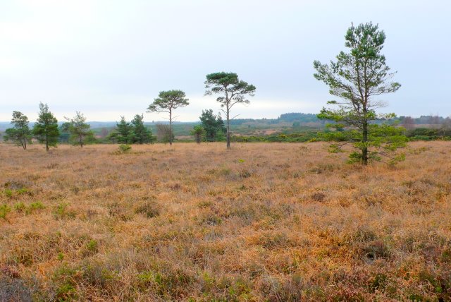
Uddens Park is a picturesque natural area located in the county of Dorset, England. Situated on the outskirts of Wimborne Minster, the park covers an expansive area of downs and moorland, offering visitors a unique landscape to explore and enjoy.

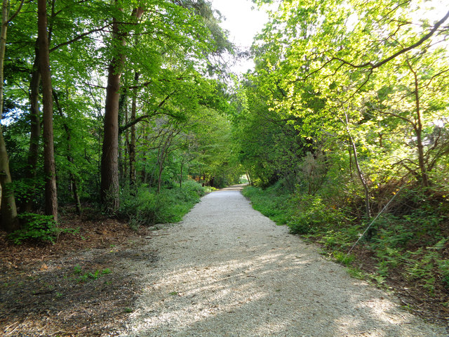
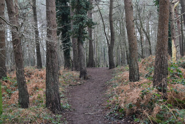
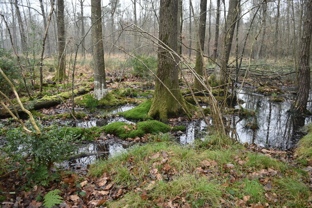
The park is known for its diverse range of flora and fauna, making it a haven for nature lovers and wildlife enthusiasts. It is home to a variety of plant species, including heather, gorse, and bracken, which create a stunning tapestry of colors throughout the year. The moorland areas are particularly rich in birdlife, with species such as skylarks and stonechats commonly spotted.

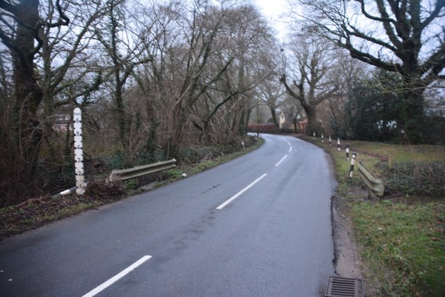
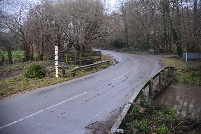
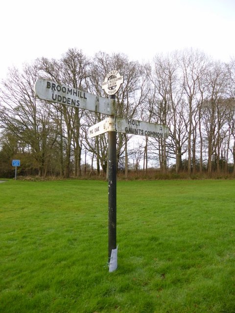
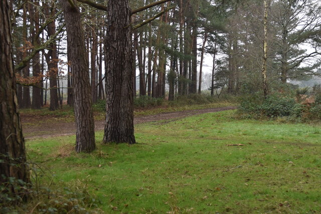
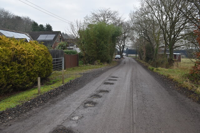
Uddens Park also boasts a network of well-maintained footpaths and trails, making it an ideal destination for walkers and hikers. The paths meander through the park, offering breathtaking views of the surrounding countryside. Additionally, there are several picnic areas dotted throughout the park, providing visitors with the perfect spot to relax and soak in the tranquil atmosphere.

History enthusiasts will find interest in Uddens Park as well, as it was once the site of a World War II airfield. Remnants of the airfield, including old runways and buildings, can still be seen today, serving as a reminder of the park's past.

Overall, Uddens Park is a hidden gem in Dorset, offering a peaceful retreat for those seeking to connect with nature or delve into local history. With its stunning landscapes and abundant wildlife, it is a must-visit destination for anyone exploring the area.

If you have any feedback on the listing, please let us know in the comments section below.

Uddens Park Images

Images are sourced within 2km of 50.82278/-1.9365456 or Grid Reference SU0402. Thanks to Geograph Open Source API. All images are credited.

Ford at Broom Hill This dry ford is the first of two fords at Broom Hill.
Ford at Broom Hill
This dry ford is the first of two fords at Broom Hill.
Ford at Broom Hill This is the second of the two Broom Hill fords.
Ford at Broom Hill
This is the second of the two Broom Hill fords.
From Railway to Trailway This trailway was once part of the double-track mainline running from London Waterloo to Weymouth. Bicycles are now the only wheeled vehicles you'll see along here nowadays.
From Railway to Trailway
This trailway was once part of the double-track mainline running from London Waterloo to Weymouth. Bicycles are now the only wheeled vehicles you'll see along here nowadays.
Cobham Road, Ferndown Industrial Estate A grey road, on a grey day.
Cobham Road, Ferndown Industrial Estate
A grey road, on a grey day.
Woods by the A31, Ferndown
The A31, Ferndown
The A31, Ferndown
Houses on Pilford Heath Rd This part of Wimborne is very leafy and the large gardens often contain some of the large old pine trees that were here before the houses were built.
Houses on Pilford Heath Rd
This part of Wimborne is very leafy and the large gardens often contain some of the large old pine trees that were here before the houses were built.
Old Direction Sign - Signpost by Broom Hill, Holt Parish Annulus finial - 4 arms; Dorset halo without NGR by the UC road, in parish of Holt (East Dorset District), Broom Hill, junction of Colehill, Hart's and Pilford Lanes, on narrow verge.

Surveyed

Milestone Society National ID: DO_SU0302.
Old Direction Sign - Signpost by Broom Hill, Holt Parish
Annulus finial - 4 arms; Dorset halo without NGR by the UC road, in parish of Holt (East Dorset District), Broom Hill, junction of Colehill, Hart's and Pilford Lanes, on narrow verge. Surveyed Milestone Society National ID: DO_SU0302.
Old Direction Sign - Signpost by Hart's Lane, God's Blessing Green Annulus and bar finial - 3 arms; Dorset halo with NGR by the UC road, in parish of Holt (East Dorset District), God's Blessing Green, junction of UC road to Pig Oak, on green opposite garden centre.

Surveyed

Milestone Society National ID: DO_SU0303
Old Direction Sign - Signpost by Hart's Lane, God's Blessing Green
Annulus and bar finial - 3 arms; Dorset halo with NGR by the UC road, in parish of Holt (East Dorset District), God's Blessing Green, junction of UC road to Pig Oak, on green opposite garden centre. Surveyed Milestone Society National ID: DO_SU0303
Bridleway junction on Holt Heath The bridleway running broadly east-west is marked on the OS map some metres to the north of the route clearly signed and visible on the ground.
Bridleway junction on Holt Heath
The bridleway running broadly east-west is marked on the OS map some metres to the north of the route clearly signed and visible on the ground.
Path through the woods near White Sheet Hill car park
Woodland fringe north of White Sheet Hill
Track at Clayford
Track at Clayford
Grassy track into Park Copse
Silver birches in White Sheet Plantation The light bark seemed almost luminous on an otherwise very dark and misty day.
Silver birches in White Sheet Plantation
The light bark seemed almost luminous on an otherwise very dark and misty day.
Track south of White Sheet Plantation
Saturated ground north of Clayford Farm
On the Ferndown, Stour and Forest Trail Path on edge of woodland between Clayford and West Moors.
On the Ferndown, Stour and Forest Trail
Path on edge of woodland between Clayford and West Moors.
Show me another place!

Uddens Park is located at Grid Ref: SU0402 (Lat: 50.82278, Lng: -1.9365456)

Unitary Authority: Dorset

Police Authority: Dorset

What 3 Words

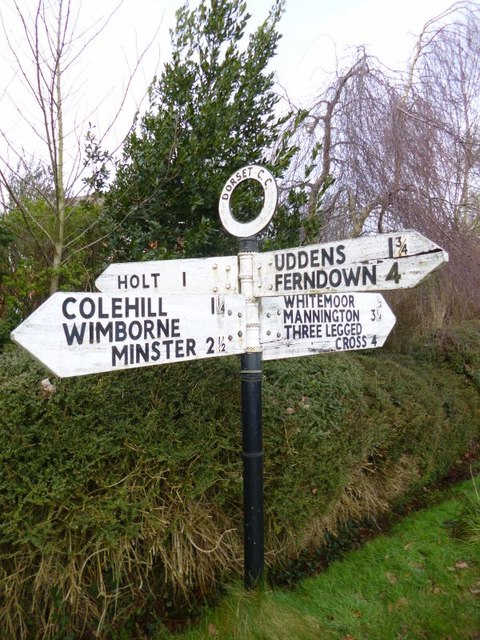
///sting.typified.hobbies. Near Ferndown, Dorset

Related Wikis

Holt Heath, Dorset

Holt Heath is a 4.88 square kilometres (1.88 sq mi) common situated four miles north-east of Wimborne Minster in east Dorset, southern England, close to...

Holt, Dorset

Holt is a village in east Dorset, England, 2 miles (3.2 km) north of Wimborne Minster. The village had a population of 1,265 in 2001. The electoral ward...

Ameysford

Ameysford is a suburb and electoral ward in Ferndown, Dorset, England.

Dumpton School

Dumpton School is an independent day school in Wimborne, Dorset, South West England, for girls and boys aged 2 to 13 years. == History == The school was...

Have you been to Uddens Park?

Leave your review of Uddens Park below (or comments, questions and feedback).