Harrow Green

Settlement in Suffolk Babergh

England

Harrow Green

Church of All Saints, Lawshall A largely fifteenth century church <span class="nowrap"><a title="https://historicengland.org.uk/listing/the-list/list-entry/1036594" rel="nofollow ugc noopener" href="https://historicengland.org.uk/listing/the-list/list-entry/1036594">Link</a><img style="margin-left:2px;" alt="External link" title="External link - shift click to open in new window" src="https://s1.geograph.org.uk/img/external.png" width="10" height="10"/></span>
Church of All Saints, Lawshall Credit: Jonathan Thacker

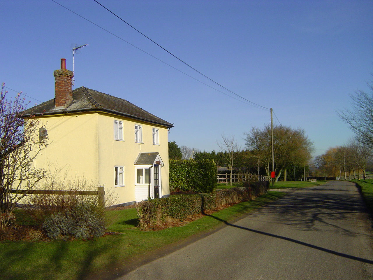
Harrow Green is a charming village located in the county of Suffolk, England. Situated in the eastern part of the country, it is nestled within the picturesque countryside, surrounded by rolling hills, lush green fields, and quaint villages. The village is part of the Mid Suffolk district and is approximately 12 miles southeast of the town of Stowmarket.

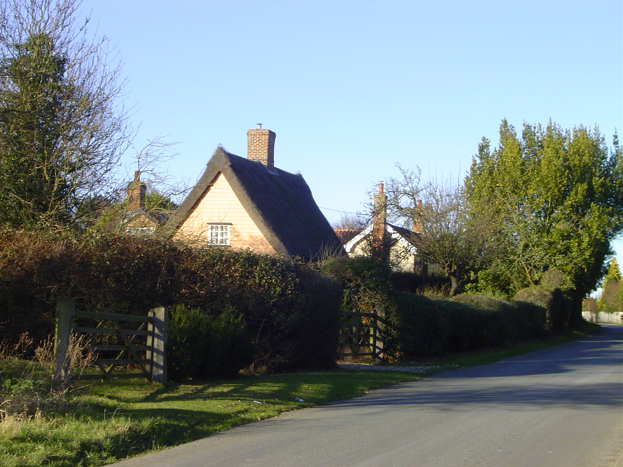
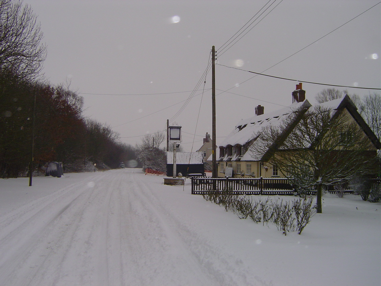
With a population of around 500 residents, Harrow Green offers a peaceful and close-knit community. The village is known for its idyllic setting and is a popular choice for those seeking a quieter and more rural lifestyle. The architecture of the village reflects its rich history, with many traditional Suffolk cottages dotting the landscape.

Despite its small size, Harrow Green boasts a number of amenities that cater to the needs of its residents. These include a local pub, a village hall, and a small convenience store, providing essential services for the community. The village also benefits from a primary school, ensuring that families have access to quality education for their children.

Nature enthusiasts and outdoor lovers will find plenty to explore in the surrounding area. The village is conveniently located near several nature reserves and parks, offering opportunities for leisurely walks, cycling, and birdwatching.

Overall, Harrow Green is a charming and peaceful village, offering a serene and picturesque countryside lifestyle within the beautiful county of Suffolk.

If you have any feedback on the listing, please let us know in the comments section below.
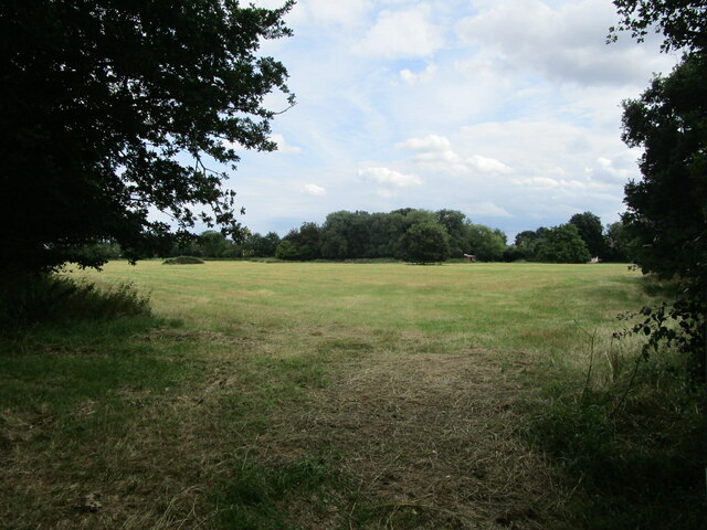
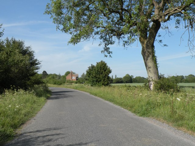
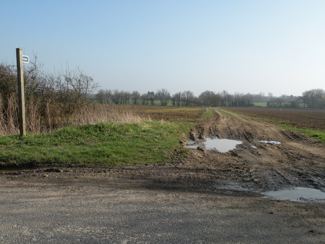
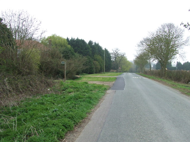
Harrow Green Images

Images are sourced within 2km of 52.159434/0.715064 or Grid Reference TL8554. Thanks to Geograph Open Source API. All images are credited.

Church of All Saints, Lawshall A largely fifteenth century church <span class="nowrap"><a title="https://historicengland.org.uk/listing/the-list/list-entry/1036594" rel="nofollow ugc noopener" href="https://historicengland.org.uk/listing/the-list/list-entry/1036594">Link</a><img style="margin-left:2px;" alt="External link" title="External link - shift click to open in new window" src="https://s1.geograph.org.uk/img/external.png" width="10" height="10"/></span>
Church of All Saints, Lawshall
A largely fifteenth century church LinkExternal link
Grass field near Lawshall
Isolated tree near Makin's Farm
Field by Brands Lane Looking towards Rowney Farm
Field by Brands Lane
Looking towards Rowney Farm
Shimpling Road, heading towards Lawshall
Footpath to Shimpling Street from Shimpling Road
Part of Shimpling Road in Lawshall
The approach to Hanningfields Farm
The village sign at Lawshall
Road junction in Lawshall This junction is actually a crossroads.  The road to the right is Melford Road with Bury Road off to the left.  Straight ahead is Lambs Lane and opposite is Golden Lane.
Road junction in Lawshall
This junction is actually a crossroads. The road to the right is Melford Road with Bury Road off to the left. Straight ahead is Lambs Lane and opposite is Golden Lane.
Donkey Lane, between Lawshall and Stanningfield
Open Fields Open fields near to Brockley, Suffolk.
Open Fields
Open fields near to Brockley, Suffolk.
Memorial To Johannes Bartholomeus Jat Van Mesdag WWII memorial to crashed Mustang pilot Johannes Bartholomeus Jat Van Mesdag at side of a country road near to Lawshall, Suffolk. For more info on this young airman see <span class="nowrap"><a title="http://www.aircrewremembered.com/van-mesdag-johannes.html" rel="nofollow ugc noopener" href="http://www.aircrewremembered.com/van-mesdag-johannes.html">Link</a><img style="margin-left:2px;" alt="External link" title="External link - shift click to open in new window" src="https://s1.geograph.org.uk/img/external.png" width="10" height="10"/></span> and for overall view see <a title="https://www.geograph.org.uk/photo/2595650" href="https://www.geograph.org.uk/photo/2595650">Link</a>
Memorial To Johannes Bartholomeus Jat Van Mesdag
WWII memorial to crashed Mustang pilot Johannes Bartholomeus Jat Van Mesdag at side of a country road near to Lawshall, Suffolk. For more info on this young airman see LinkExternal link and for overall view see Link
Airman's Memorial WWII memorial to crashed Mustang pilot Johannes Bartholomeus Jat Van Mesdag at side of a country road near to Lawshall, Suffolk. For more info on this young airman see <span class="nowrap"><a title="http://www.aircrewremembered.com/van-mesdag-johannes.html" rel="nofollow ugc noopener" href="http://www.aircrewremembered.com/van-mesdag-johannes.html">Link</a><img style="margin-left:2px;" alt="External link" title="External link - shift click to open in new window" src="https://s1.geograph.org.uk/img/external.png" width="10" height="10"/></span> and for close up view see <a title="https://www.geograph.org.uk/photo/2595635" href="https://www.geograph.org.uk/photo/2595635">Link</a>
Airman's Memorial
WWII memorial to crashed Mustang pilot Johannes Bartholomeus Jat Van Mesdag at side of a country road near to Lawshall, Suffolk. For more info on this young airman see LinkExternal link and for close up view see Link
Hanningfield Green Hanningfield Green, Suffolk.
Hanningfield Green
Hanningfield Green, Suffolk.
Haystack Interesting haystack near to Stanningfield, Suffolk.
Haystack
Interesting haystack near to Stanningfield, Suffolk.
Footpath near Shimpling Street
Country Road Country road and footpath near to Lawshall, Suffolk.
Country Road
Country road and footpath near to Lawshall, Suffolk.
Show me another place!

Harrow Green is located at Grid Ref: TL8554 (Lat: 52.159434, Lng: 0.715064)

Administrative County: Suffolk

District: Babergh

Police Authority: Suffolk

What 3 Words

///frogs.seat.chuck. Near Glemsford, Suffolk

Nearby Locations

Harrow Green

Related Wikis

Harrow Green

Harrow Green is a hamlet in the civil parish of Lawshall in the Babergh district in the county of Suffolk, England. It is located between Lambs Lane and...

Lambs Lane, Lawshall

Lambs Lane is a nuclear settlement in the civil parish of Lawshall in the Babergh district in the county of Suffolk, England. In addition to Lambs Lane...

Lawshall Hall

Lawshall Hall is a Grade II* listed building, re-built in 1557, that is located in the parish of Lawshall in Suffolk. The Hall is adjacent to All Saints...

Lawshall

Lawshall is a village and civil parish in Suffolk, England. Located around a mile off the A134 between Bury St Edmunds and Sudbury, it is part of Babergh...

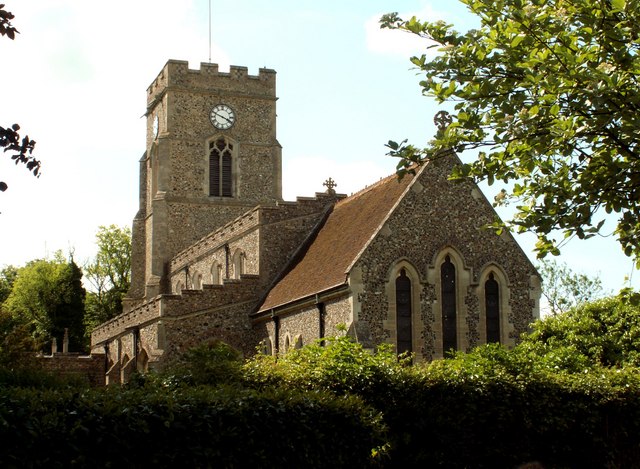
All Saints' Church, Lawshall

The Parish Church of All Saints' Lawshall, is an Anglican church in the village of Lawshall, Suffolk, England. It has been designated by English Heritage...

The Street, Lawshall

The Street is a linear settlement in the civil parish of Lawshall in the Babergh district in the county of Suffolk, England. It extends from Lawshall Hall...

Hart's Green

Hart's Green is a hamlet in the civil parish of Lawshall in the Babergh District in the county of Suffolk, England. It is located between Stanningfield...

Frithy and Chadacre Woods

Frithy and Chadacre Woods is a 28.7-hectare (71-acre) biological Site of Special Scientific Interest (SSSI) in the parishes of Lawshall and Shimpling in...

Nearby Amenities

Located within 500m of 52.159434,0.715064
Post Box
Operator: Royal Mail
Ref: IP29 2081
Lat/Long: 52.1599829/0.7082419
Bus Stop
Village Hall
Naptan AtcoCode: 390010441
Naptan Bearing: NW
Naptan CommonName: Village Hall
Naptan Indicator: adj
Naptan Landmark: Village Hall
Naptan NaptanCode: sufagdwt
Naptan Street: Harrow Green Road
Naptan Verified: no
Source: naptan_import
Lat/Long: 52.1597724/0.714517
Bus Stop
Village Hall
Naptan AtcoCode: 390010442
Naptan Bearing: SE
Naptan BusStopType: CUS
Naptan CommonName: Village Hall
Naptan Indicator: opp
Naptan Landmark: Village Hall
Naptan NaptanCode: sufagjad
Naptan Street: Harrow Green Road
Naptan Verified: no
Source: naptan_import
Lat/Long: 52.159797/0.7146208
Bus Stop
Shelter
Naptan AtcoCode: 390010762
Naptan Bearing: NE
Naptan CommonName: Shelter
Naptan Indicator: o/s
Naptan Landmark: Shelter
Naptan NaptanCode: sufjdpgj
Naptan Street: Bury Road
Naptan Verified: no
Source: naptan_import
Lat/Long: 52.1614508/0.709969
Bus Stop
Shelter
Naptan AtcoCode: 390010763
Naptan Bearing: SW
Naptan BusStopType: CUS
Naptan CommonName: Shelter
Naptan Indicator: opp
Naptan Landmark: Shelter
Naptan NaptanCode: sufjdpgm
Naptan Street: Bury Road
Naptan Verified: no
Source: naptan_import
Lat/Long: 52.1614644/0.7101129
Power: pole
Lat/Long: 52.1556005/0.7177752
Power: pole
Lat/Long: 52.1583945/0.721584
Power: pole
Lat/Long: 52.1562456/0.7186389
Power: pole
Lat/Long: 52.1576805/0.7205916
Power: pole
Lat/Long: 52.1569466/0.7195991
Post Box
Ref: IP29 2081
Lat/Long: 52.159692/0.7149597
The data included in this document is from www.openstreetmap.org. The data is made available under ODbL.

Have you been to Harrow Green?

Leave your review of Harrow Green below (or comments, questions and feedback).