Backstone Edge Moss

Downs, Moorland in Yorkshire Craven

England

Backstone Edge Moss

Distant Mine Shaft and Waste tip
Distant Mine Shaft and Waste tip Credit: Michael Steele

Backstone Edge Moss is a vast expanse of moorland located in Yorkshire, England. Nestled within the picturesque Yorkshire Dales, it is a prominent feature of the region's landscape. This moss is situated on Backstone Edge, a ridge that stretches across the moorland, offering stunning views of the surrounding valleys and hills.

Covering an area of approximately 2 square kilometers, Backstone Edge Moss is characterized by its rugged terrain, heather-covered slopes, and peat bogs. The moorland is home to a diverse range of flora and fauna, including a variety of heather species, bilberry bushes, and grasses. This rich vegetation provides a habitat for numerous bird species, such as curlews, lapwings, and red grouse, making it a popular site for birdwatching enthusiasts.

The moorland is also known for its archaeological significance. It contains ancient remains, including prehistoric burial mounds and stone circles, which offer insights into the area's human history. Additionally, the moss is a designated Site of Special Scientific Interest (SSSI), recognizing its importance for its unique ecosystem and geological features.

Backstone Edge Moss attracts outdoor enthusiasts, including hikers and nature lovers, who enjoy exploring its vast expanse and taking in the breathtaking views. The moss is intersected by various footpaths and bridleways, allowing visitors to discover its beauty at their own pace.

Overall, Backstone Edge Moss is a captivating and ecologically significant area, offering visitors a chance to immerse themselves in the natural beauty and rich history of Yorkshire's moorland landscape.

If you have any feedback on the listing, please let us know in the comments section below.

Backstone Edge Moss Images

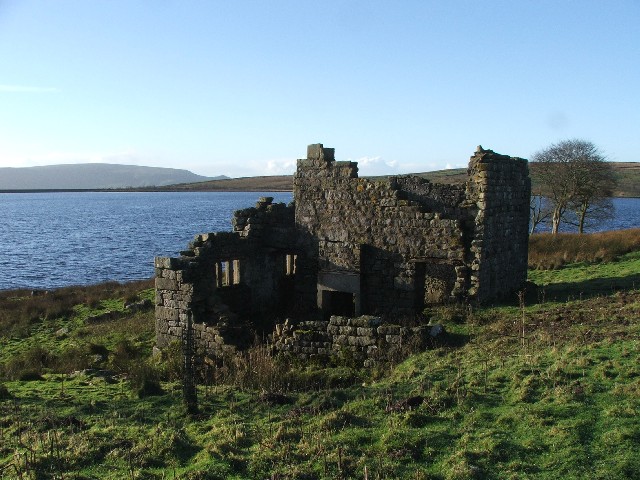
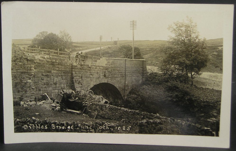
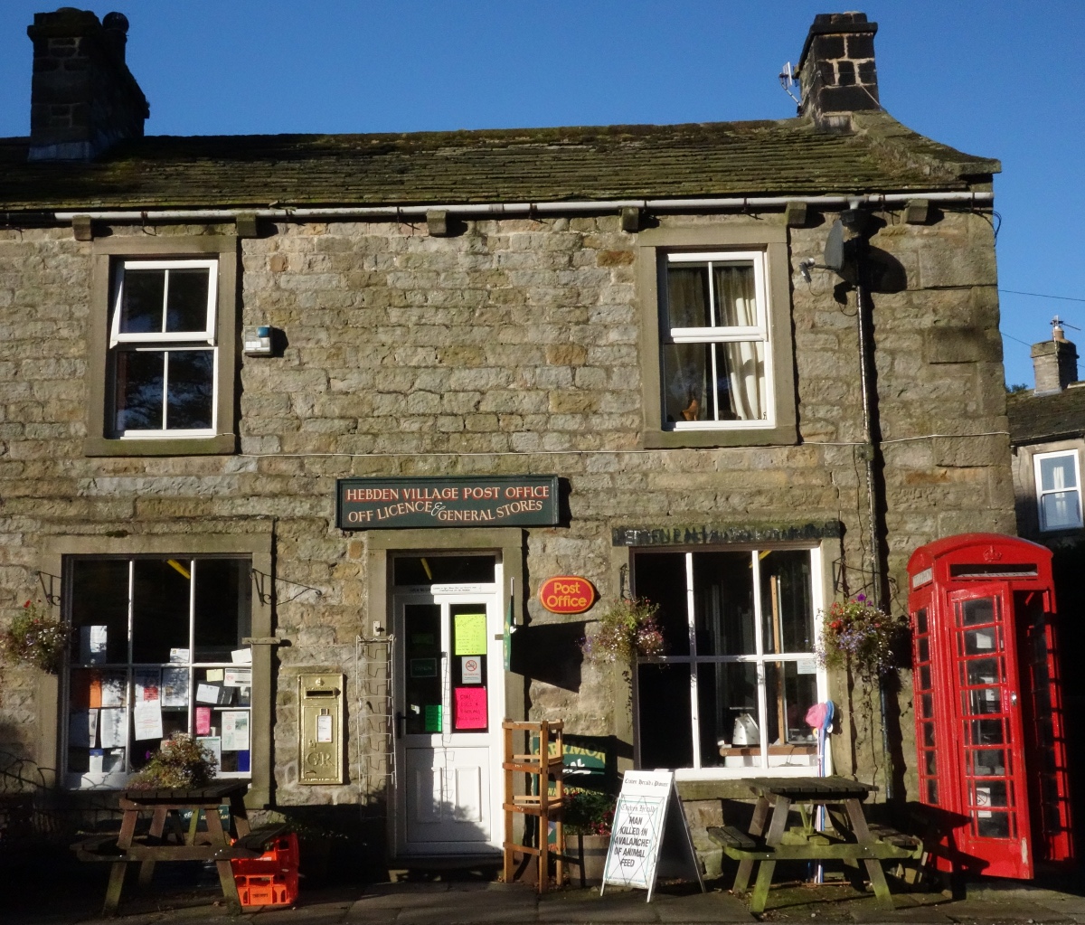
Images are sourced within 2km of 54.078209/-1.9398226 or Grid Reference SE0464. Thanks to Geograph Open Source API. All images are credited.

Distant Mine Shaft and Waste tip
Pickering Low Laithe sheepfold A double walled sheepfold built in the late 19thC.
Pickering Low Laithe sheepfold
A double walled sheepfold built in the late 19thC.
Miners bridge over Hebden Beck Built in 1857 by the Hebden Moor Mining Company to ease the access to their mining grounds at Bolton Gill.
Miners bridge over Hebden Beck
Built in 1857 by the Hebden Moor Mining Company to ease the access to their mining grounds at Bolton Gill.
To Scar Top House Taken on the path from Hebden, Wharfedale, North Yorkshire, to Grassington Park Estate, I am looking east across the meadow to Scar Top House and Dumpit Hill.
To Scar Top House
Taken on the path from Hebden, Wharfedale, North Yorkshire, to Grassington Park Estate, I am looking east across the meadow to Scar Top House and Dumpit Hill.
View from the B6265 at Stone Gill Flat Turf Gate House in the middle distance, the crags of Simon's Seat <a href="https://www.geograph.org.uk/gridref/SE0759">SE0759</a>
View from the B6265 at Stone Gill Flat
Turf Gate House in the middle distance, the crags of Simon's Seat SE0759
Stone Gill Flat Typical rough pasture, with a small plantation
Stone Gill Flat
Typical rough pasture, with a small plantation
Crossing Hebden Beck I'm pretty sure that the stepping stones here are a relatively recent feature as in the past one would just find the most useful rocks to hop across. Some of us are too ancient to contemplate a graceful leap over the water.
Crossing Hebden Beck
I'm pretty sure that the stepping stones here are a relatively recent feature as in the past one would just find the most useful rocks to hop across. Some of us are too ancient to contemplate a graceful leap over the water.
Eastern end of Tinker's Lane
Hebden Ghyll Reservoir and Intake
Access  road  from  Grimwith  Reservoir  (2) Good road with cattle grids to the B6265
Access road from Grimwith Reservoir (2)
Good road with cattle grids to the B6265
Old Boundary Marker on Sand Haw Moss, Grassington Parish Parish Boundary Marker in parish of Grassington (Craven District), Sand Haw Moss, North of wall below Sand Haw.

Surveyed

Milestone Society National ID: YW_GRASS02pb.
Old Boundary Marker on Sand Haw Moss, Grassington Parish
Parish Boundary Marker in parish of Grassington (Craven District), Sand Haw Moss, North of wall below Sand Haw. Surveyed Milestone Society National ID: YW_GRASS02pb.
Old Boundary Marker on Sand Haw Moss, Hebden Parish Parish Boundary Marker on Sand Haw Moss, in parish of Hebden (Craven District), North of wall below Sand Haw.

Surveyed

Milestone Society National ID: YW_HEBGRA01pb.
Old Boundary Marker on Sand Haw Moss, Hebden Parish
Parish Boundary Marker on Sand Haw Moss, in parish of Hebden (Craven District), North of wall below Sand Haw. Surveyed Milestone Society National ID: YW_HEBGRA01pb.
Old Boundary Marker on Sand Haw Moss, Grassington Parish Parish Boundary Marker in parish of Grassington (Craven District), Sand Haw Moss, South of Blea Beck.

Surveyed

Milestone Society National ID: YW_GRASS04pb
Old Boundary Marker on Sand Haw Moss, Grassington Parish
Parish Boundary Marker in parish of Grassington (Craven District), Sand Haw Moss, South of Blea Beck. Surveyed Milestone Society National ID: YW_GRASS04pb
Old Boundary Marker by Sand Haw Moss, Hebden parish Parish Boundary Marker in parish of Hebden (Craven District), Sand Haw Moss, North of wall below Sand Haw.

Surveyed

Milestone Society National ID: YW_HEBGRA04pb
Old Boundary Marker by Sand Haw Moss, Hebden parish
Parish Boundary Marker in parish of Hebden (Craven District), Sand Haw Moss, North of wall below Sand Haw. Surveyed Milestone Society National ID: YW_HEBGRA04pb
Old Boundary Marker on Sand Haw Moss, Grassington Parish Parish Boundary Marker in parish of Grassington (Craven District), Sand Haw Moss, North of wall below Sand Haw.

Surveyed

Milestone Society National ID: YW_GRASS01pb
Old Boundary Marker on Sand Haw Moss, Grassington Parish
Parish Boundary Marker in parish of Grassington (Craven District), Sand Haw Moss, North of wall below Sand Haw. Surveyed Milestone Society National ID: YW_GRASS01pb
Old Boundary Marker on Sand Haw Moss, Hebden parish Parish Boundary Marker in parish of Hebden (Craven District), Sand Haw Moss, North of wall below Sand Haw.

Surveyed

Milestone Society National ID: YW_HEBGRA02pb
Old Boundary Marker on Sand Haw Moss, Hebden parish
Parish Boundary Marker in parish of Hebden (Craven District), Sand Haw Moss, North of wall below Sand Haw. Surveyed Milestone Society National ID: YW_HEBGRA02pb
Old Boundary Marker on Sand Haw Moss, Hebden parish Parish Boundary Marker in parish of Hebden (Craven District), Sand Haw Moss, North of wall below Sand Haw.

Surveyed

Milestone Society National ID: YW_HEBGRA03pb
Old Boundary Marker on Sand Haw Moss, Hebden parish
Parish Boundary Marker in parish of Hebden (Craven District), Sand Haw Moss, North of wall below Sand Haw. Surveyed Milestone Society National ID: YW_HEBGRA03pb
New Laithe Stone barn in a state of ruin at the south western end of Grimwith Reservoir. Danger notices on the walls warn the public not to venture within.
It is on the popular reservoir walk - a four and a half mile circular around the edge of Yorkshire's largest body of water.
New Laithe
Stone barn in a state of ruin at the south western end of Grimwith Reservoir. Danger notices on the walls warn the public not to venture within. It is on the popular reservoir walk - a four and a half mile circular around the edge of Yorkshire's largest body of water.
Show me another place!

Backstone Edge Moss is located at Grid Ref: SE0464 (Lat: 54.078209, Lng: -1.9398226)

Division: West Riding

Administrative County: North Yorkshire

District: Craven

Police Authority: North Yorkshire

What 3 Words

///guidebook.yacht.climbing. Near Grassington, North Yorkshire

Related Wikis

Nearby Amenities

Located within 500m of 54.078209,-1.9398226
Great Black Hill
Is In: UK,Yorkshire,North Yorkshire,Nidderdale
Is In Country: UK
Is In County: North Yorkshire
Is In Historical County: Yorkshire
Natural: peak
Source: OS 1:25k
Lat/Long: 54.0810457/-1.9415325
Blackstone Edge Moss
Is In Country: UK
Is In County: North Yorkshire
Is In Historical County: Yorkshire
Natural: wetland
Source: OS 1:25k
Lat/Long: 54.0768411/-1.939415
Jack Cabin Top
Is In Country: UK
Is In County: North Yorkshire
Is In Historical County: Yorkshire
Natural: peak
Source: OS 1:25k
Lat/Long: 54.0772949/-1.9345012
Blackstone Edge Side
Is In Country: UK
Is In County: North Yorkshire
Is In Historical County: Yorkshire
Natural: fell
Source: OS 1:25k
Lat/Long: 54.0740468/-1.9382777
Hebden Moor
Place: locality
Source: OS OD Streetview
Lat/Long: 54.0789465/-1.9410477
Swines Carr Head
Source: NLS-OS-NatGrid-110k-1940-60
Lat/Long: 54.0788375/-1.9457052
Backstone Edge Parlour
Source: NLS-OS-NatGrid-110k-1940-60
Lat/Long: 54.0766464/-1.9426796
The data included in this document is from www.openstreetmap.org. The data is made available under ODbL.

Have you been to Backstone Edge Moss?

Leave your review of Backstone Edge Moss below (or comments, questions and feedback).