Nab Rough
Downs, Moorland in Yorkshire
England
Nab Rough
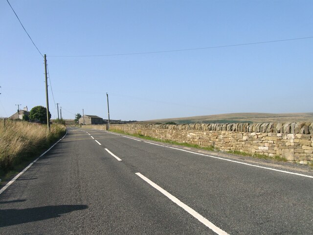
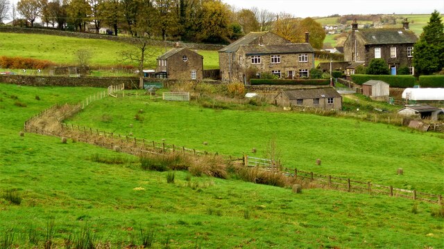
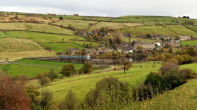
Nab Rough is a vast and picturesque area located in the county of Yorkshire, England. It is known for its diverse landscapes, encompassing both downs and moorland, offering visitors a unique and varied experience. The area is situated near the town of Denholme, providing easy access for those looking to explore its natural wonders.
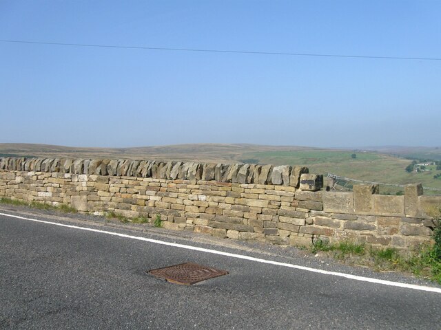
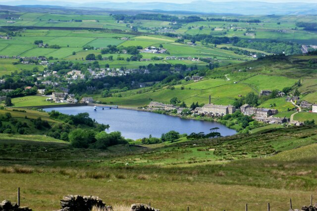
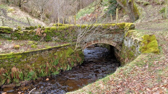
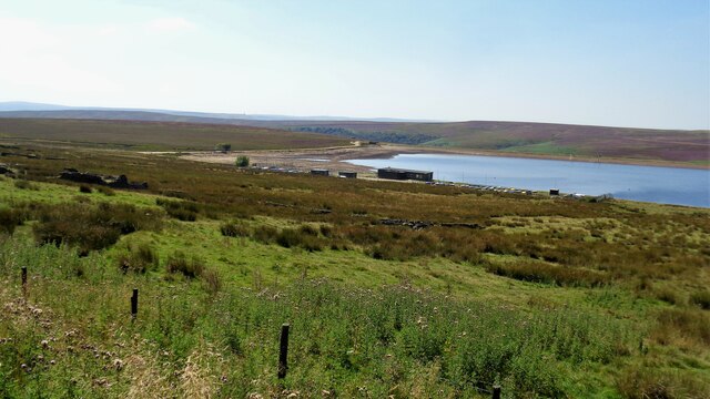
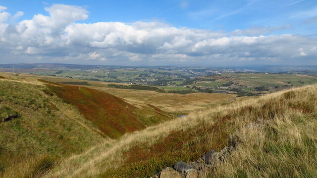
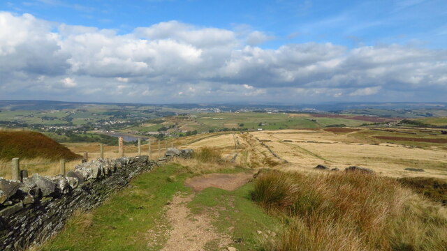
The downs of Nab Rough are characterized by rolling hills that offer breathtaking panoramic views of the surrounding countryside. These grassy slopes are often dotted with grazing sheep and provide an ideal setting for leisurely walks or picnics. The tranquility and serenity of the downs make them a popular spot for nature lovers and outdoor enthusiasts alike.
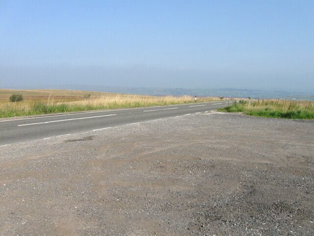
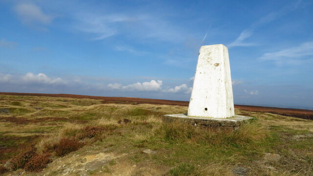
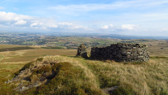
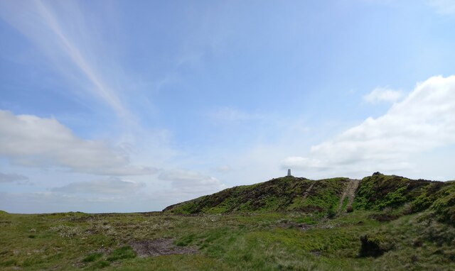
In contrast, the moorland of Nab Rough showcases a different side of Yorkshire's natural beauty. Here, visitors can marvel at the rugged and wild landscape, dominated by heather-covered hills and vast expanses of open space. The moorland is home to a diverse range of flora and fauna, including rare bird species such as the golden plover and curlew. It also offers a chance to witness the traditional practice of grouse shooting, which takes place during the shooting season.
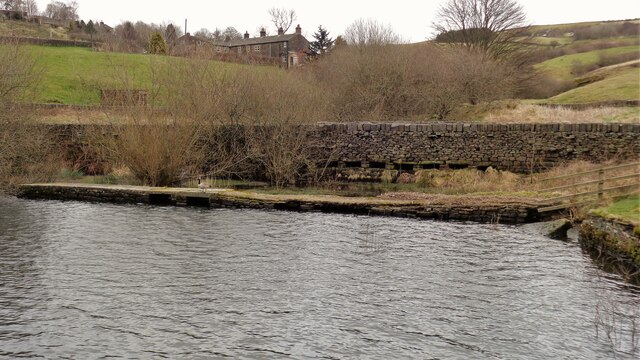
Nab Rough is a haven for outdoor activities, with numerous walking trails and cycling routes crisscrossing the area. The nearby reservoirs of Doe Park and Hewenden provide opportunities for fishing and boating, adding to the recreational options available to visitors.
Overall, Nab Rough in Yorkshire is a captivating destination for those seeking to immerse themselves in the natural beauty and tranquility of the English countryside. Whether exploring the downs or venturing into the moorland, visitors are sure to be captivated by the area's charm and natural splendor.
If you have any feedback on the listing, please let us know in the comments section below.
Nab Rough Images
Images are sourced within 2km of 53.790013/-1.9523164 or Grid Reference SE0332. Thanks to Geograph Open Source API. All images are credited.

Nab Rough is located at Grid Ref: SE0332 (Lat: 53.790013, Lng: -1.9523164)
Division: West Riding
Unitary Authority: Bradford
Police Authority: West Yorkshire
What 3 Words
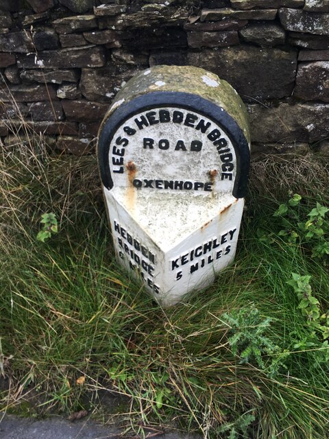
///apartment.hamster.opposing. Near Oxenhope, West Yorkshire
Related Wikis
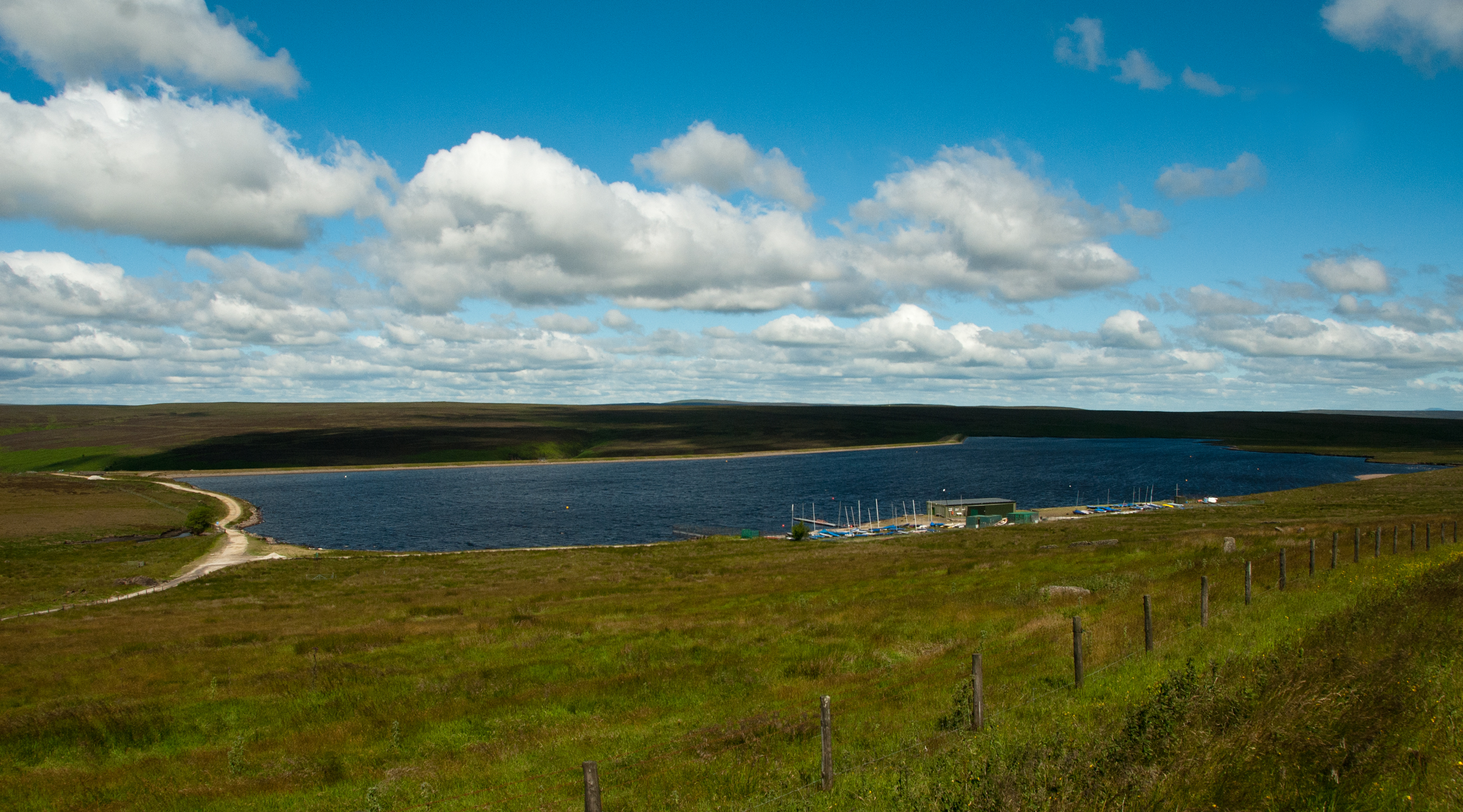
Warley Moor Reservoir
Warley Moor Reservoir, also known as Fly Flatts Reservoir, is a drinking water reservoir in West Yorkshire, England, owned and operated by Yorkshire Water...

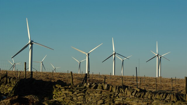
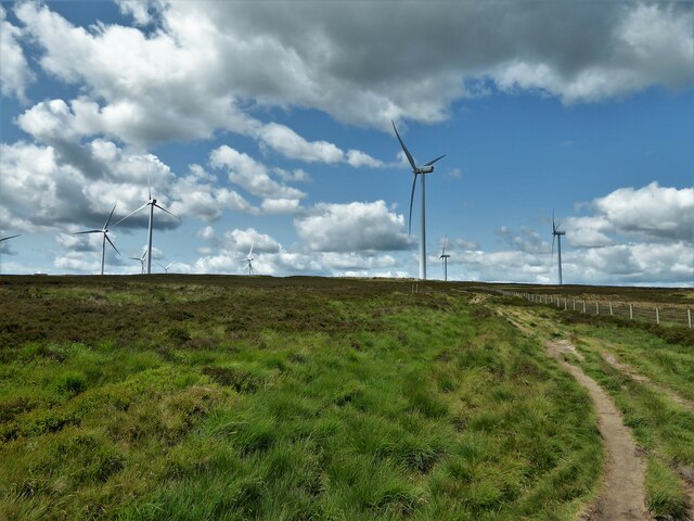
Ovenden Moor Wind Farm
Ovenden Moor Wind Farm is a wind powered electricity generating site in England. Ovenden Moor is located north of Halifax and west of Bradford in West...

Worth Valley
Worth Valley is a ward in the City of Bradford Metropolitan District Council, West Yorkshire. The population of the ward taken at the 2011 Census was 14...

Oxenhope
Oxenhope is a village and civil parish near Keighley in the metropolitan borough of Bradford, West Yorkshire, England. It was historically part of the...

Oxenhope railway station
Oxenhope railway station serves the village of Oxenhope, near Haworth, and within the City of Bradford Metropolitan District of West Yorkshire, England...

Denholme
Denholme is a town and civil parish in the Bradford Metropolitan Borough, West Yorkshire, England. It is 8 miles (13 km) west of Bradford, 7 miles (11...

Ogden, West Yorkshire
Ogden in West Yorkshire, England, is a small hamlet 5.0 miles (8 km) north of Halifax. The hamlet falls within the Calderdale Ward of Illingworth and Mixenden...

Penistone Hill Country Park
Penistone Hill Country Park is an open space of moorland that is located to 0.31 miles (0.5 km) west of Haworth and 0.62 miles (1 km) north-west of Oxenhope...
Nearby Amenities
Located within 500m of 53.790013,-1.9523164Have you been to Nab Rough?
Leave your review of Nab Rough below (or comments, questions and feedback).