South Clough Moss

Downs, Moorland in Yorkshire

England

South Clough Moss

Black Moss Reservoir dam wall
Black Moss Reservoir dam wall Credit: Dave Pickersgill

South Clough Moss is a picturesque area located in Yorkshire, England, known for its stunning natural beauty and diverse ecosystems. Nestled within the Yorkshire Downs and Moorland, this region spans over a vast expanse of approximately 500 acres.

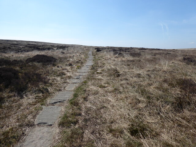
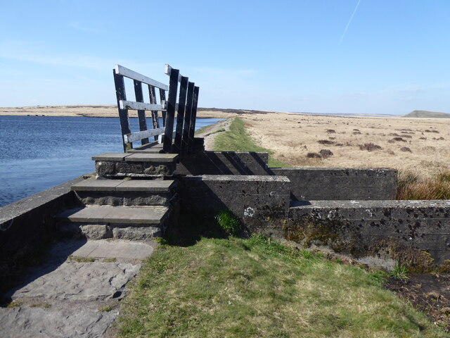
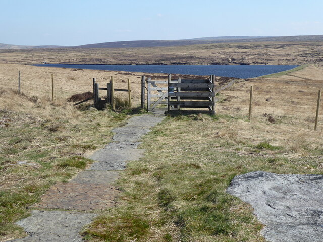
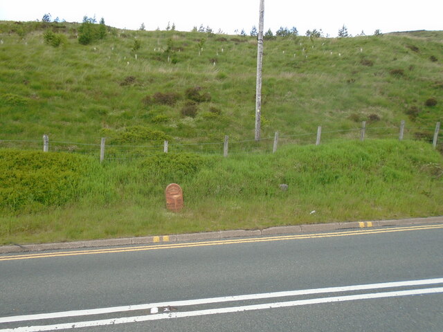
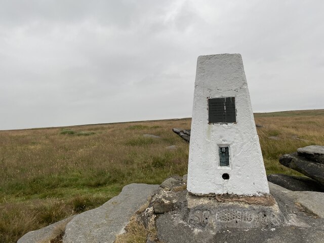
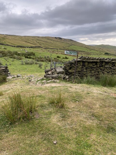
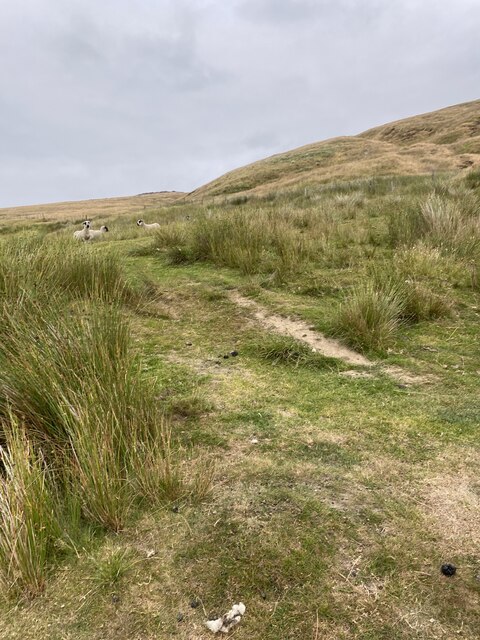
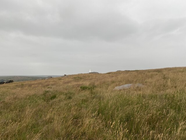
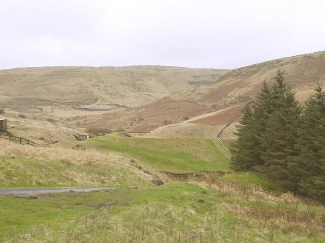
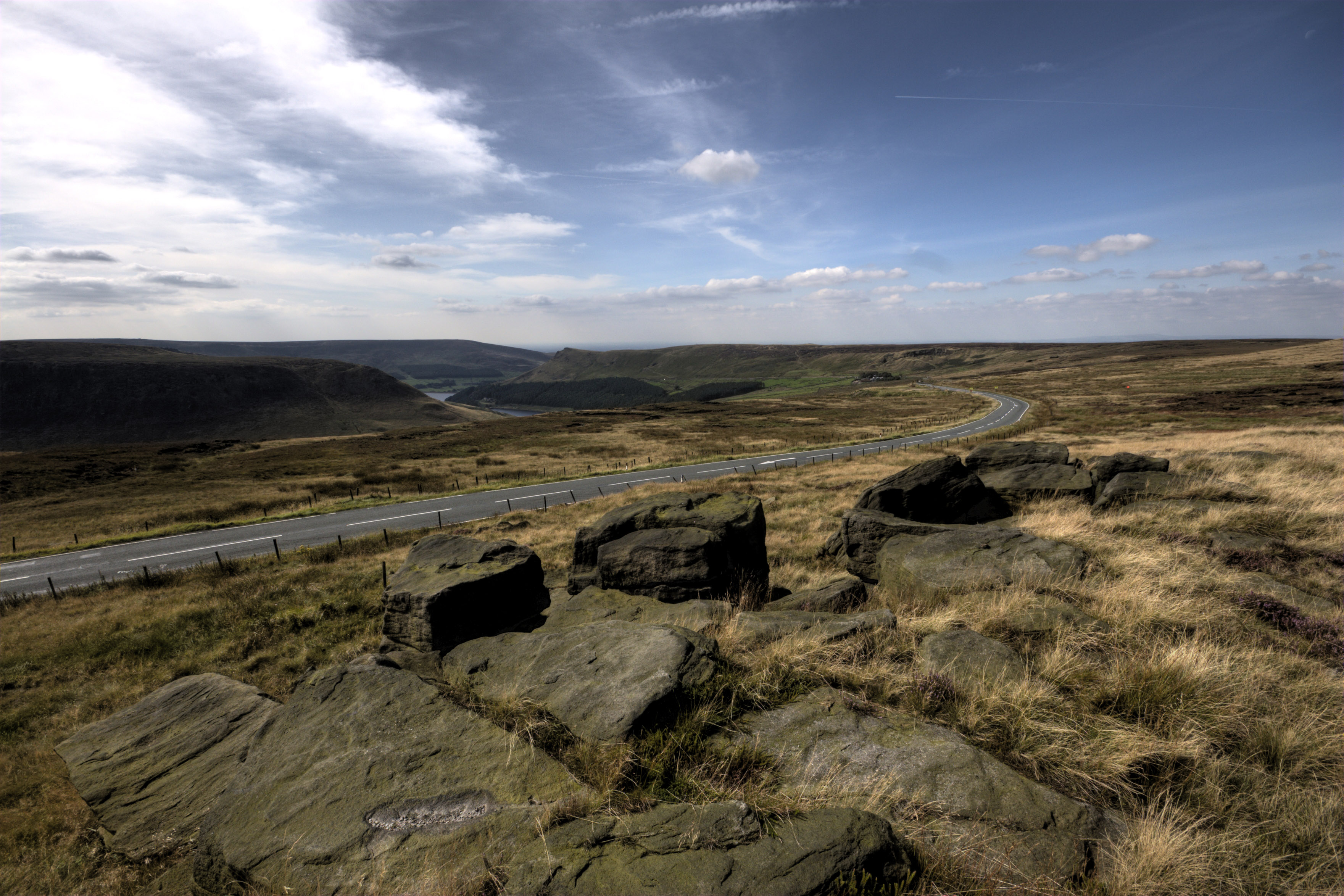
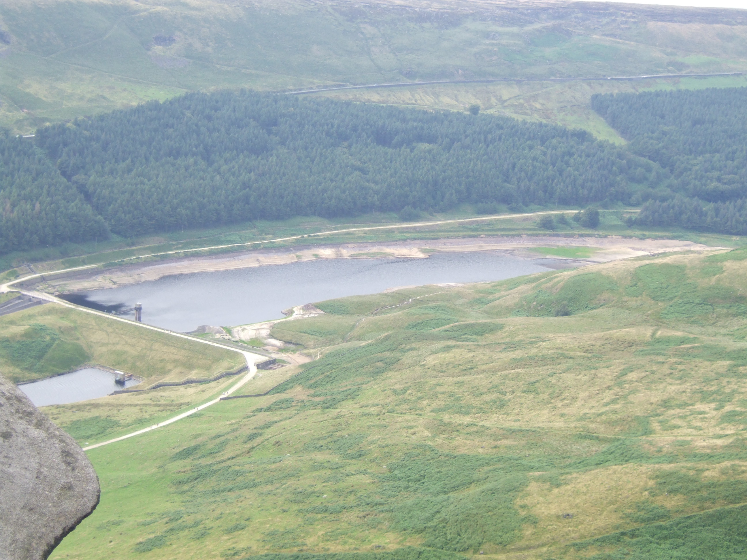
The landscape of South Clough Moss is characterized by rolling hills, heather-covered moorland, and expansive grasslands. These open spaces are interspersed with scattered rocky outcrops, adding a rugged charm to the area. The region is crisscrossed by several streams and small rivers, which contribute to the creation of numerous wetland areas, enhancing the biodiversity of the region.

The flora and fauna of South Clough Moss are incredibly diverse. The moorland is adorned with vibrant purple heather during the summer months, providing a breathtaking sight for visitors. The grasslands are home to a variety of wildflowers, including cowslips, orchids, and primroses. The wetland areas support a wide array of aquatic plants, such as water lilies and reeds.

The region is also a haven for wildlife enthusiasts, as it is home to a rich assortment of animal species. Visitors can spot several species of birds, including red grouse, curlews, and lapwings, soaring through the skies above. The marshy areas provide a habitat for various amphibians and reptiles, such as frogs, newts, and adders. Mammals like hares, roe deer, and foxes can also be spotted in the area.

South Clough Moss is a true gem of Yorkshire, offering visitors a chance to immerse themselves in the beauty of nature and explore the diverse landscapes that this region has to offer.

If you have any feedback on the listing, please let us know in the comments section below.

South Clough Moss Images

Images are sourced within 2km of 53.559566/-1.9528764 or Grid Reference SE0306. Thanks to Geograph Open Source API. All images are credited.

Black Moss Reservoir dam wall
The Pennine Way near Swellands reservoir
The Pennine Way near Black Moss Reservoir
Old milestone The 2 miles from Greenfield West Riding CC milestone, now in Greater Manchester, is on the west side of the A635.  The 3 mile stone minus its attachment was seen in 2002 but has since disappeared altogether.  Many of the milestones in this area known as Saddleworth were painted several years ago.   Now ready for a repaint although the legends can be read.  Neither the 2 or 3 mile stones were 'listed'.
Old milestone
The 2 miles from Greenfield West Riding CC milestone, now in Greater Manchester, is on the west side of the A635. The 3 mile stone minus its attachment was seen in 2002 but has since disappeared altogether. Many of the milestones in this area known as Saddleworth were painted several years ago. Now ready for a repaint although the legends can be read. Neither the 2 or 3 mile stones were 'listed'.
Old milestone The Greenfield and Shepley Lane Head tollroad existed from 1823 to the early 1880s.   About 2 metres to the right of the West Riding CC milestone can just be made out an old stone at the edge of the uncut longer grass.   It is thought that this is a milestone from the turnpike era although no inscription can be made out.
Old milestone
The Greenfield and Shepley Lane Head tollroad existed from 1823 to the early 1880s. About 2 metres to the right of the West Riding CC milestone can just be made out an old stone at the edge of the uncut longer grass. It is thought that this is a milestone from the turnpike era although no inscription can be made out.
Greenfield Reservoir Dam
Dam Wall at Greenfield Reservoir
Ashway Edge Reflected in Greenfield Reservoir
Footpath by Greenfield Brook
Saddleworth Trig Point Flush Bracket S4403
Public Footpath Sign
Path towards Broadstone Hill
Old milestone Looking northwards along the A635 the width of the backing stone that was used on these West Riding CC milestones can be appreciated.  The family firm of Gill and Frank Stead, stonemasons, of Mirfield won the contract to erect the 615 milestones all over the West Riding.   The work had to be done in 12 months or a penalty incurred.   They achieved that target but just consider the state of the roads at that time particularly over the Pennines in winter.
Old milestone
Looking northwards along the A635 the width of the backing stone that was used on these West Riding CC milestones can be appreciated. The family firm of Gill and Frank Stead, stonemasons, of Mirfield won the contract to erect the 615 milestones all over the West Riding. The work had to be done in 12 months or a penalty incurred. They achieved that target but just consider the state of the roads at that time particularly over the Pennines in winter.
Diggle Mill The mill and mill house perched above Diggle Brook. The platform the mill stands on appears to need attention to the retaining wall.
Diggle Mill
The mill and mill house perched above Diggle Brook. The platform the mill stands on appears to need attention to the retaining wall.
Rifle range by Diggle Reservoir The sports association do not appear to share this part of access land with no indication of when it is safe to enter.
Rifle range by Diggle Reservoir
The sports association do not appear to share this part of access land with no indication of when it is safe to enter.
Road bridge across Diggle Brook The road connects the properties around Diggle Mill with Diggle.
Road bridge across Diggle Brook
The road connects the properties around Diggle Mill with Diggle.
Show me another place!

South Clough Moss is located at Grid Ref: SE0306 (Lat: 53.559566, Lng: -1.9528764)

Division: West Riding

Unitary Authority: Oldham

Police Authority: Greater Manchester

What 3 Words

///revealing.sling.branded. Near Diggle, Manchester

Related Wikis

Greenfield Reservoir

Greenfield Reservoir is a reservoir in the Saddleworth parish of the Metropolitan Borough of Oldham in Greater Manchester, in the English Peak District...

Greenfield Valley

Greenfield Valley is a river valley through Saddleworth Moor in England's Peak District National Park. Historically this area of the South Pennines was...

Saddleworth Moor

Saddleworth Moor is a moorland in North West England. Reaching more than 1,312 feet (400 m) above sea level, it is in the Dark Peak area of the Peak District...

Yeoman Hey Reservoir

Yeoman Hey Reservoir is a reservoir in the English Peak District. On its margin is a commemorative stone laid by the King of Tonga in 1981. The reservoir...

Have you been to South Clough Moss?

Leave your review of South Clough Moss below (or comments, questions and feedback).