Compton Bassett Park
Downs, Moorland in Wiltshire
England
Compton Bassett Park
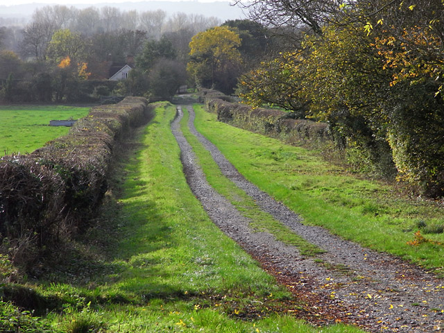
Compton Bassett Park is a scenic and picturesque park located in the county of Wiltshire, England. Situated on the downs and moorland, the park offers visitors a diverse and captivating natural environment to explore.
Covering an area of approximately 500 acres, Compton Bassett Park is known for its rolling hills, open grassland, and heathland. The park's landscape is characterized by the presence of various flora and fauna, including wildflowers, gorse, and heather. This rich biodiversity makes it a haven for nature enthusiasts and wildlife lovers.
Visitors to the park can enjoy a range of activities and recreational opportunities. There are well-maintained walking trails that allow visitors to immerse themselves in the beauty of the park while enjoying a leisurely stroll or more challenging hikes. The park also offers designated areas for picnicking and birdwatching, providing a tranquil and serene setting for relaxation.
One of the standout features of Compton Bassett Park is its stunning panoramic views. From certain vantage points, visitors can admire the surrounding countryside, including the nearby ancient sites such as Avebury, Silbury Hill, and the West Kennet Long Barrow.
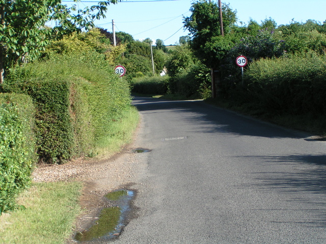
Compton Bassett Park is easily accessible, with ample parking available for visitors. The park management ensures the facilities are well-maintained, including clean and well-equipped restrooms and picnic areas. Additionally, there are information boards throughout the park, providing educational insights into the local history and ecology.
Overall, Compton Bassett Park offers a remarkable natural experience, with its diverse landscape, captivating views, and abundant wildlife. It is an ideal destination for outdoor enthusiasts, families, and individuals seeking to immerse themselves in the tranquility and beauty of the Wiltshire countryside.
If you have any feedback on the listing, please let us know in the comments section below.
Compton Bassett Park Images
Images are sourced within 2km of 51.439598/-1.9562574 or Grid Reference SU0371. Thanks to Geograph Open Source API. All images are credited.


Compton Bassett Park is located at Grid Ref: SU0371 (Lat: 51.439598, Lng: -1.9562574)
Unitary Authority: Wiltshire
Police Authority: Wiltshire
What 3 Words
///butternut.edgy.blazed. Near Calne, Wiltshire
Nearby Locations
Related Wikis

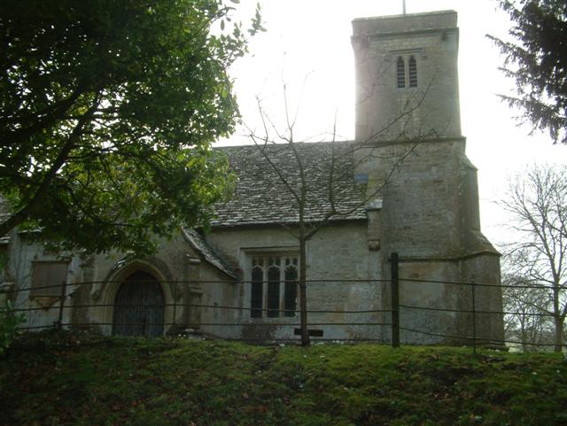
Compton Bassett
Compton Bassett is a village and rural civil parish in Wiltshire, England, with a population of approximately 250. The village lies about 1 mile (1.6 km...

Cherhill
Cherhill is a village and civil parish in Wiltshire, England. The village is about 2+1⁄2 miles (4 km) east of the town of Calne, on the A4 road towards...

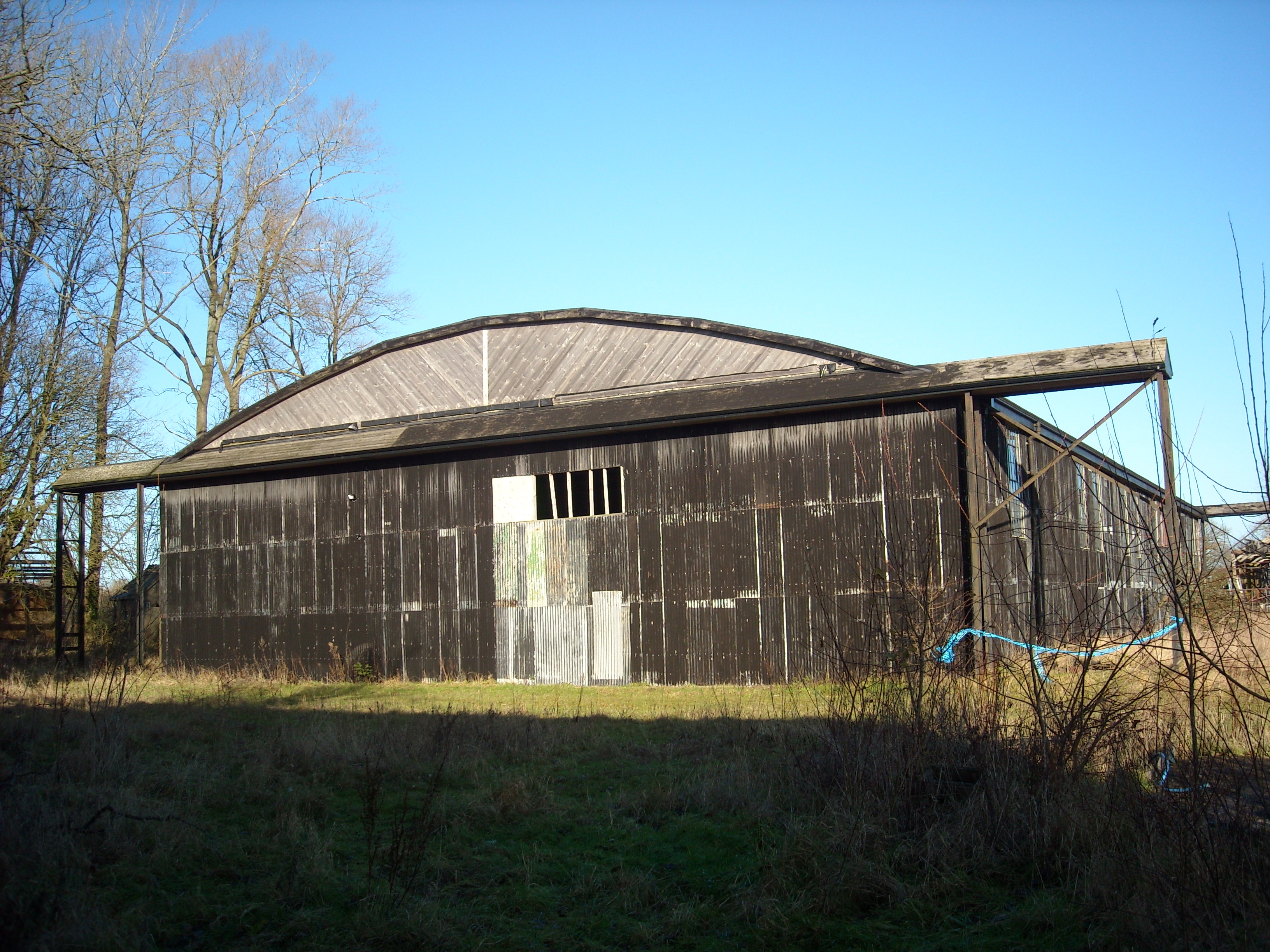
RAF Compton Bassett
RAF Compton Basset was an RAF station Wiltshire, England, about 1 mile (1.6 km) east of the town of Calne.First opened as an RAF station in 1940 and used...
RAF Yatesbury
RAF Yatesbury is a former Royal Air Force airfield near the village of Yatesbury, Wiltshire, England, about 4 miles (6 km) east of the town of Calne. It...
Calstone
Calstone is a former tithing and manor in Wiltshire, England, lying southeast of Calne and adjacent to Calstone Wellington. The area was almost certainly...

Cherhill White Horse
Cherhill White Horse is a hill figure on Cherhill Down, 3.5 miles east of Calne in Wiltshire, England. Dating from the late 18th century, it is the third...

Lansdowne Monument
The Lansdowne Monument, also known as the Cherhill Monument, near Cherhill in Wiltshire, England, is a 38-metre (125 foot) stone obelisk erected in 1845...

Calstone and Cherhill Downs
Calstone and Cherhill Downs (grid reference SU047692) is a 128.6 hectare biological Site of Special Scientific Interest in Wiltshire, notified in 1971...
Nearby Amenities
Located within 500m of 51.439598,-1.9562574Have you been to Compton Bassett Park?
Leave your review of Compton Bassett Park below (or comments, questions and feedback).