Arnfield Flats
Downs, Moorland in Cheshire High Peak
England
Arnfield Flats
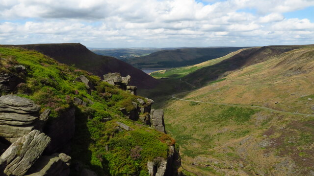
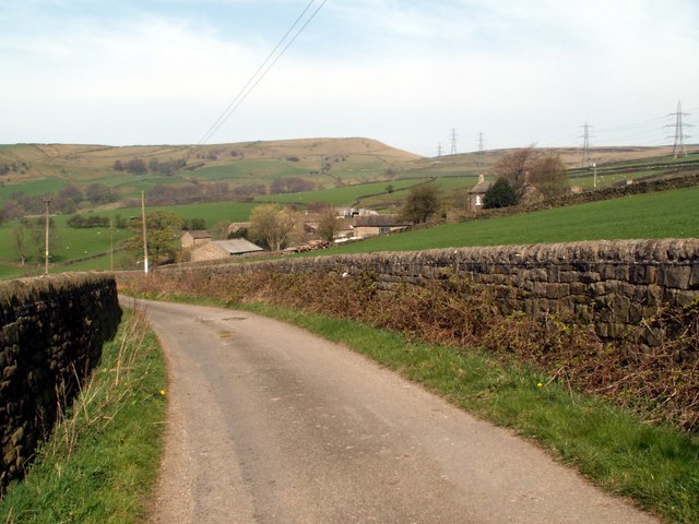
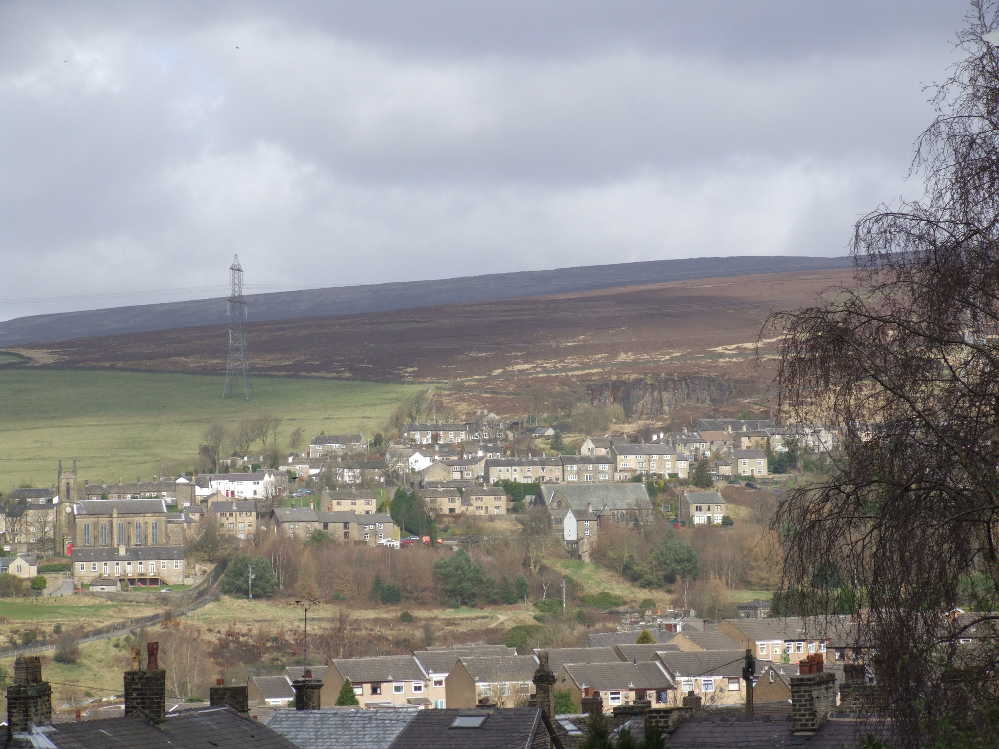
Arnfield Flats is a picturesque area located in Cheshire, England. Situated amidst the stunning Downs and Moorland landscapes, it offers a unique blend of natural beauty and tranquility. The flats are characterized by their vast open spaces, offering captivating views of the surrounding countryside.
The area is renowned for its rich history, with evidence of human habitation dating back to prehistoric times. Visitors can explore ancient burial mounds and discover remnants of Bronze Age settlements, adding an intriguing historical dimension to the region.
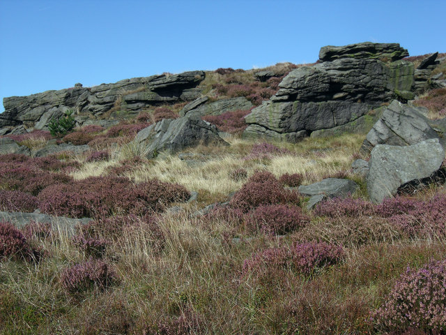
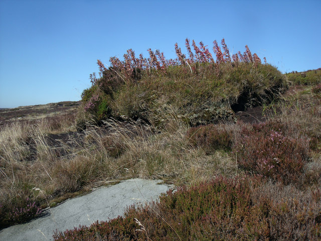
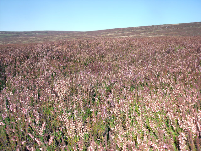
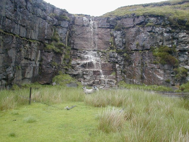
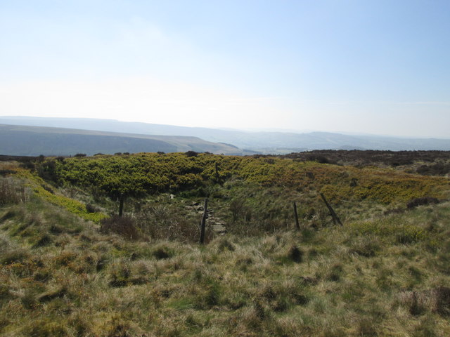
Nature enthusiasts will find themselves in paradise at Arnfield Flats. The Moorland terrain is home to a diverse range of flora and fauna, making it a haven for wildlife. Rare bird species, such as curlews and lapwings, can be spotted in the area, delighting birdwatchers and nature lovers alike.
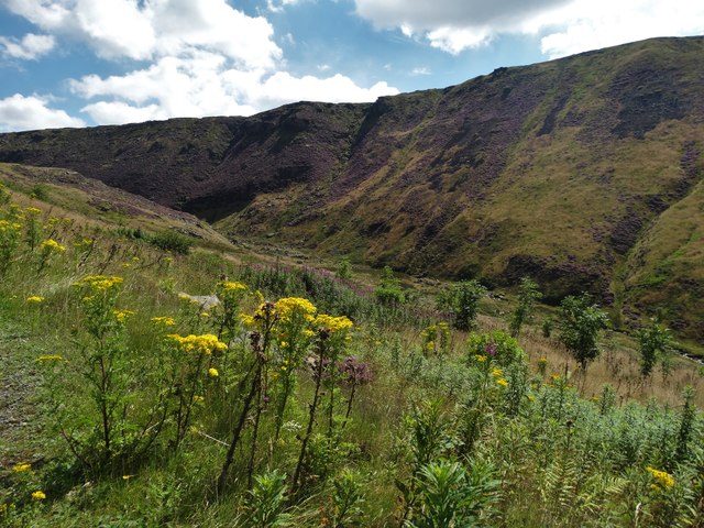
The Downs, on the other hand, offer rolling hills and sweeping panoramic views. Hikers and walkers can embark on scenic trails, taking in the breathtaking vistas along the way. The area is also popular for horseback riding, with several equestrian trails available for exploration.
Arnfield Flats is not only a haven for nature enthusiasts but also a place for outdoor activities. The wide open spaces provide ample opportunities for picnics, kite flying, and family gatherings. The peaceful surroundings create a perfect environment for relaxation and rejuvenation, away from the hustle and bustle of city life.
In conclusion, Arnfield Flats in Cheshire is a magnificent destination that combines natural beauty, historical significance, and recreational opportunities. Whether visitors are seeking a tranquil retreat or an adventurous experience in the great outdoors, this area has something for everyone to enjoy.
If you have any feedback on the listing, please let us know in the comments section below.
Arnfield Flats Images
Images are sourced within 2km of 53.497784/-1.9631499 or Grid Reference SE0200. Thanks to Geograph Open Source API. All images are credited.


Arnfield Flats is located at Grid Ref: SE0200 (Lat: 53.497784, Lng: -1.9631499)
Administrative County: Derbyshire
District: High Peak
Police Authority: Derbyshire
What 3 Words
///acoustics.fingernails.sprain. Near Hollingworth, Manchester
Nearby Locations
Related Wikis

Chew Valley, Greater Manchester
Chew Valley in Saddleworth, Greater Manchester, England, follows the course of Chew Brook on the western slopes of Black Chew Head to where it joins the...

Chew Reservoir
Chew Reservoir is a reservoir at the head of the Chew Valley in the Peak District National Park in Greater Manchester, England. The reservoir scheme in...

Higher Swineshaw Reservoir
For the reservoirs near Glossop, in Derbyshire, see Upper Swineshaw Reservoir and Swineshaw Reservoir (Derbyshire) Higher Swineshaw Reservoir is the...

Featherbed Moss
Featherbed Moss is a flat-topped hill, 541 metres (1,775 ft) high, in the Peak District in the county of Derbyshire in England. It is sometimes mistakenly...

Lower Swineshaw Reservoir
Lower Swineshaw Reservoir is the second reservoir from the top of a series of four in the Brushes valley above Stalybridge in Greater Manchester. It was...
Arnfield
Arnfield is an area of Derbyshire, England. It is located on the north side of Tintwistle (where the population is included), adjacent to the Arnfield...

Valehouse Reservoir
Valehouse (or Vale House) Reservoir is a man-made lake in Longdendale in north Derbyshire, England. It was built between 1865 and 1869 as part of the...
Tintwistle
Tintwistle ( TIN-səl) is a village and civil parish in the High Peak district of Derbyshire, England, which had a population of 1,400 at the 2011 census...
Nearby Amenities
Located within 500m of 53.497784,-1.9631499Have you been to Arnfield Flats?
Leave your review of Arnfield Flats below (or comments, questions and feedback).