Harras
Settlement in Cumberland Copeland
England
Harras
Harras, Cumberland is a small village located in the county of Cumbria, in the northwest of England. Situated near the border with Scotland, the village is nestled amidst the picturesque landscape of the North Pennines Area of Outstanding Natural Beauty.
The village of Harras is known for its tranquil and rural atmosphere, offering its residents and visitors a peaceful escape from the hustle and bustle of city life. Surrounded by rolling hills, lush green fields, and meandering rivers, the village is an ideal destination for nature lovers and outdoor enthusiasts.
Despite its small size, Harras boasts a close-knit community that takes pride in preserving the village's heritage and traditions. The charming architecture of the village includes quaint cottages made of local stone, giving it a distinct rural character.
While Harras may not offer a wide range of amenities, it provides essential services such as a local pub, a small convenience store, and a primary school, ensuring that the basic needs of its residents are met. For additional amenities, the nearby market town of Carlisle is easily accessible, offering a wider range of shops, restaurants, and leisure facilities.
Harras also benefits from its proximity to various attractions and activities. The stunning Lake District National Park is within driving distance, providing opportunities for hiking, boating, and enjoying the breathtaking scenery. Additionally, the historic Hadrian's Wall is nearby, allowing visitors to explore ancient Roman ruins and learn about the area's rich history.
Overall, Harras, Cumberland offers a peaceful and picturesque rural setting, making it an idyllic place for those seeking a slower pace of life and a connection with nature.
If you have any feedback on the listing, please let us know in the comments section below.
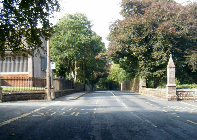
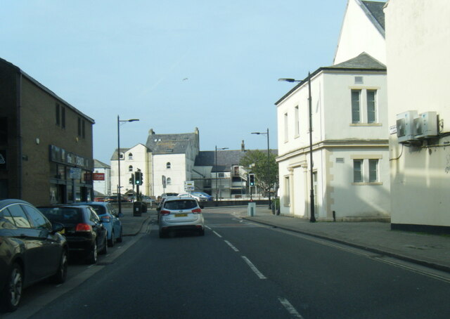
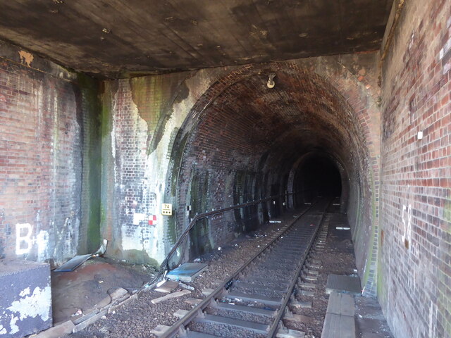
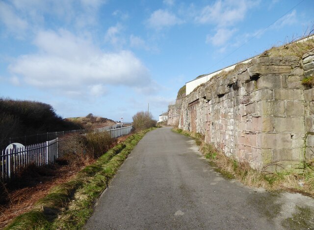
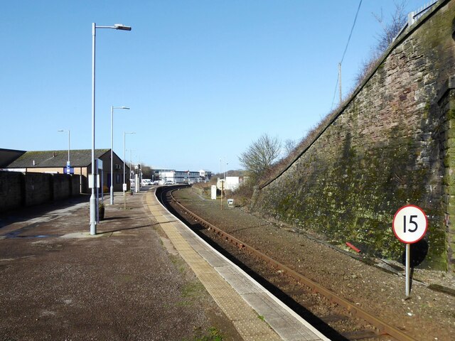
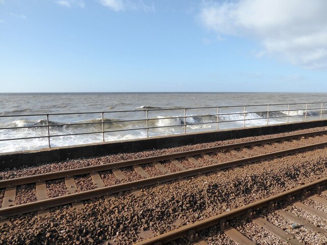
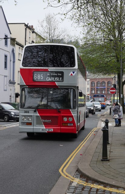
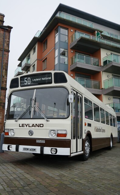
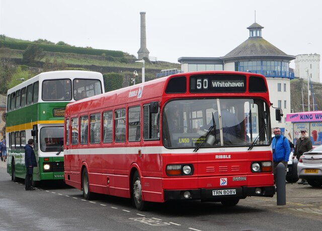
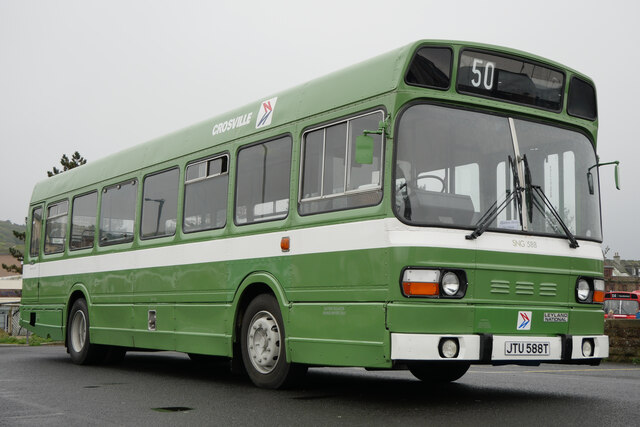
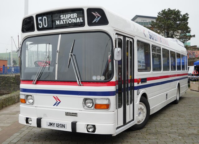
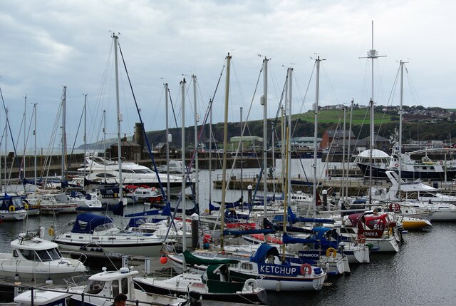
Harras Images
Images are sourced within 2km of 54.546941/-3.578348 or Grid Reference NX9818. Thanks to Geograph Open Source API. All images are credited.


Harras is located at Grid Ref: NX9818 (Lat: 54.546941, Lng: -3.578348)
Administrative County: Cumbria
District: Copeland
Police Authority: Cumbria
What 3 Words
///asterisk.owner.sang. Near Whitehaven, Cumbria
Nearby Locations
Related Wikis
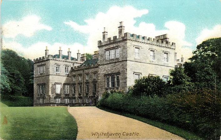
Whitehaven Castle
Whitehaven Castle is a historic building in Whitehaven, Cumbria. It is a Grade II listed building. == History == The building was constructed for Sir John...

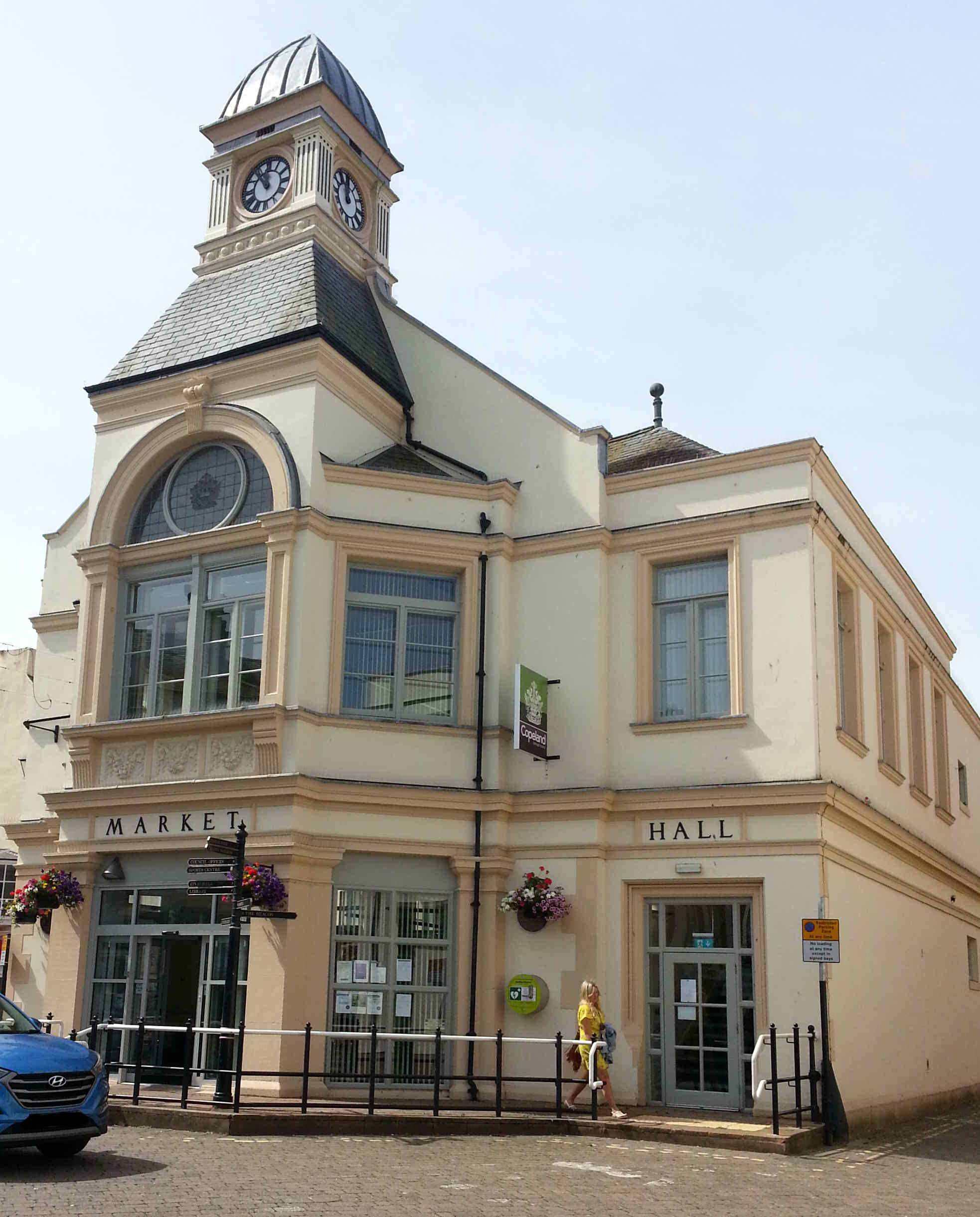
Whitehaven Town Hall
Whitehaven Town Hall is a municipal building in Duke Street in Whitehaven, Cumbria, England. The building, which was the headquarters of Whitehaven Borough...
Whitehaven
Whitehaven is a town and port on the English north west coast and near to the Lake District National Park in Cumberland, Cumbria, England. It lies by road...
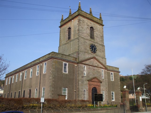
St James' Church, Whitehaven
St James' Church is in High Street, Whitehaven, Cumbria, England, at the crossing with the top of Queen Street. It stands in an elevated position overlooking...
Nearby Amenities
Located within 500m of 54.546941,-3.578348Have you been to Harras?
Leave your review of Harras below (or comments, questions and feedback).