Cocklake Flat
Downs, Moorland in Yorkshire Harrogate
England
Cocklake Flat
Cocklake Flat is a picturesque area situated in the heart of Yorkshire, England. Nestled amidst the breathtaking landscapes of the Yorkshire Downs and Moorland, this region is renowned for its natural beauty and tranquil surroundings.
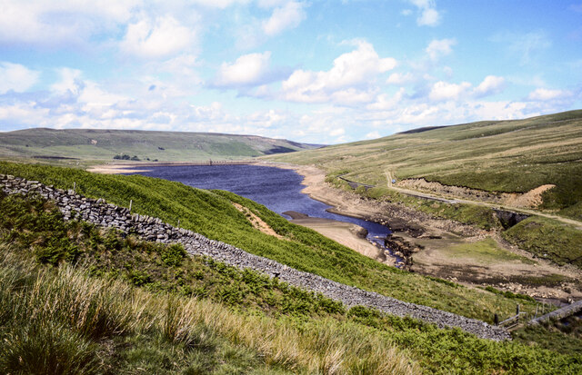
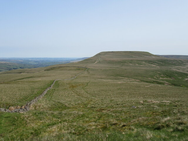
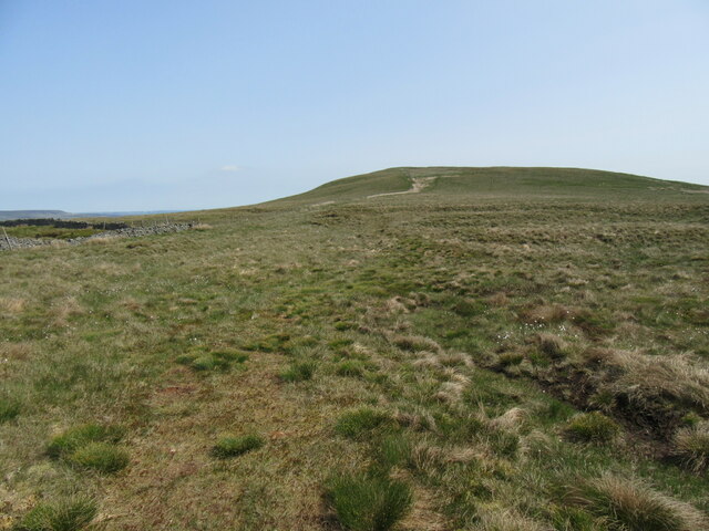
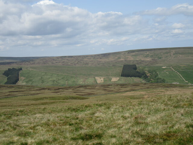
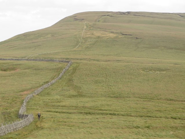
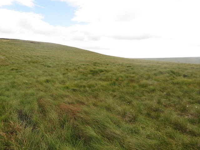
The defining feature of Cocklake Flat is its vast expanse of flat, open land, which stretches for miles, providing an idyllic setting for outdoor enthusiasts and nature lovers. The flat terrain allows for easy exploration and leisurely walks, offering panoramic views of the surrounding countryside.
The Yorkshire Downs, with their rolling hills and green pastures, serve as a stunning backdrop to Cocklake Flat. This area is home to a diverse range of wildlife, including various species of birds, mammals, and wildflowers. Nature enthusiasts can spot rare and unique species as they enjoy a leisurely stroll through the countryside.
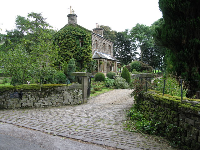
In addition to its natural beauty, Cocklake Flat also offers visitors a glimpse into the region's rich history. The area is dotted with ancient ruins and historic landmarks, providing a fascinating insight into the past. Visitors can explore centuries-old churches, castles, and archaeological sites, immersing themselves in the rich cultural heritage of Yorkshire.
Cocklake Flat is a haven for those seeking solace and serenity amidst breathtaking natural landscapes. Whether it's a leisurely walk, birdwatching, or exploring the area's history, this picturesque region offers something for everyone. It is a must-visit destination for nature enthusiasts and history buffs alike, providing a delightful escape from the hustle and bustle of modern life.
If you have any feedback on the listing, please let us know in the comments section below.
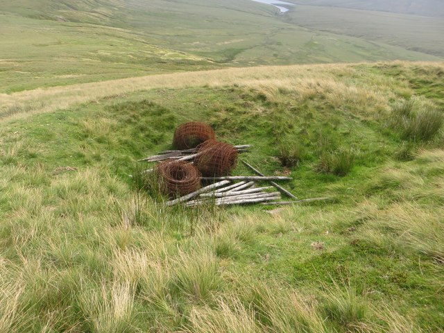
Cocklake Flat Images
Images are sourced within 2km of 54.173144/-1.9639046 or Grid Reference SE0275. Thanks to Geograph Open Source API. All images are credited.


Cocklake Flat is located at Grid Ref: SE0275 (Lat: 54.173144, Lng: -1.9639046)
Division: West Riding
Administrative County: North Yorkshire
District: Harrogate
Police Authority: North Yorkshire
What 3 Words
///padding.elect.wisely. Near Grassington, North Yorkshire
Nearby Locations
Related Wikis
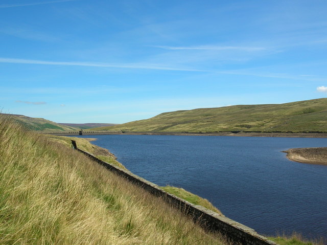
Angram Reservoir
Angram Reservoir is the first of three reservoirs on the River Nidd in Upper Nidderdale, North Yorkshire, England, the others being Scar House Reservoir...
Nidd Valley Light Railway
Nidd Valley Light Railway was a light railway in upper Nidderdale in the West Riding of Yorkshire, England. It was owned by Bradford Corporation Waterworks...

Little Whernside
Little Whernside is a hill in the Yorkshire Dales, North Yorkshire, England, 2.82 miles (4.54 km) north east of Great Whernside. It is on the boundary...

Great Whernside
Great Whernside is a fell in the Yorkshire Dales, England, not to be confused with Whernside, some 17 miles (27 km) to the west. Its summit is the highest...
Have you been to Cocklake Flat?
Leave your review of Cocklake Flat below (or comments, questions and feedback).