Gilvatt's Allotment
Downs, Moorland in Yorkshire
England
Gilvatt's Allotment

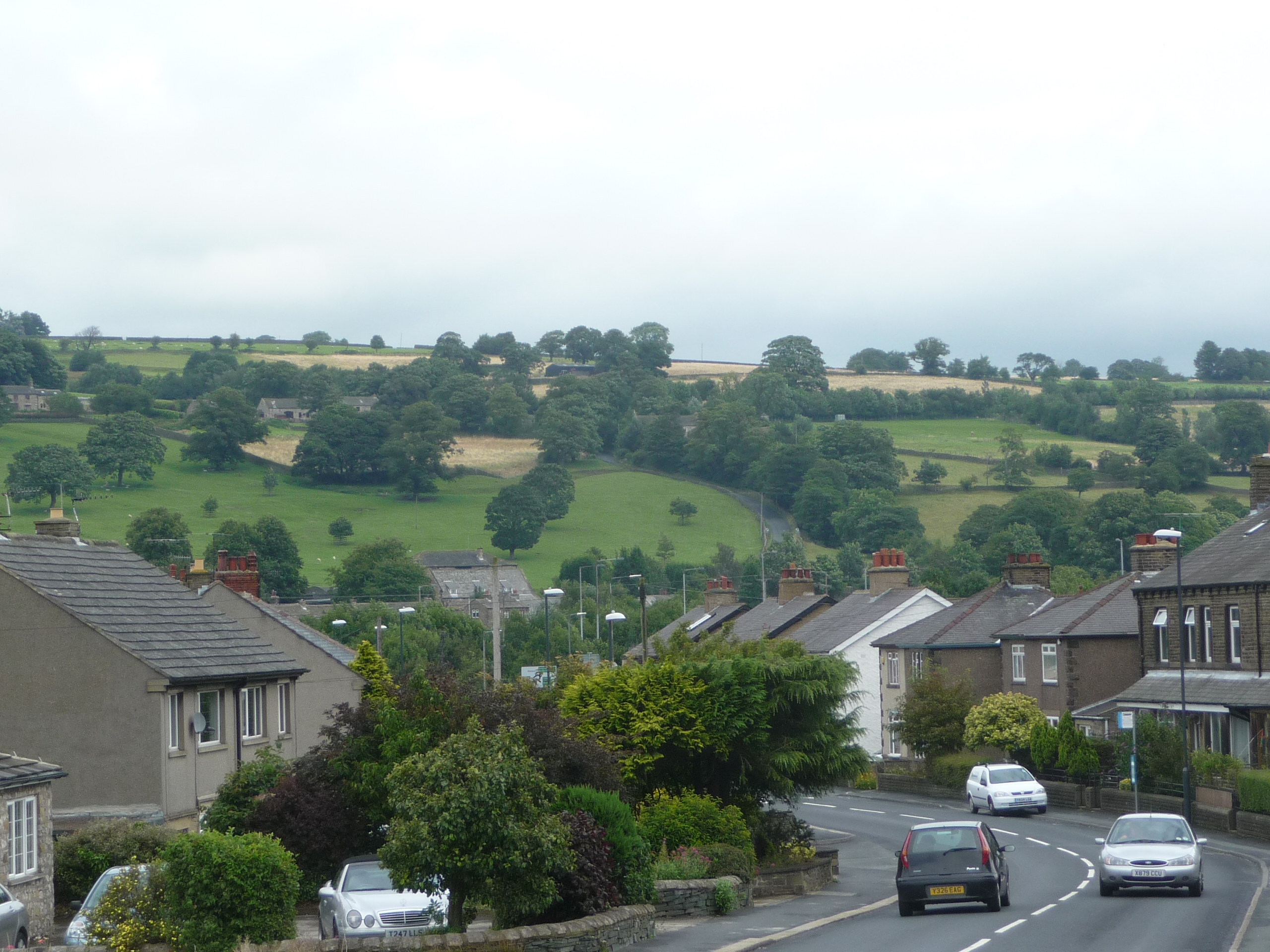
Gilvatt's Allotment is a picturesque and sprawling piece of land located in the heart of Yorkshire, encompassing both the Downs and Moorland regions. Covering an area of approximately 100 acres, this allotment is a haven for nature enthusiasts and those seeking solace amidst stunning landscapes.
The Downs portion of Gilvatt's Allotment showcases rolling hills and expansive grasslands, offering breathtaking views of the surrounding countryside. It is home to a diverse range of flora and fauna, including wildflowers, grasses, and numerous bird species. The gentle slopes of the Downs make it an ideal place for leisurely walks and picnics, providing visitors with a serene and tranquil ambiance.
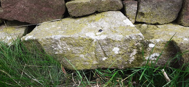
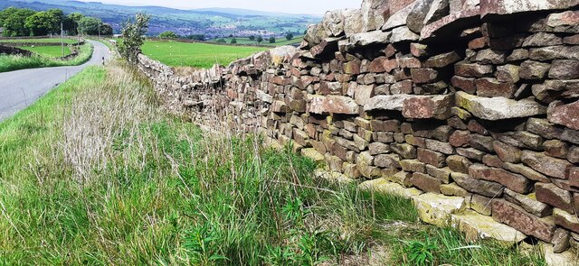
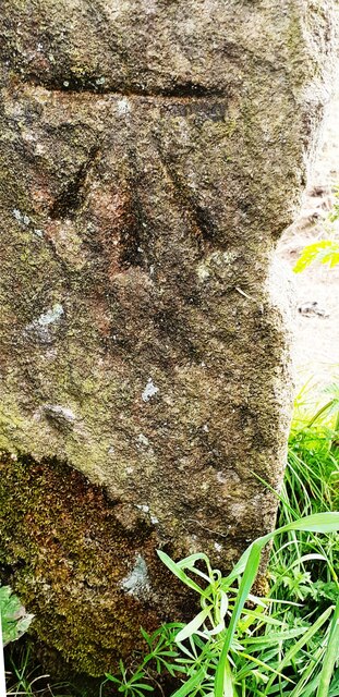
On the other hand, the Moorland section of Gilvatt's Allotment presents a more rugged and untamed landscape. Here, visitors can experience the raw beauty of Yorkshire's moors, with its heather-covered hills, rocky outcrops, and vast expanses of open space. The Moorland is a habitat for a variety of wildlife, including grouse, rabbits, and occasionally, deer. Hiking enthusiasts and nature photographers are particularly drawn to this area, as its dramatic scenery offers countless opportunities for exploration and capturing striking images.
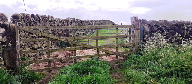
Gilvatt's Allotment also features well-maintained footpaths and designated areas for camping, ensuring accessibility and convenience for visitors. The site is carefully managed to preserve its natural beauty while providing a venue for people to connect with nature. Whether one desires a peaceful retreat or an adventure in the great outdoors, Gilvatt's Allotment offers a captivating experience in the heart of Yorkshire's Downs and Moorland.
If you have any feedback on the listing, please let us know in the comments section below.
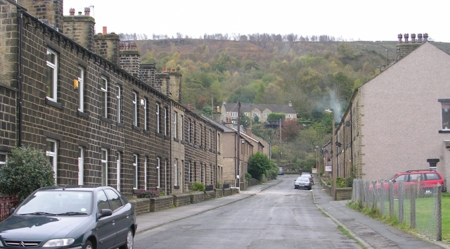
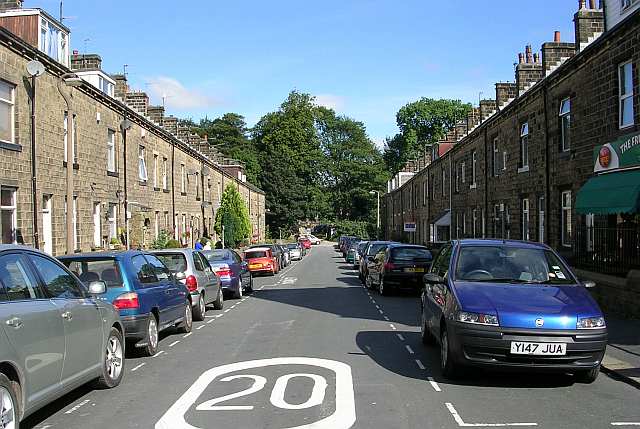
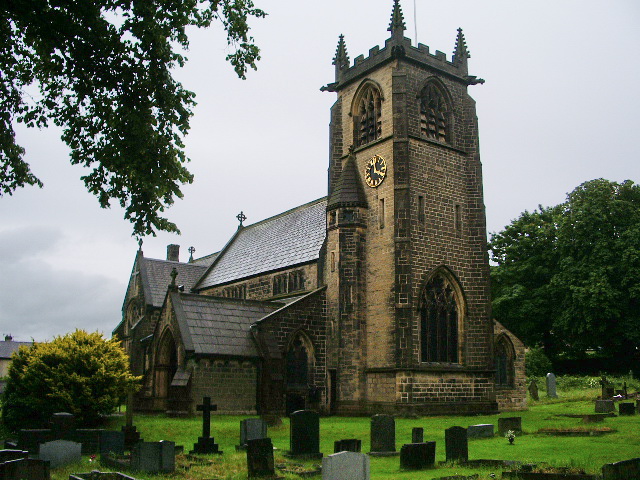
Gilvatt's Allotment Images
Images are sourced within 2km of 53.885766/-1.9664176 or Grid Reference SE0243. Thanks to Geograph Open Source API. All images are credited.


Gilvatt's Allotment is located at Grid Ref: SE0243 (Lat: 53.885766, Lng: -1.9664176)
Division: West Riding
Unitary Authority: Bradford
Police Authority: West Yorkshire
What 3 Words
///frog.fault.generally. Near Steeton, West Yorkshire
Nearby Locations
Related Wikis
Eastburn, West Yorkshire
Eastburn is a village within the Steeton with Eastburn civil parish, in the City of Bradford Metropolitan District, West Yorkshire, England. The road...
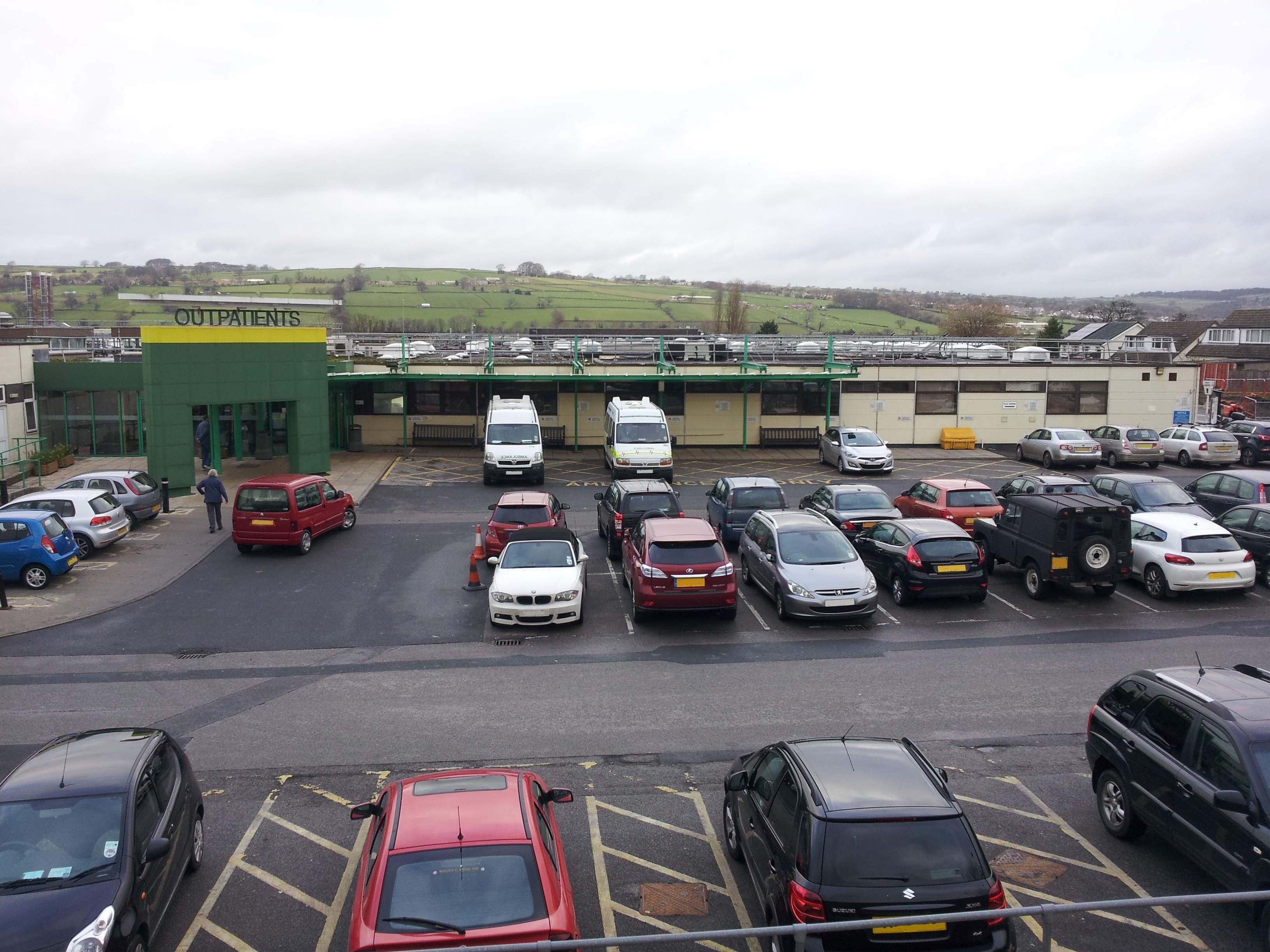
Airedale General Hospital
Airedale General Hospital is an NHS district General Hospital based in Steeton with Eastburn, West Yorkshire, England and is operated by the Airedale NHS...

Steeton with Eastburn
Steeton with Eastburn is a civil parish within the City of Bradford Metropolitan District, West Yorkshire, England. Historically part of the West Riding...
Steeton, West Yorkshire
Steeton is a village in the City of Bradford metropolitan borough, West Yorkshire, England. Historically part of the West Riding of Yorkshire, it is situated...
Sutton-in-Craven
Sutton-in-Craven is a village, electoral ward and (as just Sutton) a civil parish in the Craven district of North Yorkshire, England that is situated in...

Steeton A.F.C.
Steeton Association Football Club is an English football club based in Steeton, West Yorkshire. They are currently members of the North West Counties League...
Cross Hills
Cross Hills is a village in the Craven district of North Yorkshire, England that is situated halfway between Skipton and Keighley. The village is at the...
South Craven School
South Craven School is a coeducational secondary school and sixth form with academy status, located in Cross Hills, North Yorkshire, England. It is the...
Nearby Amenities
Located within 500m of 53.885766,-1.9664176Have you been to Gilvatt's Allotment?
Leave your review of Gilvatt's Allotment below (or comments, questions and feedback).