Orchard Common

Downs, Moorland in Staffordshire Staffordshire Moorlands

England

Orchard Common

View from the Longnor Road To "The Knights Table" inn - by the A53 Buxton/Leek road.
View from the Longnor Road Credit: Neil Theasby

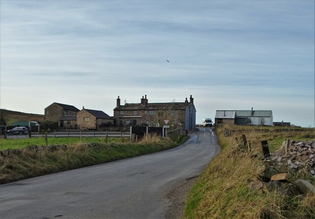
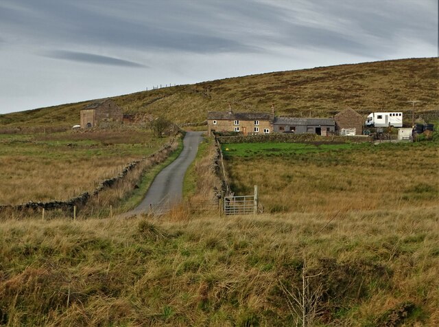
Orchard Common is a picturesque area located in Staffordshire, England. Situated amidst the stunning Downs and Moorland landscapes, it offers visitors a tranquil and idyllic escape from the hustle and bustle of everyday life.

The common is known for its expansive orchards, filled with a variety of fruit trees such as apples, pears, and plums. During the spring and summer months, the orchards come alive with vibrant blossoms, creating a stunning display of colors. In the autumn, the trees bear fruit, attracting locals and tourists alike who come to pick their own fresh produce.

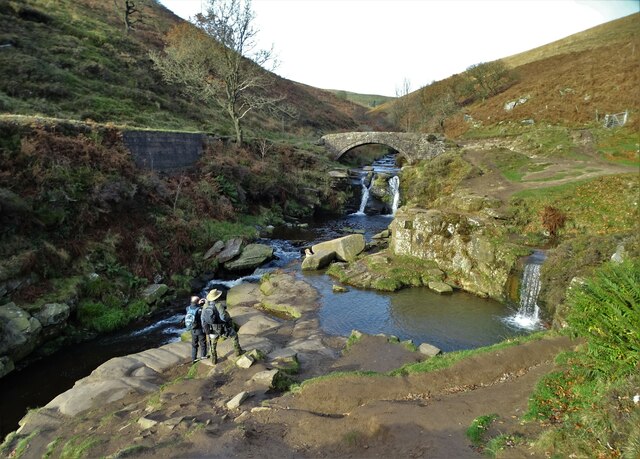
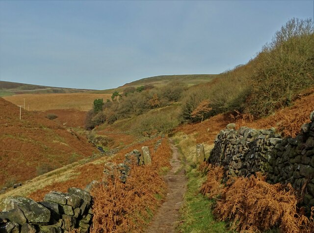
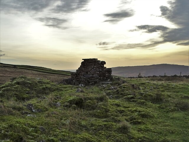
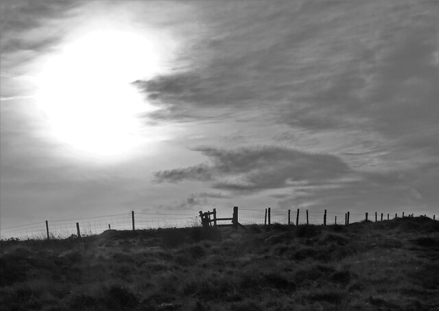
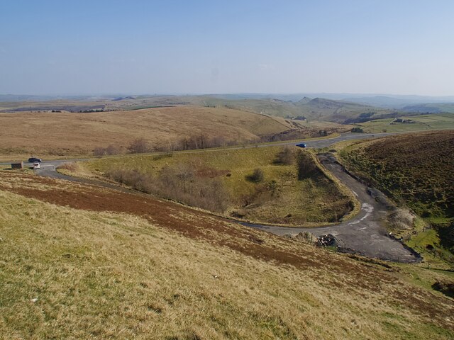
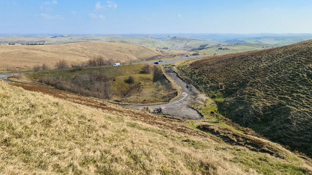
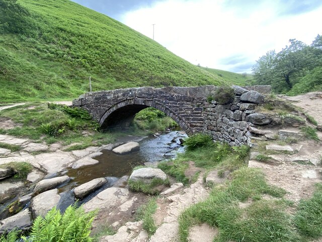
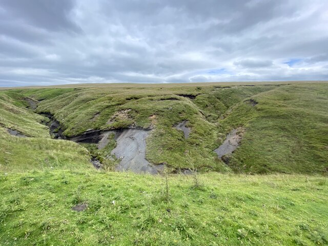
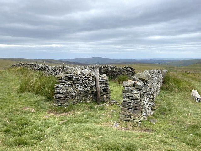
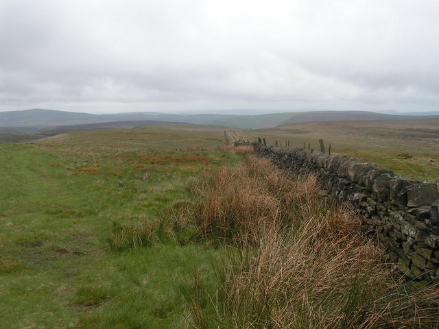
The Downs and Moorland surrounding Orchard Common are a haven for nature enthusiasts and outdoor lovers. With its rolling hills, open grasslands, and heather-covered moors, the area offers endless opportunities for hiking, biking, and horseback riding. Visitors can explore the numerous trails that traverse the landscape, taking in breathtaking views and encountering a rich diversity of flora and fauna.

For those looking to immerse themselves in the local culture, Orchard Common is also home to several charming villages and historic sites. Traditional pubs and tea rooms dot the area, providing a perfect spot to relax and enjoy some of the local delicacies. Nearby, visitors can explore ancient ruins and historic landmarks, offering a glimpse into the region's rich history.

Overall, Orchard Common in Staffordshire is a hidden gem, offering a blend of natural beauty, outdoor activities, and cultural experiences. Whether it's picking fresh fruit, embarking on a scenic hike, or simply enjoying the peaceful atmosphere, this area has something to offer for everyone.

If you have any feedback on the listing, please let us know in the comments section below.

Orchard Common Images

Images are sourced within 2km of 53.218347/-1.9679412 or Grid Reference SK0269. Thanks to Geograph Open Source API. All images are credited.

View from the Longnor Road To "The Knights Table" inn - by the A53 Buxton/Leek road.
View from the Longnor Road
To "The Knights Table" inn - by the A53 Buxton/Leek road.
St Paul's Church, Flash In the parish of Quarnford, the construction of St Paul's Church began in 1743.
St Paul's Church, Flash
In the parish of Quarnford, the construction of St Paul's Church began in 1743.
Three Shires Head Bridge - crossing The River Dane This is where the ancient ceremonial counties of Cheshire, Staffordshire and Derbyshire meet. Three Shires Head is also known as Three Shires Heads - both versions are acceptable. The pool to the right is I think known as Panniers Pool - often braved by hardy swimmers.
Three Shires Head Bridge - crossing The River Dane
This is where the ancient ceremonial counties of Cheshire, Staffordshire and Derbyshire meet. Three Shires Head is also known as Three Shires Heads - both versions are acceptable. The pool to the right is I think known as Panniers Pool - often braved by hardy swimmers.
On the moorland track to Three Shires Head Along the valley of The River Dane
On the moorland track to Three Shires Head
Along the valley of The River Dane
A view of Blackclough Farm
View to Readyleech Green Farm
November View Weather-beaten signpost above the village of Flash, looking out over the Staffordshire moors towards Cheshire.
November View
Weather-beaten signpost above the village of Flash, looking out over the Staffordshire moors towards Cheshire.
Lonely ruin on Oliver Hill Long ago someone might have lived here but more likely it was a sheep barn.
Lonely ruin on Oliver Hill
Long ago someone might have lived here but more likely it was a sheep barn.
On the path to Oliver Hill
Sign on "The New Inn" in Flash Shame about the missing apostrophe and the unnecessary capital "V". Perhaps it was the altitude's fault.
Sign on "The New Inn" in Flash
Shame about the missing apostrophe and the unnecessary capital "V". Perhaps it was the altitude's fault.
Blackclough & Dane Valley Way
Overlooking the A53 Leek - Buxton Road Evidence of the road having been straightened here.
Overlooking the A53 Leek - Buxton Road
Evidence of the road having been straightened here.
A53 below Axe Edge
A53 below Axe Edge
Disused chimney adjacent to the A54 Reeve-edge quarries in the background.
Disused chimney adjacent to the A54
Reeve-edge quarries in the background.
Panniers Pool Bridge At Three Shires Head, where Cheshire, Derbyshire an Staffordshire meet.
Panniers Pool Bridge
At Three Shires Head, where Cheshire, Derbyshire an Staffordshire meet.
Farm track to Blackclough
Orchard Clough South of Axe Edge.
Orchard Clough
South of Axe Edge.
Boundary sheepfold Situated on the boundary of Derbyshire and Staffordshire.
Boundary sheepfold
Situated on the boundary of Derbyshire and Staffordshire.
Show me another place!

Orchard Common is located at Grid Ref: SK0269 (Lat: 53.218347, Lng: -1.9679412)

Administrative County: Staffordshire

District: Staffordshire Moorlands

Police Authority: Staffordshire

What 3 Words

///imitate.binds.atom. Near Buxton, Derbyshire

Nearby Locations

Cheeks Hill Orchard Common

Related Wikis

Cheeks Hill

Cheeks Hill is a hill on Axe Edge Moor in the Peak District, England. It lies just south of the Cat and Fiddle Road near Buxton, and forms part of the...

Three Shire Heads

Three Shire Heads (also known as Three Shires Head) is the point on Axe Edge Moor where Cheshire, Derbyshire and Staffordshire meet, at UK grid reference...

Oliver Hill (Peak District)

Oliver Hill is a hill, 513 metres (1,683 ft) high, in the Peak District in the county of Staffordshire in England. It is a treeless summit surrounded by...

Quarnford

Quarnford is a village and civil parish in the Staffordshire Moorlands district of Staffordshire, England. According to the 2001 census it had a population...

Nearby Amenities

Located within 500m of 53.218347,-1.9679412
Ele: 432
Lat/Long: 53.2168206/-1.9746391
Ele: 439
Lat/Long: 53.2171644/-1.9746666
Barrier: entrance
Source: survey;gps
Lat/Long: 53.2168453/-1.961385
Barrier: stile
Material: stone
Source: survey;gps
Stile: stepover
Lat/Long: 53.2171198/-1.9721233
Barrier: stile
Material: stone
Source: survey;gps
Stile: stepover
Lat/Long: 53.218497/-1.969765
Barrier: stile
Material: wood
Source: survey;gps
Stile: stepover
Lat/Long: 53.2195753/-1.9609062
Barrier: entrance
Source: survey;gps
Lat/Long: 53.2176642/-1.9617532
The data included in this document is from www.openstreetmap.org. The data is made available under ODbL.

Have you been to Orchard Common?

Leave your review of Orchard Common below (or comments, questions and feedback).