Booze Moor

Downs, Moorland in Yorkshire Richmondshire

England

Booze Moor

Road at Stang Top
Road at Stang Top Credit: Alexander P Kapp

Booze Moor, located in the county of Yorkshire, England, is a captivating and picturesque area nestled within the vast expanse of the Yorkshire Downs and Moorland. Spanning across an approximate area of 5 square kilometers, this unique landscape offers visitors a rich tapestry of natural beauty and historical significance.

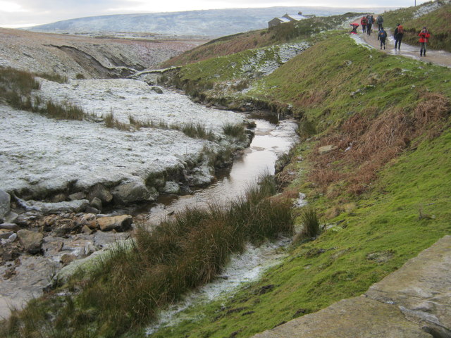
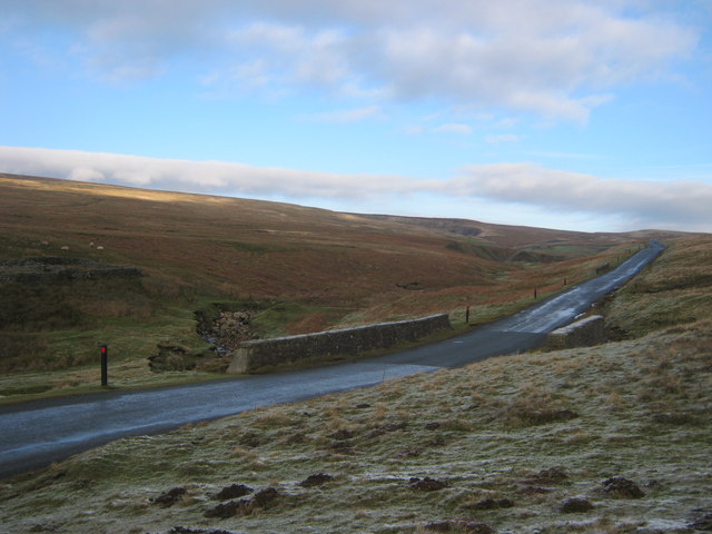
Booze Moor is characterized by its undulating terrain, covered in a patchwork of heather, grasses, and scattered wildflowers that paint the landscape with vibrant hues throughout the year. The moorland is also dotted with small streams and bogs, adding to its charm and providing a habitat for various wildlife species.

The area is steeped in history, with evidence of human occupation dating back thousands of years. Archaeological remains, including ancient burial mounds and stone circles, offer glimpses into the lives of the early settlers who once called this place home. These historical sites attract archaeology enthusiasts and researchers from around the world.

For outdoor enthusiasts, Booze Moor offers a range of activities. Hiking and walking trails crisscross the moor, allowing visitors to explore its hidden corners and enjoy panoramic views of the surrounding countryside. Birdwatchers will find solace in the diverse avian population, including species such as curlews, lapwings, and merlins.

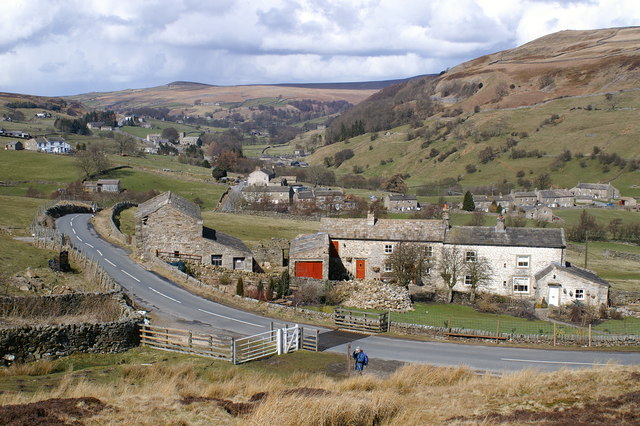
While the moorland's remote location lends itself to a sense of tranquility and isolation, nearby villages provide amenities such as accommodations, dining options, and visitor centers that cater to the needs of tourists. Overall, Booze Moor is a captivating destination that seamlessly blends natural beauty, historical significance, and outdoor activities, making it a must-visit location for nature lovers and history enthusiasts alike.

If you have any feedback on the listing, please let us know in the comments section below.

Booze Moor Images

Images are sourced within 2km of 54.438672/-1.9706728 or Grid Reference NZ0204. Thanks to Geograph Open Source API. All images are credited.

Road at Stang Top
Road at Stang Top
Road northeast of Stang Side
Sheepfold northeast of Shaw Farm
Cattle grid on Strang Lane
Entering County Durham at Stang Top
Arndale Hill from moorland road
Low Moor above Langthwaite
Bridleway north along Hill Side above Langthwaite
Alcock Hush (disused) on north western slopes of Peat Moor Hill
Shaw Beck in Dry Gill Bottom
Road bridge over Dry Gill
Bridleway on Seal Houses Moor
North Rake Hush North Rake Hush is a fine example of an old method of mining where dammed water was allowed to rush down a hillside, probably on the line of an already existing watercourse. The flood would tear away surface material - soil and vegetation - hopefully to expose and loosen deposits of mineral which would then be excavated. Hushes would be repeatedly worked in that way giving rise to such remarkable features as North Rake Hush.
North Rake Hush
North Rake Hush is a fine example of an old method of mining where dammed water was allowed to rush down a hillside, probably on the line of an already existing watercourse. The flood would tear away surface material - soil and vegetation - hopefully to expose and loosen deposits of mineral which would then be excavated. Hushes would be repeatedly worked in that way giving rise to such remarkable features as North Rake Hush.
Stang Top Heading South Going the other way at <a title="https://www.geograph.org.uk/photo/1627091" href="https://www.geograph.org.uk/photo/1627091">Link</a>
Stang Top Heading South
Going the other way at Link
Stang House Stang House is an isolated building perhaps used as a shooting hut close to the minor, moorland road crossing between Arkengarthdale and the valley of the River Greta. The high ground beyond is the Rogan's Seat/Water Crag area.
Stang House
Stang House is an isolated building perhaps used as a shooting hut close to the minor, moorland road crossing between Arkengarthdale and the valley of the River Greta. The high ground beyond is the Rogan's Seat/Water Crag area.
Stang Lane This moorland road between North Yorkshire and County Durham passes Seal House Moor to the west (left) and Booze Moor to the east with the isolated Shaw Farm beside the road.
Stang Lane
This moorland road between North Yorkshire and County Durham passes Seal House Moor to the west (left) and Booze Moor to the east with the isolated Shaw Farm beside the road.
Dry Gill Bottom Stang Lane, a bleak moorland road between North Yorkshire and County Durham
Dry Gill Bottom
Stang Lane, a bleak moorland road between North Yorkshire and County Durham
Walls beside Scarhouse Lane The walls here including a small sheepfold, adjacent to Scarhouse Lane, are nearing dereliction; beyond them, Arkengarthdale is at the left side of the image with the valley of Great Punchard Gill rising from it above the yellow meadows. The hill seen right of centre is Kitley Hill - although prominent in many views, it's a minor feature.
Walls beside Scarhouse Lane
The walls here including a small sheepfold, adjacent to Scarhouse Lane, are nearing dereliction; beyond them, Arkengarthdale is at the left side of the image with the valley of Great Punchard Gill rising from it above the yellow meadows. The hill seen right of centre is Kitley Hill - although prominent in many views, it's a minor feature.
Show me another place!

Booze Moor is located at Grid Ref: NZ0204 (Lat: 54.438672, Lng: -1.9706728)

Division: North Riding

Administrative County: North Yorkshire

District: Richmondshire

Police Authority: North Yorkshire

What 3 Words

///consonant.sock.local. Near Barningham, Co. Durham

Nearby Locations

Booze Moor

Related Wikis

Booze, North Yorkshire

Booze is a hamlet in Arkengarthdale, in the Richmondshire district of North Yorkshire, England. It is about 1 mile (1.6 km) east of Langthwaite. There...

Eskeleth

Eskeleth is a hamlet in Arkengarthdale in North Yorkshire, England. It is in the Yorkshire Dales National Park. Eskeleth sits 4 miles (6.4 km) from the...

Hoove

Hoove is a hill in the northern Yorkshire Dales in North Yorkshire, England, near the town of Barnard Castle in County Durham. Its elevation is 554 metres...

Arkle Town

Arkle Town is a hamlet in Arkengarthdale in the Richmondshire district of North Yorkshire, England. It is situated 0.4 miles (0.64 km) to the south of...

Langthwaite

Langthwaite is one of the few villages in Arkengarthdale, North Yorkshire, England. It is 3.5 miles (5.6 km) north of Reeth and sits 870 feet (270 m) above...

Whaw

Whaw is a hamlet in Arkengarthdale in North Yorkshire, England. It is one of few settlements in the dale and is one of the smallest. Its name derives from...

Arkle Beck Meadows, Whaw

Arkle Beck Meadows, Whaw (grid reference NY984041) is a 8.4 hectares (21 acres) biological Site of Special Scientific Interest (SSSI) at Whaw in Arkengarthdale...

Fremington Edge

Fremington Edge is a 3-mile (5 km) long wall of crags and scree slopes that is situated to the north of the village of Reeth in Swaledale in the Yorkshire...

Nearby Amenities

Located within 500m of 54.438672,-1.9706728
Peat Moor Hill
Ele: 522
Man Made: survey_point
Natural: peak
Survey Point: pillar
Lat/Long: 54.440028/-1.974229
The data included in this document is from www.openstreetmap.org. The data is made available under ODbL.

Have you been to Booze Moor?

Leave your review of Booze Moor below (or comments, questions and feedback).