Castle Clump
Downs, Moorland in Staffordshire Stafford
England
Castle Clump

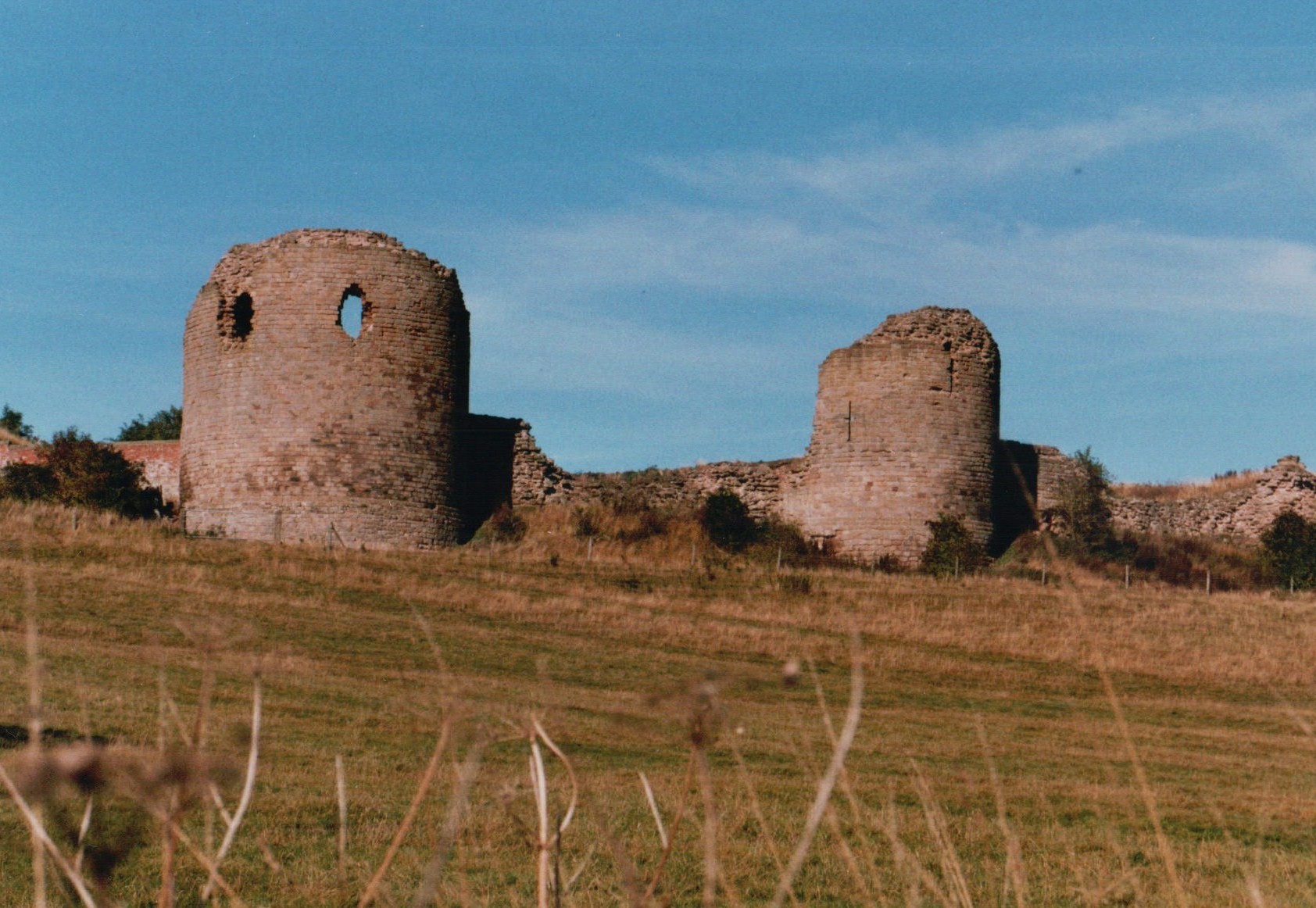
Castle Clump is a historic castle located in the county of Staffordshire, England. Situated on the scenic Downs in the heart of Moorland, it is a popular tourist destination known for its picturesque surroundings and rich history.
The castle is believed to date back to the 12th century, although there is evidence of earlier fortifications on the site. Originally built as a defensive structure, Castle Clump has undergone several renovations and expansions throughout the centuries, reflecting various architectural styles.
The castle is situated on a small hill, offering panoramic views of the surrounding countryside. The landscape is characterized by rolling hills, lush green meadows, and scattered woodlands, creating a tranquil and idyllic atmosphere.
Visitors to Castle Clump can explore the castle's grounds, which include a well-preserved keep, a courtyard, and remnants of ancient walls. Guided tours are available, providing insight into the castle's past and its significance in regional history.
Additionally, Castle Clump hosts regular events and activities, such as medieval reenactments, archery demonstrations, and historical exhibitions. These events aim to bring the castle's history to life and provide an immersive experience for visitors.
The castle is easily accessible, with ample parking facilities and nearby transportation links. There are also amenities such as a gift shop and a café, offering refreshments and souvenirs for visitors.
Overall, Castle Clump in Staffordshire is a captivating destination for history enthusiasts and nature lovers alike, offering a glimpse into the region's past while surrounded by the beauty of the Downs and Moorland.
If you have any feedback on the listing, please let us know in the comments section below.
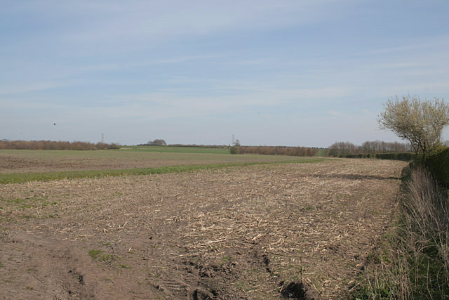
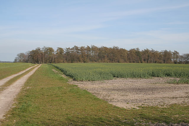
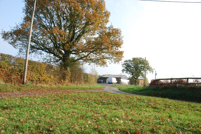
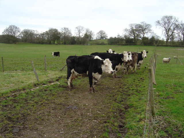
Castle Clump Images
Images are sourced within 2km of 52.870329/-1.9865136 or Grid Reference SK0130. Thanks to Geograph Open Source API. All images are credited.


Castle Clump is located at Grid Ref: SK0130 (Lat: 52.870329, Lng: -1.9865136)
Administrative County: Staffordshire
District: Stafford
Police Authority: Staffordshire
What 3 Words
///detained.images.unrated. Near Great Haywood, Staffordshire
Nearby Locations
Related Wikis
Chartley Castle
Chartley Castle lies in ruins to the north of the village of Stowe-by-Chartley in Staffordshire, between Stafford and Uttoxeter (grid reference SK010285...

Fradswell
Fradswell is a village in Staffordshire, England, approximately 7 miles (10 km) north-east of the town of Stafford and 7 miles (11 km) north of Colwich...

Gratwich
Gratwich is a village and former civil parish, now in the parish of Kingstone, in the East Staffordshire district, in the county of Staffordshire, England...

Chartley Moss
Chartley Moss is a 105.80 hectare biological Site of Special Scientific Interest in Staffordshire, notified in 1987. The area has been designated as an...
Have you been to Castle Clump?
Leave your review of Castle Clump below (or comments, questions and feedback).