Burton Park
Downs, Moorland in Yorkshire Richmondshire
England
Burton Park
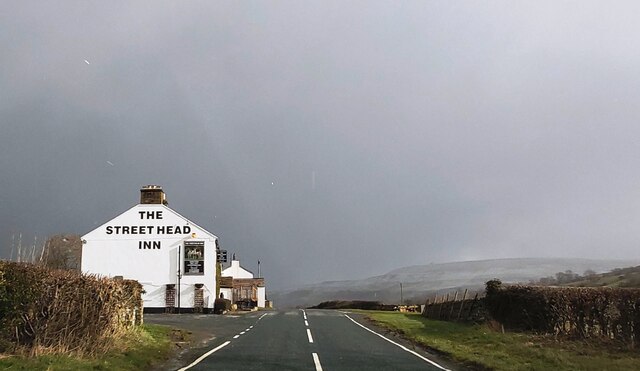
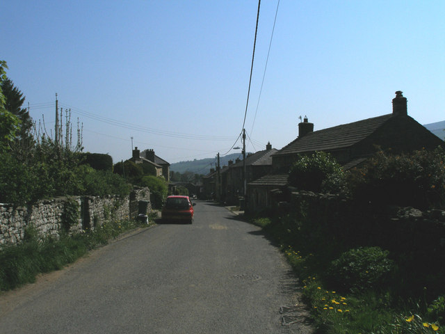
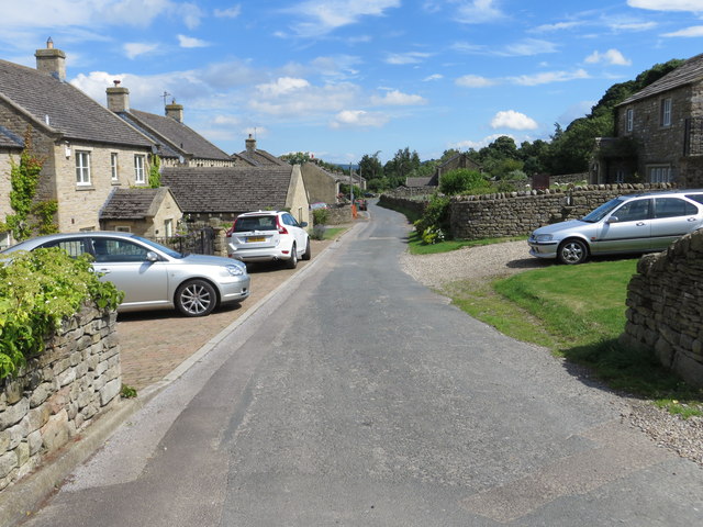
Burton Park is a picturesque area located in the heart of Yorkshire, England. Nestled amidst the stunning surroundings of the Yorkshire Downs and Moorland, this park offers visitors a unique blend of natural beauty and tranquility.
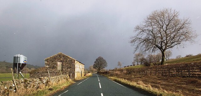
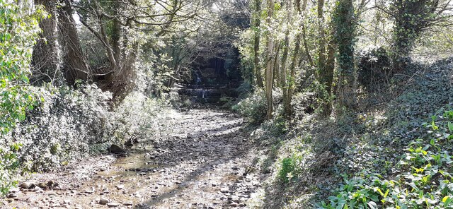
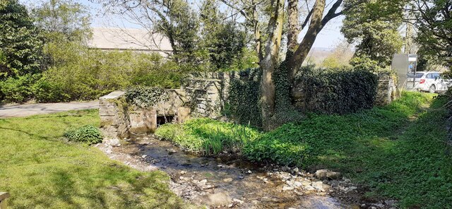
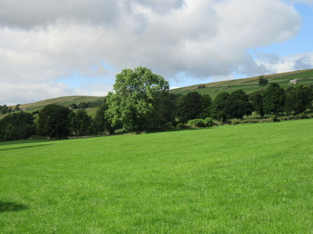
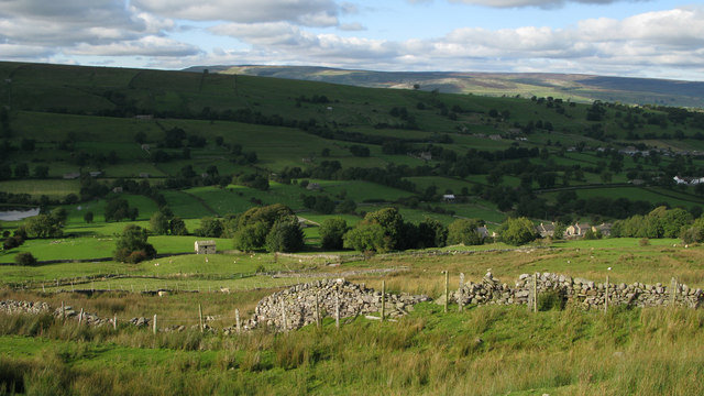
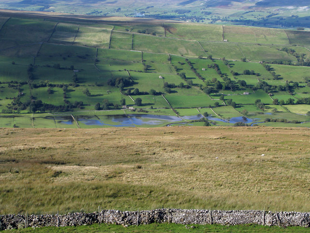
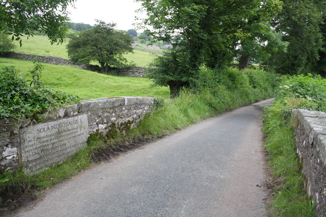
Covering a vast area of rolling hills, Burton Park is a haven for outdoor enthusiasts and nature lovers alike. The park is home to a diverse range of flora and fauna, with expansive meadows filled with wildflowers, ancient woodlands, and crystal-clear streams that meander through the landscape. Visitors can embark on leisurely walks or challenging hikes, immersing themselves in the breathtaking scenery and enjoying the fresh air.
One of the park's main attractions is the captivating wildlife that thrives in its diverse habitats. Birdwatchers can spot a variety of species, including majestic birds of prey such as buzzards and kestrels. The park is also home to herds of deer that can often be seen grazing peacefully in the distance.
For those seeking a more exhilarating experience, Burton Park offers opportunities for mountain biking and horseback riding. The undulating terrain and well-maintained trails provide an ideal setting for these activities, allowing visitors to explore the park at their own pace.
In addition to its natural beauty, Burton Park also boasts a visitor center that provides information about the park's history, wildlife, and conservation efforts. The center offers educational programs and exhibits, making it an excellent destination for families and school groups.
Overall, Burton Park in Yorkshire is a captivating destination that showcases the best of England's countryside. Its diverse landscapes, rich wildlife, and recreational activities make it a must-visit for anyone seeking an escape from the hustle and bustle of city life.
If you have any feedback on the listing, please let us know in the comments section below.
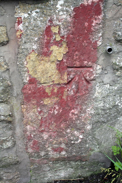
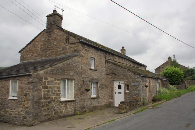
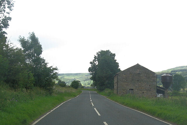
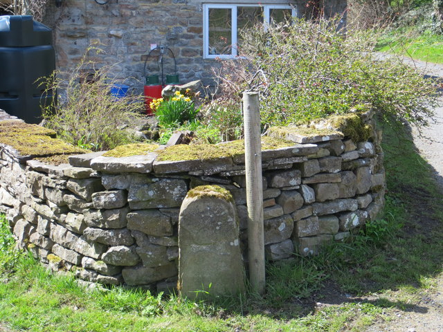
Burton Park Images
Images are sourced within 2km of 54.26162/-1.9870702 or Grid Reference SE0085. Thanks to Geograph Open Source API. All images are credited.

Burton Park is located at Grid Ref: SE0085 (Lat: 54.26162, Lng: -1.9870702)
Division: North Riding
Administrative County: North Yorkshire
District: Richmondshire
Police Authority: North Yorkshire
What 3 Words
///trouser.cookie.laying. Near Leyburn, North Yorkshire
Nearby Locations
Related Wikis

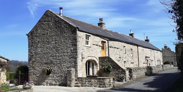
Burton-cum-Walden
Burton-cum-Walden is a civil parish in North Yorkshire, England, in the Yorkshire Dales National Park. It had a population of 303 according to the 2011...

Newbiggin, south Wensleydale
Newbiggin is a village and civil parish in Bishopdale, a side dale on the south side of Wensleydale, in the Yorkshire Dales in North Yorkshire, England...
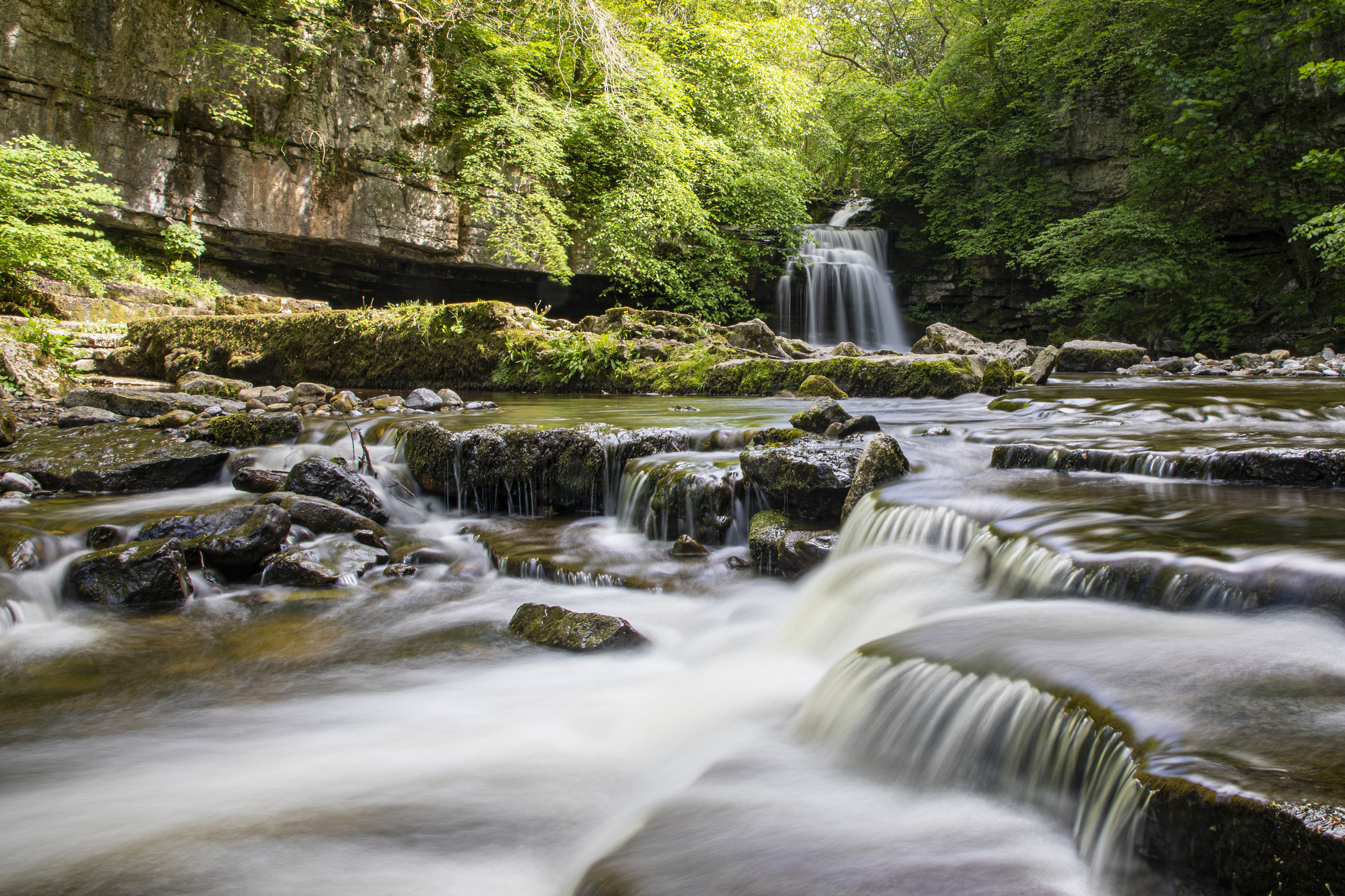
Cauldron Falls (North Yorkshire)
Cauldron Falls (also known as West Burton falls), is a series of waterfalls on Walden Beck in the village of West Burton, North Yorkshire, England. It...

Thoralby
Thoralby is a village and civil parish in the Richmondshire district of North Yorkshire, England. It lies south of Aysgarth, is within a mile of both Newbiggin...

West Burton, North Yorkshire
West Burton is a village in Bishopdale, a side valley of Wensleydale, in the Yorkshire Dales, North Yorkshire, England. It lies 6.2 miles (10 km) south...

Walden, North Yorkshire
Walden is a dale and hamlet in the Yorkshire Dales, North Yorkshire, England. The dale is a side dale of Wensleydale, sometimes known as Waldendale or...

Aysgarth
Aysgarth is a village and civil parish in Wensleydale, in North Yorkshire, England. The village is in the Yorkshire Dales National Park, about 16 miles...

St Andrew's Church, Aysgarth
St Andrew's Church, Aysgarth, is a Grade II* listed parish church in the Church of England: 66 in Aysgarth, North Yorkshire. It is located on the south...
Have you been to Burton Park?
Leave your review of Burton Park below (or comments, questions and feedback).