Burton Pasture

Downs, Moorland in Yorkshire Richmondshire

England

Burton Pasture

Benchmark on SW face of Eastburn Farmhouse Ordnance Survey cut mark benchmark levelled at 195.288m above Newlyn Datum verified 1954
Benchmark on SW face of Eastburn Farmhouse Credit: Roger Templeman

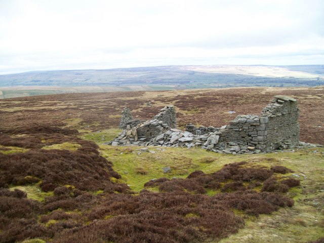
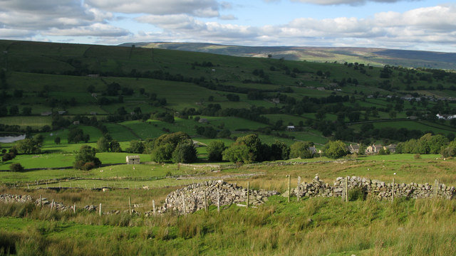
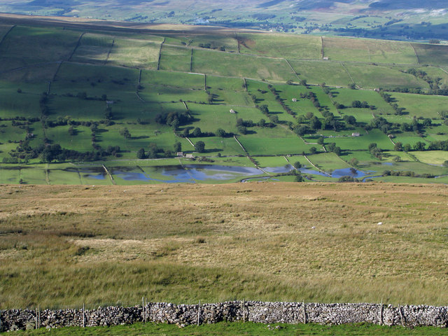
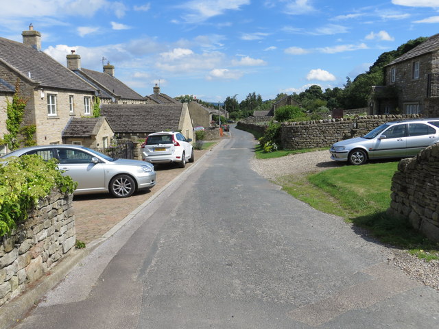
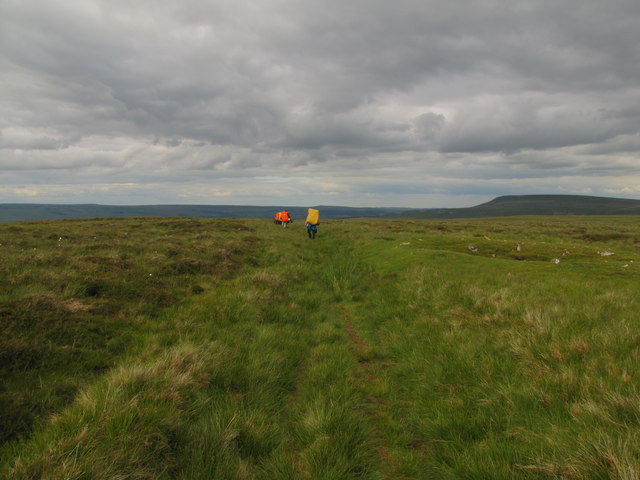
Burton Pasture is a picturesque area located in Yorkshire, England. It is situated amidst the stunning Yorkshire Downs and Moorland, offering visitors a unique blend of natural beauty and rich history. Spanning over a vast expanse of land, Burton Pasture is a haven for nature enthusiasts, hikers, and those seeking tranquility away from the bustling city life.

The area is characterized by rolling hills, verdant meadows, and heathlands, all adorned with vibrant wildflowers during the summer months. The Yorkshire Downs, with their ancient geological formations, provide a breathtaking backdrop to the landscape. Visitors can enjoy panoramic views from elevated points, taking in the sprawling moorland stretching into the distance.

Burton Pasture boasts an abundance of wildlife, making it a popular spot for birdwatching and animal sightings. The area is home to a diverse range of species, including red grouse, curlews, and kestrels. Lucky visitors may even catch a glimpse of the elusive and protected black grouse, a rare bird that inhabits the moorland.

For history enthusiasts, Burton Pasture offers a glimpse into the region's past. The area is dotted with remnants of ancient settlements, including stone circles and burial mounds. These archaeological sites provide evidence of human occupation dating back thousands of years, adding an intriguing layer of depth to the landscape.

Whether exploring the rolling hills, observing wildlife, or discovering the area's rich history, Burton Pasture offers a captivating experience for visitors seeking an escape into the natural wonders of Yorkshire.

If you have any feedback on the listing, please let us know in the comments section below.

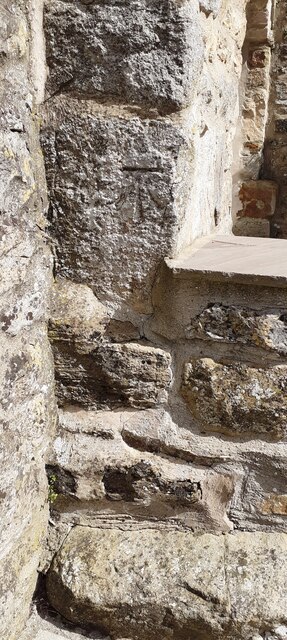
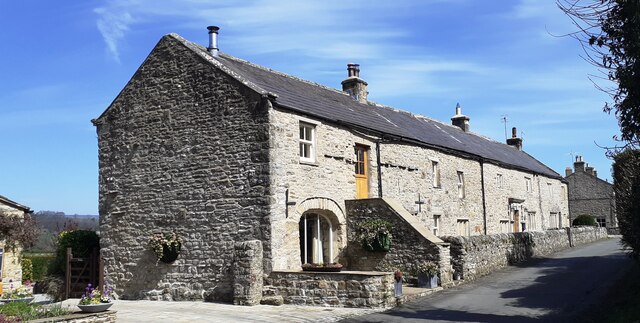
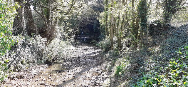
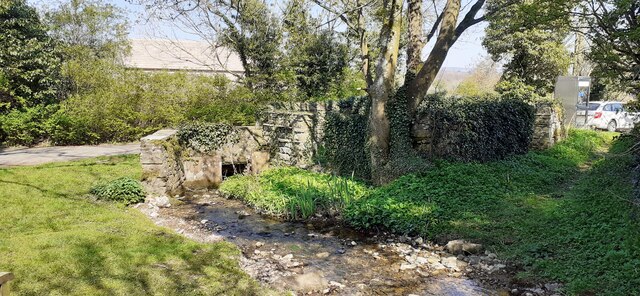
Burton Pasture Images

Images are sourced within 2km of 54.253136/-1.9880705 or Grid Reference SE0084. Thanks to Geograph Open Source API. All images are credited.

Benchmark on SW face of Eastburn Farmhouse Ordnance Survey cut mark benchmark levelled at 195.288m above Newlyn Datum verified 1954
Benchmark on SW face of Eastburn Farmhouse
Ordnance Survey cut mark benchmark levelled at 195.288m above Newlyn Datum verified 1954
Eastburn Farmhouse and Eastburn Cottage There is an Ordnance Survey benchmark <a href="https://www.geograph.org.uk/photo/7152876">SD9985 : Benchmark on SW face of Eastburn Farmhouse</a> on the near corner of the building beside the stone gatepost
Eastburn Farmhouse and Eastburn Cottage
There is an Ordnance Survey benchmark SD9985 : Benchmark on SW face of Eastburn Farmhouse on the near corner of the building beside the stone gatepost
View SE along Mill Beck
Mill Beck approaching Millbeck Bridge The footpath to the right passes a Telephone Call Box
Mill Beck approaching Millbeck Bridge
The footpath to the right passes a Telephone Call Box
Ruin on Wasset Fell The ruined remains of one of the buildings that was part of the mine workings, now disused.
Ruin on Wasset Fell
The ruined remains of one of the buildings that was part of the mine workings, now disused.
Fields near to Newbiggin in Bishopdale Wasset Fell Road is a track climbing from the village of Newbiggin, southwards on to the hill ridge rising eventually to Buckden Pike. The roofs of Newbiggin are seen here over enclosures of rough pasture from the descent of the road.
Fields near to Newbiggin in Bishopdale
Wasset Fell Road is a track climbing from the village of Newbiggin, southwards on to the hill ridge rising eventually to Buckden Pike. The roofs of Newbiggin are seen here over enclosures of rough pasture from the descent of the road.
Roughly grassed enclosure below Wasset Fell Road Wasset Fell road descends to Newbiggin from the high ridge on the south-east side of Bishopdale. The view here is from the road at Floutgate Scar over fields to the valley bottom where flooding testifies to the extent of recent rain.
Roughly grassed enclosure below Wasset Fell Road
Wasset Fell road descends to Newbiggin from the high ridge on the south-east side of Bishopdale. The view here is from the road at Floutgate Scar over fields to the valley bottom where flooding testifies to the extent of recent rain.
Modern housing at Hargarth Farm, Newbiggin Viewed from the south-west.
Modern housing at Hargarth Farm, Newbiggin
Viewed from the south-west.
Ruins of Shooting Hut
Wasset Fell Road
Wasset Fell Road
Floutgate Scar
Floutgate Scar
Tree beside Wasset Fell Road
Hargarth Farm
Hargarth Farm
Pinfold next to Mill Beck Quite over grown, and no longer in use.
Pinfold next to Mill Beck
Quite over grown, and no longer in use.
Eastburn Farm
Eastburn Farm
Newbiggin, Wensleydale Benchmark located at top of village on very old property with date stone on lintel - now named Browns House.
Newbiggin, Wensleydale
Benchmark located at top of village on very old property with date stone on lintel - now named Browns House.
Newbiggin, Wensleydale Wider angle of dated residence at top of village with benchmark to left of house entrance. Property now named Browns House.
Newbiggin, Wensleydale
Wider angle of dated residence at top of village with benchmark to left of house entrance. Property now named Browns House.
Newbiggin, Wensleydale Private property at eastern side of the village, with a clear benchmark to the right of the main door.
Newbiggin, Wensleydale
Private property at eastern side of the village, with a clear benchmark to the right of the main door.
Show me another place!

Burton Pasture is located at Grid Ref: SE0084 (Lat: 54.253136, Lng: -1.9880705)

Division: North Riding

Administrative County: North Yorkshire

District: Richmondshire

Police Authority: North Yorkshire

What 3 Words

///invents.solve.storybook. Near Leyburn, North Yorkshire

Nearby Locations

How Hill Burton Pasture

Related Wikis

Burton-cum-Walden

Burton-cum-Walden is a civil parish in North Yorkshire, England, in the Yorkshire Dales National Park. It had a population of 303 according to the 2011...

Walden, North Yorkshire

Walden is a dale and hamlet in the Yorkshire Dales, North Yorkshire, England. The dale is a side dale of Wensleydale, sometimes known as Waldendale or...

Newbiggin, south Wensleydale

Newbiggin is a village and civil parish in Bishopdale, a side dale on the south side of Wensleydale, in the Yorkshire Dales in North Yorkshire, England...

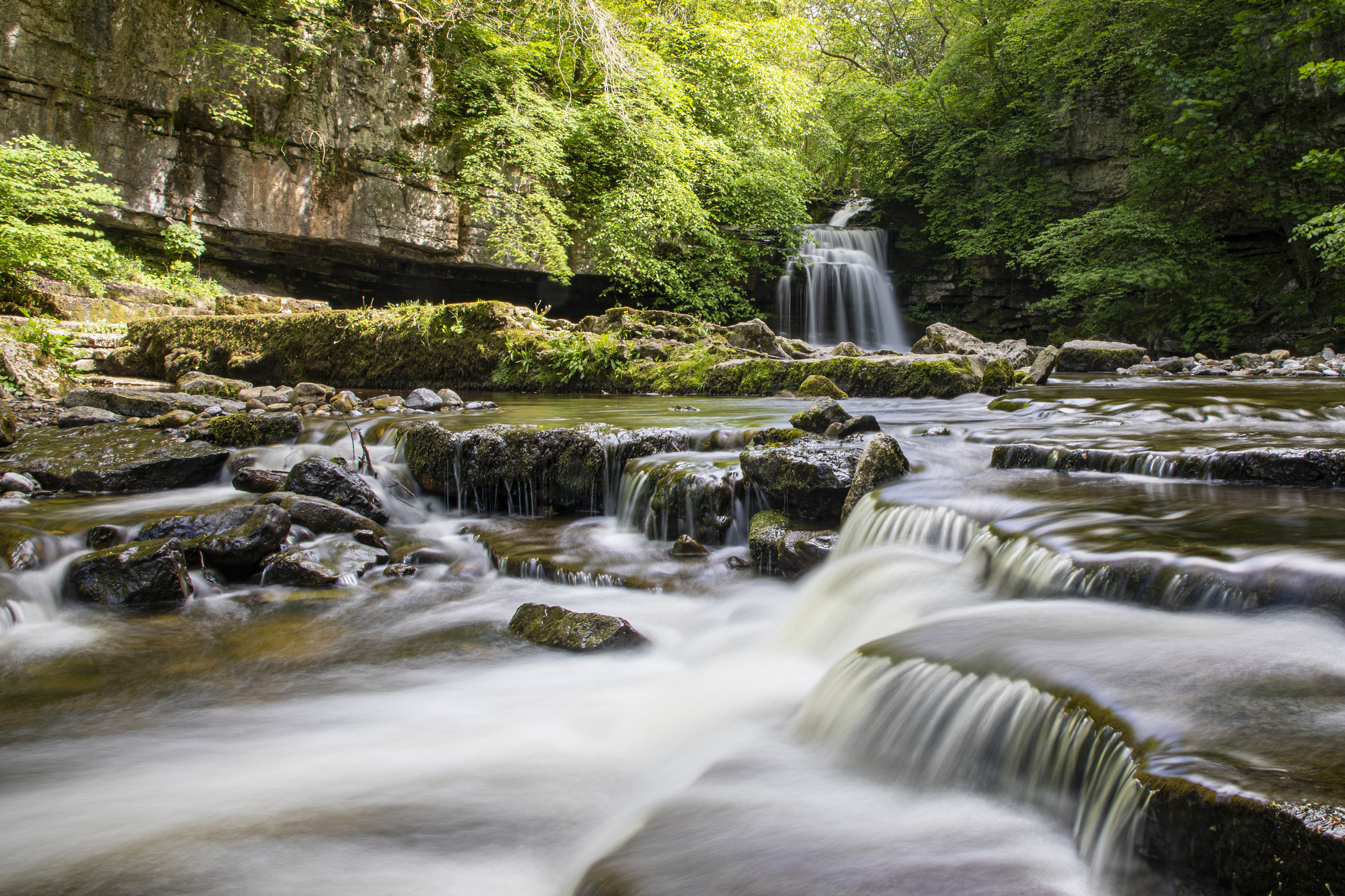
Cauldron Falls (North Yorkshire)

Cauldron Falls (also known as West Burton falls), is a series of waterfalls on Walden Beck in the village of West Burton, North Yorkshire, England. It...

Thoralby

Thoralby is a village and civil parish in the Richmondshire district of North Yorkshire, England. It lies south of Aysgarth, is within a mile of both Newbiggin...

West Burton, North Yorkshire

West Burton is a village in Bishopdale, a side valley of Wensleydale, in the Yorkshire Dales, North Yorkshire, England. It lies 6.2 miles (10 km) south...

Castle Dykes Henge

Castle Dykes Henge is a Class I Neolithic henge earthwork in the Yorkshire Dales National Park in North Yorkshire, England, situated between the villages...

Aysgarth

Aysgarth is a village and civil parish in Wensleydale, in North Yorkshire, England. The village is in the Yorkshire Dales National Park, about 16 miles...

Nearby Amenities

Located within 500m of 54.253136,-1.9880705
Burton Pasture
Natural: fell
Source: NPE
Lat/Long: 54.2567976/-1.9890295
Power: pole
Lat/Long: 54.2534607/-1.9804041
Power: pole
Lat/Long: 54.2526046/-1.9811594
Power: pole
Lat/Long: 54.2518657/-1.9817817
Power: pole
Lat/Long: 54.2510491/-1.9824718
Power: pole
Lat/Long: 54.2502648/-1.9831543
The data included in this document is from www.openstreetmap.org. The data is made available under ODbL.

Have you been to Burton Pasture?

Leave your review of Burton Pasture below (or comments, questions and feedback).