Back Pasture
Downs, Moorland in Yorkshire Craven
England
Back Pasture

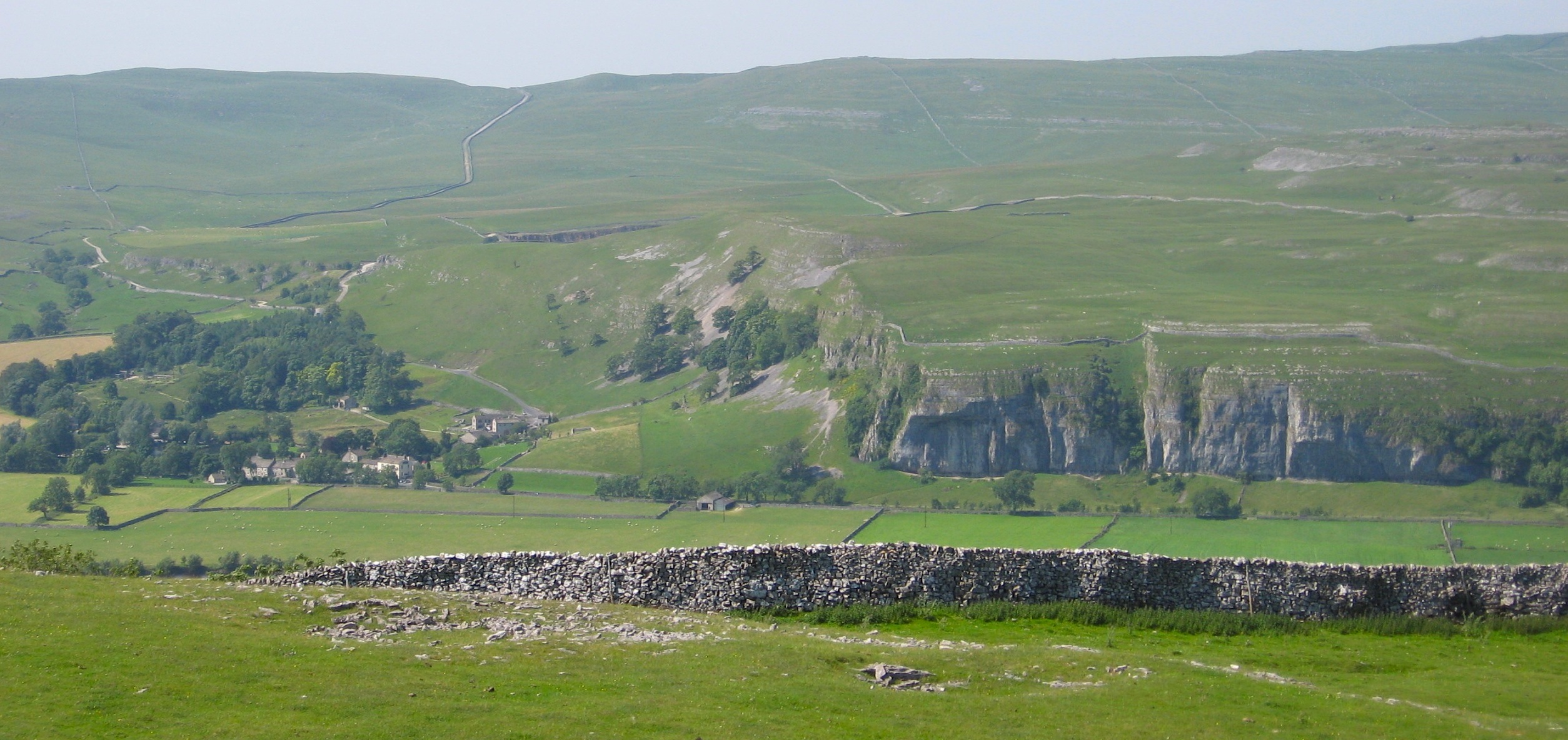
Back Pasture, located in the county of Yorkshire, is a picturesque and diverse landscape encompassing both downs and moorland. Stretching across vast acres, it offers a unique blend of natural beauty and rich biodiversity. The area is renowned for its rolling hills, expansive grasslands, and heather-covered moorlands, attracting nature enthusiasts and hikers alike.
The downs of Back Pasture are characterized by their gently sloping hills, often covered in lush green grasses. They provide a peaceful and tranquil setting, perfect for leisurely walks and enjoying the unspoiled countryside. The downs also offer breathtaking panoramic views of the surrounding countryside, showcasing the idyllic charm of the region.
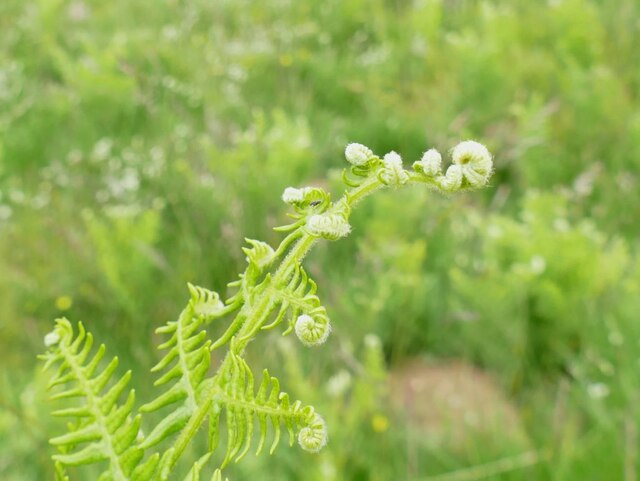
The moorland within Back Pasture is a distinct landscape, characterized by its rugged terrain and vibrant purple heather. This unique habitat supports a variety of wildlife, including birds of prey such as red kites and kestrels, as well as rare species such as the black grouse. The moorland is dotted with scattered trees and small streams, adding to its natural allure.
Throughout the year, Back Pasture offers a range of outdoor activities, including hiking, birdwatching, and photography. The changing seasons bring a kaleidoscope of colors, with vibrant wildflowers in spring, golden hues in autumn, and a peaceful blanket of snow in winter.
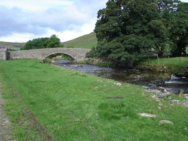
Visitors to Back Pasture can also explore nearby villages and towns, immersing themselves in the local culture and enjoying traditional Yorkshire hospitality. With its breathtaking landscapes and abundant wildlife, Back Pasture is a must-visit destination for nature lovers seeking to experience the beauty of Yorkshire's downs and moorland.
If you have any feedback on the listing, please let us know in the comments section below.
Back Pasture Images
Images are sourced within 2km of 54.100665/-1.9927621 or Grid Reference SE0067. Thanks to Geograph Open Source API. All images are credited.


![A walk from Grassington to Kelber and return [45] After passing through Kelber Gate, Bycliffe Road becomes enclosed by walls. Wharfedale is to the right, Littondale to the left with Hawkswick Moor in between.
After leaving the town, the walk crosses Grassington Moor via Bare House to Bycliffe Road. The road is followed past Kelber Gate towards Scot Gate Lane. The route then follows the long distance Dales Way back to Grassington. About 6½ miles.](https://s3.geograph.org.uk/geophotos/07/03/78/7037867_ff0a29e4.jpg)
![A walk from Grassington to Kelber and return [46] At this junction of tracks, Bycliffe Road, a public bridleway turns left.
After leaving the town, the walk crosses Grassington Moor via Bare House to Bycliffe Road. The road is followed past Kelber Gate towards Scot Gate Lane. The route then follows the long distance Dales Way back to Grassington. About 6½ miles.](https://s0.geograph.org.uk/geophotos/07/03/78/7037868_95a73232.jpg)
![A walk from Grassington to Kelber and return [47] A public bridleway runs from behind the camera to this junction and turns left towards Coniston. A public footpath branches off, running straight ahead towards Kettlewell.
After leaving the town, the walk crosses Grassington Moor via Bare House to Bycliffe Road. The road is followed past Kelber Gate towards Scot Gate Lane. The route then follows the long distance Dales Way back to Grassington. About 6½ miles.](https://s1.geograph.org.uk/geophotos/07/03/78/7037869_06c0f74d.jpg)
![A walk from Grassington to Kelber and return [48] From the junction, Bycliffe Road, a public bridleway, heads downhill towards Conistone.
After leaving the town, the walk crosses Grassington Moor via Bare House to Bycliffe Road. The road is followed past Kelber Gate towards Scot Gate Lane. The route then follows the long distance Dales Way back to Grassington. About 6½ miles.](https://s2.geograph.org.uk/geophotos/07/03/78/7037870_30b206dc.jpg)
![A walk from Grassington to Kelber and return [49] A look back along Bycliffe Road from the track junction.
After leaving the town, the walk crosses Grassington Moor via Bare House to Bycliffe Road. The road is followed past Kelber Gate towards Scot Gate Lane. The route then follows the long distance Dales Way back to Grassington. About 6½ miles.](https://s0.geograph.org.uk/geophotos/07/03/78/7037872_78b49e85.jpg)
![A walk from Grassington to Kelber and return [50] Bycliffe Road passes through this gate on its way to Conistone.
After leaving the town, the walk crosses Grassington Moor via Bare House to Bycliffe Road. The road is followed past Kelber Gate towards Scot Gate Lane. The route then follows the long distance Dales Way back to Grassington. About 6½ miles.](https://s1.geograph.org.uk/geophotos/07/03/78/7037873_df01dd3f.jpg)
![A walk from Grassington to Kelber and return [51] Now known as Scot Gate Lane, the track descends steeply between rock outcrops.
After leaving the town, the walk crosses Grassington Moor via Bare House to Bycliffe Road. The road is followed past Kelber Gate towards Scot Gate Lane. The route then follows the long distance Dales Way back to Grassington. About 6½ miles.](https://s3.geograph.org.uk/geophotos/07/03/78/7037875_896b4227.jpg)
![A walk from Grassington to Kelber and return [52] A view of the incised and eroded small valley known as Dib, seen from the track.
After leaving the town, the walk crosses Grassington Moor via Bare House to Bycliffe Road. The road is followed past Kelber Gate towards Scot Gate Lane. The route then follows the long distance Dales Way back to Grassington. About 6½ miles.](https://s0.geograph.org.uk/geophotos/07/03/78/7037876_80188cca.jpg)
![A walk from Grassington to Kelber and return [53] At this point a footpath, part of the long distance Dales Way, crosses the bridleway, Scot Gate Lane.
After leaving the town, the walk crosses Grassington Moor via Bare House to Bycliffe Road. The road is followed past Kelber Gate towards Scot Gate Lane. The route then follows the long distance Dales Way back to Grassington. About 6½ miles.](https://s2.geograph.org.uk/geophotos/07/03/78/7037878_8684a2a0.jpg)
![A walk from Grassington to Kelber and return [54] From the junction, this footpath, part of the long distance Dales Way, heads towards Grassington.
After leaving the town, the walk crosses Grassington Moor via Bare House to Bycliffe Road. The road is followed past Kelber Gate towards Scot Gate Lane. The route then follows the long distance Dales Way back to Grassington. About 6½ miles.](https://s0.geograph.org.uk/geophotos/07/03/78/7037880_65d87271.jpg)
Back Pasture is located at Grid Ref: SE0067 (Lat: 54.100665, Lng: -1.9927621)
Division: West Riding
Administrative County: North Yorkshire
District: Craven
Police Authority: North Yorkshire
What 3 Words
///campers.film.challenge. Near Grassington, North Yorkshire
Nearby Locations
Related Wikis
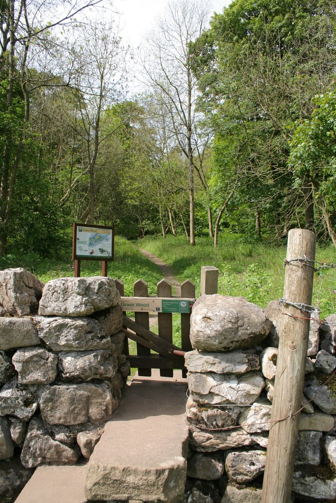
Grass Wood, Wharfedale
Grass Wood is an ancient woodland of 88 hectares (220 acres) in Wharfedale, North Yorkshire, England, that has an exceptional ground flora of woodland...

St Mary's Church, Conistone
St Mary's Church is in the village of Conistone, North Yorkshire, England. It is an active Anglican parish church in the deanery of Skipton, the archdeaconry...

Conistone
Conistone is a small village in the Craven district of North Yorkshire, England. It lies 3 miles (5 km) north of Grassington, 3 miles (5 km) south of Kettlewell...

Conistone with Kilnsey
Conistone with Kilnsey is a civil parish in Wharfedale in the district of Craven, North Yorkshire, England. It contains the villages of Kilnsey and Conistone...

Priest's Tarn
Priest's Tarn is an upland lake on Grassington Moor, in North Yorkshire, England. The water from Priest's Tarn was historically used for hydraulic mining...
Kilnsey
Kilnsey is a small village in Wharfedale, North Yorkshire, England. It lies on the B6160 road, between the villages of Grassington and Kettlewell, near...

Grassington
Grassington is a village and civil parish in North Yorkshire, England. The population of the parish at the 2011 Census was 1,126. Historically part of...
River Skirfare
River Skirfare is a small river in North Yorkshire, England, that flows through Littondale and ends where it joins the larger River Wharfe. The source...
Nearby Amenities
Located within 500m of 54.100665,-1.9927621Have you been to Back Pasture?
Leave your review of Back Pasture below (or comments, questions and feedback).