Low Moor
Downs, Moorland in Yorkshire Richmondshire
England
Low Moor

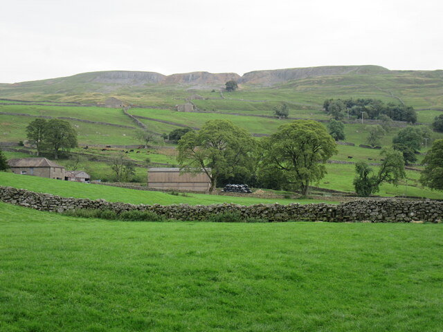
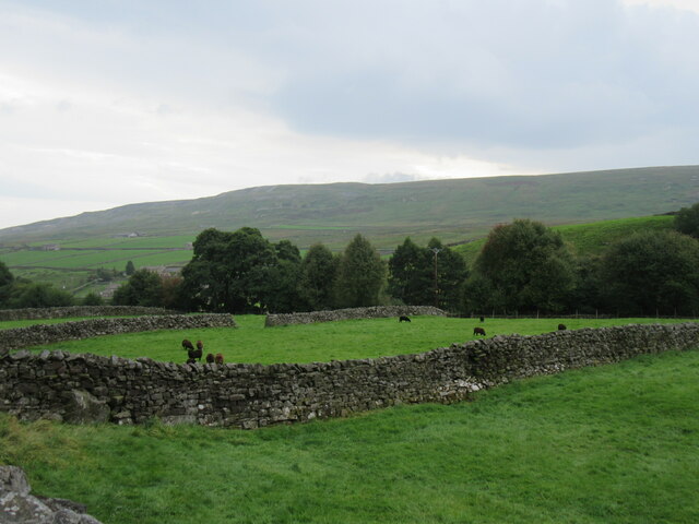
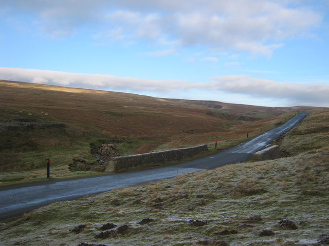
Low Moor is a small village located in the county of Yorkshire, England. Situated on the outskirts of Bradford, it is part of the metropolitan borough of the city. Low Moor is known for its scenic beauty, characterized by its gentle rolling downs and vast moorland landscapes.
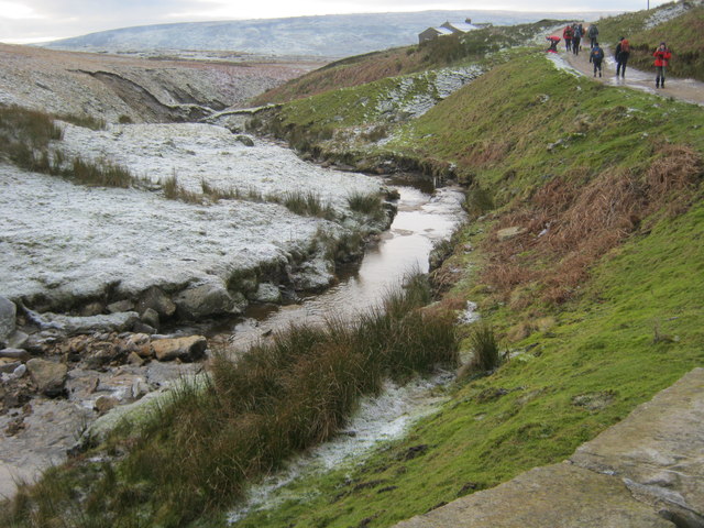
The village is nestled amidst the picturesque Yorkshire countryside, offering stunning views of the surrounding area. The downs in this region are lush green spaces, predominantly used for agricultural purposes, providing a serene and peaceful ambiance. The moorland, on the other hand, consists of vast expanses of open and wild terrain, covered with heather, grasses, and bracken.
Low Moor is a popular destination for outdoor enthusiasts and nature lovers. The downs and moorland provide excellent opportunities for activities such as hiking, walking, and birdwatching. The area is home to a diverse range of flora and fauna, making it a haven for wildlife enthusiasts.
Despite its rural setting, Low Moor benefits from its proximity to urban amenities. The village is well-connected to nearby towns and cities, with good transportation links. It offers a range of facilities including shops, schools, and community centers, catering to the needs of its residents.
In conclusion, Low Moor, Yorkshire, is a charming village renowned for its downs and moorland landscapes. It offers a tranquil setting amidst the beautiful Yorkshire countryside, making it an ideal destination for those seeking a peaceful retreat or outdoor adventure.
If you have any feedback on the listing, please let us know in the comments section below.
Low Moor Images
Images are sourced within 2km of 54.440149/-2.0083078 or Grid Reference NY9904. Thanks to Geograph Open Source API. All images are credited.


Low Moor is located at Grid Ref: NY9904 (Lat: 54.440149, Lng: -2.0083078)
Division: North Riding
Administrative County: North Yorkshire
District: Richmondshire
Police Authority: North Yorkshire
What 3 Words
///shopping.correctly.translate. Near Bowes, Co. Durham
Nearby Locations
Related Wikis

Eskeleth
Eskeleth is a hamlet in Arkengarthdale in North Yorkshire, England. It is in the Yorkshire Dales National Park. Eskeleth sits 4 miles (6.4 km) from the...

Whaw
Whaw is a hamlet in Arkengarthdale in North Yorkshire, England. It is one of few settlements in the dale and is one of the smallest. Its name derives from...

Arkle Beck Meadows, Whaw
Arkle Beck Meadows, Whaw (grid reference NY984041) is a 8.4 hectares (21 acres) biological Site of Special Scientific Interest (SSSI) at Whaw in Arkengarthdale...

Hoove
Hoove is a hill in the northern Yorkshire Dales in North Yorkshire, England, near the town of Barnard Castle in County Durham. Its elevation is 554 metres...
Nearby Amenities
Located within 500m of 54.440149,-2.0083078Have you been to Low Moor?
Leave your review of Low Moor below (or comments, questions and feedback).