Moor Fields

Downs, Moorland in Northumberland

England

Moor Fields

Bowsden
Bowsden Credit: Richard Webb

The requested URL returned error: 429 Too Many Requests

If you have any feedback on the listing, please let us know in the comments section below.
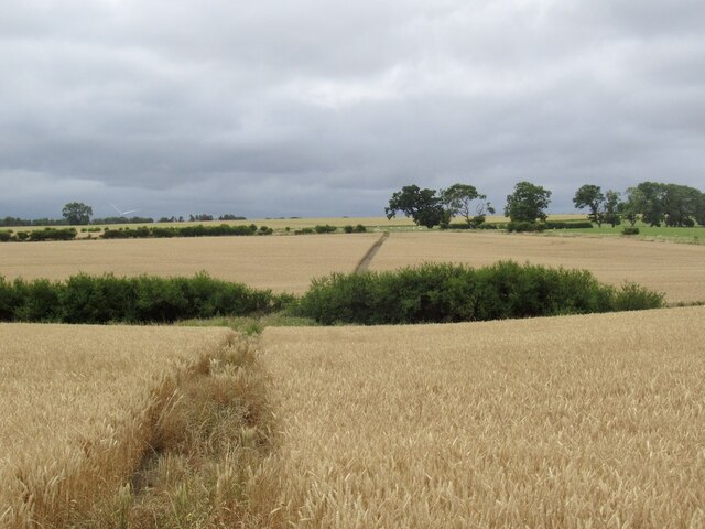
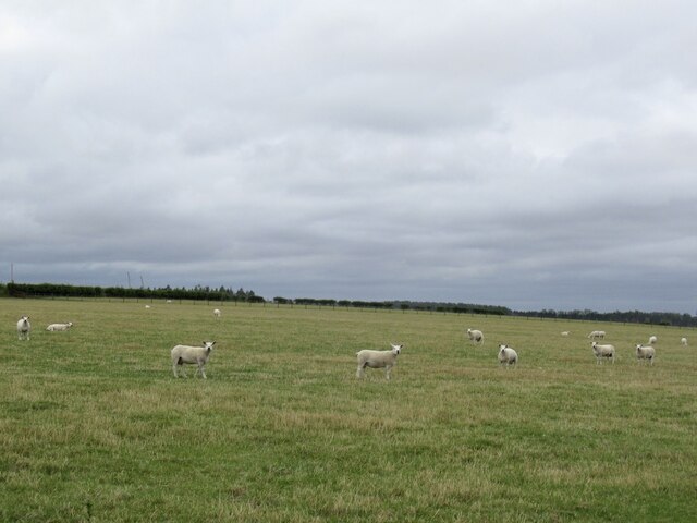
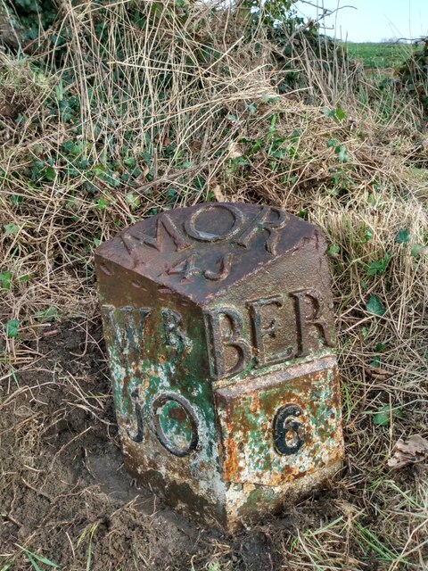
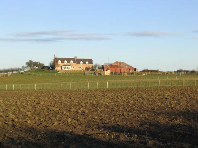
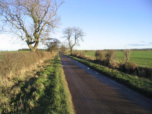
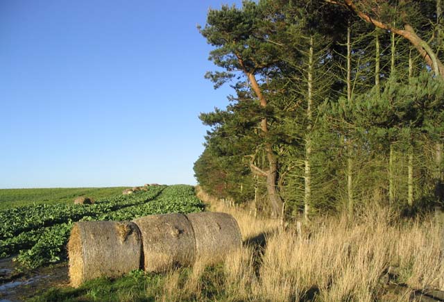
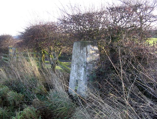
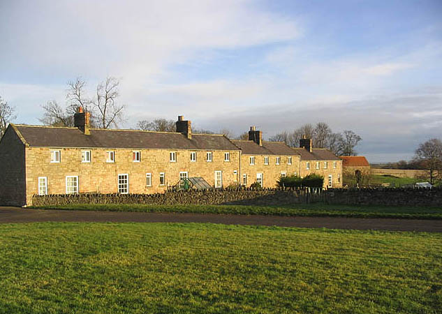
Moor Fields Images

Images are sourced within 2km of 55.680262/-2.0126161 or Grid Reference NT9942. Thanks to Geograph Open Source API. All images are credited.

Bowsden
Bowsden
Field, Bowsden
Field, Bowsden
Ruined steading, Bowsden
Bowsden
Bowsden
Millstone and sign, Bowsden Hall Farm
Path through barley, Bowsden Easy to follow.
Path through barley, Bowsden
Easy to follow.
Sheep near Bowsden
Sheep near Bowsden
Old Milestone by B6525, 400m South of Berrington Lodge The Milestone is located on grass verge by wide gate on the East of the road.  Parish of Kyloe (Berwick upon Tweed District). Cast iron post, WR/BER MOR top iron post design, erected by the Deanburn Bridge, Berwick, Cornhill turnpike trust in the 19th Century. An earlier photograph can be found here: <a title="https://www.geograph.org.uk/photo/5361832" href="https://www.geograph.org.uk/photo/5361832">Link</a> 

Inscription reads:-  
WR / 10  : : BER / 6 : : MOR / 41  

Grade II listed. List Entry Number: 1042273 <span class="nowrap"><a title="https://historicengland.org.uk/listing/the-list/list-entry/1042273" rel="nofollow ugc noopener" href="https://historicengland.org.uk/listing/the-list/list-entry/1042273">Link</a><img style="margin-left:2px;" alt="External link" title="External link - shift click to open in new window" src="https://s1.geograph.org.uk/img/external.png" width="10" height="10"/></span> 

Milestone Society National ID: NB_BWWL06
Old Milestone by B6525, 400m South of Berrington Lodge
The Milestone is located on grass verge by wide gate on the East of the road.  Parish of Kyloe (Berwick upon Tweed District). Cast iron post, WR/BER MOR top iron post design, erected by the Deanburn Bridge, Berwick, Cornhill turnpike trust in the 19th Century. An earlier photograph can be found here: Link  Inscription reads:- WR / 10 : : BER / 6 : : MOR / 41 Grade II listed. List Entry Number: 1042273 LinkExternal link Milestone Society National ID: NB_BWWL06
Road junction Where a minor road from Berrington joins the B6525. An awkward spot for a postbox.
Road junction
Where a minor road from Berrington joins the B6525. An awkward spot for a postbox.
Access road to Berrington Law Farm
Whistle Bare Farm
Whistle Bare Farm
Ploughed field at Bowsden Taken opposite Bowsden West Farm with the village of Bowsden in the background.
Ploughed field at Bowsden
Taken opposite Bowsden West Farm with the village of Bowsden in the background.
A country road A straight but narrow road near Berrington Lough.
A country road
A straight but narrow road near Berrington Lough.
Farmland near Berrington Lodge
Bales in a turnip field beside a pine shelter belt Midway between Berrington Law and Berrington Lough.
Bales in a turnip field beside a pine shelter belt
Midway between Berrington Law and Berrington Lough.
The trig point at Bowsden West Farm At 103m with a flush bracket number of S7058.
The trig point at Bowsden West Farm
At 103m with a flush bracket number of S7058.
Arable farmland At Bowsden East Farm.
Arable farmland
At Bowsden East Farm.
Track by a field at Bowsden This short section of tarmac road joins a track running for 700m beside this field at Bowsden West Farm.
Track by a field at Bowsden
This short section of tarmac road joins a track running for 700m beside this field at Bowsden West Farm.
Show me another place!

Moor Fields is located at Grid Ref: NT9942 (Lat: 55.680262, Lng: -2.0126161)

Unitary Authority: Northumberland

Police Authority: Northumbria

What 3 Words

///jacuzzi.failed.slopes. Near Ancroft, Northumberland

Nearby Locations

Moor Fields

Related Wikis

Berrington, Northumberland

Berrington is a village in Northumberland, in England. It is situated to the south of Berwick-upon-Tweed, inland from the North Sea coast. == Governance... ==

Ancroft

Ancroft is a village and civil parish (which includes the village of Scremerston) in Northumberland, England. Prior to 1844, Ancroft lay within the Islandshire...

Bowsden

Bowsden is a village and civil parish in Northumberland, England. It is about 6 miles (10 km) to the south of Berwick-upon-Tweed, inland from the North...

Norham and Islandshires Rural District

Norham and Islandshires was a rural district in Northumberland, England from 1894 to 1974.The district was formed under the Local Government Act 1894 from...

Nearby Amenities

Located within 500m of 55.680262,-2.0126161
Power: pole
Lat/Long: 55.6841672/-2.0089316
Power: pole
Lat/Long: 55.6833846/-2.008473
Power: pole
Lat/Long: 55.6828781/-2.0066679
The data included in this document is from www.openstreetmap.org. The data is made available under ODbL.

Have you been to Moor Fields?

Leave your review of Moor Fields below (or comments, questions and feedback).