Baitings Gate Moor
Downs, Moorland in Yorkshire
England
Baitings Gate Moor

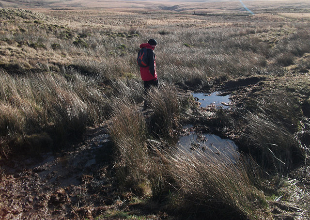
Baitings Gate Moor is a picturesque area located in the county of Yorkshire, England. Nestled within the Yorkshire Downs, the moorland is known for its breathtaking beauty and serene atmosphere.
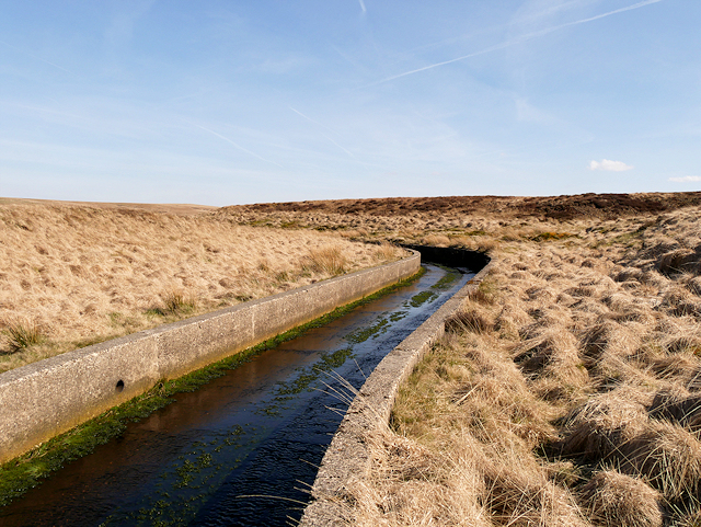
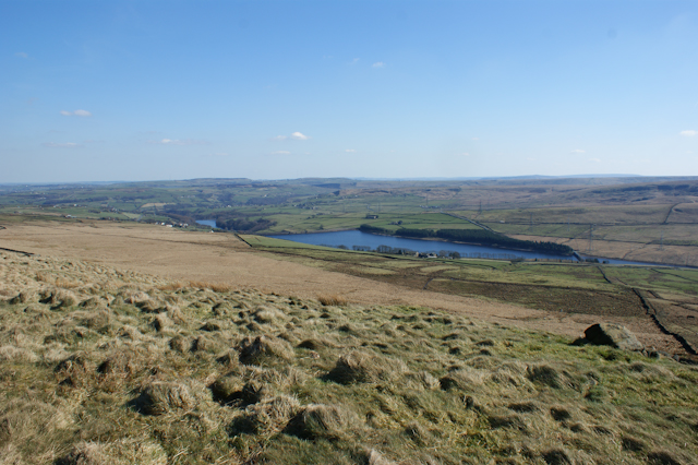
Covering an extensive area, Baitings Gate Moor is characterized by its rolling hills, expansive heather-covered landscapes, and scattered patches of woodland. The moorland is home to a diverse range of flora and fauna, including various species of birds, mammals, and plants. Visitors can often spot birds of prey soaring overhead, such as kestrels and buzzards, while rabbits and hares can be seen darting across the open fields.
The moorland is a popular destination for outdoor enthusiasts, offering ample opportunities for walking, hiking, and cycling. Numerous walking trails crisscross the area, allowing visitors to explore the vast expanse of the moorland and take in the stunning panoramic views. Additionally, the Yorkshire Downs provide a challenging terrain for cyclists, with winding country lanes and steep inclines that appeal to both leisure riders and experienced cyclists.
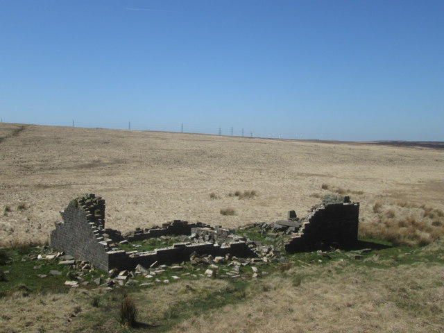
Baitings Gate Moor also holds historical significance, with evidence of ancient settlements and burial mounds dating back thousands of years. Archaeological finds in the area have provided valuable insights into the region's past, contributing to the understanding of Yorkshire's rich cultural heritage.
Overall, Baitings Gate Moor is a captivating destination that showcases the natural beauty and historical significance of Yorkshire. Its stunning landscapes, diverse wildlife, and recreational opportunities make it an ideal location for nature lovers and outdoor enthusiasts alike.
If you have any feedback on the listing, please let us know in the comments section below.
Baitings Gate Moor Images
Images are sourced within 2km of 53.666616/-2.0121759 or Grid Reference SD9918. Thanks to Geograph Open Source API. All images are credited.


Baitings Gate Moor is located at Grid Ref: SD9918 (Lat: 53.666616, Lng: -2.0121759)
Division: West Riding
Unitary Authority: Calderdale
Police Authority: West Yorkshire
What 3 Words
///peach.keeps.aimless. Near Ripponden, West Yorkshire
Nearby Locations
Related Wikis
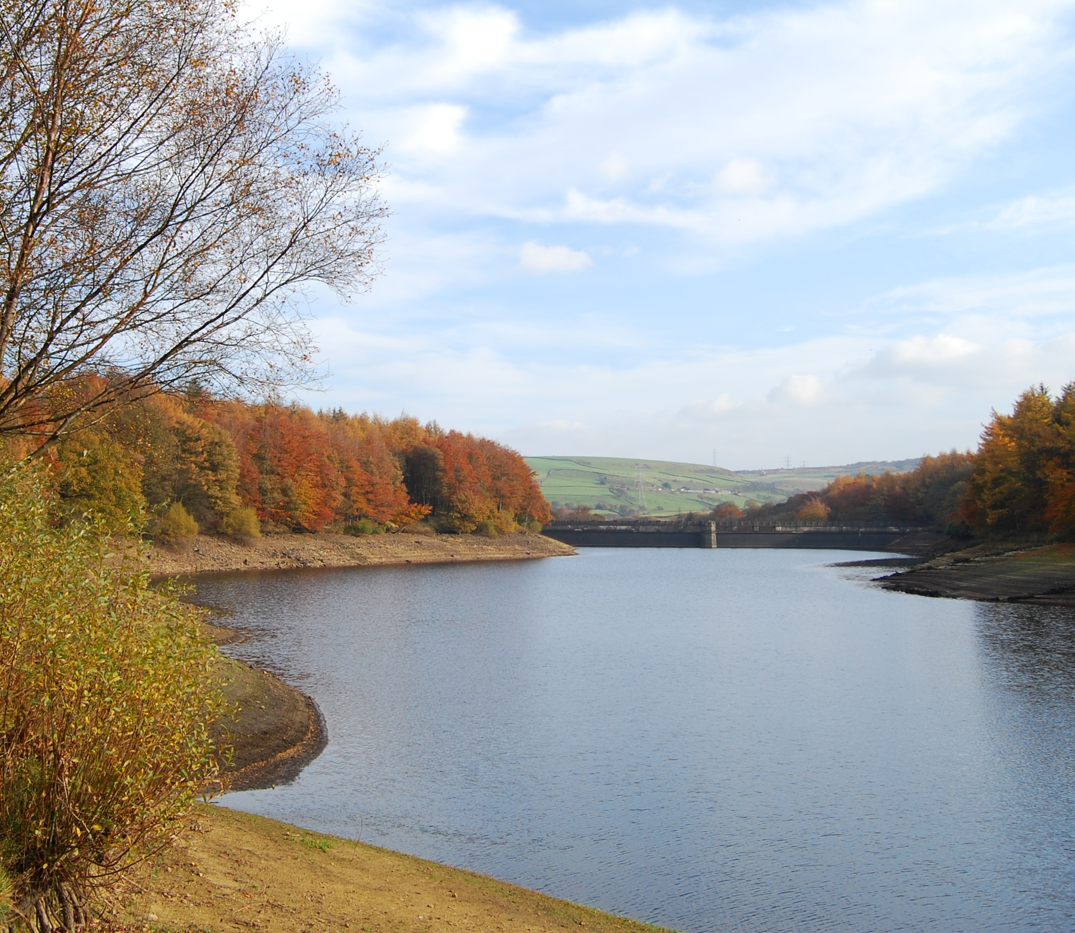
Baitings Reservoir
Baitings Reservoir is a large water supply reservoir operated by Yorkshire Water close to Ripponden in the West Yorkshire Pennines, England. It lies in...

Blackstone Edge Reservoir
Blackstone Edge Reservoir is a reservoir in the Metropolitan Borough of Rochdale, Greater Manchester, England. It is close to Blackstone Edge, from which...
Ryburn Reservoir
Ryburn Reservoir is a supply reservoir operated by Yorkshire Water close to Ripponden in the Yorkshire Pennines, England. It lies in the valley of the...

Blackstone Edge
Blackstone Edge ( BLAK-stən) is a gritstone escarpment at 472 metres (1,549 ft) above sea level in the Pennine hills surrounded by moorland on the boundary...

Cragg Vale
Cragg Vale is a village in Calderdale, West Yorkshire, England, located south of Mytholmroyd on the B6138 road which joins the A58 and the A646. The village...
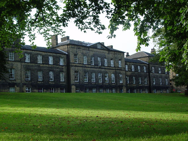
Rishworth School
Rishworth School is a co-educational independent school in the village of Rishworth, near Halifax, in West Yorkshire, England. With Heathfield, its junior...

Rishworth
Rishworth is a village in Calderdale, West Yorkshire, England. Historically in the West Riding of Yorkshire, it has a small church, farms and schools...

Booth Wood Reservoir
Booth Wood Reservoir is a man-made upland reservoir that lies north of the M62 motorway and south of the A672 road near to Rishworth and Ripponden in Calderdale...
Nearby Amenities
Located within 500m of 53.666616,-2.0121759Have you been to Baitings Gate Moor?
Leave your review of Baitings Gate Moor below (or comments, questions and feedback).