Old Pasture
Downs, Moorland in Yorkshire Craven
England
Old Pasture

Old Pasture is a picturesque village located in the heart of Yorkshire, England, nestled amidst the serene surroundings of the Downs and Moorland. With a population of approximately 1,500 residents, this idyllic countryside destination offers a tranquil retreat from the hustle and bustle of city life.
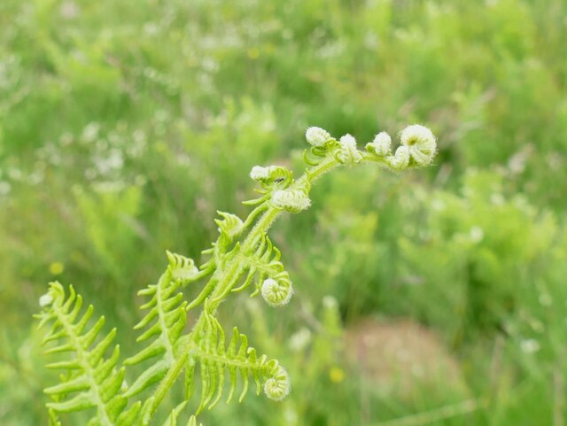
The village is renowned for its stunning natural beauty, characterized by rolling hills, lush green meadows, and captivating moorland vistas. Visitors can immerse themselves in the breathtaking landscapes by exploring the various walking trails that crisscross the area, offering panoramic views at every turn. The Downs, with their gently sloping hills, provide a perfect setting for leisurely strolls, while the Moorland offers a more adventurous experience, with its rugged terrain and wild beauty.
Old Pasture boasts a rich history, evident in its charming architecture and well-preserved landmarks. The village church, dating back to the 12th century, is a noteworthy attraction, showcasing magnificent stained glass windows and intricate stone carvings. Additionally, the local museum offers visitors a fascinating glimpse into the area's past, with exhibits displaying artifacts and documents from centuries gone by.
Despite its rural setting, Old Pasture is not lacking in modern amenities. The village center is home to a range of quaint shops, cozy cafes, and traditional pubs, where visitors can savor delicious local cuisine and experience the renowned Yorkshire hospitality.
Overall, Old Pasture is a hidden gem that effortlessly combines natural beauty, historical charm, and a warm community spirit, making it an ideal destination for nature lovers, history enthusiasts, and those seeking a peaceful escape in the heart of Yorkshire.
If you have any feedback on the listing, please let us know in the comments section below.
Old Pasture Images
Images are sourced within 2km of 54.101366/-2.0135443 or Grid Reference SD9967. Thanks to Geograph Open Source API. All images are credited.


![A walk from Grassington to Kelber and return [45] After passing through Kelber Gate, Bycliffe Road becomes enclosed by walls. Wharfedale is to the right, Littondale to the left with Hawkswick Moor in between.
After leaving the town, the walk crosses Grassington Moor via Bare House to Bycliffe Road. The road is followed past Kelber Gate towards Scot Gate Lane. The route then follows the long distance Dales Way back to Grassington. About 6½ miles.](https://s3.geograph.org.uk/geophotos/07/03/78/7037867_ff0a29e4.jpg)
![A walk from Grassington to Kelber and return [46] At this junction of tracks, Bycliffe Road, a public bridleway turns left.
After leaving the town, the walk crosses Grassington Moor via Bare House to Bycliffe Road. The road is followed past Kelber Gate towards Scot Gate Lane. The route then follows the long distance Dales Way back to Grassington. About 6½ miles.](https://s0.geograph.org.uk/geophotos/07/03/78/7037868_95a73232.jpg)
![A walk from Grassington to Kelber and return [47] A public bridleway runs from behind the camera to this junction and turns left towards Coniston. A public footpath branches off, running straight ahead towards Kettlewell.
After leaving the town, the walk crosses Grassington Moor via Bare House to Bycliffe Road. The road is followed past Kelber Gate towards Scot Gate Lane. The route then follows the long distance Dales Way back to Grassington. About 6½ miles.](https://s1.geograph.org.uk/geophotos/07/03/78/7037869_06c0f74d.jpg)
![A walk from Grassington to Kelber and return [48] From the junction, Bycliffe Road, a public bridleway, heads downhill towards Conistone.
After leaving the town, the walk crosses Grassington Moor via Bare House to Bycliffe Road. The road is followed past Kelber Gate towards Scot Gate Lane. The route then follows the long distance Dales Way back to Grassington. About 6½ miles.](https://s2.geograph.org.uk/geophotos/07/03/78/7037870_30b206dc.jpg)
![A walk from Grassington to Kelber and return [49] A look back along Bycliffe Road from the track junction.
After leaving the town, the walk crosses Grassington Moor via Bare House to Bycliffe Road. The road is followed past Kelber Gate towards Scot Gate Lane. The route then follows the long distance Dales Way back to Grassington. About 6½ miles.](https://s0.geograph.org.uk/geophotos/07/03/78/7037872_78b49e85.jpg)
![A walk from Grassington to Kelber and return [50] Bycliffe Road passes through this gate on its way to Conistone.
After leaving the town, the walk crosses Grassington Moor via Bare House to Bycliffe Road. The road is followed past Kelber Gate towards Scot Gate Lane. The route then follows the long distance Dales Way back to Grassington. About 6½ miles.](https://s1.geograph.org.uk/geophotos/07/03/78/7037873_df01dd3f.jpg)
![A walk from Grassington to Kelber and return [51] Now known as Scot Gate Lane, the track descends steeply between rock outcrops.
After leaving the town, the walk crosses Grassington Moor via Bare House to Bycliffe Road. The road is followed past Kelber Gate towards Scot Gate Lane. The route then follows the long distance Dales Way back to Grassington. About 6½ miles.](https://s3.geograph.org.uk/geophotos/07/03/78/7037875_896b4227.jpg)
![A walk from Grassington to Kelber and return [52] A view of the incised and eroded small valley known as Dib, seen from the track.
After leaving the town, the walk crosses Grassington Moor via Bare House to Bycliffe Road. The road is followed past Kelber Gate towards Scot Gate Lane. The route then follows the long distance Dales Way back to Grassington. About 6½ miles.](https://s0.geograph.org.uk/geophotos/07/03/78/7037876_80188cca.jpg)
![A walk from Grassington to Kelber and return [53] At this point a footpath, part of the long distance Dales Way, crosses the bridleway, Scot Gate Lane.
After leaving the town, the walk crosses Grassington Moor via Bare House to Bycliffe Road. The road is followed past Kelber Gate towards Scot Gate Lane. The route then follows the long distance Dales Way back to Grassington. About 6½ miles.](https://s2.geograph.org.uk/geophotos/07/03/78/7037878_8684a2a0.jpg)
![A walk from Grassington to Kelber and return [54] From the junction, this footpath, part of the long distance Dales Way, heads towards Grassington.
After leaving the town, the walk crosses Grassington Moor via Bare House to Bycliffe Road. The road is followed past Kelber Gate towards Scot Gate Lane. The route then follows the long distance Dales Way back to Grassington. About 6½ miles.](https://s0.geograph.org.uk/geophotos/07/03/78/7037880_65d87271.jpg)
![A walk from Grassington to Kelber and return [55] There is a small stone flag bridge over a rivulet. Just beyond the gate, a footpath branches off to the right to descend into the incised valley known as Dib.
After leaving the town, the walk crosses Grassington Moor via Bare House to Bycliffe Road. The road is followed past Kelber Gate towards Scot Gate Lane. The route then follows the long distance Dales Way back to Grassington. About 6½ miles.](https://s1.geograph.org.uk/geophotos/07/03/78/7037881_13f3d565.jpg)
![A walk from Grassington to Kelber and return [56] A view down the incised valley known as Dib. Seen from the footpath.
After leaving the town, the walk crosses Grassington Moor via Bare House to Bycliffe Road. The road is followed past Kelber Gate towards Scot Gate Lane. The route then follows the long distance Dales Way back to Grassington. About 6½ miles.](https://s2.geograph.org.uk/geophotos/07/03/78/7037882_2711e8ca.jpg)
Old Pasture is located at Grid Ref: SD9967 (Lat: 54.101366, Lng: -2.0135443)
Division: West Riding
Administrative County: North Yorkshire
District: Craven
Police Authority: North Yorkshire
What 3 Words
///tabs.managed.president. Near Grassington, North Yorkshire
Nearby Locations
Related Wikis

St Mary's Church, Conistone
St Mary's Church is in the village of Conistone, North Yorkshire, England. It is an active Anglican parish church in the deanery of Skipton, the archdeaconry...

Conistone
Conistone is a small village in the Craven district of North Yorkshire, England. It lies 3 miles (5 km) north of Grassington, 3 miles (5 km) south of Kettlewell...

Conistone with Kilnsey
Conistone with Kilnsey is a civil parish in Wharfedale in the district of Craven, North Yorkshire, England. It contains the villages of Kilnsey and Conistone...
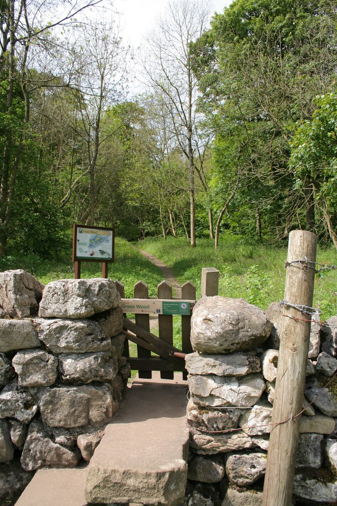
Grass Wood, Wharfedale
Grass Wood is an ancient woodland of 88 hectares (220 acres) in Wharfedale, North Yorkshire, England, that has an exceptional ground flora of woodland...
Nearby Amenities
Located within 500m of 54.101366,-2.0135443Have you been to Old Pasture?
Leave your review of Old Pasture below (or comments, questions and feedback).